
KEW GARDENS HILLS
Queens
Geographic Setting
Bounded by Union Turnpike to the south, the Van Wyck Expressway to the west, Cedar Grove Cemetery and Melbourne Avenue to the north, and Kissena Boulevard and Parsons Boulevard to the east, Kew Gardens Hills stretches across a broad rise in central Queens—a neighborhood defined by its gentle topography, postwar residential character, and vibrant cultural life. Positioned between Kew Gardens to the west and Flushing to the northeast, it occupies a pivotal place within the borough’s geography: both suburban in feel and urban in connectivity.
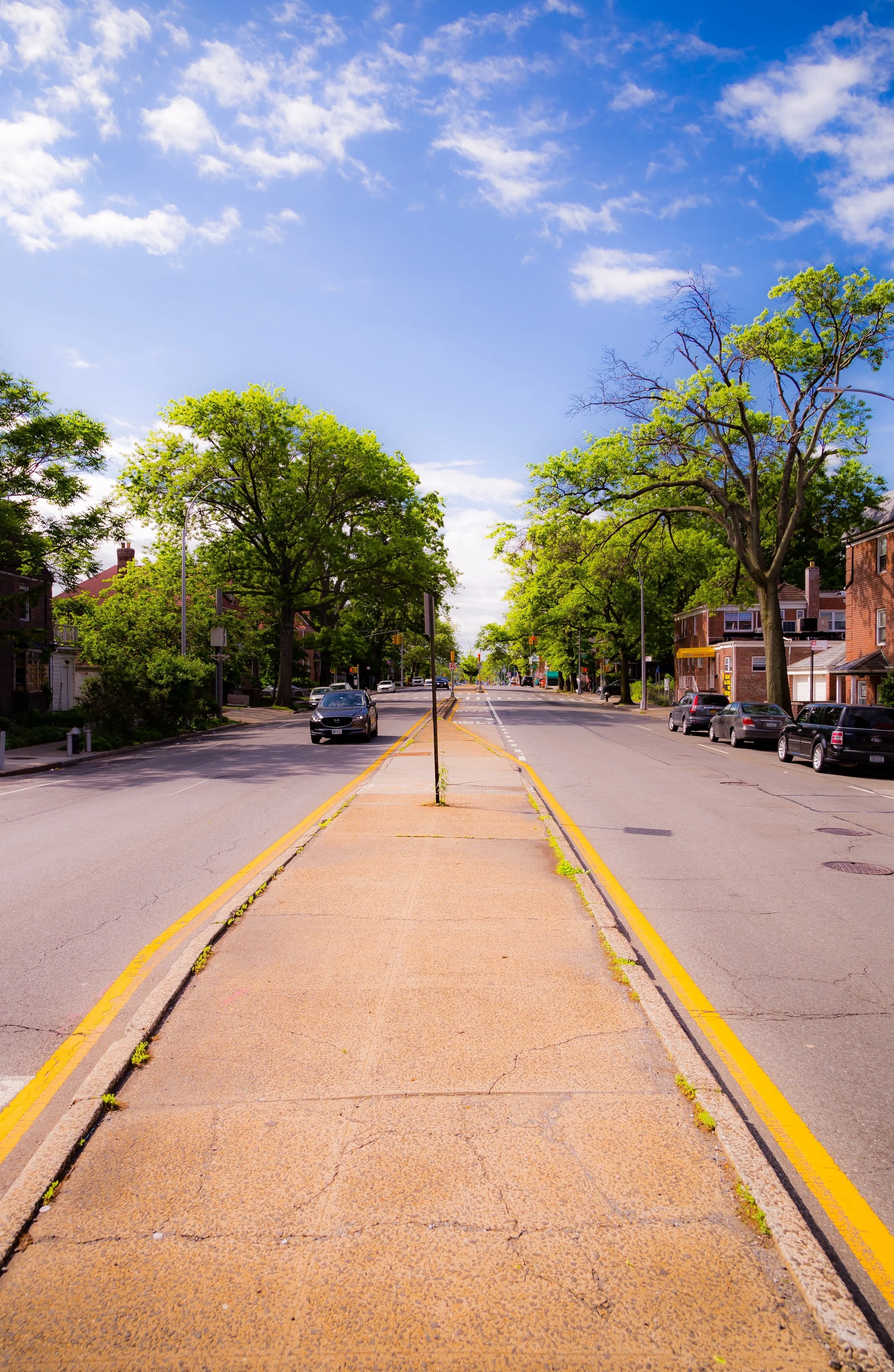
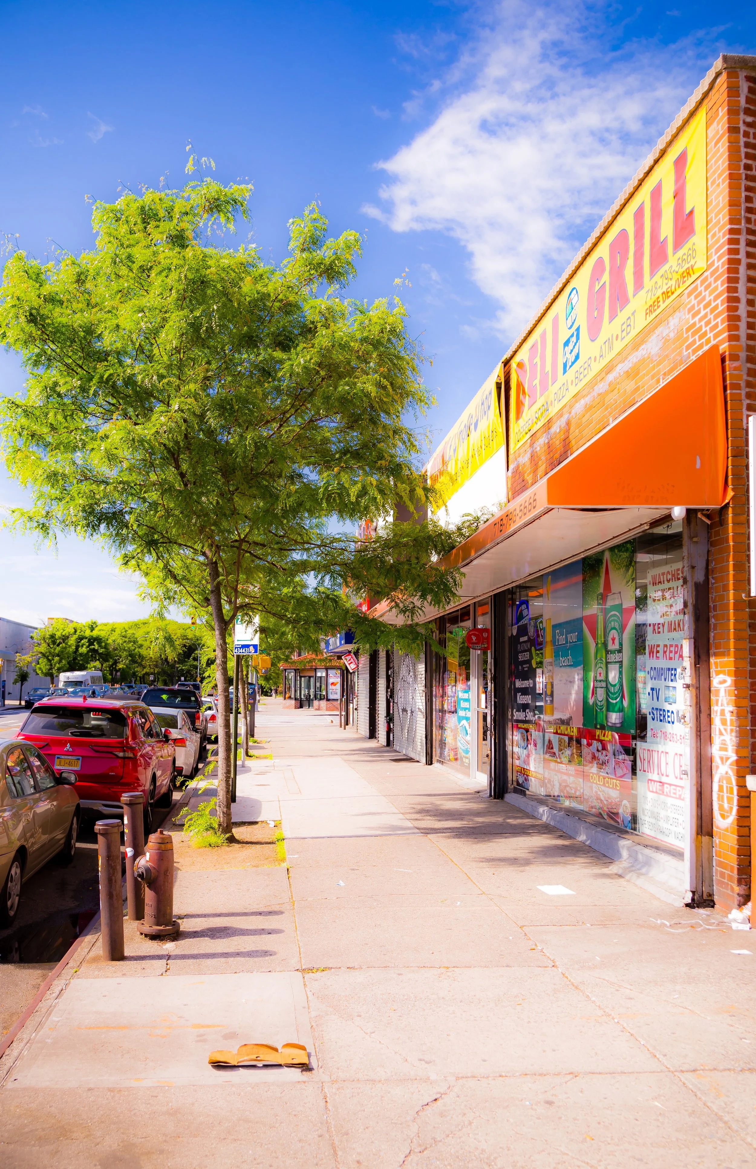
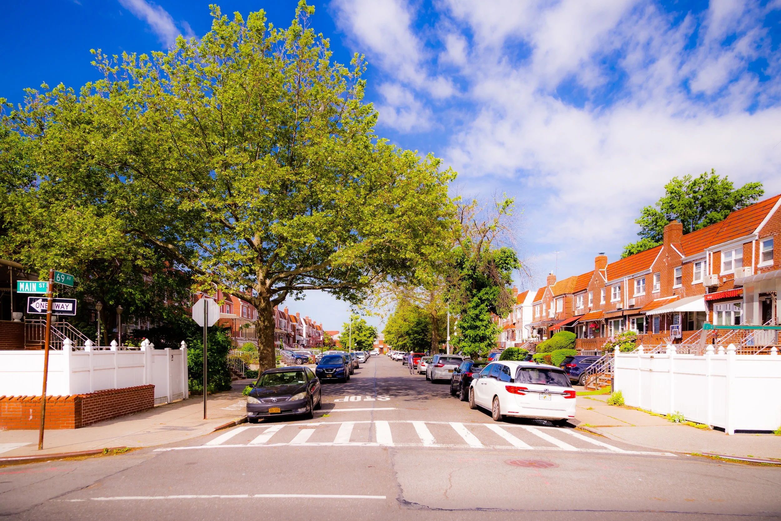
The neighborhood’s landscape blends low-rise apartment houses, semi-detached brick homes, and garden-style co-ops that emerged after World War II. Main Street and Kissena Boulevard serve as its primary commercial arteries, lined with kosher bakeries, markets, and global eateries that reflect the area’s Jewish, South Asian, and Middle Eastern populations. The Union Turnpike corridor provides direct links to Forest Hills, Jamaica, and Long Island, while the Van Wyck Expressway connects residents to JFK Airport and Manhattan. To the north, the leafy grounds of Cedar Grove Cemetery and the proximity to Queens College lend the neighborhood a sense of openness and academic vitality.
Kew Gardens Hills’ built form—modest yet cohesive—embodies the mid-century ideal of comfortable, attainable urban housing: human-scaled, community-oriented, and framed by trees that soften its streets and courtyards.
Etymology and Origins
The name “Kew Gardens Hills” links the neighborhood to its older and more established neighbor, Kew Gardens, to the southwest. Developers in the late 1930s adopted the name to evoke continuity and prestige while signaling the area’s elevated terrain—the “Hills” that rise east of the Van Wyck Expressway. Prior to development, the land consisted largely of open fields, small farms, and the wooded tracts of the Parsons family estate, interspersed with nurseries that once supplied trees to Flushing’s famed horticultural enterprises.
In the early 20th century, the area lay within the greater Town of Flushing, but remained sparsely settled until the late 1930s. The extension of Union Turnpike and the expansion of municipal infrastructure—particularly the construction of the Van Wyck Expressway and nearby Grand Central Parkway—set the stage for rapid suburbanization. The area’s first large-scale development, Kew Gardens Hills Estates, broke ground in 1937 under the direction of The Kew Gardens Hills Corporation, which envisioned a “modern garden community” for middle-income New Yorkers leaving Manhattan and Brooklyn.
The Neighborhood
Early–Mid 20th Century: The Planned Garden Community
Between the 1940s and 1950s, Kew Gardens Hills grew rapidly as one of Queens’ most successful postwar planned neighborhoods. Developers such as Abraham Levitt, Samuel Novak, and Alexander Chanin constructed rows of red-brick, two-story homes—each with small lawns, stoops, and shared courtyards—along gently curving streets named for English counties and poets. The neighborhood’s design reflected the Garden City movement: cohesive blocks, limited commercial intrusion, and abundant greenery.
The completion of the Van Wyck Expressway (1950) and the Long Island Expressway (1958) enhanced connectivity, while the nearby Kew Gardens Hills Library (opened 1954) became a civic anchor. In 1955, the relocation of Queens College to its permanent campus just north of Melbourne Avenue infused the neighborhood with academic energy and a youthful presence. The college’s Georgian architecture, tree-shaded quadrangles, and cultural programs helped define the intellectual and social tone of the area.
By the late 1950s, Kew Gardens Hills had developed a distinctive identity: a middle-class enclave centered around strong family life, education, and faith. Its proximity to synagogues, parks, and schools made it particularly attractive to Jewish families relocating from Brooklyn and the Bronx.
Mid–Late 20th Century: A Center of Jewish Life and Civic Stability
From the 1960s through the 1980s, Kew Gardens Hills became one of the most prominent centers of Orthodox Jewish life in Queens. The establishment of major institutions—Young Israel of Kew Gardens Hills (founded 1941), Yeshiva of Central Queens, Yeshiva Ohr HaChaim, and the Rabbinical Seminary of America (Yeshiva Chofetz Chaim)—cemented the neighborhood’s religious and cultural identity.
Small kosher bakeries, Judaica shops, and glatt markets along Main Street became community institutions, while annual parades, charity drives, and holiday celebrations animated neighborhood life. Despite urban challenges elsewhere in the city during the 1970s, Kew Gardens Hills maintained its stability, supported by a high rate of homeownership and tight-knit communal structures.
During this period, the neighborhood also began diversifying, welcoming Russian, Israeli, Bukharian, and later South Asian immigrants who enriched its cultural fabric. Apartment complexes such as Regal Gardens, Heathcote Hall, and Kew Terrace attracted retirees and young professionals alike. Civic organizations—including the Kew Gardens Hills Civic Association and Community Board 8—worked to preserve the area’s low-rise zoning and residential quality.
Kew Gardens Hills Video Coming Soon
21st Century: Diversity, Renewal, and Enduring Identity
In the 21st century, Kew Gardens Hills continues to thrive as a diverse, multigenerational neighborhood grounded in education, faith, and community engagement. While the Orthodox Jewish community remains central, the area has also become home to South Asian, Central Asian, and Middle Eastern families, creating a tapestry of languages and cultures. New mosques, temples, and cultural centers now stand beside long-established synagogues, reflecting the borough’s global character.
Commercial corridors along Main Street, Union Turnpike, and Kissena Boulevard have evolved into some of Queens’ most eclectic food and retail zones—featuring kosher delis beside Afghan bakeries, Indian spice markets near Israeli cafés, and small businesses that serve both local and international clientele. The Queens College campus continues to shape the neighborhood’s intellectual and artistic life through public concerts, lectures, and exhibits.
Infrastructure upgrades—such as the reconstruction of Union Turnpike, improvements to Van Wyck Expressway interchanges, and library renovations—have modernized the area while preserving its residential integrity. Despite increased traffic and density pressures from nearby Flushing, zoning protections have largely maintained Kew Gardens Hills’ low-rise scale and leafy streetscape.
Kew Gardens Hills Photo Gallery
Spirit and Legacy
Kew Gardens Hills stands as a testament to Queens’ mid-century vision of urban suburbia—a place where families, faith, and scholarship flourish side by side. From its origins as a planned community to its role as a center of Jewish learning and now a global mosaic of cultures, the neighborhood has continually adapted while preserving its essential character of order, community, and continuity.
At twilight, as the lights of Queens College glimmer across Melbourne Avenue and the aroma of fresh challah and saffron rice drifts down Main Street, Kew Gardens Hills feels like a living bridge between eras and worlds—a neighborhood built on hills and harmony, still thriving at the heart of Queens.
New York City
Use this custom Google map to explore where every neighborhood in all five boroughs of New York City is located.
The Five Boroughs
One of New York City’s unique qualities is its organization in to 5 boroughs: Manhattan, Brooklyn, Queens, The Bronx, and Staten Island. These boroughs are part pragmatic administrative districts, and part vestiges of the region’s past. Each borough is an entire county in New York State - in fact, Brooklyn is, officially, Kings County, while Staten Island is, officially Richmond County. But that’s not the whole story …
Initially, New York City was located on the southern tip of Manhattan (now the Financial District) that was once the Dutch colony of New Amsterdam. Across the East River, another city was rising: Brooklyn. In time, the city planners realized that unification between the rapidly rising cities would create commercial and industrial opportunities - through streamlined administration of the region.
So powerful was the pull of unification between New York and Brooklyn that three more counties were pulled into the unification: The Bronx, Queens, and Staten Island. And on January 1, 1898, the City of New York unified two cities and three counties into one Greater City of New York - containing the five boroughs we know today.
But because each borough developed differently and distinctly until unification, their neighborhoods likewise uniquely developed. Today, there are nearly 390 neighborhoods, each with their own histories, cultures, cuisines, and personalities - and each with residents who are fiercely proud of their corner of The Big Apple.


