DOUGLASTON
Queens
Geographic Setting
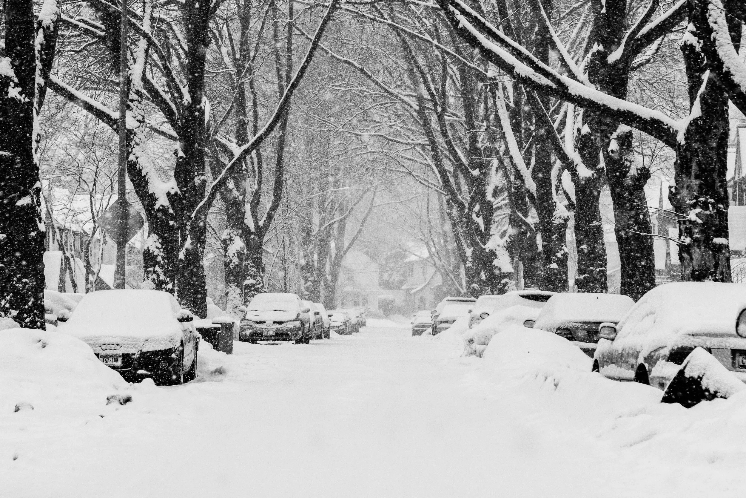
Bounded by Marathon Parkway to the east, the Grand Central Parkway to the south, Alley Pond Park to the west, and 235th Street and Cherry Street to the north, Douglaston occupies one of the most distinctive and verdant corners of northeastern Queens—a landscape of rolling hills, towering trees, and gracious homes that mark the meeting point between New York City’s urban edge and the pastoral character of Long Island. The neighborhood unfolds westward from the Douglaston Parkway and the Long Island Rail Road’s Douglaston Station, its topography descending gently toward the marshes of Alley Creek and the wooded ridges of Alley Pond Park, one of the borough’s largest and most ecologically diverse green spaces.
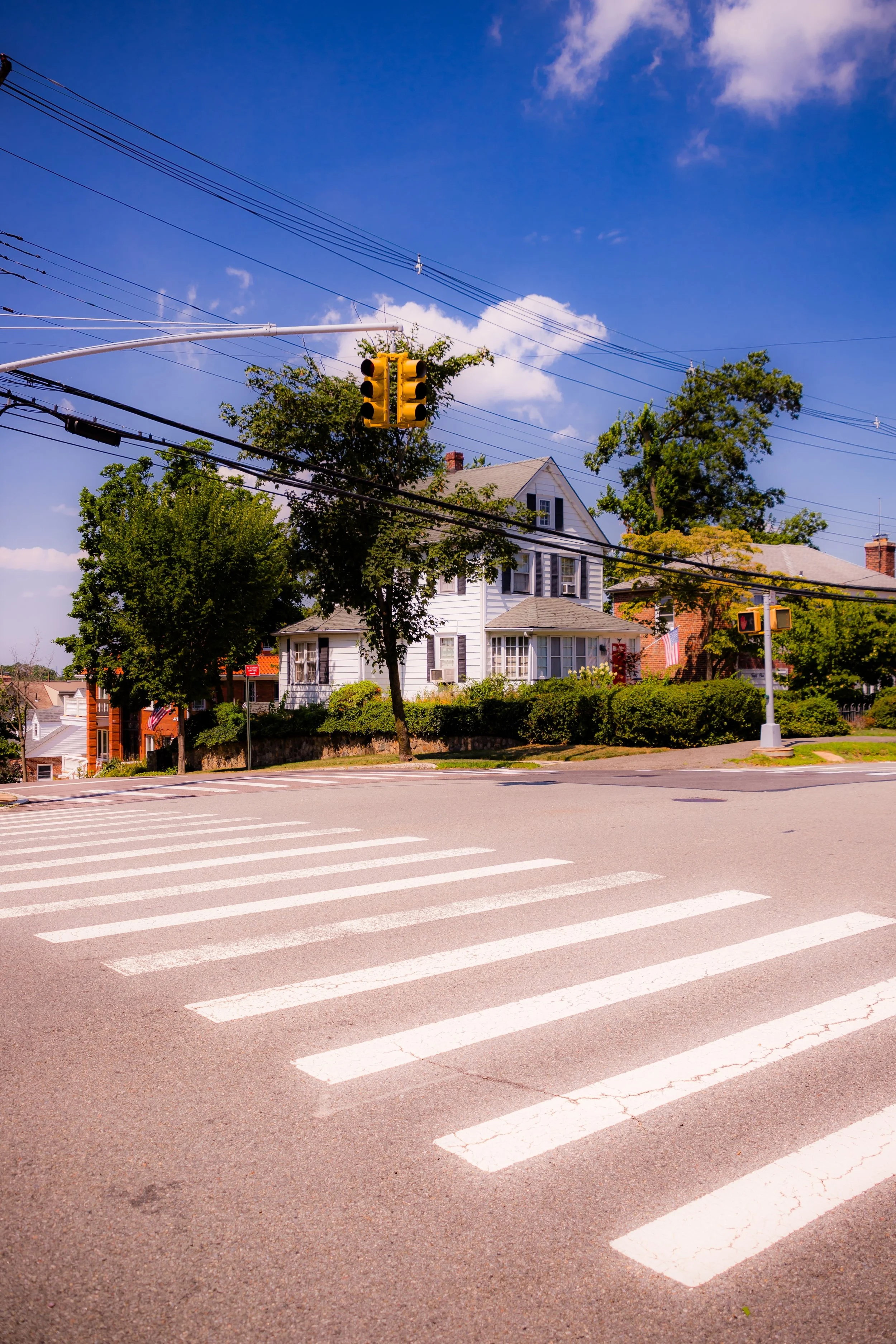
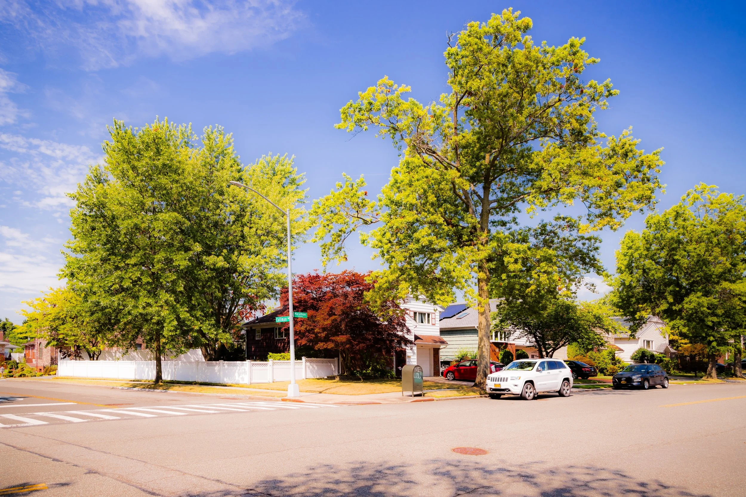
Douglaston is both geographically and architecturally unique: a patchwork of early-20th-century suburban planning, midcentury expansion, and protected historic districts. Within its boundaries lie several distinct sub-neighborhoods—Douglaston Hill, Douglaston Park, and Douglas Manor—each with its own character yet united by shared geography and a long tradition of preservation. The neighborhood’s winding residential lanes, shaded by century-old elms and oaks, open occasionally to sweeping views of Little Neck Bay and the parklands that form its natural borders. Despite its proximity to major arteries like the Grand Central Parkway and Cross Island Parkway, Douglaston retains a quiet, village-like atmosphere rarely found elsewhere in New York City.
Etymology and Origins
Douglaston takes its name from the Douglas family, particularly George Douglas and his cousin William P. Douglas, wealthy New York businessmen and philanthropists who acquired much of the surrounding farmland in the 19th century. Their holdings, known collectively as the Douglas Estate, encompassed hundreds of acres stretching from Little Neck Bay inland toward present-day Marathon Parkway. The family’s influence shaped the development of the entire area, from the establishment of the Douglaston Station on the Long Island Rail Road in 1866 to the eventual subdivision of their land into planned residential communities.
Before the Douglas family’s arrival, this land was part of the Town of Flushing and was settled by Dutch and English colonists in the 17th century. The Matinecock people, who had lived along the creeks and shoreline of Little Neck Bay for centuries, were gradually displaced as agriculture spread eastward. Throughout the 18th and early 19th centuries, the area remained largely rural, dotted with orchards, dairy farms, and small hamlets connected by the old North Hempstead Turnpike (today’s Northern Boulevard).
The Neighborhood
Late 19th–Early 20th Century: From Estate to Suburb
The arrival of the Long Island Rail Road in the mid-19th century was transformative, linking the Douglas family’s estate directly to Manhattan and sparking early suburban development. By the 1890s, the area around Douglaston Station began to take shape as a commuter community, attracting professionals seeking country living within city limits. The Douglas Land Improvement Company, established by William P. Douglas’s heirs, subdivided the estate into large residential lots governed by restrictive covenants designed to preserve its rural character.
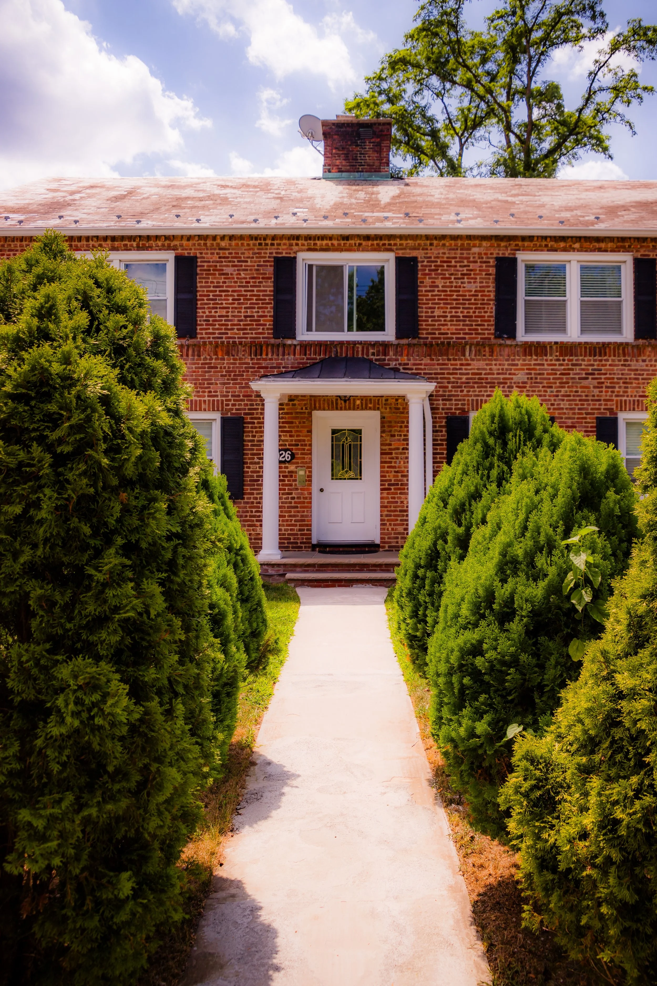
In 1906, the company commissioned architect and planner Arnold W. Brunner to design the nearby Douglas Manor—a model “garden suburb” whose curving streets, landscaped setbacks, and waterfront views reflected the ideals of the City Beautiful movement. This same ethos informed the broader development of Douglaston, where architecture emphasized craftsmanship and variety. Homes built between 1890 and 1935 display an array of styles: Colonial Revival, Tudor Revival, Mediterranean, and Arts & Crafts, often featuring wood shingles, fieldstone, and slate roofs that harmonize with the natural landscape.
The community’s design fostered not only beauty but also cohesion. The Douglaston Club, founded in 1917 and housed in a converted 1819 mansion overlooking Little Neck Bay, became the neighborhood’s social hub, while small churches, gardens, and civic associations established a pattern of local engagement that continues today.
Mid-20th Century: Expansion and Preservation
By the mid-20th century, Douglaston had matured into a well-established suburban enclave within New York City’s boundaries. Its residential fabric expanded eastward with the creation of Douglaston Park, a postwar development centered around the Douglaston Golf Course, whose gently rolling fairways occupy much of the neighborhood’s southern tier. The course—originally part of the Douglas estate—became a municipal park in 1962, preserving the area’s open space while providing recreation for residents.
The construction of the Grand Central Parkway in the 1930s and the Cross Island Parkway shortly thereafter defined Douglaston’s southern and western edges but also insulated it from overdevelopment. The neighborhood’s strong civic culture, led by the Douglaston Civic Association and the Douglas Manor Association, ensured that its architectural heritage and green spaces were protected even as Queens urbanized rapidly around it.
During the 1950s–1970s, Douglaston remained a bastion of single-family homeownership, attracting professionals, educators, and civil servants who valued its stability, quality schools, and proximity to both Manhattan and the natural environment. Unlike neighboring Bayside or Little Neck, it avoided large-scale apartment construction, preserving its low-density suburban character.
Douglaston Video Coming Soon
Late 20th Century: Landmarking and Identity
Recognizing the historical and architectural significance of Douglaston’s older sections, the New York City Landmarks Preservation Commission designated the Douglaston Hill Historic District in 1997, encompassing 85 buildings surrounding Douglaston Parkway and Northern Boulevard. The district includes some of the city’s finest examples of early suburban architecture—Queen Anne, Colonial Revival, and Shingle Style homes set among mature trees and landscaped gardens.
The adjacent Douglas Manor Historic District, also designated in 1997, extended landmark protection to more than 600 structures north of Cherry Street, preserving the integrity of one of America’s earliest and best-preserved planned suburbs. These designations reflected decades of advocacy by local residents who viewed preservation not as nostalgia, but as a living covenant between past and present.
Throughout the late 20th century, Douglaston maintained its reputation for civic engagement and environmental stewardship. Residents worked to protect Alley Pond Park, one of the city’s most important ecological preserves, home to rare wetlands and the ancient “Alley Pond Giant” tulip tree. The park remains an invaluable buffer of green space along Douglaston’s western border, linking the community to the borough’s wider natural heritage.
21st Century: Nature, Heritage, and Community
Today, Douglaston stands as one of the greenest and most historically intact neighborhoods in New York City—a place where the ideals of early 20th-century suburban planning still thrive. Its winding roads and manicured lawns give way to panoramic views of Little Neck Bay and the forested trails of Alley Pond Park, while its compact commercial strip along Douglaston Parkway retains a small-town feel: a few cafés, family-run shops, and the beloved Douglaston LIRR station house, built in 1887 and lovingly maintained.
The neighborhood remains predominantly residential, with a mix of stately prewar homes, postwar colonials, and newer houses built in harmony with their surroundings. Local institutions—the Douglaston Club, the Douglaston Civic Association, and nearby St. Anastasia Roman Catholic Church—continue to anchor community life. Events like the Douglaston Art Fair, yacht regattas, and neighborhood parades reinforce the enduring sense of belonging that has defined the area for over a century.
As Queens grows denser and more diverse, Douglaston remains a counterpoint to the city’s speed—a place where wooded streets, preserved architecture, and community pride coexist within view of Manhattan’s skyline. Its proximity to both urban infrastructure and natural sanctuary makes it a rare hybrid: a living example of the early suburban dream realized within a modern metropolis.
Douglaston Photo Gallery
Spirit and Legacy
Douglaston’s legacy is rooted in its harmony between landscape and community. Conceived as a residential haven, it has fulfilled that promise through generations of stewardship and civic commitment. Its streets, lined with maples and stately homes, evoke a sense of continuity and calm that transcends time.
New York City
Use this custom Google map to explore where every neighborhood in all five boroughs of New York City is located.
The Five Boroughs
One of New York City’s unique qualities is its organization in to 5 boroughs: Manhattan, Brooklyn, Queens, The Bronx, and Staten Island. These boroughs are part pragmatic administrative districts, and part vestiges of the region’s past. Each borough is an entire county in New York State - in fact, Brooklyn is, officially, Kings County, while Staten Island is, officially Richmond County. But that’s not the whole story …
Initially, New York City was located on the southern tip of Manhattan (now the Financial District) that was once the Dutch colony of New Amsterdam. Across the East River, another city was rising: Brooklyn. In time, the city planners realized that unification between the rapidly rising cities would create commercial and industrial opportunities - through streamlined administration of the region.
So powerful was the pull of unification between New York and Brooklyn that three more counties were pulled into the unification: The Bronx, Queens, and Staten Island. And on January 1, 1898, the City of New York unified two cities and three counties into one Greater City of New York - containing the five boroughs we know today.
But because each borough developed differently and distinctly until unification, their neighborhoods likewise uniquely developed. Today, there are nearly 390 neighborhoods, each with their own histories, cultures, cuisines, and personalities - and each with residents who are fiercely proud of their corner of The Big Apple.


