OLD TOWN
Staten Island
Geographic Setting
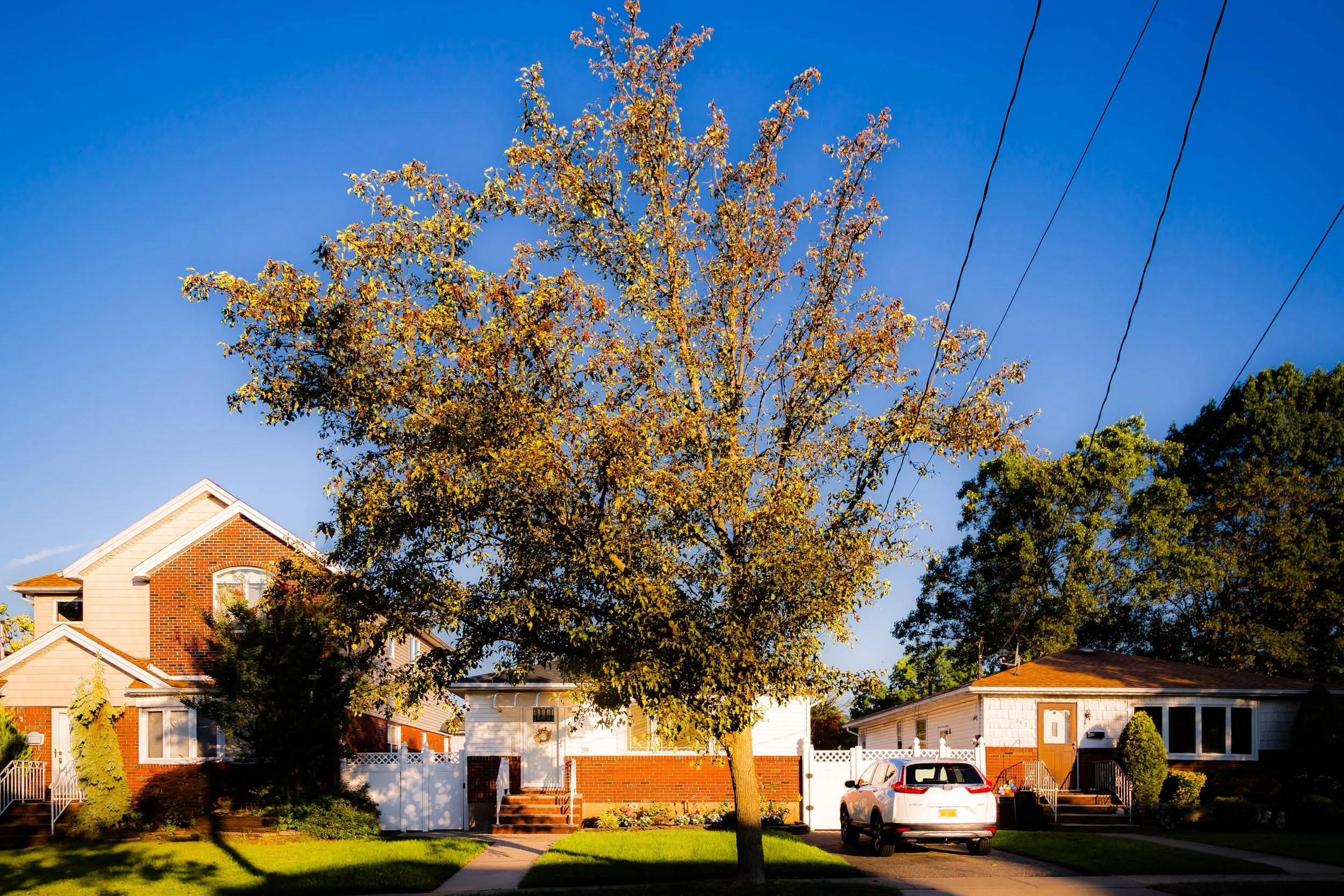
Bounded by Richmond Road to the west, West Fingerboard Road to the northwest, Glendale Avenue to the northeast, the Staten Island Railway to the southeast, and Old Town Road to the south, Old Town lies along Staten Island’s northeastern shore at the base of the island’s central hills. It is one of Staten Island’s oldest continuous settlements—an historic residential enclave defined by winding streets, colonial-era institutions, and the layered geography where upland slopes meet the coastal plain.
The neighborhood sits just south of Grasmere and west of Dongan Hills, with Old Town Road and Richmond Road forming its principal axes. To the east, the railway line and adjacent Hylan Boulevard corridor connect it to the island’s other East Shore communities and the ferry terminals at St. George. Despite its proximity to dense traffic and transit routes, Old Town retains a distinctive small-scale character: a blend of colonial homesteads, early 20th-century houses, schools, and churches nestled among mature trees and uneven topography. Its name—simple, descriptive, and enduring—captures both the spirit and the chronology of a place where Staten Island’s European story began.
Etymology
The name Old Town (or Oude Dorp in the original Dutch) is among the most historically significant in all of Staten Island. Established in 1661 under Dutch colonial rule, it was the first permanent European settlement on Staten Island, making it literally the “Old Village.” Dutch settlers, many of them from New Amsterdam and the nearby mainland, named it to distinguish it from Nieuw Dorp (“New Village”), which developed later to the southwest and is known today as New Dorp.
Over centuries, “Old Town” remained both a geographic and symbolic marker—the cradle of organized settlement on the island. The name survived English conquest, American independence, and modern urbanization, carrying with it the resonance of Staten Island’s beginnings and its enduring link to the colonial past.
The Neighborhood
Origins through the 19th Century
Old Town was established in 1661 by a group of Dutch, Walloon, and French Huguenot settlers who received a land patent from Peter Stuyvesant, the last Dutch Director-General of New Netherland. The original colony consisted of roughly a dozen families who built homes, barns, and small farms on land stretching inland from the lower harbor. The settlers chose the site for its fresh water, arable soil, and sheltered position near the Narrows. Their village, Oude Dorp, became the nucleus of early Staten Island society, complete with a palisade for protection and a rudimentary local government under Dutch law.
Following the English takeover of New Netherland in 1664, the settlement persisted under new rule, its inhabitants adapting to English administration while maintaining their agricultural traditions. By the 18th century, Old Town had become a small but stable farming community of Dutch and English descent, producing grain, livestock, and timber for New York markets. Richmond Road—originally a colonial path linking farms and ferry landings—became the settlement’s main artery.
During the American Revolution, Old Town’s strategic coastal location placed it at the heart of military occupation. British troops encamped nearby, and many local structures were commandeered or destroyed. After the war, the area gradually recovered, retaining its rural character even as other parts of Staten Island began to industrialize.
Early 20th Century: The Rise of a Commuter Suburb
The turn of the 20th century marked Old Town’s transformation from a quiet agricultural hamlet into a suburban residential district. The extension of the Staten Island Railway through the area in the 1880s, with a station named Old Town, provided direct access to St. George and Manhattan via ferry, making it attractive to middle-class commuters. Modest homes and small apartment buildings replaced old farms, while Richmond Road evolved into a commercial corridor serving the growing population.
In 1897, the Staten Island Homeopathic Hospital—later renamed the Bayley Seton Hospital—was established just north of Old Town, bringing employment and medical services to the community. Churches and schools flourished: Our Lady Queen of Peace Parish (est. 1922) became a central institution, while nearby PS 41 anchored public education. The landscape, though suburbanizing, retained traces of its past—crooked roads following ancient property lines, and historic homes nestled amid new construction.
By the 1930s and 1940s, Old Town was firmly established as one of Staten Island’s earliest commuter neighborhoods. Streetcars and buses supplemented the railway, connecting residents to the ferry and to employment in Staten Island’s growing North Shore industries. Its mix of working- and middle-class families gave the area a stable, community-oriented character that endures today.
Old Town Video Coming Soon
Mid–Late 20th Century: Suburban Maturity and Change
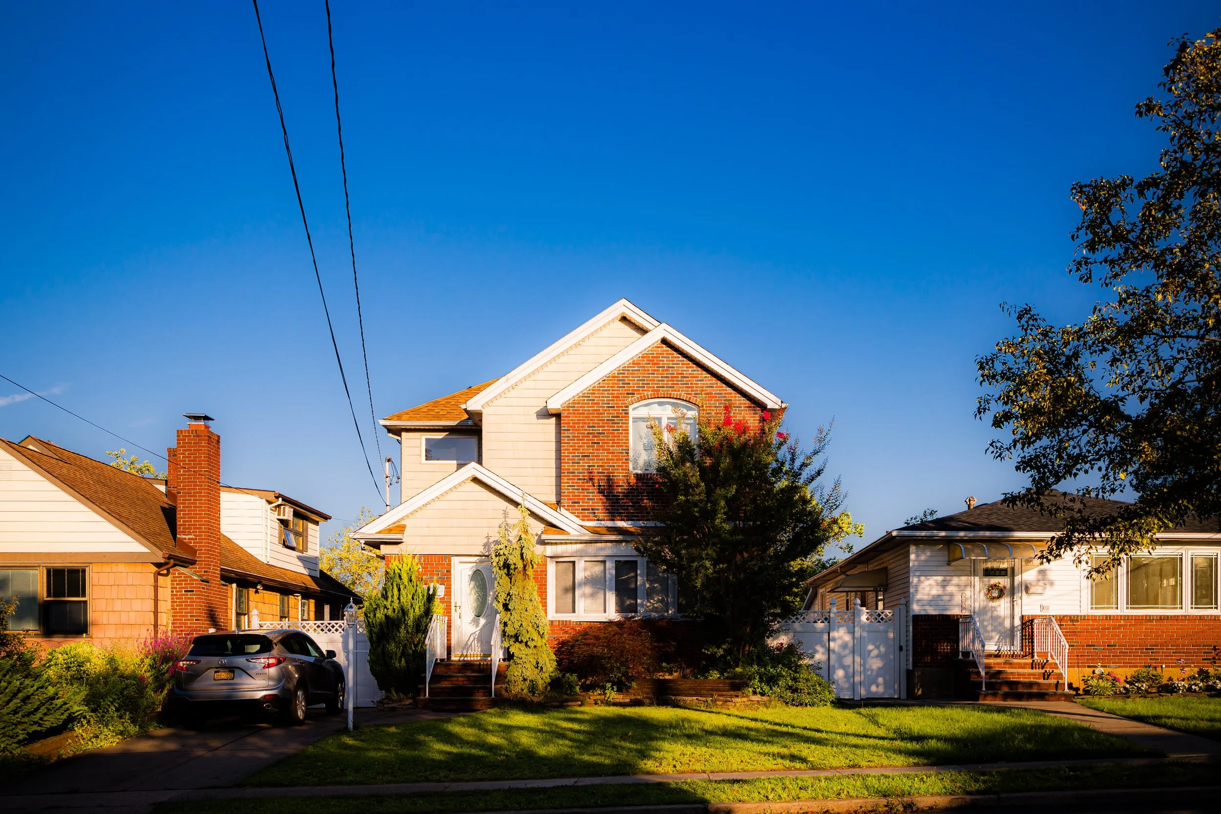
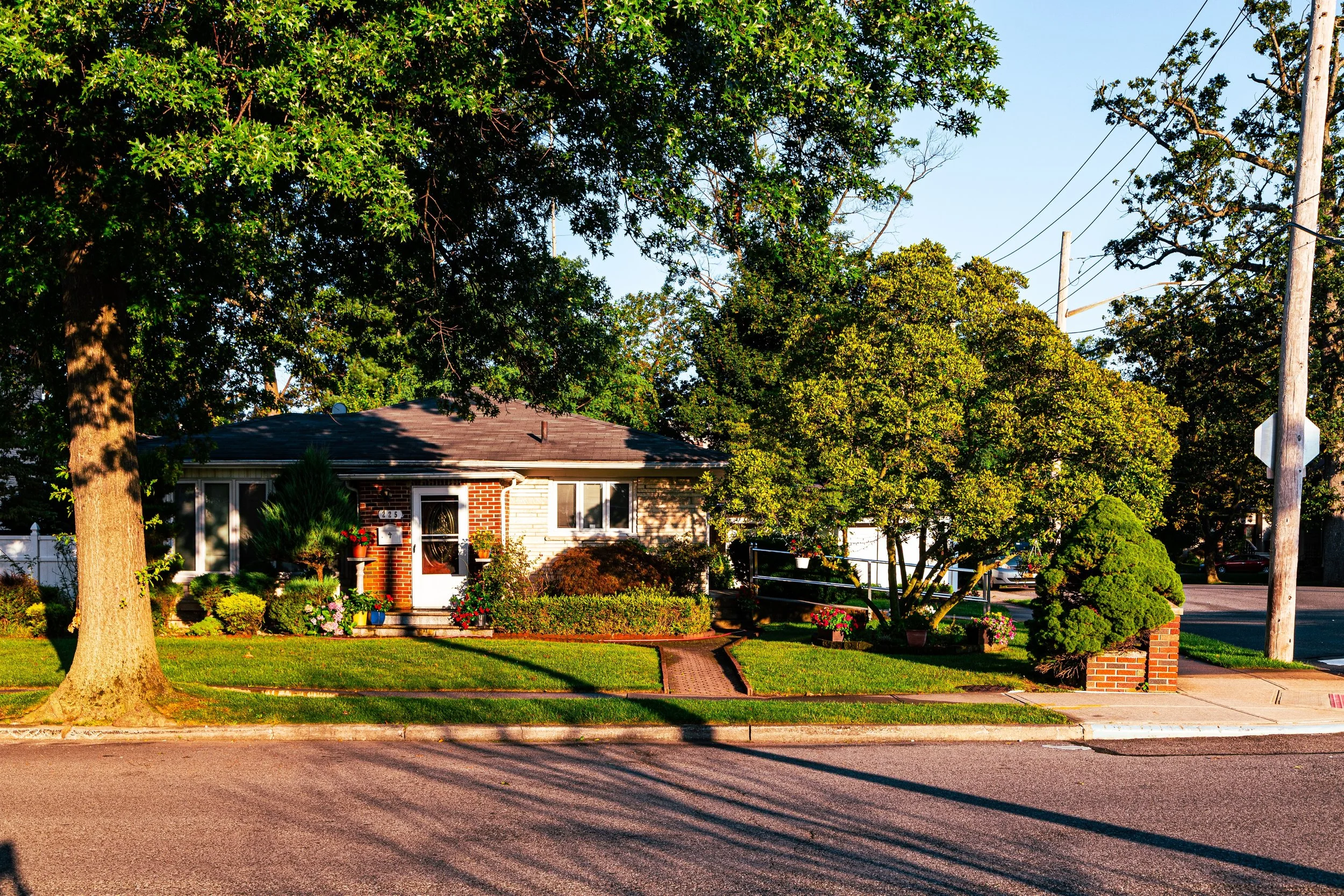
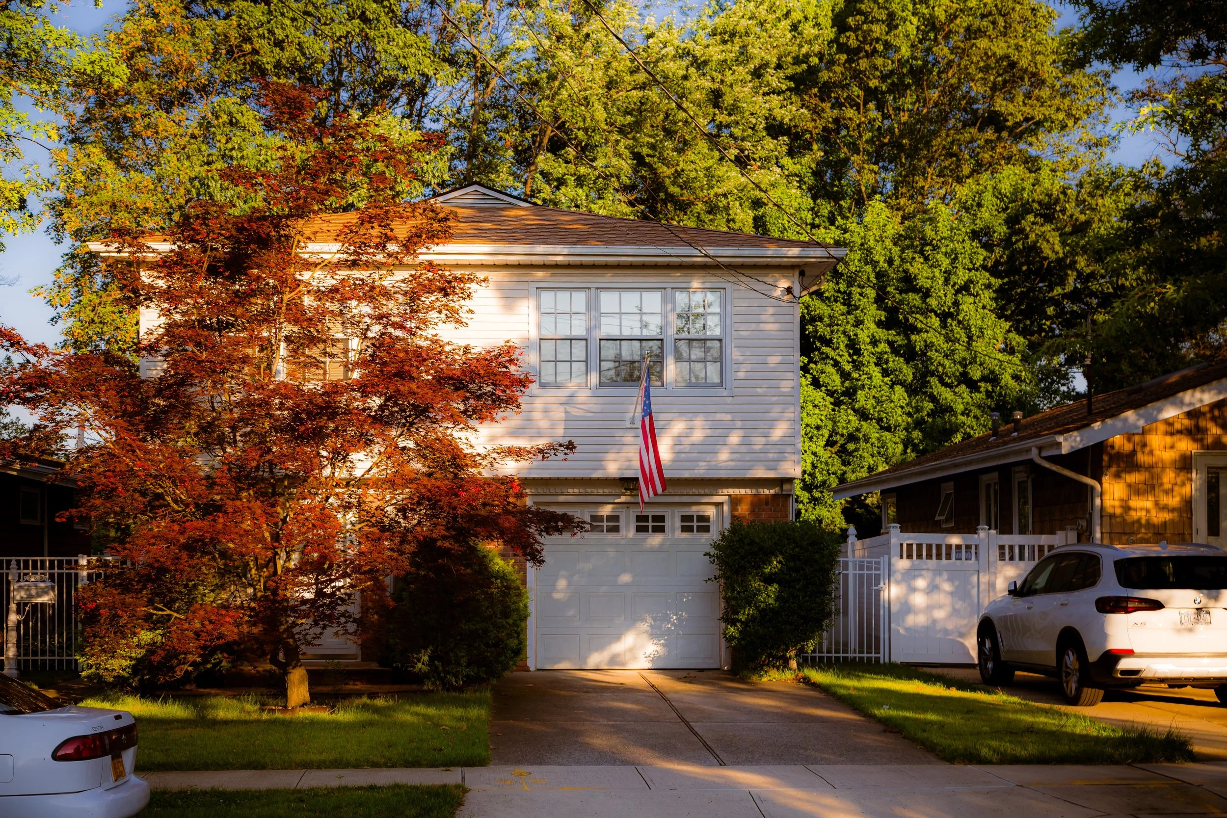
The post–World War II era brought both modernization and preservation. Staten Island’s population boom following the construction of the Verrazzano-Narrows Bridge (1964) increased traffic and housing demand, but Old Town’s compact geography and established housing stock helped it maintain continuity. Modest single-family homes and small apartment buildings filled in remaining open parcels, while long-standing families remained on tree-shaded streets near Old Town Road, Dongan Hills Avenue, and Richmond Road.
The closing decades of the 20th century saw both challenges and adaptation. The Bayley Seton Hospital complex, once a thriving medical center, began to decline amid healthcare restructuring, leaving parts of its campus vacant. Yet the community remained resilient. The nearby Staten Island Railway continued to provide reliable transit, and local commerce along Richmond Road and Old Town Road preserved a village-like feel amid urban expansion.
Civic and religious institutions, including Our Lady Queen of Peace, St. Joseph’s School, and the Old Town Civic Association, maintained the neighborhood’s strong communal fabric. The balance between heritage and modernity—between the 17th-century village and the 20th-century suburb—became the hallmark of Old Town’s identity.
21st Century: Heritage, Renewal, and Continuity
In the 21st century, Old Town stands as one of Staten Island’s most historically resonant and geographically strategic neighborhoods. Its central location—close to Hylan Boulevard, the Staten Island Expressway, and the Bay Street corridor—places it within reach of both the ferry terminal and the island’s southern expanses. Yet despite surrounding development, Old Town has retained a modest, human scale: quiet side streets, small gardens, and a diversity of architectural styles reflecting 150 years of growth.
Ongoing redevelopment of the Bayley Seton Hospital site has become a focal point for community dialogue, balancing the need for new housing and health facilities with the desire to preserve open space and historic character. The nearby Staten Island University Hospital, Vanderbilt Avenue industrial corridor, and Clove Lakes Park add layers of accessibility and amenity. Meanwhile, the neighborhood’s proximity to Grasmere Lake and the Greenbelt offers a rare juxtaposition of urban and natural environments.
Culturally, Old Town has evolved into a diverse community that reflects Staten Island’s broader demographic shifts, welcoming new immigrant families from across the globe while retaining its established residents. The result is a neighborhood that blends deep roots with dynamic change—a living continuum that mirrors the borough itself.
Old Town Photo Gallery
Spirit and Legacy
The spirit of Old Town lies in its foundation—literally and historically. As Staten Island’s first European settlement, it embodies the origins of the borough’s story: a place of arrival, adaptation, and endurance. Its narrow roads and layered architecture tell the tale of a community that has outlasted empires, wars, and waves of urban transformation.
Its legacy is one of quiet continuity. Here, the past is not confined to monuments but lived daily in the rhythm of its streets—the curve of Richmond Road, the silhouette of a 19th-century church, the echoes of Dutch homesteads beneath modern foundations. Old Town is where Staten Island began, and where its identity still feels most tangible: rooted, resilient, and ever renewing.
New York City
Use this custom Google map to explore where every neighborhood in all five boroughs of New York City is located.
The Five Boroughs
One of New York City’s unique qualities is its organization in to 5 boroughs: Manhattan, Brooklyn, Queens, The Bronx, and Staten Island. These boroughs are part pragmatic administrative districts, and part vestiges of the region’s past. Each borough is an entire county in New York State - in fact, Brooklyn is, officially, Kings County, while Staten Island is, officially Richmond County. But that’s not the whole story …
Initially, New York City was located on the southern tip of Manhattan (now the Financial District) that was once the Dutch colony of New Amsterdam. Across the East River, another city was rising: Brooklyn. In time, the city planners realized that unification between the rapidly rising cities would create commercial and industrial opportunities - through streamlined administration of the region.
So powerful was the pull of unification between New York and Brooklyn that three more counties were pulled into the unification: The Bronx, Queens, and Staten Island. And on January 1, 1898, the City of New York unified two cities and three counties into one Greater City of New York - containing the five boroughs we know today.
But because each borough developed differently and distinctly until unification, their neighborhoods likewise uniquely developed. Today, there are nearly 390 neighborhoods, each with their own histories, cultures, cuisines, and personalities - and each with residents who are fiercely proud of their corner of The Big Apple.


