RICHMOND VALLEY
Staten Island
Geographic Setting
Bounded by the Korean War Veterans Parkway to the north, Richard Avenue to the east, the Raritan Bay to the south, Page Avenue to the west, Mill Creek to the southwest, and the Kill Van Kull to the northwest, Richmond Valley occupies Staten Island’s southwesternmost corner—a quiet, low-lying region where suburban lanes, tidal wetlands, and wooded creeks meet the open waters of the bay. The neighborhood lies south of Pleasant Plains and west of Prince’s Bay, forming the outermost reach of the island’s South Shore. Its geography is both intimate and expansive: modest residential enclaves nestled beside marshes and streams, with the sweep of Raritan Bay stretching toward New Jersey.
The Staten Island Railway runs through the neighborhood, its Richmond Valley station serving as the area’s central transit link along Amboy Road. To the west, Page Avenue marks Staten Island’s final boundary before the Outerbridge Crossing, while to the east, Mount Loretto Unique Area and Lemon Creek Park preserve vast tracts of coastal woodland and marshland. Richmond Valley remains one of the island’s most serene and open landscapes—a place where the city fades into meadow, and the rhythm of the tides still defines the pace of life.
Etymology
The name Richmond Valley emerged in the mid-19th century, reflecting both geography and history. The term “Richmond” ties the neighborhood to Richmond County, Staten Island’s historic name under British rule, while “Valley” describes its position in a broad, low-lying basin between the uplands of Pleasant Plains and the tidal inlets of the Raritan Bay.
Early maps referred to the area as part of “Westfield” township, but by the late 1800s, Richmond Valley had become the accepted name for the rural community that grew around its railway station. The name carried connotations of pastoral tranquility and gentle topography—qualities that continue to define the area today, even as modern development has spread around its edges.
The Neighborhood
Origins through the 19th Century
The history of Richmond Valley is rooted in the colonial settlement of Staten Island’s South Shore. In the 17th and 18th centuries, the region formed part of a vast agricultural district stretching from Tottenville to Annadale, its fertile soil supporting farms, orchards, and dairies owned by families of English, Dutch, and French Huguenot descent. The nearby waterways—the Arthur Kill, Mill Creek, and Raritan Bay—provided both natural boundaries and avenues for transport, allowing local farmers to ship produce, timber, and shellfish to New York and New Jersey markets.
By the early 19th century, the area that would become Richmond Valley was still largely wilderness—forests and marshlands broken only by scattered homesteads along what is now Amboy Road. The arrival of the Staten Island Railway in 1860, with a stop named “Richmond Valley,” transformed the area’s prospects. For the first time, residents could travel quickly to St. George and, by ferry, to Manhattan. Small settlements began to form near the station, including shops, taverns, and service trades catering to nearby farms.
During this period, the region’s maritime economy also thrived. The proximity of Prince’s Bay—then one of the nation’s premier oyster harvesting centers—brought prosperity to the South Shore. Oystermen, shipbuilders, and merchants all worked the waters and wharves that lined the bay, while inland families raised crops and livestock on land passed down through generations. By the close of the 19th century, Richmond Valley had earned a reputation as a quiet, hardworking community—a “valley of peace” at the edge of a rapidly industrializing harbor.
Early 20th Century: Rural Persistence and Maritime Identity
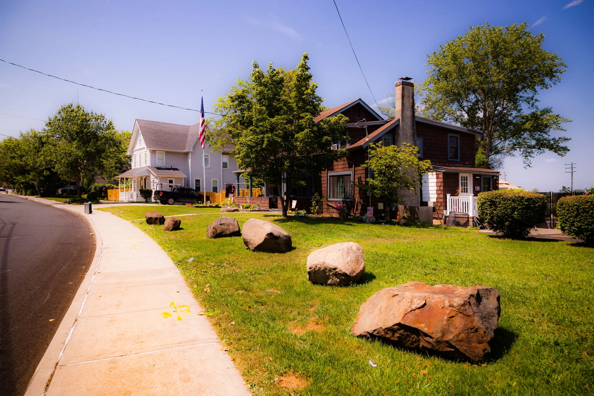
In the early 20th century, Richmond Valley retained its rural and maritime character even as Staten Island’s population grew elsewhere. Amboy Road remained the community’s principal artery, lined with small shops, churches, and the local post office. The Richmond Valley Station served as a focal point of daily life—its platform a gathering place for commuters, farmers, and schoolchildren alike.
The area’s low-lying geography, however, limited large-scale development. Wetlands and creeks dominated the western and southern edges, where Mill Creek meanders through reeds into Raritan Bay. These wetlands were both resource and obstacle: they supported wildlife and provided natural drainage, but also hindered road construction and discouraged dense building. As a result, Richmond Valley remained one of Staten Island’s most sparsely settled neighborhoods well into the mid-20th century.
To the west, the completion of the Outerbridge Crossing (1928) connected Staten Island to New Jersey, bringing new accessibility but also the first signs of suburban encroachment. Yet even then, Richmond Valley’s quiet topography—part farmland, part marsh—preserved its rural identity, distinguishing it from more heavily developed South Shore communities.
Neighborhood Video Coming Soon
Mid–Late 20th Century: Suburban Growth and Conservation
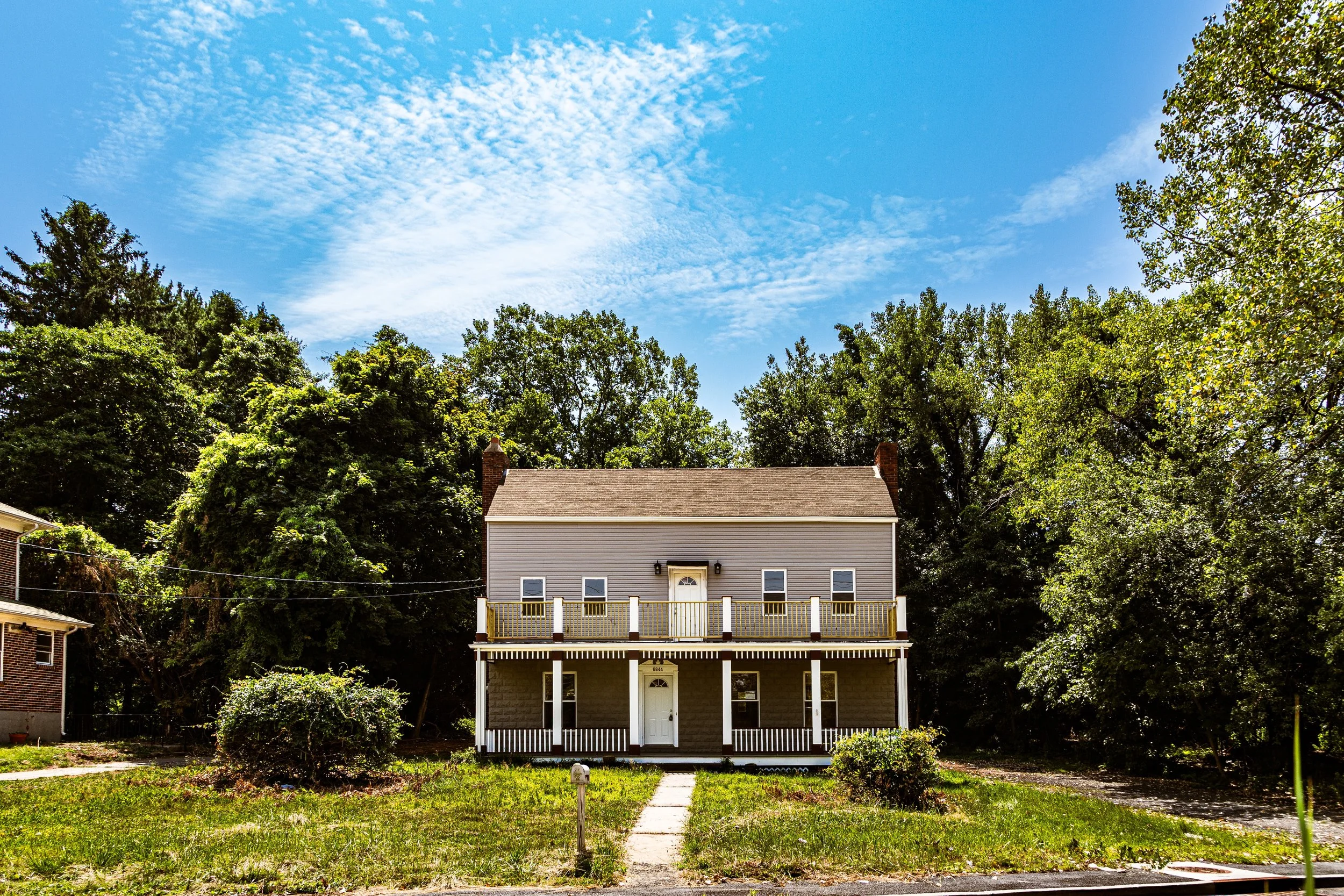
The post–World War II era brought profound change. Staten Island’s transformation into a commuter suburb following the Verrazzano-Narrows Bridge (1964) reached even Richmond Valley, though more slowly and selectively than elsewhere. The opening of the Korean War Veterans Parkway and the expansion of Amboy Road encouraged residential construction along higher ground north of the wetlands. Modest single-family homes and small developments appeared near Richard Avenue and Page Avenue, forming quiet cul-de-sacs surrounded by trees.
At the same time, the community experienced the loss of some of its traditional industries. Oyster harvesting and bay fishing had long since declined due to pollution, and much of the surrounding farmland was sold for housing or allowed to revert to meadow. Yet the 1970s and 1980s also saw a growing environmental awareness that helped protect what remained. Local activists and conservationists successfully pushed for the preservation of nearby natural areas, culminating in the creation of the Mount Loretto Unique Area and the protection of the Mill Creek wetlands, both of which buffer Richmond Valley from overdevelopment.
The establishment of parks and conservation zones transformed the neighborhood’s identity once again—from agrarian outpost to suburban refuge. The combination of quiet streets, open vistas, and proximity to the shoreline made Richmond Valley an appealing alternative for those seeking tranquility within city limits.
21st Century: Quiet Continuity on the Bay
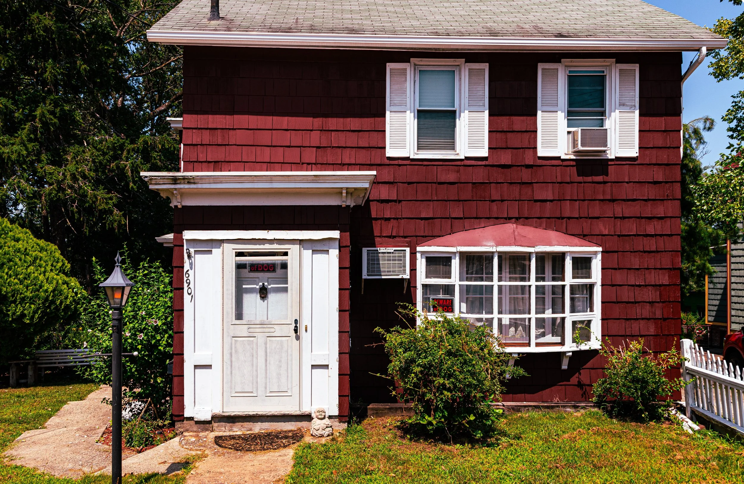
In the 21st century, Richmond Valley remains one of Staten Island’s most secluded and environmentally rich neighborhoods. While suburban development has expanded modestly along Amboy and Richard Avenues, much of the surrounding landscape retains its natural contours: tidal marshes, creeks, and open woodlands alive with herons, egrets, and foxes. The Richmond Valley Station continues to serve commuters on the Staten Island Railway, preserving the rhythm of village life in a borough increasingly defined by cars and highways.
Residentially, the area consists mostly of detached homes on generous lots, reflecting a balance between suburban living and ecological sensitivity. Efforts by the New York State Department of Environmental Conservation and local civic groups have further strengthened wetland protections and promoted habitat restoration along Mill Creek and the Raritan Bay shoreline.
Community identity in Richmond Valley is deeply tied to its landscape. Residents value the neighborhood’s quiet isolation, its small-town feel, and its access to both natural beauty and modern infrastructure. Nearby shopping districts in Charleston and Pleasant Plains provide amenities without disturbing the peace of the bayfront streets. The neighborhood’s relative obscurity—tucked between parkland, waterways, and highways—has become its greatest strength: a pocket of calm at the city’s southern edge.
Richmond Valley Photo Gallery
Spirit and Legacy
The spirit of Richmond Valley lies in its endurance and its equilibrium. It has persisted through centuries of change—colonial farming, maritime trade, suburban expansion—without losing its essential rhythm of quiet coexistence with nature. Its legacy is written not in monuments or industry but in landscape: in the curve of Mill Creek, the salt grass along the bay, and the stillness that settles over the marsh at dusk.
It is a place that feels removed from the metropolis yet integral to its story—a final echo of the rural Staten Island that once was, preserved within the boundaries of the modern city. The people who call Richmond Valley home share a sense of stewardship born of proximity to the water and the land’s fragility.
New York City
Use this custom Google map to explore where every neighborhood in all five boroughs of New York City is located.
The Five Boroughs
One of New York City’s unique qualities is its organization in to 5 boroughs: Manhattan, Brooklyn, Queens, The Bronx, and Staten Island. These boroughs are part pragmatic administrative districts, and part vestiges of the region’s past. Each borough is an entire county in New York State - in fact, Brooklyn is, officially, Kings County, while Staten Island is, officially Richmond County. But that’s not the whole story …
Initially, New York City was located on the southern tip of Manhattan (now the Financial District) that was once the Dutch colony of New Amsterdam. Across the East River, another city was rising: Brooklyn. In time, the city planners realized that unification between the rapidly rising cities would create commercial and industrial opportunities - through streamlined administration of the region.
So powerful was the pull of unification between New York and Brooklyn that three more counties were pulled into the unification: The Bronx, Queens, and Staten Island. And on January 1, 1898, the City of New York unified two cities and three counties into one Greater City of New York - containing the five boroughs we know today.
But because each borough developed differently and distinctly until unification, their neighborhoods likewise uniquely developed. Today, there are nearly 390 neighborhoods, each with their own histories, cultures, cuisines, and personalities - and each with residents who are fiercely proud of their corner of The Big Apple.


