ROSEDALE
Queens
Geographic Setting
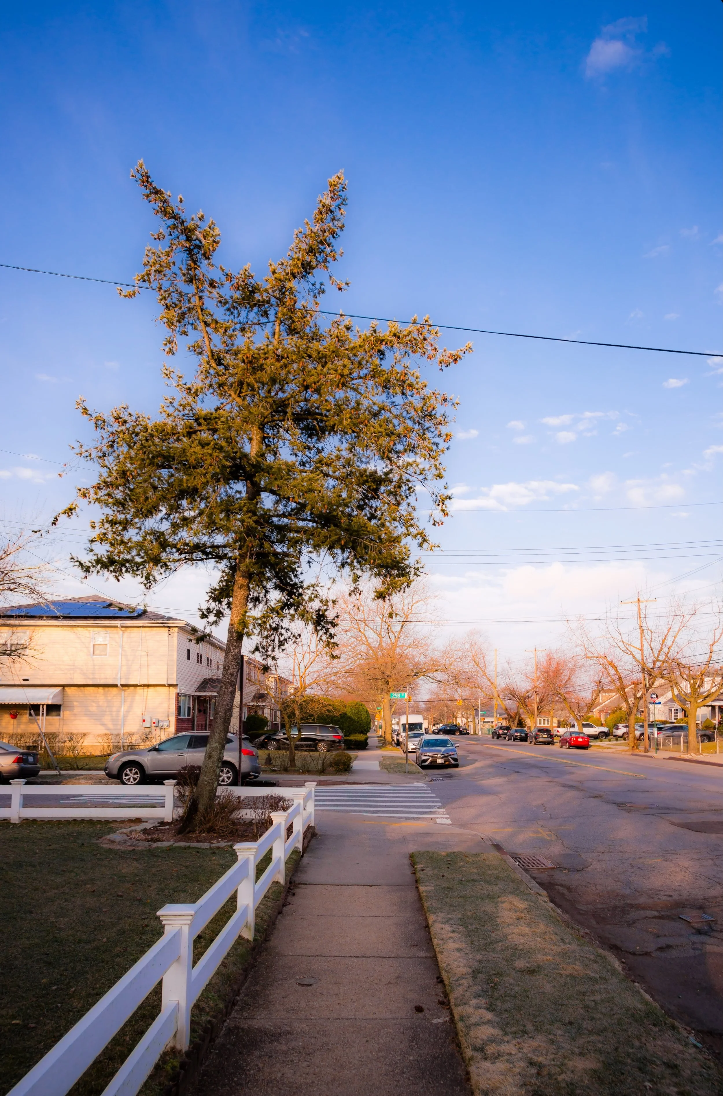
At the southeasternmost edge of New York City, Rosedale forms a tranquil borderland where Queens meets Nassau County and the great coastal plain of Long Island begins. The neighborhood is bounded by Springfield Boulevard to the west, Hook Creek and Francis Lewis Boulevard to the east, Merrick Boulevard to the north, and the Belt Parkway and Conduit Avenue to the south. This strategic location—just north of the JFK Airport perimeter—places Rosedale at the intersection of city and suburb, with its tree-lined streets, detached homes, and backyard gardens echoing the suburban landscapes beyond the city line.
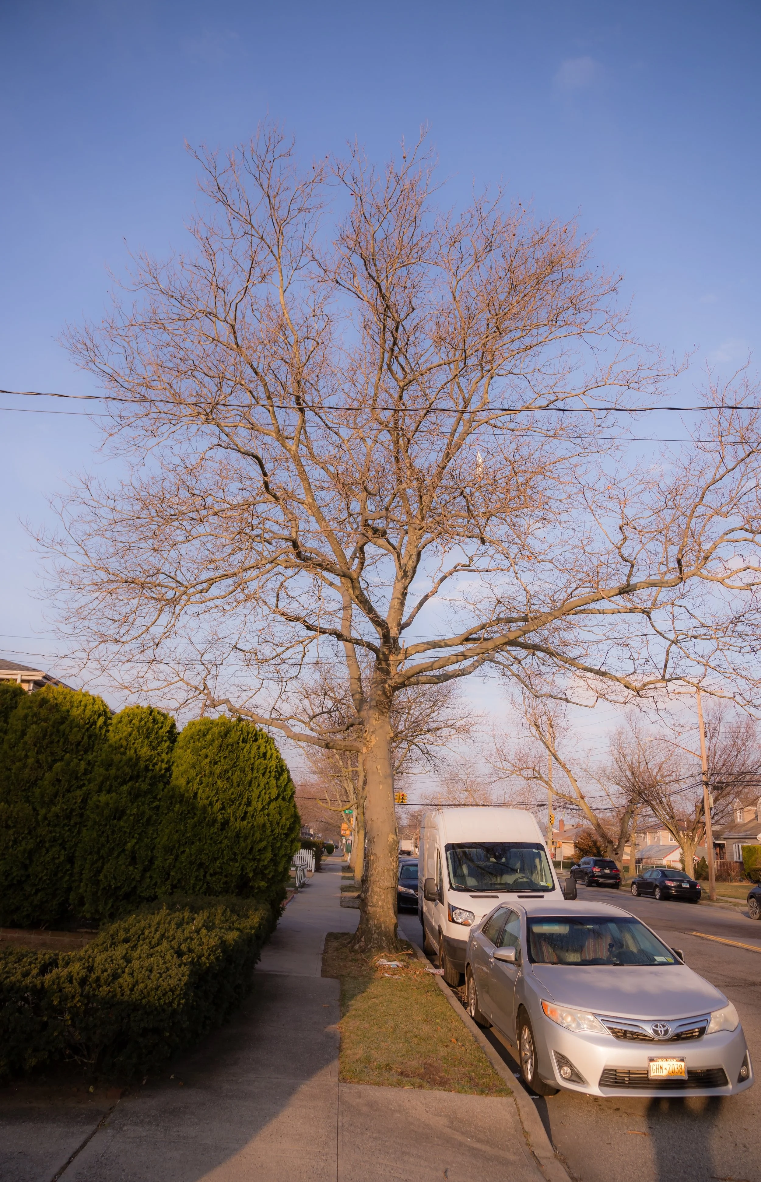
The terrain is low-lying and dotted with creeks, ponds, and preserved wetlands that drain toward Jamaica Bay and Hook Creek Park. Residential life clusters around Brookville Boulevard, 147th Avenue, and 225th Street, where postwar ranches and Cape Cod–style homes sit neatly along quiet blocks. Local commerce thrives along Merrick Boulevard and Hook Creek Boulevard, while the LIRR’s Rosedale Station, at Brookville Boulevard and North Conduit Avenue, connects the neighborhood directly to Manhattan and the South Shore. Green spaces—Brookville Park, Baisley Pond Park, and Montbellier Park—frame the district in natural calm.
Etymology and Origins
Rosedale’s name, officially adopted in 1892, reflects both its geography and its aspirations. Early settlers, impressed by the profusion of wild roses that once covered the meadows and hedgerows of this rural corner, christened it “Rosedale” as the area transitioned from farmland to residential subdivision. Before this, the district was known as Foster’s Meadow, named for Christopher Foster, a 17th-century English settler who established one of the earliest farms in the vicinity.
The transformation from meadows to modern neighborhood took nearly two centuries. Through the 18th and 19th centuries, the land was dominated by dairy farms and nurseries, crisscrossed by narrow lanes leading to Jamaica, Valley Stream, and Springfield Gardens. The arrival of the South Side Railroad (1867) and its Foster’s Meadow Station laid the groundwork for suburbanization, linking these rural tracts to the growing metropolis.
The Neighborhood
Late 19th–Early 20th Century: The Suburban Dream Takes Root
When the Long Island Rail Road absorbed the South Side line in the late 1800s, developers seized the opportunity to market Rosedale as a pastoral retreat within reach of Brooklyn and Manhattan. Brochures promised “pure air and fertile soil,” drawing middle-class families who built cottages and small estates amid remaining farmland. Streets such as Francis Lewis Boulevard, 147th Avenue, and Brookville Boulevard trace their origins to these early subdivisions.
By the 1910s and 1920s, Rosedale had begun to resemble a classic Long Island suburb. Frame houses with porches and gardens lined its new streets, while the Rosedale Civic Association, founded in 1922, lobbied for paved roads, schools, and improved drainage. Churches such as Christ Evangelical Lutheran (1916) and St. Clare’s Roman Catholic (1929) became community anchors. The nearby Springfield Gardens and Laurelton neighborhoods followed parallel trajectories, forming a triad of stable, low-density communities along the city’s edge.
Mid-20th Century: Postwar Prosperity and Stability
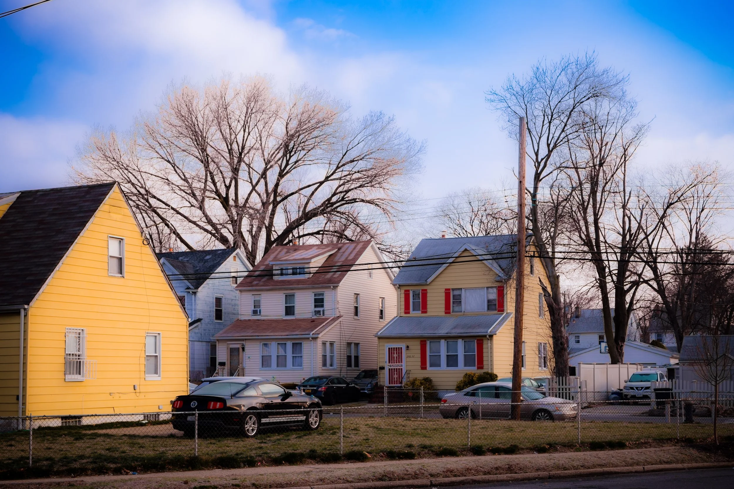
The post–World War II boom cemented Rosedale’s identity as a quintessential outer-borough suburb. Developers replaced remaining farms with rows of detached single-family homes—ranches, Cape Cods, and split-levels—with lawns, garages, and driveways. The G.I. Bill and the expansion of the Belt Parkway (completed 1940) made homeownership attainable for returning veterans, many of whom worked as police officers, teachers, and city employees.
By the 1950s and 1960s, Rosedale was a symbol of upward mobility. Its tidy streets, good schools, and civic cohesion made it one of Queens’ most desirable residential areas. Block associations organized parades and barbecues; the Rosedale Little League and Girl Scouts filled weekends with activity. The neighborhood’s demographic at mid-century was largely Irish, Italian, and Jewish, sharing a strong ethic of homeownership and neighborhood pride.
Rosedale Photographic Video
Late 20th Century: Change, Challenge, and Renewal
During the 1970s, Rosedale experienced the same demographic shifts that transformed much of southeastern Queens. As white families moved eastward into Nassau County, Black and Caribbean families—many from Brooklyn, Harlem, and the West Indies—purchased homes and brought new life to the community. This transition, though initially marked by tensions, ultimately reaffirmed Rosedale’s tradition of stability through civic engagement.
The Rosedale Civic Association, founded decades earlier, continued to serve as the neighborhood’s unifying institution, addressing concerns about flooding, school quality, and property maintenance. Churches and cultural organizations such as the Rosedale United Methodist Church, St. Clare’s Parish, and local Caribbean community centers became engines of social cohesion.
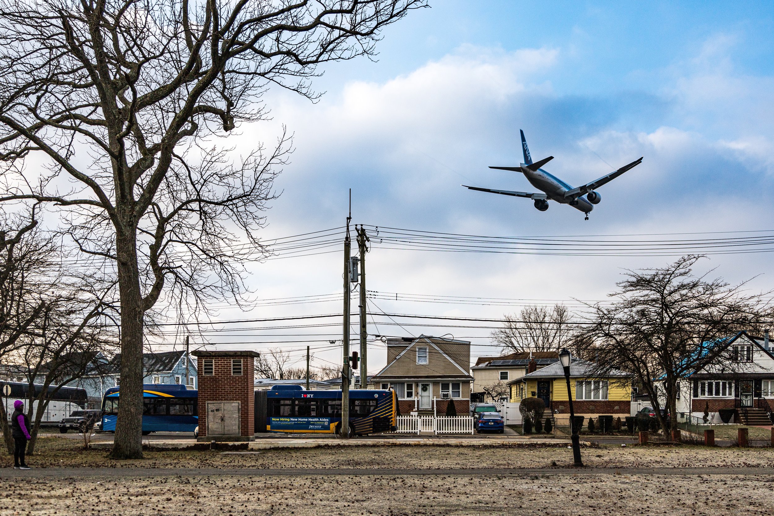
Despite its adjacency to JFK Airport and the flight paths overhead, Rosedale maintained its suburban calm. The sound of jets became part of its identity—a reminder of both proximity to global movement and rooted local life. Its large proportion of homeowners helped buffer the area from urban disinvestment, and by the 1980s, Rosedale had reemerged as a middle-class success story within a changing city.
21st Century: Diversity and Enduring Suburban Identity
In the 21st century, Rosedale stands as one of Queens’ most quietly diverse and stable communities. Its population includes families of Caribbean, African American, Ghanaian, Haitian, Filipino, and South Asian descent, alongside long-term residents whose families arrived generations earlier. The shared pride of homeownership and neighborhood order transcends ethnicity and faith.
Recent years have brought infrastructure improvements—upgraded drainage systems to combat flooding, renovated playgrounds in Brookville Park, and beautification projects led by the Rosedale Civic Association and local youth groups. The LIRR station, rebuilt in 2019, now stands as a modern gateway, while new small businesses and restaurants along Merrick Boulevard cater to the area’s multicultural tastes. Despite modest commercial growth, Rosedale remains primarily residential—a landscape of porches, gardens, and backyard gatherings that embody the American suburban ideal within New York City’s borders.
Its location near JFK Airport continues to shape local life: many residents work in aviation and logistics, while the neighborhood’s accessibility makes it a preferred home for professionals seeking both tranquility and connectivity.
Rosedale Photo Gallery
Spirit and Legacy
Rosedale’s enduring legacy is one of adaptation without disruption—a community that has changed faces but not values. It is a neighborhood defined by pride of place, collective responsibility, and the pursuit of a peaceful life amid a vast metropolis. Its streets, lined with flowering trees and well-kept homes, still reflect the promise that drew families here more than a century ago: room to grow, space to breathe, and the quiet satisfaction of belonging.
New York City
Use this custom Google map to explore where every neighborhood in all five boroughs of New York City is located.
The Five Boroughs
One of New York City’s unique qualities is its organization in to 5 boroughs: Manhattan, Brooklyn, Queens, The Bronx, and Staten Island. These boroughs are part pragmatic administrative districts, and part vestiges of the region’s past. Each borough is an entire county in New York State - in fact, Brooklyn is, officially, Kings County, while Staten Island is, officially Richmond County. But that’s not the whole story …
Initially, New York City was located on the southern tip of Manhattan (now the Financial District) that was once the Dutch colony of New Amsterdam. Across the East River, another city was rising: Brooklyn. In time, the city planners realized that unification between the rapidly rising cities would create commercial and industrial opportunities - through streamlined administration of the region.
So powerful was the pull of unification between New York and Brooklyn that three more counties were pulled into the unification: The Bronx, Queens, and Staten Island. And on January 1, 1898, the City of New York unified two cities and three counties into one Greater City of New York - containing the five boroughs we know today.
But because each borough developed differently and distinctly until unification, their neighborhoods likewise uniquely developed. Today, there are nearly 390 neighborhoods, each with their own histories, cultures, cuisines, and personalities - and each with residents who are fiercely proud of their corner of The Big Apple.


