
SOUTH OZONE PARK
Queens
Geographic Setting
Bounded by Linden Boulevard to the north, the Van Wyck Expressway (curving southeast to Rockaway Boulevard and 150th Street) to the east, the Belt Parkway to the south, and Aqueduct Road to the west, South Ozone Park occupies the southwestern expanse of central Queens—a wide, low-lying district shaped by its close proximity to John F. Kennedy International Airport, Aqueduct Racetrack, and the historic transportation corridors that define its borders.
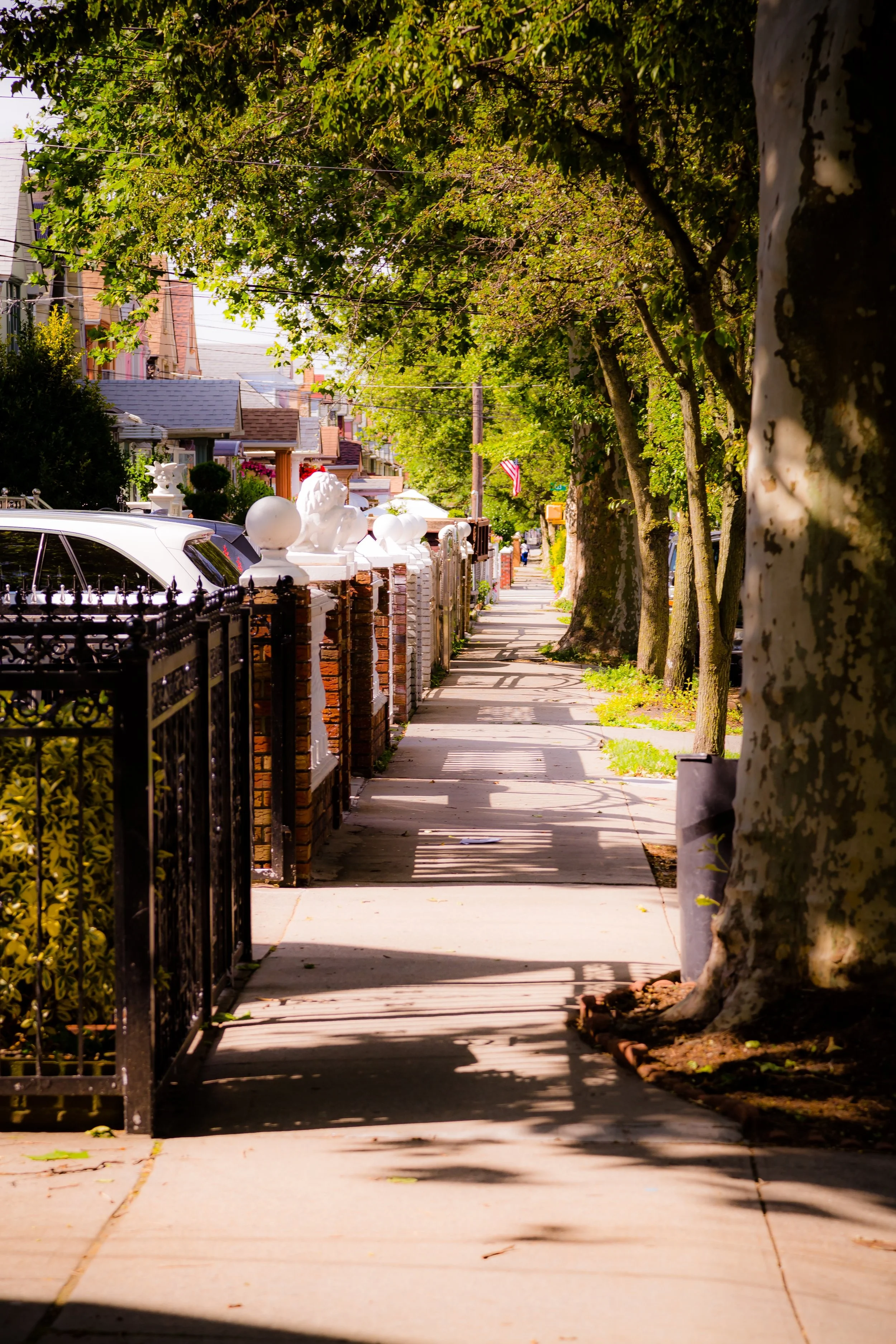
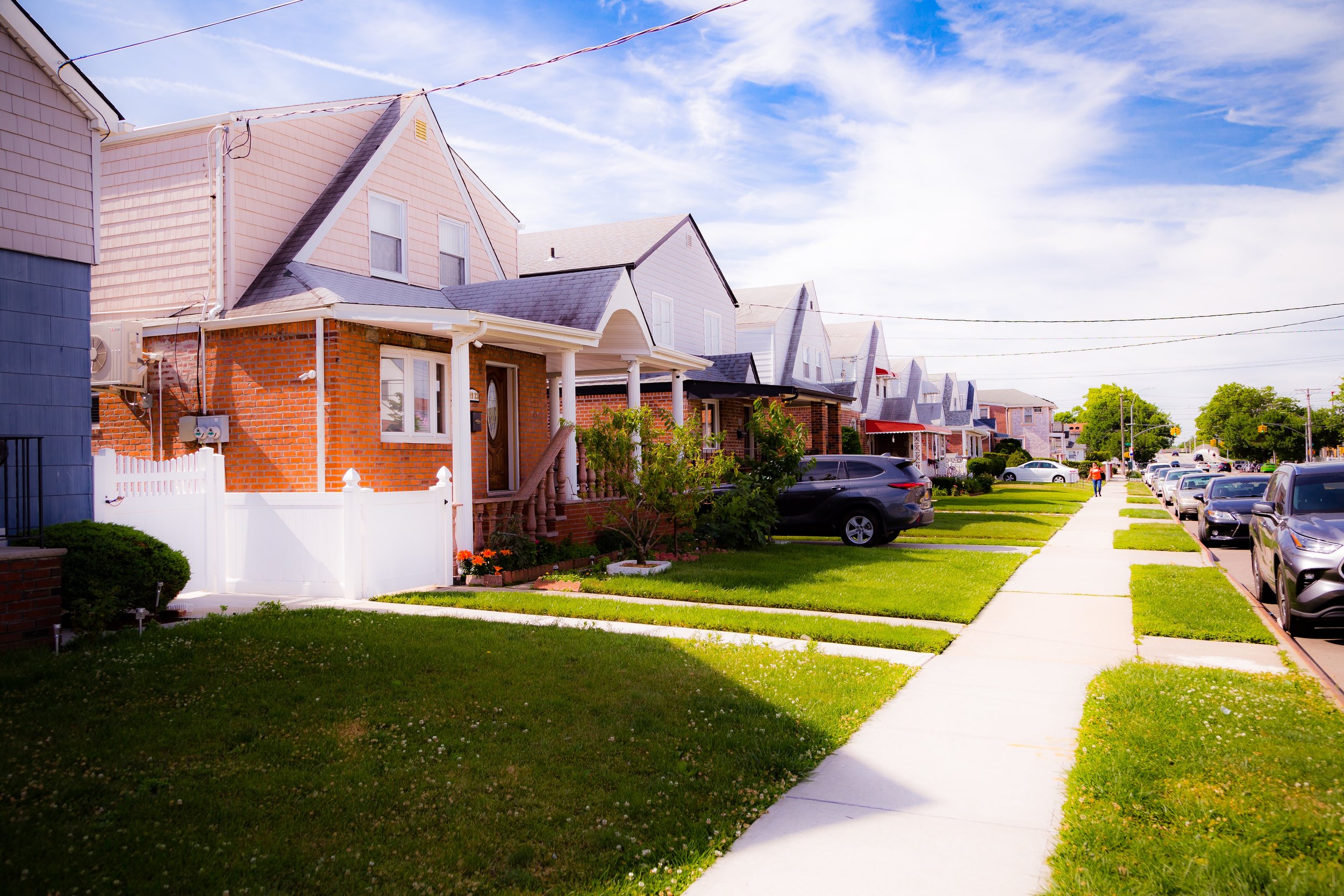
The neighborhood’s layout follows a clean residential grid of detached single-family homes, brick two-story houses, and attached rowhouses, punctuated by small parks, parochial schools, and corner stores. Major thoroughfares such as Rockaway Boulevard, Lefferts Boulevard, and Linden Boulevard serve as its commercial arteries, lined with Caribbean bakeries, Indian groceries, and old New York diners that reflect the area’s rich multicultural identity.
To the south, the Belt Parkway and the JFK airfield create a sharp horizon of motion and sound, while to the north, Linden Boulevard connects South Ozone Park to South Jamaica and Richmond Hill. The neighborhood’s character blends urban accessibility with suburban quiet—a place defined less by landmarks than by its steady rhythm of residential life, where families take pride in their lawns, porches, and local traditions.
Etymology and Origins
The name “Ozone Park” dates to the 1880s, coined by developers Benjamin Hitchcock and Charles Denton, who promoted the area as a healthful retreat “where the ozone of the sea air invigorates.” Originally part of the Town of Jamaica, the land was a mix of farmland, meadows, and sandy tracts stretching toward Jamaica Bay. When the New York, Woodhaven, and Rockaway Railroad opened in 1883, connecting the area to Brooklyn and Manhattan, developers saw an opportunity to market suburban living within easy commuting distance of the city.
“South Ozone Park” emerged in the early 20th century as development extended beyond the older Ozone Park section near Liberty Avenue. Builders subdivided land south of Rockaway Boulevard into tidy residential blocks, and by the 1920s the neighborhood was largely built out with one- and two-family homes in Colonial Revival and brick Tudor styles. The “South” prefix distinguished the newer section, positioned closer to Jamaica Bay and, later, to Idlewild Airport (renamed John F. Kennedy Airport in 1963).
The Neighborhood
Early 20th Century: A Suburban Enclave in the Making
By the 1910s–1930s, South Ozone Park had become a stable, working- and middle-class neighborhood of homeowners—many of them Italian, Irish, and Jewish families moving outward from Brooklyn in search of space and ownership. The construction of Rockaway Boulevard, the Aqueduct Racetrack (opened 1894), and the extension of the IND Fulton Street subway line to nearby Ozone Park in 1915 all cemented the area’s accessibility and appeal.
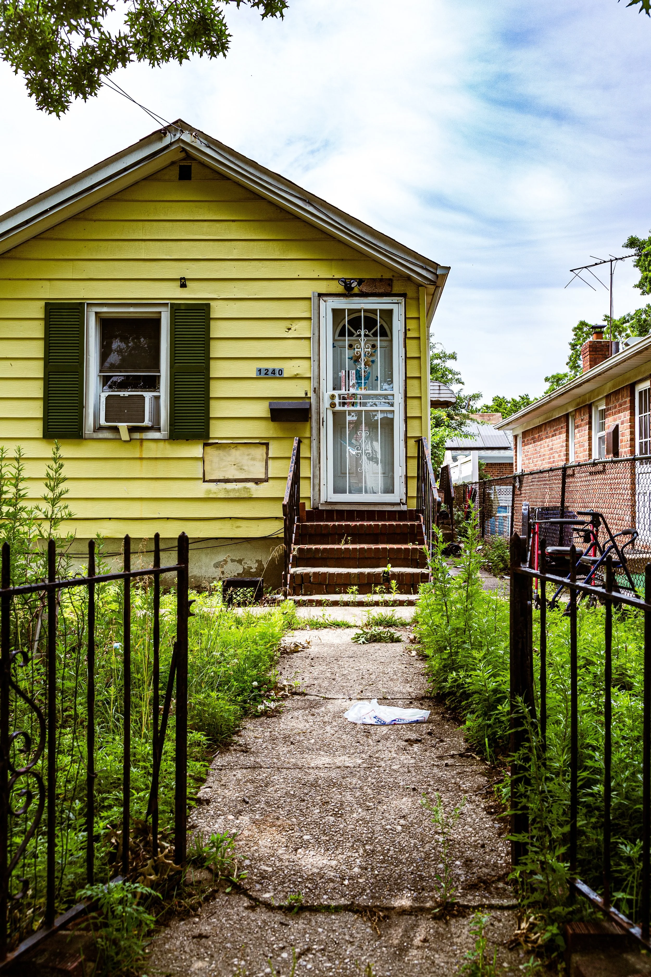
Homes were typically modest but well-built, featuring small gardens and stoops that reflected the suburban ideal promoted by Queens developers in the interwar years. The community’s early life centered around churches such as St. Clement Pope Roman Catholic Church (founded 1907) and local schools like P.S. 108 Captain Vincent G. Fowler, both of which remain fixtures today.
During this period, Aqueduct Racetrack became the neighborhood’s defining landmark. As one of New York’s premier horse racing venues, it attracted seasonal visitors, local jobs, and a lively mix of commerce along Aqueduct Road and Lefferts Boulevard.
Mid-20th Century: Postwar Prosperity and Transformation
The post–World War II era brought new growth and change to South Ozone Park. Returning veterans and young families found affordable homes here, and the construction of the Belt Parkway (1940) and Van Wyck Expressway (1950) further integrated the neighborhood into the metropolitan highway system. The opening and subsequent expansion of Idlewild (JFK) Airport just to the southeast brought both opportunity and disruption: local residents found employment in aviation and hospitality, but also contended with aircraft noise and increased traffic.
By the 1950s–1960s, the area’s demographic landscape began to shift. Italian- and Jewish-American families gradually moved eastward to Nassau County, while new residents from the Caribbean, South Asia, and Latin America made South Ozone Park their home. The neighborhood’s identity evolved into one of vibrant multiculturalism, where Trinidadian, Guyanese, Punjabi, and Dominican communities—among others—reshaped the social and commercial fabric.
The South Ozone Park Civic Association, founded mid-century, played a key role in maintaining property values, safety, and neighborhood stability. Local delis and bakeries gave way to roti shops, sari boutiques, and halal markets, yet the community’s hallmark—a strong sense of local ownership and neighborly pride—remained constant.
South Ozone Park Video Coming Soon
Late 20th Century: Cultural Consolidation and Challenges
Through the 1970s–1990s, South Ozone Park mirrored the broader story of Queens: enduring citywide fiscal challenges while quietly thriving through the resilience of its immigrant population. The neighborhood avoided the sharp declines experienced elsewhere in the city, thanks largely to its high homeownership rate and stable family structures.
During this time, Caribbean and Indo-Caribbean families from Guyana and Trinidad became the neighborhood’s largest demographic group, founding temples, churches, and cultural organizations that gave the area its distinct flavor. Liberty Avenue, just north of South Ozone Park’s border, emerged as a regional hub for Caribbean culture—filled with roti shops, reggae record stores, and sari vendors—while South Ozone Park itself retained a more residential, family-oriented tone.
The Aqueduct Racetrack, after decades of decline, underwent modernization in the 1980s and 1990s, culminating in its transformation into the Resorts World Casino (2011)—the city’s first legal casino. Though controversial at first, the casino complex brought jobs, tax revenue, and new commercial energy to the area.
21st Century: Diversity, Development, and Continuity
In the 21st century, South Ozone Park remains one of Queens’ most diverse and stable working-class neighborhoods. Its population is a mosaic of Indo-Caribbean, Caribbean, South Asian, Latino, and African-American families, reflecting the borough’s global composition. Many residents are first- or second-generation immigrants who see the neighborhood as both a foothold in New York and a space of continuity with their cultural roots.
Rockaway Boulevard and Lefferts Boulevard bustle with small businesses—Trinidadian bakeries beside Indian jewelry shops, halal restaurants next to Dominican barbershops—while the quieter side streets maintain the rhythm of residential life. Community life centers on churches, temples, and mosques such as Shree Ram Mandir, St. Clement Pope Church, and Masjid Al-Abidin, as well as civic associations that continue to advocate for zoning stability and airport noise mitigation.
Recent years have seen incremental development—new multi-family homes, retail expansions, and the continuing influence of Resorts World—but South Ozone Park remains defined more by preservation than reinvention. The sense of belonging, cultivated over generations, remains palpable on every block: residents sweep their sidewalks, children play in front yards, and families gather for backyard barbecues or Diwali lights.
South Ozone Park Photo Gallery
Spirit and Legacy
The spirit of South Ozone Park is grounded in homeownership, heritage, and hard work. It is a neighborhood that has absorbed waves of change without surrendering its essential character—a place where families of every background have found stability and opportunity within sight of runways and racetracks.
New York City
Use this custom Google map to explore where every neighborhood in all five boroughs of New York City is located.
The Five Boroughs
One of New York City’s unique qualities is its organization in to 5 boroughs: Manhattan, Brooklyn, Queens, The Bronx, and Staten Island. These boroughs are part pragmatic administrative districts, and part vestiges of the region’s past. Each borough is an entire county in New York State - in fact, Brooklyn is, officially, Kings County, while Staten Island is, officially Richmond County. But that’s not the whole story …
Initially, New York City was located on the southern tip of Manhattan (now the Financial District) that was once the Dutch colony of New Amsterdam. Across the East River, another city was rising: Brooklyn. In time, the city planners realized that unification between the rapidly rising cities would create commercial and industrial opportunities - through streamlined administration of the region.
So powerful was the pull of unification between New York and Brooklyn that three more counties were pulled into the unification: The Bronx, Queens, and Staten Island. And on January 1, 1898, the City of New York unified two cities and three counties into one Greater City of New York - containing the five boroughs we know today.
But because each borough developed differently and distinctly until unification, their neighborhoods likewise uniquely developed. Today, there are nearly 390 neighborhoods, each with their own histories, cultures, cuisines, and personalities - and each with residents who are fiercely proud of their corner of The Big Apple.


