
WESTCHESTER SQUARE
The Bronx
Geographic Setting
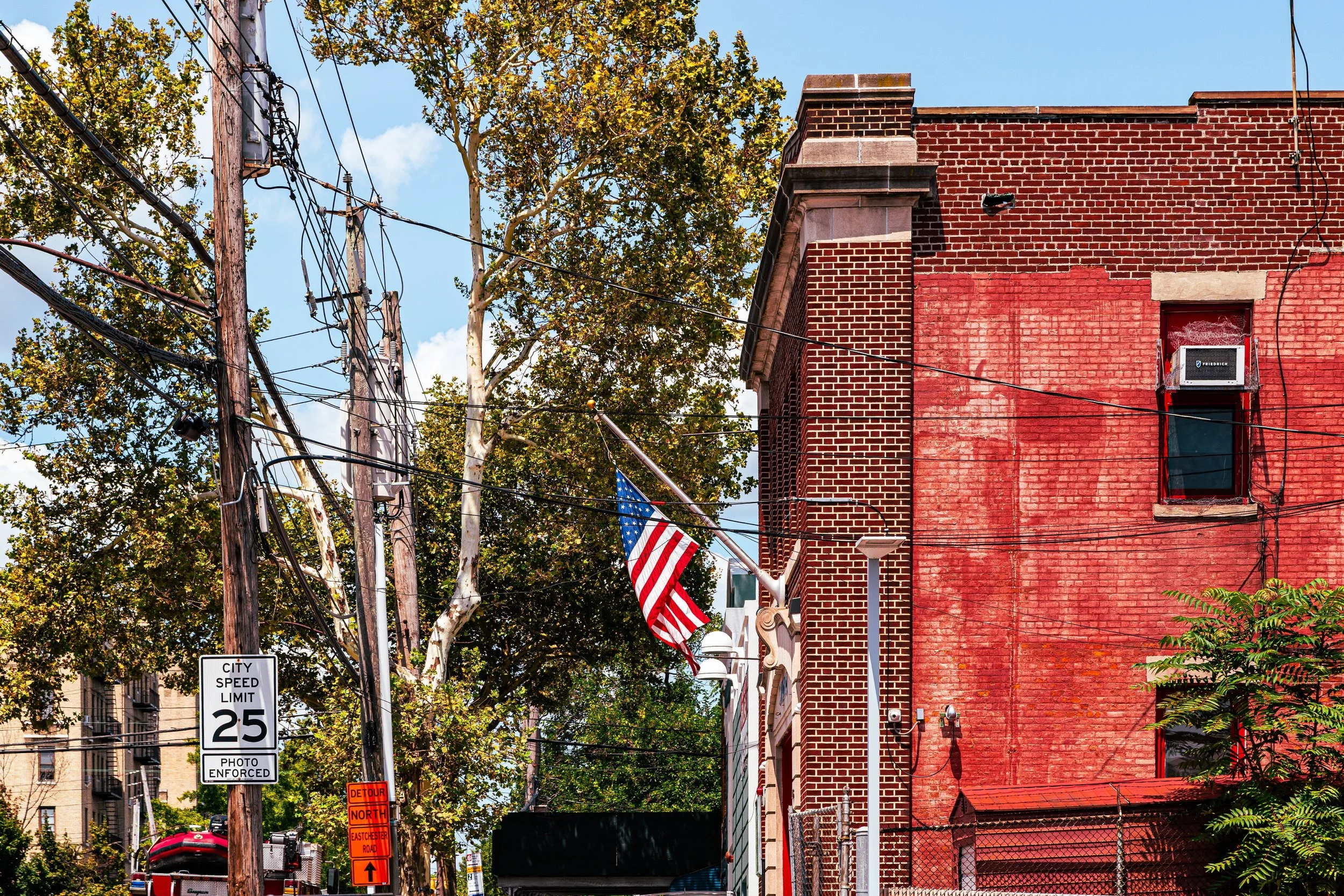
Bounded by Westchester Creek to the east, Waterbury Avenue to the south, Castle Hill Avenue to the west, and the Amtrak and MTA rail lines to the north, Westchester Square lies at the crossroads of the eastern Bronx—a historic and enduring commercial and civic hub that has served as the heart of this region for nearly four centuries. The neighborhood centers on the lively intersection of Westchester Avenue, East Tremont Avenue, and Williamsbridge Road, where shops, restaurants, medical offices, and transit converge in a pattern that traces its colonial roots.
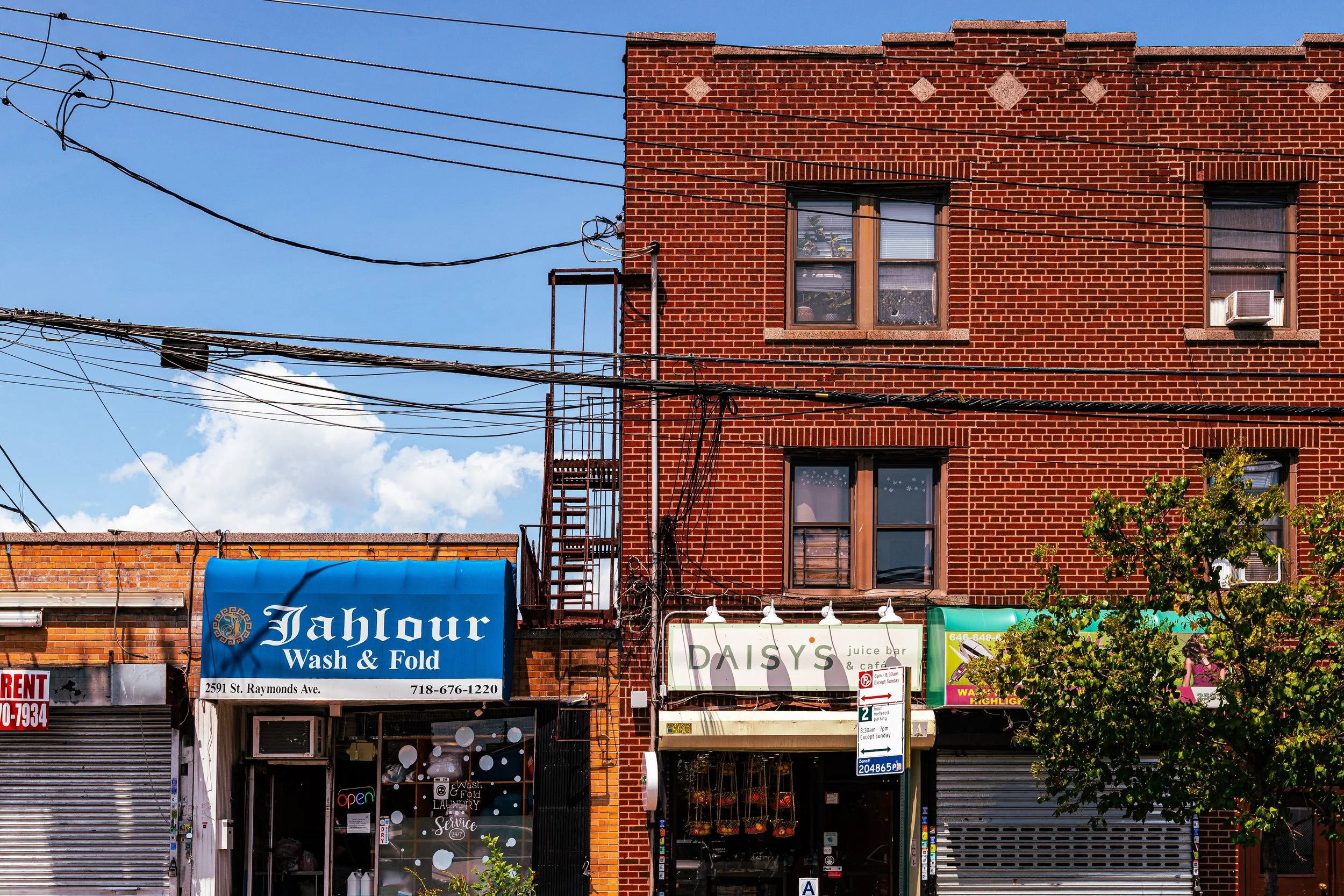
To the east, Westchester Creek forms a tidal boundary that once defined the original village port; to the west, Castle Hill Avenue leads toward the inland neighborhoods of Parkchester and Unionport. East Tremont Avenue and Westchester Avenue, lined with 20th-century storefronts and apartment houses, remain the district’s primary arteries, while smaller side streets—Overing Street, St. Raymond Avenue, and Robinson Avenue—retain the texture of an older Bronx: modest brick rowhouses, corner delis, and family-owned businesses.
The 6 train’s Westchester Square–East Tremont Avenue station anchors the neighborhood as both a transit gateway and a community landmark, linking the district to Manhattan and the Bronx’s central corridors. Flanked by St. Raymond’s Church and the historic grid of the former Village of Westchester, this neighborhood remains, in spirit and geography, a meeting ground between past and present.
Etymology
The name “Westchester Square” preserves the identity of the original Village of Westchester, founded in the 17th century as one of the Bronx’s earliest European settlements. The “square” refers to the village’s central marketplace and civic plaza—today’s intersection of Westchester and East Tremont Avenues—around which homes, shops, and churches once clustered.
Derived from Chester, a term for a fortified town, the name “Westchester” echoed English roots and signified both permanence and respectability. The surrounding area, first settled under the Dutch and later reorganized under English authority, became a locus of governance, trade, and communication for the region north of Manhattan. Though annexed into New York City in 1895, the old name and layout survived, ensuring that the term Westchester Square continues to evoke its long lineage as the Bronx’s colonial heart.
The Neighborhood
Origins through the 19th Century
Westchester Square’s history reaches back to 1654, when English settlers led by Thomas Pell negotiated a land purchase from the local Siwanoy Lenape people. Within a decade, a small agricultural community known as the Village of Westchester arose near the head of the creek, chosen for its fertile soil, navigable waterway, and defensible position. The village quickly became the seat of local government for the Town of Westchester, one of several autonomous townships that predated the Bronx’s incorporation into New York City.
Throughout the 18th century, Westchester prospered as a river port and trading post. Sloops and barges carried goods along Westchester Creek to the East River, connecting farmers and millers to the broader colonial economy. The Revolutionary War left its mark here: Westchester’s strategic location placed it between British-occupied Manhattan and patriot strongholds in the Hudson Highlands, resulting in raids and counter-raids that devastated much of the countryside.
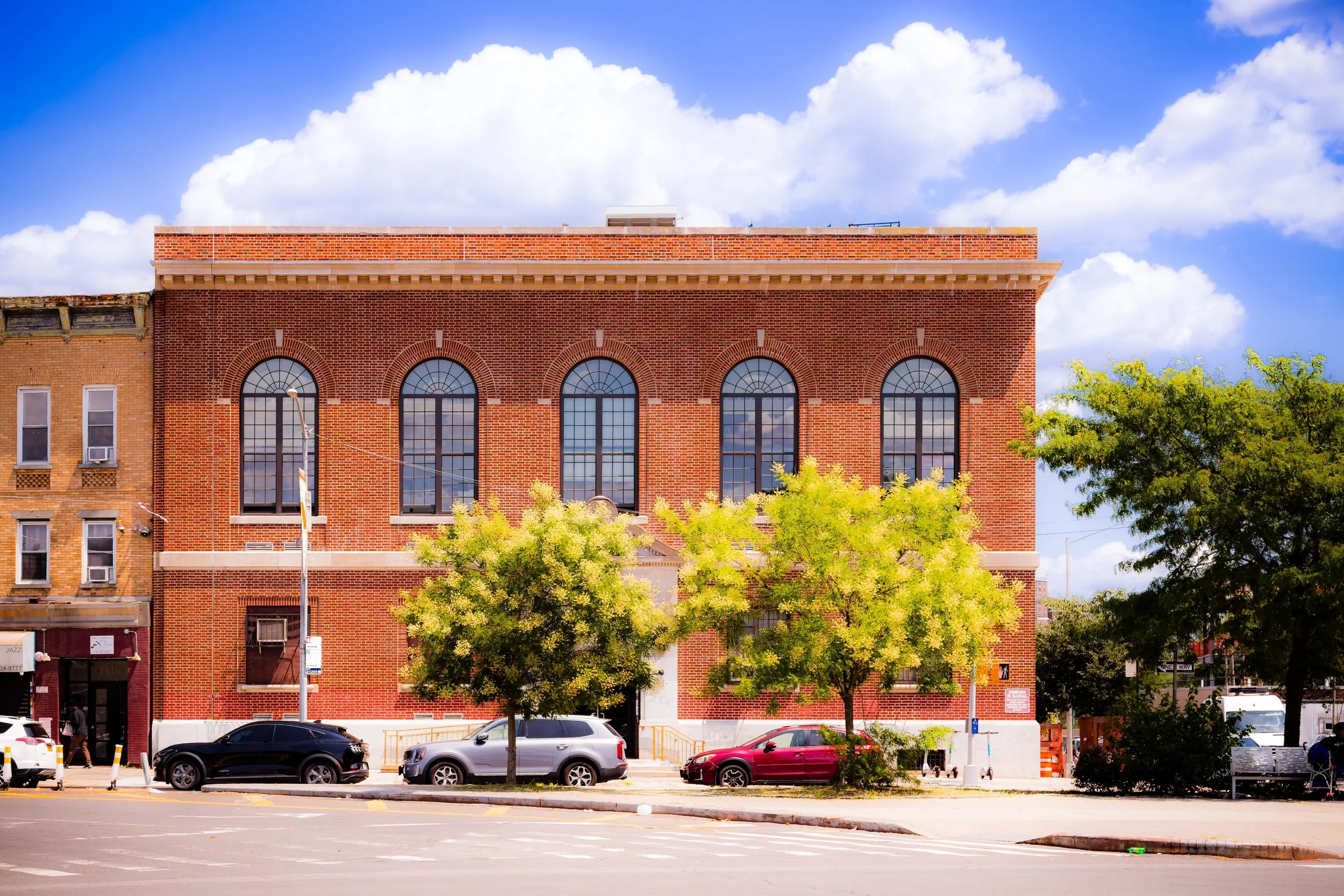
By the early 19th century, the area recovered and flourished anew. The village center, now Westchester Square, hosted taverns, general stores, and the town hall, while surrounding farmland produced vegetables, grain, and dairy for New York markets. The construction of St. Peter’s Episcopal Church (1855)—built on a site of earlier worship dating to 1700—solidified the area’s role as both spiritual and civic center. When annexed to the City of New York in 1895, the old town’s identity became a neighborhood name, its colonial street plan still visible amid the emerging urban grid.
Early 20th Century: Transit, Commerce, and Civic Growth
The early 20th century transformed Westchester Square from a quiet village into a bustling urban node. The extension of the IRT Pelham Line (6 train) to Westchester Square in 1920 placed the neighborhood at the forefront of Bronx expansion, linking it directly to Manhattan and making it a magnet for residential and commercial development.
Apartment buildings rose along Overing Street, St. Raymond Avenue, and Herschell Street, while the old village lanes were widened into modern thoroughfares. The intersection of Westchester Avenue and East Tremont Avenue became a true square—an open plaza where trolleys once turned and crowds gathered. Shops, banks, and cinemas soon followed, making the district a vibrant retail center serving the surrounding neighborhoods of Castle Hill, Unionport, and Pelham Bay.
Religious and educational institutions flourished as well. St. Raymond’s Church, founded in 1842 and rebuilt in grand Romanesque style in 1898, became a spiritual anchor for the area’s growing Irish and Italian immigrant population. The adjoining St. Raymond’s Cemetery, extending south toward Lafayette Avenue, became one of the Bronx’s largest and most notable burial grounds—its marble monuments and tree-lined avenues reflecting the area’s deep Catholic heritage.
By the 1930s, Westchester Square was firmly established as the eastern Bronx’s civic heart, home to medical offices, professional services, and neighborhood associations.
Neighborhood Video Coming Soon
Mid–Late 20th Century: Community Through Change
The mid-20th century brought both change and continuity. As postwar suburbanization drew some families northward, Westchester Square’s commercial vitality persisted, sustained by the subway, bus routes, and nearby employment centers. The surrounding neighborhoods diversified, welcoming Puerto Rican, Italian-American, and later Dominican and Irish families, who together defined the community’s working- and middle-class character.
During the 1960s–1970s, as parts of the Bronx struggled with arson, abandonment, and disinvestment, Westchester Square endured. Its strong transit connections, mixed-use buildings, and active merchants’ associations helped preserve stability. Landmarks like the Square Theater and long-running family businesses fostered a sense of continuity, even as new immigrant entrepreneurs revitalized storefronts and introduced Latin American and Caribbean cuisine to the local palate.
Civic organizations—such as the Westchester Square Business Improvement District (BID)—emerged in the 1980s–1990s, championing beautification, safety, and economic development. Despite urban challenges, Westchester Square retained its historic function: a crossroads where the Bronx’s many cultures intersect in commerce, worship, and daily life.
21st Century: Preservation and Renewal
In the 21st century, Westchester Square stands as one of the Bronx’s most active neighborhood centers, balancing heritage and renewal. The BID, in partnership with city agencies, has restored sidewalks, upgraded lighting, and sponsored street fairs that celebrate the community’s multicultural identity. Redevelopment projects have introduced new residential buildings, senior housing, and medical facilities, reinforcing the square’s role as a hub for services and accessibility.
Public transportation remains the district’s lifeblood: the 6 train, multiple bus lines, and proximity to the Bruckner Expressway keep Westchester Square well connected to the rest of the Bronx and beyond. Nearby, St. Raymond’s Cemetery remains a landmark of solemn beauty, while Westchester Creek and adjacent parks have seen environmental reclamation, restoring a sense of waterfront identity that echoes the neighborhood’s colonial origins.
The neighborhood’s population today reflects the Bronx’s diversity: Latino, South Asian, African-American, Italian, and West Indian families coexist within a landscape of schools, churches, bakeries, and bodegas—testament to the Bronx’s ongoing renewal through migration and community building.
Westchester Square Photo Gallery
Spirit and Legacy
The spirit of Westchester Square is that of endurance through adaptation. From its beginnings as a colonial hamlet on a tidal creek to its modern role as a civic and commercial crossroads, the neighborhood has continually reinvented itself while preserving its sense of place.
Its village-like street pattern, historic churches, and enduring marketplace remind residents that this square once served as the administrative heart of a rural township—and that, in spirit, it still does. Today, the sounds of subway trains, church bells, and street vendors merge into a modern Bronx symphony that honors the past while embracing the present.
New York City
Use this custom Google map to explore where every neighborhood in all five boroughs of New York City is located.
The Five Boroughs
One of New York City’s unique qualities is its organization in to 5 boroughs: Manhattan, Brooklyn, Queens, The Bronx, and Staten Island. These boroughs are part pragmatic administrative districts, and part vestiges of the region’s past. Each borough is an entire county in New York State - in fact, Brooklyn is, officially, Kings County, while Staten Island is, officially Richmond County. But that’s not the whole story …
Initially, New York City was located on the southern tip of Manhattan (now the Financial District) that was once the Dutch colony of New Amsterdam. Across the East River, another city was rising: Brooklyn. In time, the city planners realized that unification between the rapidly rising cities would create commercial and industrial opportunities - through streamlined administration of the region.
So powerful was the pull of unification between New York and Brooklyn that three more counties were pulled into the unification: The Bronx, Queens, and Staten Island. And on January 1, 1898, the City of New York unified two cities and three counties into one Greater City of New York - containing the five boroughs we know today.
But because each borough developed differently and distinctly until unification, their neighborhoods likewise uniquely developed. Today, there are nearly 390 neighborhoods, each with their own histories, cultures, cuisines, and personalities - and each with residents who are fiercely proud of their corner of The Big Apple.


