LIGHTHOUSE HILL
Staten Island
Geographic Setting
Bounded by Rockland Avenue to the east, Richmond Road to the south, and the forested expanse of LaTourette Park and Greenbelt to the west and north, Lighthouse Hill rises from Staten Island’s central highlands as one of the borough’s most scenic and storied neighborhoods. It occupies a commanding ridge along the island’s spine, where wooded slopes ascend toward the Staten Island Greenbelt and descend sharply toward the colonial corridor of Richmond Road. From its western overlooks, the land drops toward the meadows and golf course of LaTourette Park, offering views that capture the pastoral heart of Staten Island—rolling hills, ponds, and centuries-old trees that still evoke the island’s rural past.
At its crest stands the Staten Island Range Lighthouse, the structure for which the neighborhood is named. Towering 145 feet above sea level and 90 feet tall itself, the lighthouse is both a navigational beacon and a civic landmark, visible for miles across the harbor. Around it lies a landscape of curving drives, spacious homes, and preserved woodlands—an enclave where history, nature, and architecture intertwine in quiet harmony. Though only minutes from bustling Richmond Avenue and Hylan Boulevard, Lighthouse Hill feels almost pastoral: a wooded sanctuary where Staten Island’s landscape and legacy remain most vividly intact.
Etymology
The name Lighthouse Hill derives directly from the Staten Island Range Lighthouse, erected in 1912 by the U.S. Lighthouse Service as part of the navigational range system guiding ships through the Ambrose Channel into New York Harbor. For decades, locals called the area Richmond Hill or Mount Tompkins, referencing both its geography and early landowners, but the lighthouse soon lent a more distinctive and enduring identity.
The beacon, still operational today, symbolizes both guidance and endurance—fitting metaphors for a neighborhood that stands as one of Staten Island’s highest and most enduringly beautiful elevations. The name also encapsulates the marriage of natural height and human purpose: a hill that watches over the city’s harbor, yet remains rooted in the quiet rhythms of the land beneath it.
The Neighborhood
Origins through the 19th Century
In the 17th and 18th centuries, the land that would become Lighthouse Hill was part of the rural Town of Southfield, an expanse of rolling farmland and forests. Early settlers—Dutch, English, and French Huguenot—established scattered farms along Richmond Road, one of the oldest continuous thoroughfares in New York City. The highlands above were largely wooded and sparsely inhabited, valued for their timber and vantage points rather than agriculture.
By the early 19th century, the area’s natural beauty drew the attention of prominent Staten Islanders. Wealthy merchants and civic leaders acquired hilltop tracts for country estates, seeking respite from the industrializing harbor towns. The construction of LaTourette Farm, now part of LaTourette Park, established a neighboring agricultural landmark, while Richmondtown to the southeast remained the island’s civic and commercial hub.
In 1839, the Staten Island Institute of Arts and Sciences established an observatory on the heights for meteorological study—a testament to the area’s commanding elevation. When the federal government chose the site for a major lighthouse in the early 20th century, it affirmed the hill’s strategic and symbolic prominence. Even then, much of the surrounding land remained forested, crossed by unpaved carriage roads that would later evolve into residential lanes.
Early 20th Century: Beacon and Estates
The defining moment in the neighborhood’s history came with the completion of the Staten Island Range Lighthouse in 1912. Designed by architect Franklin W. Smith, the octagonal brick tower—with its classical base and lantern dome—was constructed 145 feet above sea level to align with the West Bank Lighthouse off Staten Island’s western shore, forming a navigational range for ships entering New York Harbor. The lighthouse’s presence transformed the hill into a landmark both maritime and local.
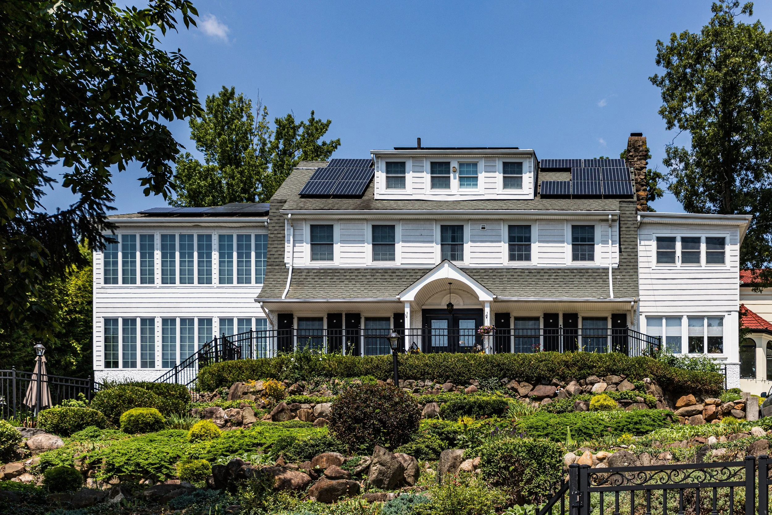
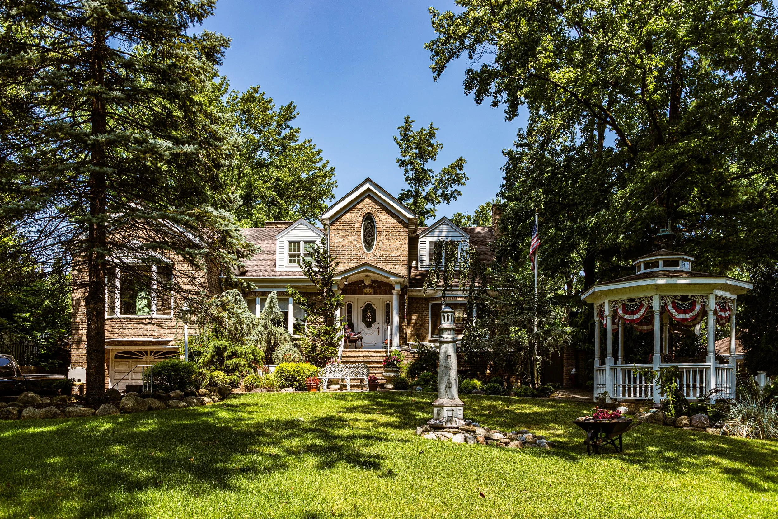
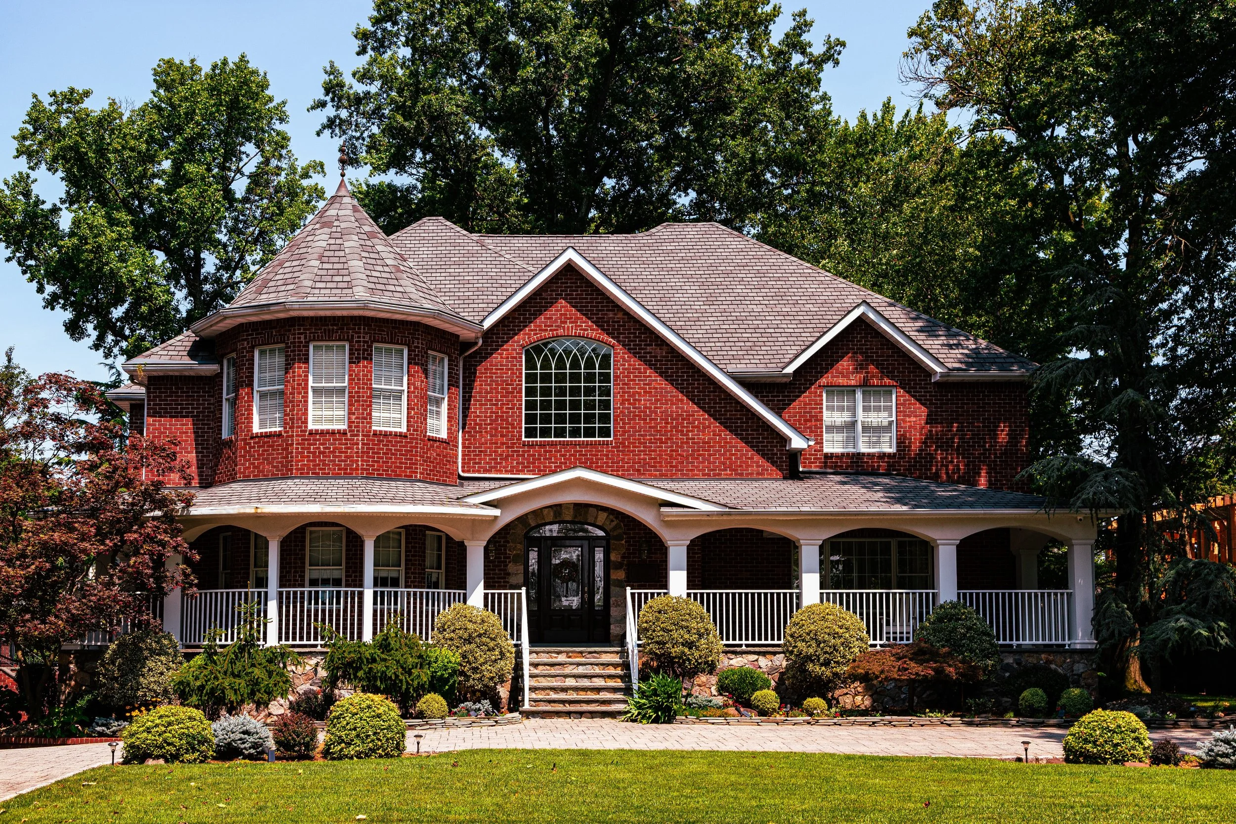
In the decades that followed, Lighthouse Hill attracted an eclectic mix of residents—artists, educators, and professionals—who valued its isolation, views, and proximity to the Staten Island Academy and the cultural institutions of Richmondtown. Large Arts and Crafts, Tudor Revival, and Colonial Revival homes were built along curving roads such as Barton Avenue, Springfield Avenue, and Flagg Place, their architecture harmonizing with the landscape. The hill’s wooded character remained largely intact, protected by the steep terrain and by the surrounding public lands of LaTourette Park and the Staten Island Greenbelt.
By the 1930s, the area had taken on its present identity: a residential enclave defined by its lighthouse, natural beauty, and sense of seclusion—an elevated village within the borough.
Lighthouse Hill Video Coming Soon
Mid–Late 20th Century: Conservation and Continuity
During Staten Island’s postwar suburban expansion, Lighthouse Hill maintained its exclusivity and natural character while surrounding areas underwent rapid transformation. The completion of the Verrazzano-Narrows Bridge (1964) and Staten Island Expressway brought waves of new residents to the island, but Lighthouse Hill’s steep slopes and limited developable land prevented mass construction. The neighborhood’s boundaries, buffered by LaTourette Park and High Rock Park, ensured that it would remain a haven of green space.
The 1960s and 1970s also saw a growing environmental movement that aligned with local sentiment to preserve the area’s wooded beauty. The creation of the Staten Island Greenbelt, encompassing LaTourette and High Rock Parks, placed Lighthouse Hill within the borough’s largest contiguous protected landscape. This designation preserved not only wildlife habitats but also the rural aesthetic that defined the community’s identity.
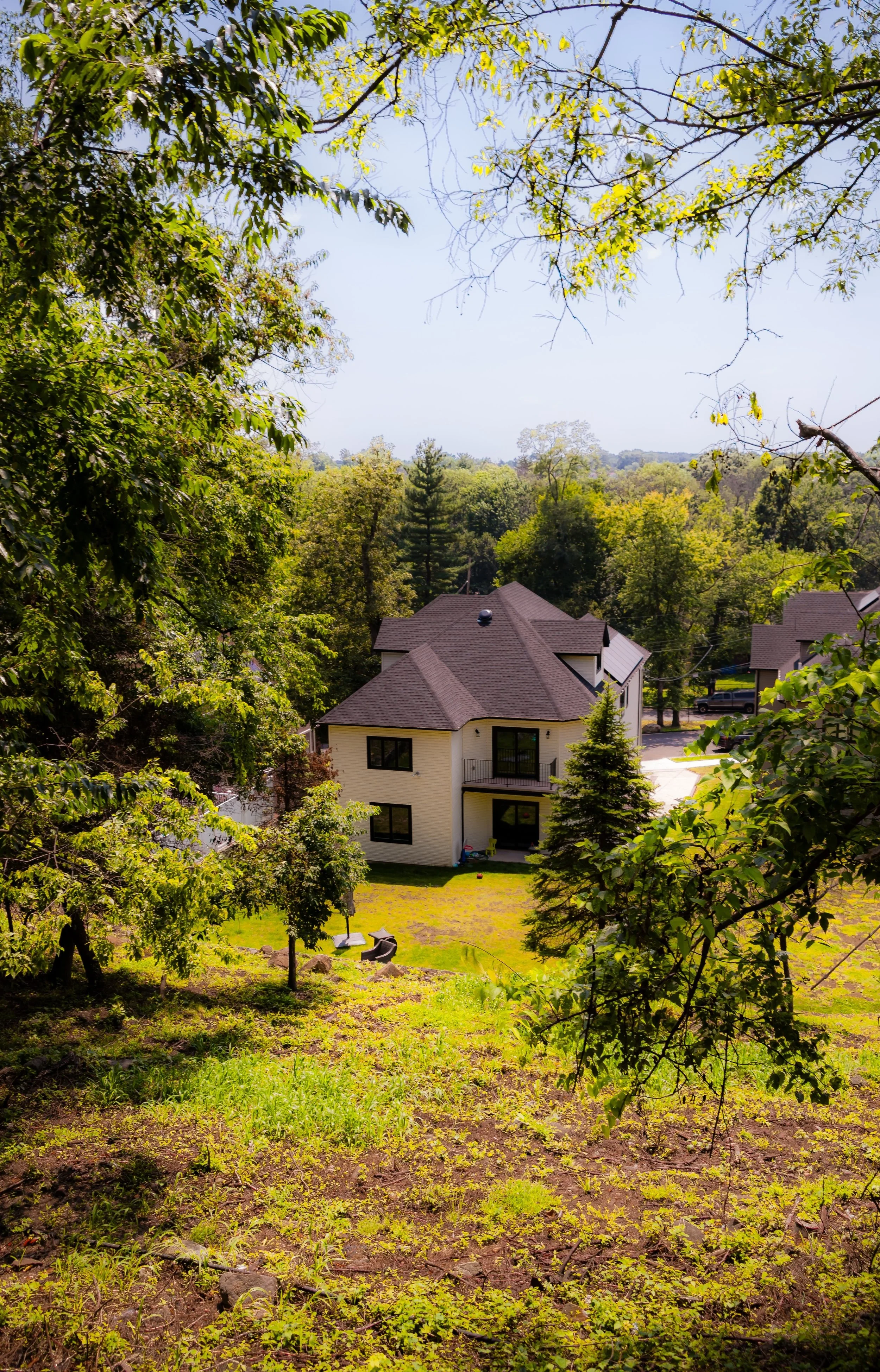
Architecturally, the neighborhood continued to attract those seeking space and artistry. Newer homes incorporated contemporary styles—ranch and modernist designs with large windows and panoramic views—while many early 20th-century residences were lovingly maintained. The lighthouse, automated in 1965, remained a working monument, its beam still visible each night as a reassuring symbol of permanence.
21st Century: A Neighborhood of Light and Landscape
In the 21st century, Lighthouse Hill stands as one of Staten Island’s most distinctive and prestigious neighborhoods, a place where history, architecture, and ecology coexist seamlessly. The Staten Island Range Lighthouse continues to operate under the U.S. Coast Guard, its grounds carefully maintained and occasionally opened for tours. Around it, the neighborhood’s winding roads, stone walls, and mature trees preserve a rare sense of rural intimacy within New York City.
The surrounding LaTourette Park and Greenbelt remain central to the community’s life, offering hiking trails, golf courses, and forest sanctuaries just steps from residents’ homes. Environmental stewardship is a defining value: local associations work to prevent overdevelopment and maintain the fragile ecological balance that makes the area so unique.
Demographically, Lighthouse Hill remains a small, close-knit enclave. Its residents—professionals, educators, artists, and longtime Staten Islanders—are united by an appreciation for nature, privacy, and history. The architecture continues to evolve, with restorations and tasteful new builds that honor the neighborhood’s traditional materials and proportions. On clear days, the views from the hill stretch across the harbor to Brooklyn, Manhattan, and New Jersey, reinforcing its timeless role as Staten Island’s lookout—both literally and symbolically.
Lighthouse Hill Photo Gallery
Spirit and Legacy
The spirit of Lighthouse Hill is defined by elevation—geographic, historical, and spiritual. It is a place where the city’s clamor gives way to wind in the trees and the steady rhythm of the lighthouse beacon, where heritage and landscape form an enduring partnership. The neighborhood’s legacy is not only its architecture or its beacon but its balance: the preservation of open space and quiet dignity amid the metropolis.
Here, Staten Island’s layered history—colonial, maritime, and suburban—finds one of its purest expressions. The lighthouse stands as both a monument and a metaphor: a guide through the fog of time, illuminating the persistence of place.
New York City
Use this custom Google map to explore where every neighborhood in all five boroughs of New York City is located.
The Five Boroughs
One of New York City’s unique qualities is its organization in to 5 boroughs: Manhattan, Brooklyn, Queens, The Bronx, and Staten Island. These boroughs are part pragmatic administrative districts, and part vestiges of the region’s past. Each borough is an entire county in New York State - in fact, Brooklyn is, officially, Kings County, while Staten Island is, officially Richmond County. But that’s not the whole story …
Initially, New York City was located on the southern tip of Manhattan (now the Financial District) that was once the Dutch colony of New Amsterdam. Across the East River, another city was rising: Brooklyn. In time, the city planners realized that unification between the rapidly rising cities would create commercial and industrial opportunities - through streamlined administration of the region.
So powerful was the pull of unification between New York and Brooklyn that three more counties were pulled into the unification: The Bronx, Queens, and Staten Island. And on January 1, 1898, the City of New York unified two cities and three counties into one Greater City of New York - containing the five boroughs we know today.
But because each borough developed differently and distinctly until unification, their neighborhoods likewise uniquely developed. Today, there are nearly 390 neighborhoods, each with their own histories, cultures, cuisines, and personalities - and each with residents who are fiercely proud of their corner of The Big Apple.


