SOUNDVIEW PARK
The Bronx
Geographic Setting
Bounded by Lafayette Avenue and Bronx River Avenue to the north and west, Clason Point to the southeast, and the Bronx River and East River estuaries along its eastern and southern shores, Soundview Park spans over 200 acres of salt marsh, tidal shoreline, ballfields, and meadowlands at the southernmost tip of the Bronx. Often called the “Gateway to the Bronx River,” it sits at the confluence where the Bronx River meets the East River, forming a dynamic ecological and civic landscape—equal parts recreation area, wildlife habitat, and environmental restoration site.
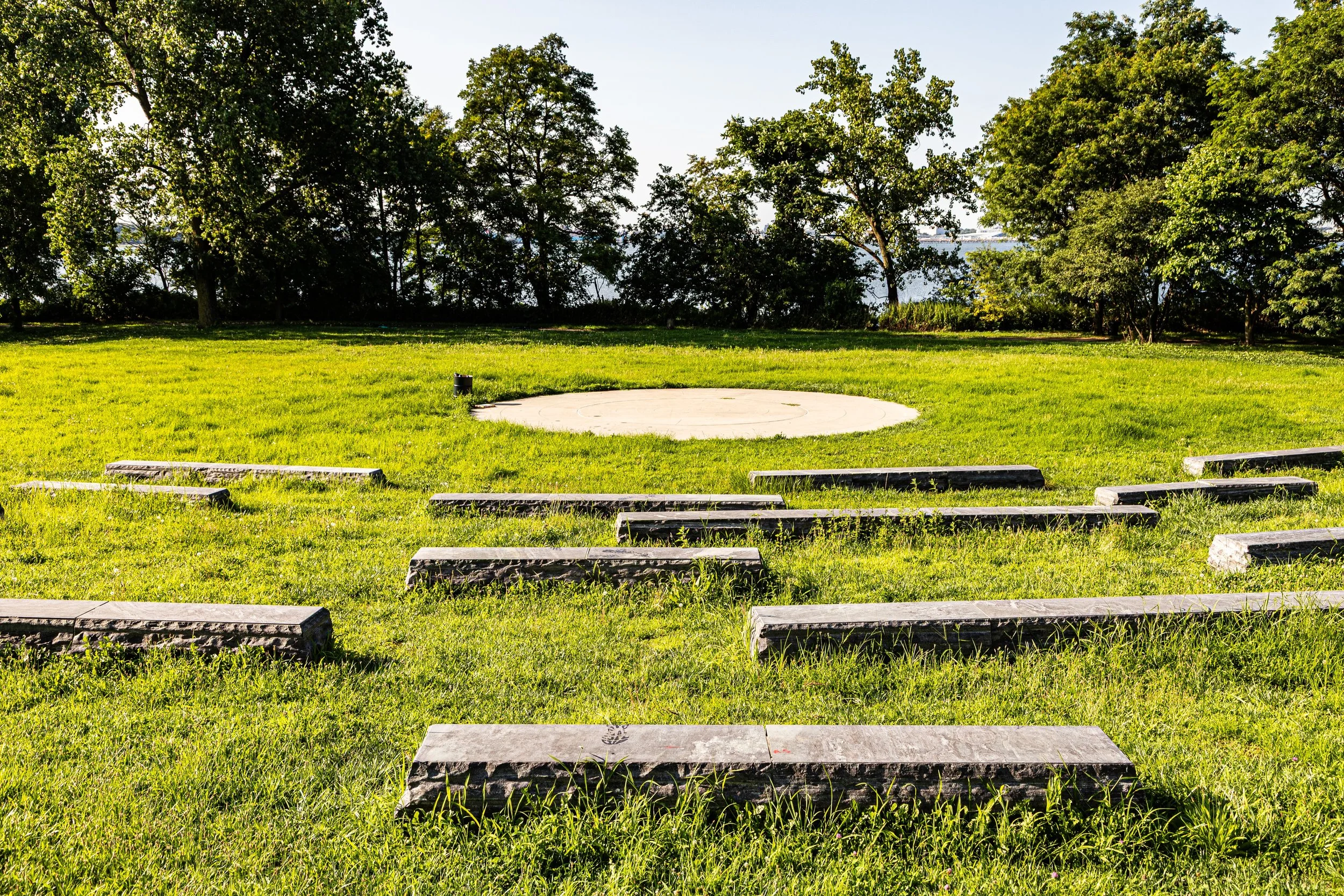
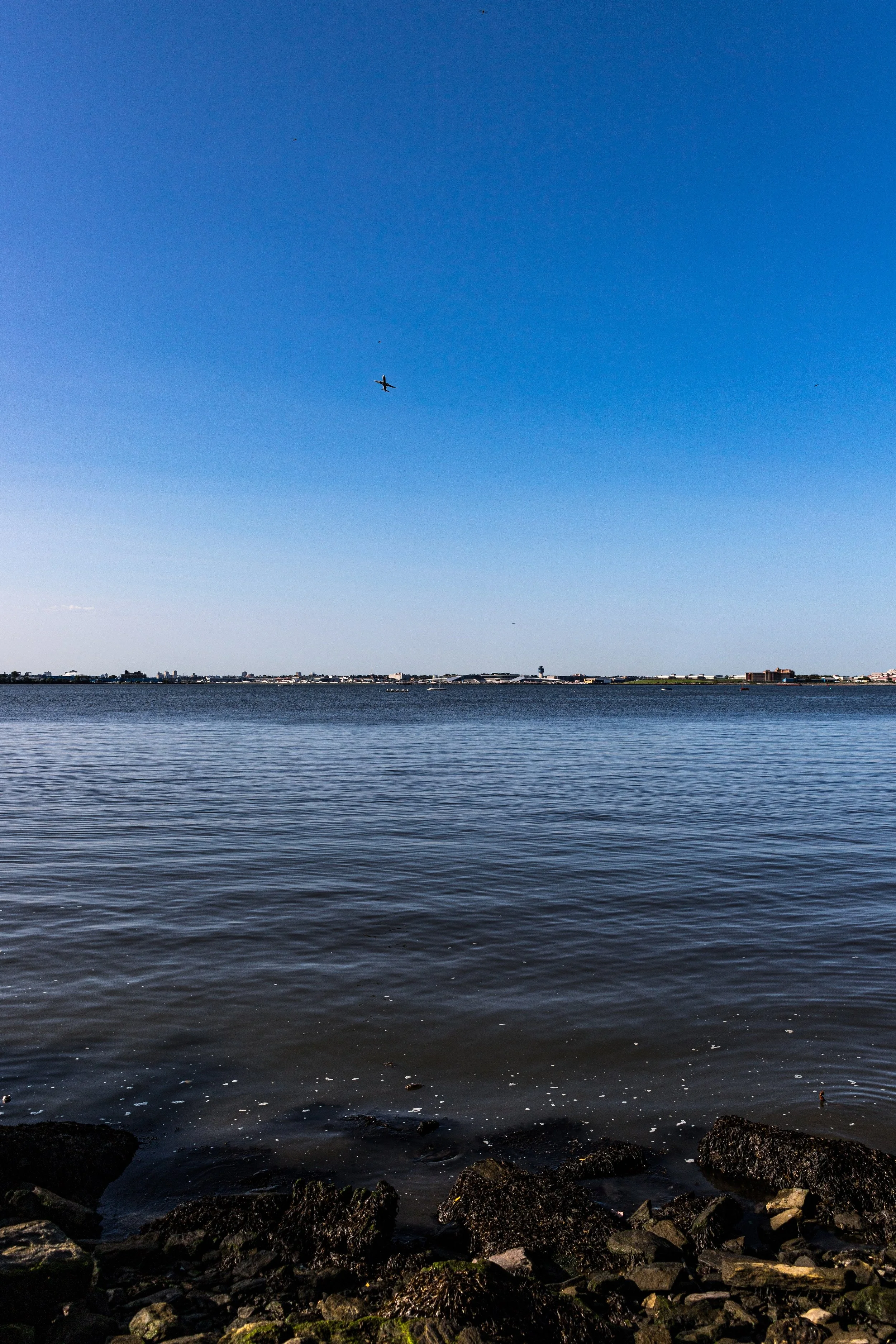
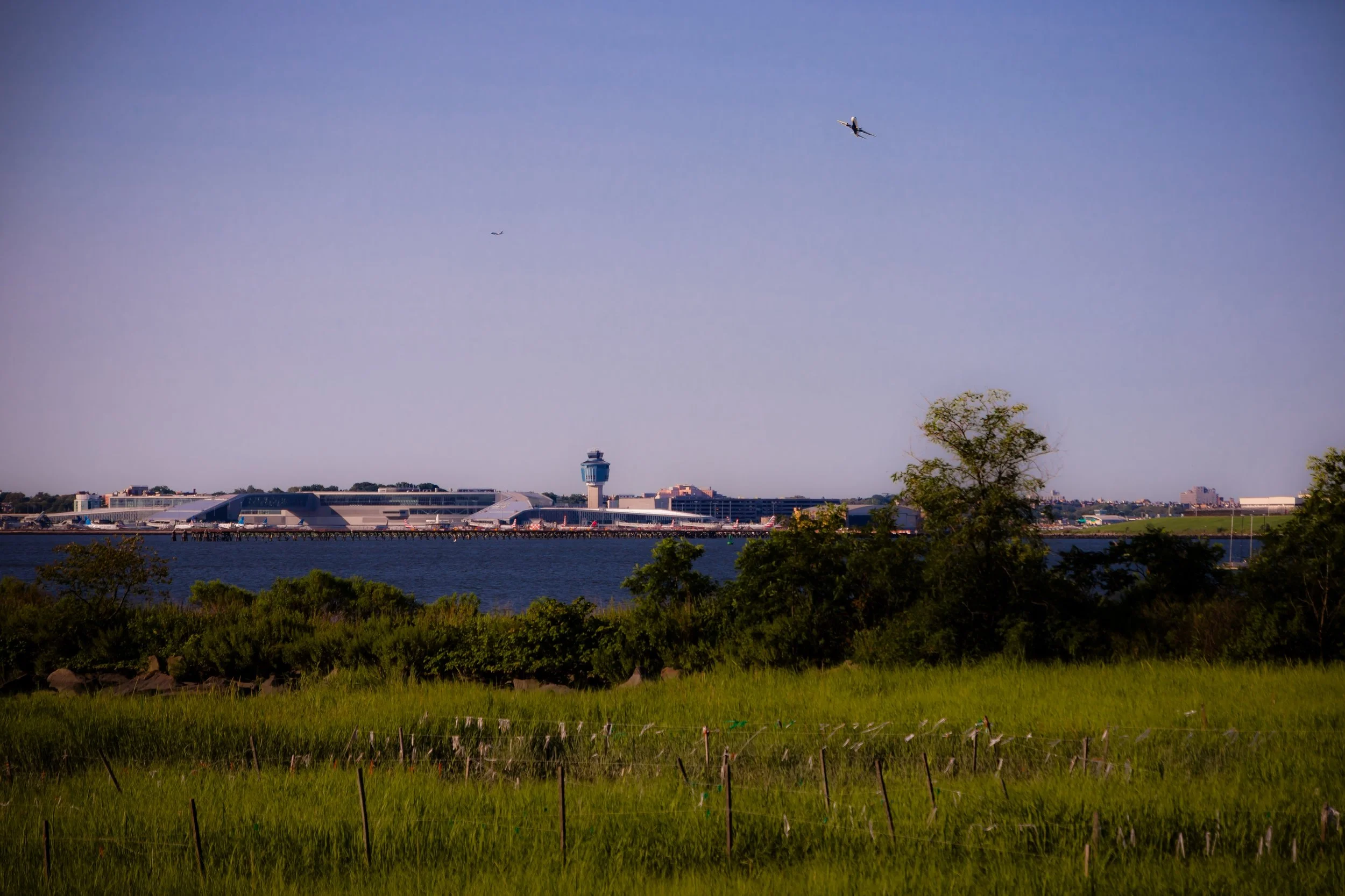
The park’s terrain is defined by its wide-open fields and panoramic water views, rare in so urban a setting. Elevated earthen mounds, restored wetlands, and newly planted salt-tolerant meadows buffer the land against storm surges, while paths and promenades wind along the shoreline, connecting to Soundview Avenue, Metcalf Avenue, and the Bronx River Greenway. From the park’s southern tip, visitors can gaze across the water toward Rikers Island, LaGuardia Airport, and the distant Manhattan skyline.
Soundview Park serves the surrounding neighborhoods of Soundview, Clason Point, and Hunts Point, offering a vital green refuge where communities gather for soccer, baseball, family barbecues, festivals, and quiet moments along the river’s edge.
Etymology
The name “Soundview” derives from the park’s sweeping vistas of the Long Island Sound, visible from its southern and eastern edges on clear days. The term first came into use in the early 20th century as development spread across the Bronx’s southeastern waterfront, reflecting both the area’s geography and its aspirational appeal.
When the city acquired the marshlands that would become the park, “Soundview” evoked a poetic image of open horizons and coastal calm—a fitting name for a park intended to bring light, air, and access to the water for working-class Bronx families. The name endures today as both a geographic description and a reminder of the neighborhood’s enduring connection to the sea.
The Neighborhood
Origins through the 19th Century
Before its transformation into a park, the land now known as Soundview was a tidal marshland at the mouth of the Bronx River, part of a sprawling estuarine system that once extended from Hunts Point to Clason Point. Indigenous Siwanoy Lenape peoples lived and fished along these shores for thousands of years, relying on the river’s abundance of shellfish, waterfowl, and herring.
During the 17th and 18th centuries, European settlers drained and farmed portions of the marsh, using the rich tidal soil for hay and grazing. The Bronx River—New York City’s only true freshwater river—powered sawmills and gristmills upstream, while the lower reaches near Soundview remained largely undeveloped wetlands, serving as a natural buffer between the growing settlements of Westchester and the harbor beyond.
By the 19th century, the area had become a mixture of salt meadow, landfill, and industrial edge. Rail lines, docks, and modest shore industries cropped up along Westchester Creek and the Bronx River, but large tracts of the Soundview Peninsula remained open and marshy—considered marginal land, yet ecologically vital.
Early 20th Century: A Park for the People
The origins of Soundview Park as a public space date to the 1930s, when the New York City Department of Parks, under Commissioner Robert Moses, sought to reclaim underused waterfront areas for recreation. In 1937, the city began acquiring parcels of marshland and landfill south of Lafayette Avenue with the goal of creating a major new park to serve the dense tenement neighborhoods inland.
Construction began under the Works Progress Administration (WPA), which filled portions of the tidal flats with ash and rubble and sculpted them into level playing fields and promenades. Early plans envisioned athletic fields, picnic groves, and a bathing beach, though the latter was never completed due to poor water quality. The newly created Soundview Park opened in stages through the late 1930s and early 1940s, quickly becoming a popular destination for Bronx residents seeking relief from summer heat and urban congestion.
The park’s location at the mouth of the Bronx River made it unique within the city’s system—a combination of coastal reclamation project, floodplain management, and social infrastructure. Its baseball diamonds, running tracks, and open lawns reflected the democratic spirit of the WPA era, designed for recreation accessible to all.
Soundview Park Video Coming Soon
Mid–Late 20th Century: Decline, Survival, and Rediscovery
Like much of the South Bronx, Soundview Park suffered decline in the 1960s and 1970s, as industrial pollution, urban disinvestment, and landfill degradation took their toll. Sections of the park became overgrown, its shoreline eroded, and its fields neglected. The once-bustling recreational center gave way to desolation as the city’s budget crisis deepened.
Yet even in those years, Soundview remained vital to the community. Local leagues continued to play baseball on its fields, neighborhood families gathered for barbecues and picnics, and activists began to envision restoration. The park’s survival mirrored that of the Bronx itself: battered but unbroken, kept alive by the persistence of residents who refused to abandon it.
In the 1980s–1990s, grassroots environmentalists and civic organizations—including the Bronx River Restoration Project and later the Bronx River Alliance—began reclaiming the riverbanks, cleaning debris, and reintroducing native vegetation. Their work marked the start of a long, transformative effort to reconnect Bronx communities to their river and their waterfront.
21st Century: Restoration and Renewal
In the 21st century, Soundview Park has undergone one of the most ambitious ecological restorations in New York City. Through the city’s PlaNYC and Bluebelt initiatives, wetlands have been restored to manage stormwater naturally, improve biodiversity, and buffer against flooding. The Soundview Park Salt Marsh Restoration Project reintroduced more than 20 acres of native cordgrass and tidal habitat, providing refuge for herons, egrets, terrapins, and migratory birds.
New amenities—soccer fields, basketball courts, bike paths, and a playground—have revitalized the park’s role as a neighborhood hub. The Soundview Park Field House, completed in the 2010s, provides educational and community programming, while the Bronx River Greenway now connects the park northward to Concrete Plant Park, Starlight Park, and Bronx Park, linking nearly the entire length of the Bronx River by trail.
Environmental education programs and summer festivals draw visitors from across the borough, celebrating both nature and neighborhood culture. The park’s restored shoreline also serves as a living laboratory for climate resilience—proof that urban design and ecological healing can coexist.
Soundview Park Photo Gallery
Spirit and Legacy
The spirit of Soundview Park is one of renewal—of land, water, and community. From tidal marsh to WPA playground, from neglect to rebirth, the park embodies the Bronx’s power to reinvent itself while remaining deeply rooted in place.
Its legacy is written in the sound of waves meeting city shorelines, in children’s laughter across the ballfields, and in the sight of herons rising from the reeds where factories once stood. Soundview Park today is more than a public space; it is a symbol of the Bronx’s environmental awakening—a place where nature and neighborhood thrive together.
New York City
Use this custom Google map to explore where every neighborhood in all five boroughs of New York City is located.
The Five Boroughs
One of New York City’s unique qualities is its organization in to 5 boroughs: Manhattan, Brooklyn, Queens, The Bronx, and Staten Island. These boroughs are part pragmatic administrative districts, and part vestiges of the region’s past. Each borough is an entire county in New York State - in fact, Brooklyn is, officially, Kings County, while Staten Island is, officially Richmond County. But that’s not the whole story …
Initially, New York City was located on the southern tip of Manhattan (now the Financial District) that was once the Dutch colony of New Amsterdam. Across the East River, another city was rising: Brooklyn. In time, the city planners realized that unification between the rapidly rising cities would create commercial and industrial opportunities - through streamlined administration of the region.
So powerful was the pull of unification between New York and Brooklyn that three more counties were pulled into the unification: The Bronx, Queens, and Staten Island. And on January 1, 1898, the City of New York unified two cities and three counties into one Greater City of New York - containing the five boroughs we know today.
But because each borough developed differently and distinctly until unification, their neighborhoods likewise uniquely developed. Today, there are nearly 390 neighborhoods, each with their own histories, cultures, cuisines, and personalities - and each with residents who are fiercely proud of their corner of The Big Apple.


