WESTERLEIGH
Staten Island
Geographic Setting
Bounded by Forest Avenue to the north, Jewett Avenue to the east, Victory Boulevard to the south, and Willow Road East to the west, Westerleigh occupies a serene upland plateau near the heart of Staten Island’s North Shore. It sits between West New Brighton to the east, Castleton Corners to the southeast, and Willowbrook to the west, with gentle slopes that rise from the lowlands of Clove Valley toward the wooded ridges of the island’s central spine.
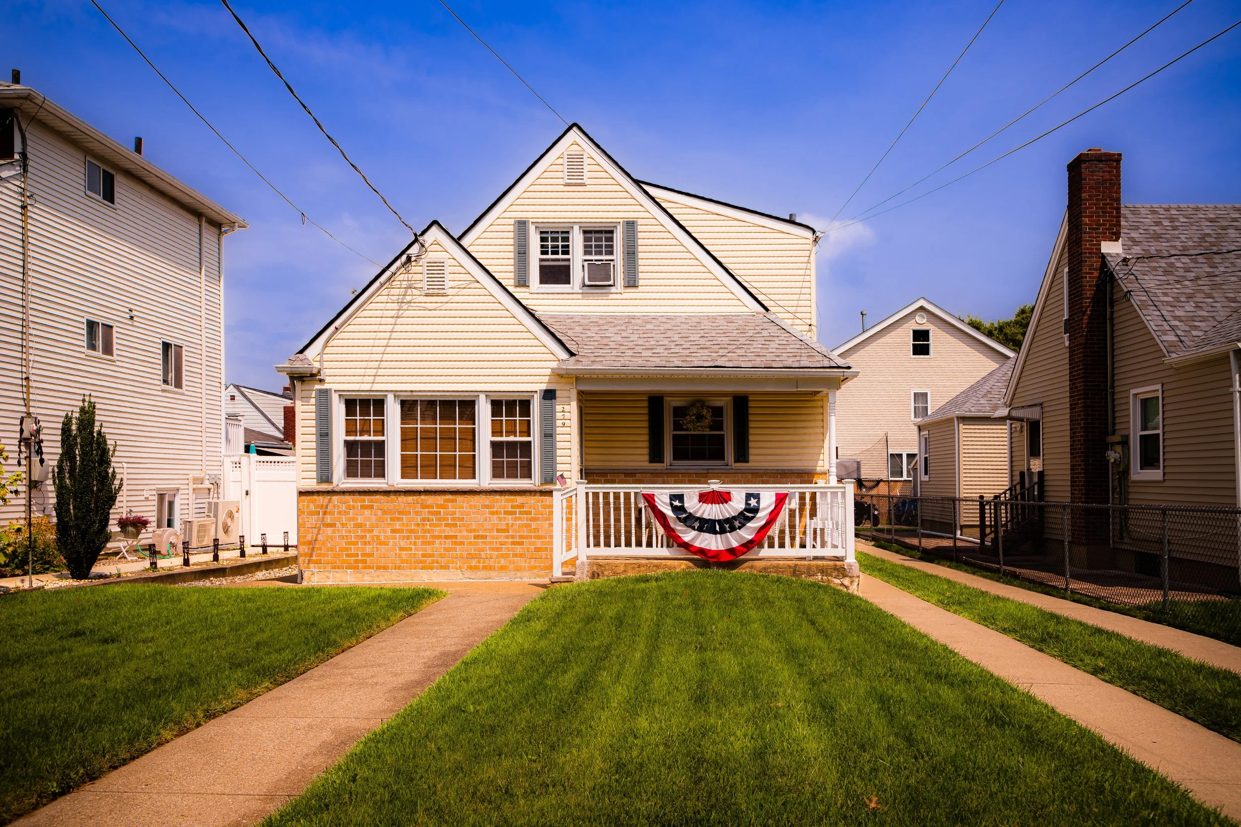
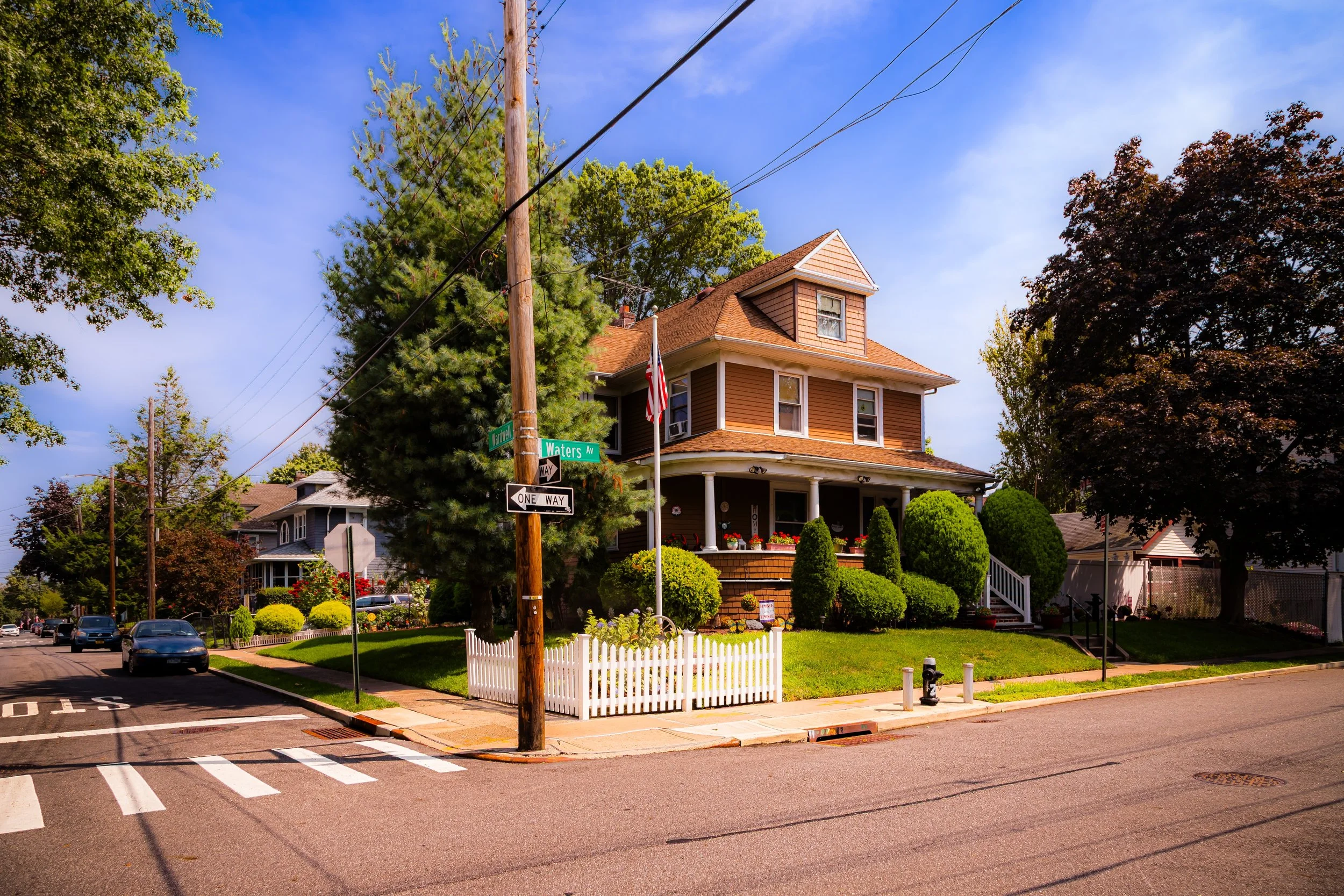
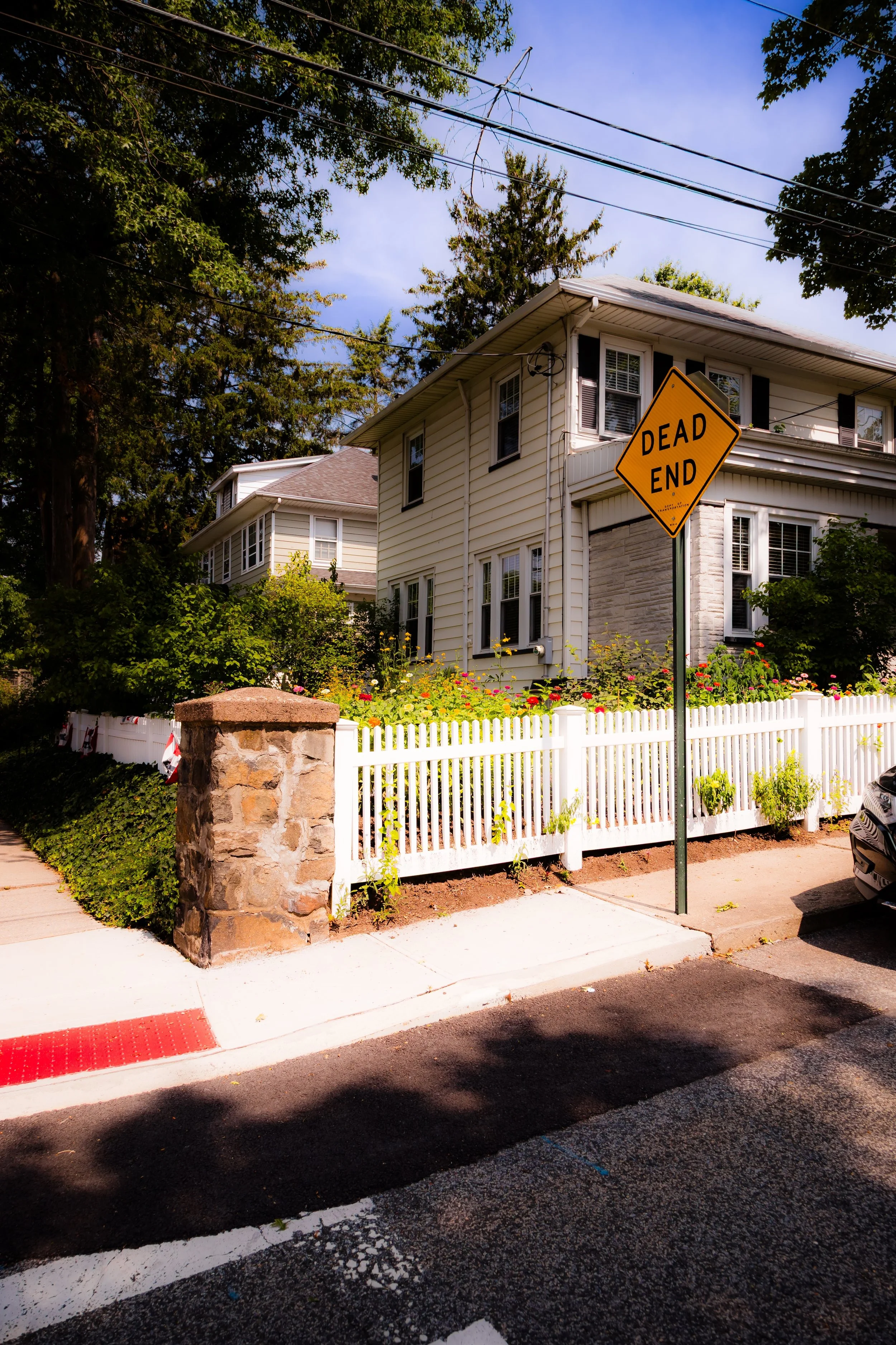
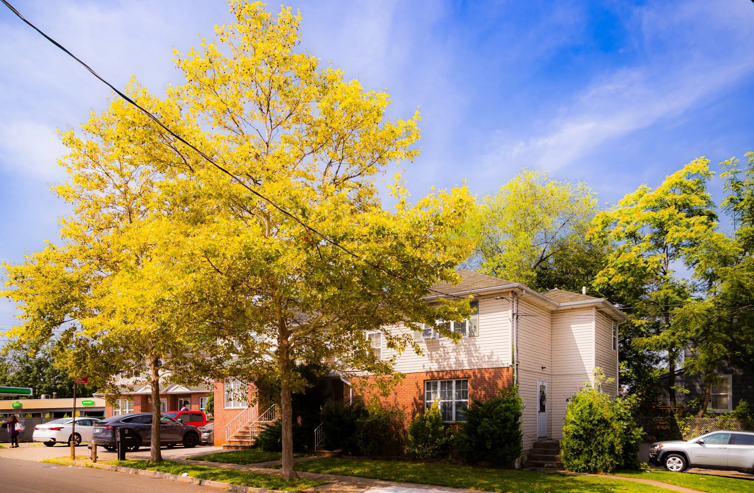
Characterized by winding residential streets, century-old trees, and well-preserved homes in a variety of late Victorian and early 20th-century styles, Westerleigh feels distinctly apart from the bustle of the city beyond it. Parks and green spaces punctuate the neighborhood—most notably Westerleigh Park, a tranquil square shaded by towering oaks and maples that forms the community’s spiritual and social heart. Despite its proximity to major thoroughfares like Forest Avenue and Victory Boulevard, Westerleigh retains the quiet, verdant atmosphere of a small town—an intentional refuge from the urban intensity of New York City.
Etymology
The name Westerleigh originated in the late 19th century as part of a deliberate rebranding effort. The area was originally known as Prohibition Park, a utopian temperance colony established by the National Prohibition Party in the 1880s. When national enthusiasm for the temperance movement waned in the early 1900s, residents sought to distance the neighborhood from its overtly political origins. In 1907, they adopted the name Westerleigh, blending “western” (for its location on the island) with “leigh,” an Old English word meaning meadow or clearing.
The new name reflected both the neighborhood’s physical character—green, pastoral, and elevated—and its aspirational identity as a model suburban community rooted in moral order and civic pride. Even as its founding ideology faded, the spirit of deliberate community-building remained, shaping Westerleigh’s enduring character.
The Neighborhood
Origins through the 19th Century: Prohibition Park and the Moral Suburb
The origins of Westerleigh are among the most unusual in Staten Island’s history. In 1887, the National Prohibition Camp Meeting Association, led by Reverend George C. Needham and other reformers, purchased approximately 150 acres of farmland and woods with the goal of creating a summer colony dedicated to temperance and wholesome living. Modeled after Methodist camp meeting grounds, Prohibition Park was envisioned as both a retreat and a demonstration of moral society—a place free of alcohol, gambling, and vice.
The colony’s founders designed a grid of curving streets radiating from The Circle (now Westerleigh Park), around which they built cottages, pavilions, and community halls. At its height, Prohibition Park featured an auditorium seating 4,000, a hotel, a large tabernacle, and landscaped grounds that hosted rallies, lectures, and concerts promoting temperance, suffrage, and social reform.
The community quickly attracted middle-class families from Manhattan and Brooklyn seeking clean air and moral surroundings. Summer cottages evolved into year-round homes as residents built schools, churches, and civic organizations. The Prohibition Camp Meeting Association maintained strict rules—no alcohol sales or taverns within its boundaries—and even after enforcement relaxed, the community’s emphasis on sobriety, family life, and education remained central to its identity.
By the late 1890s, Prohibition Park had become a thriving suburban enclave with trolley connections to St. George and a reputation as one of Staten Island’s most progressive settlements. Its moral mission, however, was undercut by the national decline of the temperance movement after 1900, and the association eventually disbanded. The residents, eager to preserve the neighborhood’s civic virtues without its moral zeal, chose a new name: Westerleigh.
Early 20th Century: Suburban Stability and Civic Pride
In the early 20th century, Westerleigh evolved from reformist experiment to established suburb. Its physical layout—curved streets, generous lots, and shaded avenues—remained intact, while its public spaces took on new life as centers of neighborhood cohesion. The renamed Westerleigh Park became a cherished communal gathering space, hosting concerts, holiday celebrations, and children’s events much as the old Prohibition rallies once had.
The architecture of this period reflected middle-class tastes and aspirations: Victorian cottages, Colonial Revivals, Craftsman bungalows, and Tudor-style homes lined the streets, creating one of the borough’s most harmonious residential ensembles. Civic organizations such as the Westerleigh Improvement Society (founded in 1893 and still active) maintained sidewalks, planted trees, and promoted public safety and beautification—an ethos of neighborly self-governance that remains a defining feature of the community.
Despite its proximity to Forest Avenue’s commercial bustle, Westerleigh remained almost entirely residential. The few stores that existed were family-run corner shops, reinforcing the neighborhood’s village-like feel. Schools such as P.S. 30 (The Westerleigh School) and local churches, including Immanuel Union Church, became cornerstones of daily life. By the 1920s, Westerleigh had achieved what its founders dreamed of: a stable, wholesome, and self-contained community within commuting distance of Manhattan.
Westerleigh Video Coming Soon
Mid–Late 20th Century: Preservation amid Suburban Growth
The mid-20th century brought sweeping change to Staten Island, but Westerleigh remained remarkably consistent. While other parts of the island saw rapid postwar development following the Verrazzano-Narrows Bridge’s opening in 1964, Westerleigh’s established character and active civic associations shielded it from overdevelopment. Zoning regulations, community activism, and the neighborhood’s strong architectural identity helped preserve its low-density, park-like environment.
During these decades, Westerleigh became synonymous with middle-class stability and civic pride. Its tree-lined streets, modest but well-maintained homes, and strong neighborhood schools made it a model of suburban life within the city. The Westerleigh Improvement Society, among the oldest continuously operating civic associations in New York, played an essential role in maintaining quality of life—organizing beautification projects, park cleanups, and holiday events that kept the neighborhood cohesive through changing times.
Westerleigh Park, once the moral heart of Prohibition Park, reemerged as a social one: a place for picnics, concerts, and community festivals. Generations of Staten Islanders grew up attending Fourth of July parades, Halloween celebrations, and summer band performances beneath its spreading trees. The park’s graceful design and surrounding Victorian homes have made it one of the most photographed and cherished corners of the North Shore.
21st Century: A Green Enclave with Historic Soul
In the 21st century, Westerleigh endures as one of Staten Island’s most admired and desirable neighborhoods—an oasis of greenery, history, and community spirit. Its proximity to Clove Lakes Park and Silver Lake Park enhances its appeal, while its location near major arteries like Victory Boulevard provides access to the broader borough without compromising tranquility.
The neighborhood’s architecture remains largely intact, with restored Victorians and early-20th-century homes standing alongside newer infill that respects the area’s scale. Westerleigh Park continues to serve as the community’s focal point, hosting concerts, farmers’ markets, and neighborhood gatherings. The Westerleigh Improvement Society and local historians have worked tirelessly to preserve the area’s distinctive heritage, securing recognition for its role in both the temperance movement and Staten Island’s suburban evolution.
Diversity has deepened over the past two decades, bringing new energy to a community long defined by continuity. Young families, professionals, and artists have joined multigenerational residents in keeping the neighborhood vibrant. The values that shaped its founding—civic participation, stewardship of the land, and a commitment to wholesome living—still guide its identity, albeit in modern, secular form.
Westerleigh Photo Gallery
Spirit and Legacy
The spirit of Westerleigh lies in its intentionality. Unlike most neighborhoods that simply grew, this one was founded with purpose—as a moral, physical, and civic ideal. Though the temperance movement that birthed it has long since passed, the ideals of community, responsibility, and respect for nature remain woven into its streets and parks.
Its legacy endures in every porch and park bench, in the quiet hum of summer concerts, and in the century-old oak trees that canopy its avenues. Westerleigh exemplifies Staten Island at its best: historic yet living, suburban yet communal, calm yet deeply connected to the city around it.
New York City
Use this custom Google map to explore where every neighborhood in all five boroughs of New York City is located.
The Five Boroughs
One of New York City’s unique qualities is its organization in to 5 boroughs: Manhattan, Brooklyn, Queens, The Bronx, and Staten Island. These boroughs are part pragmatic administrative districts, and part vestiges of the region’s past. Each borough is an entire county in New York State - in fact, Brooklyn is, officially, Kings County, while Staten Island is, officially Richmond County. But that’s not the whole story …
Initially, New York City was located on the southern tip of Manhattan (now the Financial District) that was once the Dutch colony of New Amsterdam. Across the East River, another city was rising: Brooklyn. In time, the city planners realized that unification between the rapidly rising cities would create commercial and industrial opportunities - through streamlined administration of the region.
So powerful was the pull of unification between New York and Brooklyn that three more counties were pulled into the unification: The Bronx, Queens, and Staten Island. And on January 1, 1898, the City of New York unified two cities and three counties into one Greater City of New York - containing the five boroughs we know today.
But because each borough developed differently and distinctly until unification, their neighborhoods likewise uniquely developed. Today, there are nearly 390 neighborhoods, each with their own histories, cultures, cuisines, and personalities - and each with residents who are fiercely proud of their corner of The Big Apple.


