UPPER EAST SIDE
Manhattan
Geographic Setting
Bounded by East 59th Street to the south and East 79th Street to the north, extending from the East River westward to Lexington Avenue (between 59th and 77th Streets) and Third Avenue (between 77th and 79th Streets), the Upper East Side represents one of Manhattan’s most refined and historically layered districts—a neighborhood where elegance, affluence, and cultural legacy have long intersected.
This stretch forms the eastern portion of the Upper East Side proper, overlooking the East River Esplanade and encompassing sub-areas such as Lenox Hill and parts of Yorkville’s southern reaches. Its broad avenues—Park, Lexington, Third, and Second—rise westward from the waterfront’s gentle slope, where gleaming residential towers now stand on ground once lined with factories, breweries, and shipyards. Anchored by Sutton Place to the south and Carl Schurz Park just beyond its northern edge, the area today offers a seamless balance of grandeur and livability: stately prewar apartment houses, leafy side streets, and an enduring sense of domestic grace within the heart of the metropolis.
Etymology and Origins
The name “Upper East Side” emerged in the late 19th century as real estate marketing shorthand for the neighborhoods east of Fifth Avenue between 59th and 96th Streets. Yet the area’s roots reach back to the colonial era, when this land formed part of the Lenox Farm and Jones Wood estates—vast tracts of pasture and woodland sloping to the river. Early roads such as Old Post Road and Boston Road traced routes that later became Third Avenue and Lexington Avenue, connecting the city to the northern countryside.
In the 1830s–1840s, as Manhattan’s grid extended northward, developers subdivided the old estates into residential blocks. The completion of the Third Avenue Elevated Railway (1878) spurred rapid urbanization, transforming the once-rural district into a mixed landscape of brownstones, tenements, and small factories. This stretch of the East Side, however, would diverge dramatically from its working-class neighbors as the 19th century waned—its proximity to Central Park and Fifth Avenue destined it for refinement.
The Neighborhood
Late 19th Century: From Estates to Elegance
The transformation of the Upper East Side began in earnest after the opening of Central Park (1859), which catalyzed elite migration northward from Midtown and Murray Hill. While Fifth and Park Avenues became synonymous with wealth, the eastern avenues initially remained modest—housing artisans, small merchants, and immigrant families who worked in nearby industries or served the households west of Lexington.
By the 1890s, the expansion of the city’s streetcar network and improvements in infrastructure—particularly the East River bridges and ferry lines—brought new prosperity. Grand apartment houses such as The Verona (1890) and The Savoy (1892) along Park Avenue marked the dawn of cooperative living for the upper classes. Eastward, however, a more eclectic architectural mix emerged: Italianate brownstones, Queen Anne rowhouses, and early tenement buildings formed an urban patchwork between Lexington and the river.
The Lenox Hill section, centered around Lexington and 70th–72nd Streets, developed a genteel character of small hotels, carriage houses, and private schools. Meanwhile, the riverfront remained industrious, with breweries, coal yards, and the Manhattan Gas Works serving the city’s growing population. This juxtaposition of elegance and labor defined the district’s early modern identity.
Early–Mid 20th Century: Apartments, Institutions, and Affluence
The first decades of the 20th century consolidated the Upper East Side’s reputation as the city’s premier residential district. The construction of the Lexington Avenue Subway (opened 1918) replaced the old elevated lines and improved accessibility without disrupting the district’s tranquility. Developers replaced brownstones with luxury apartment houses—many designed by leading architects such as Rosario Candela, J. E. R. Carpenter, and Emery Roth—whose setbacks, limestone façades, and expansive layouts epitomized prewar elegance.
East of Lexington, the neighborhood’s social fabric evolved more gradually. Along Second and Third Avenues, tenements gave way to modest apartment buildings and small businesses serving a still-mixed population of Irish, German, and later Hungarian immigrants. This proximity of wealth and work, refinement and resourcefulness, gave the Upper East Side a complexity often obscured by its reputation for privilege.
Cultural and educational institutions reinforced the area’s stature. Hunter College relocated to Park Avenue in 1873 (its current building completed 1936), while private schools such as The Dalton School and Marymount anchored the district’s academic life. Hospitals and research centers along the East River—New York–Presbyterian/Weill Cornell, Rockefeller University (1901), and Memorial Sloan Kettering (1884)—created an eastward corridor of medical innovation, reshaping the waterfront from industry to intellect.
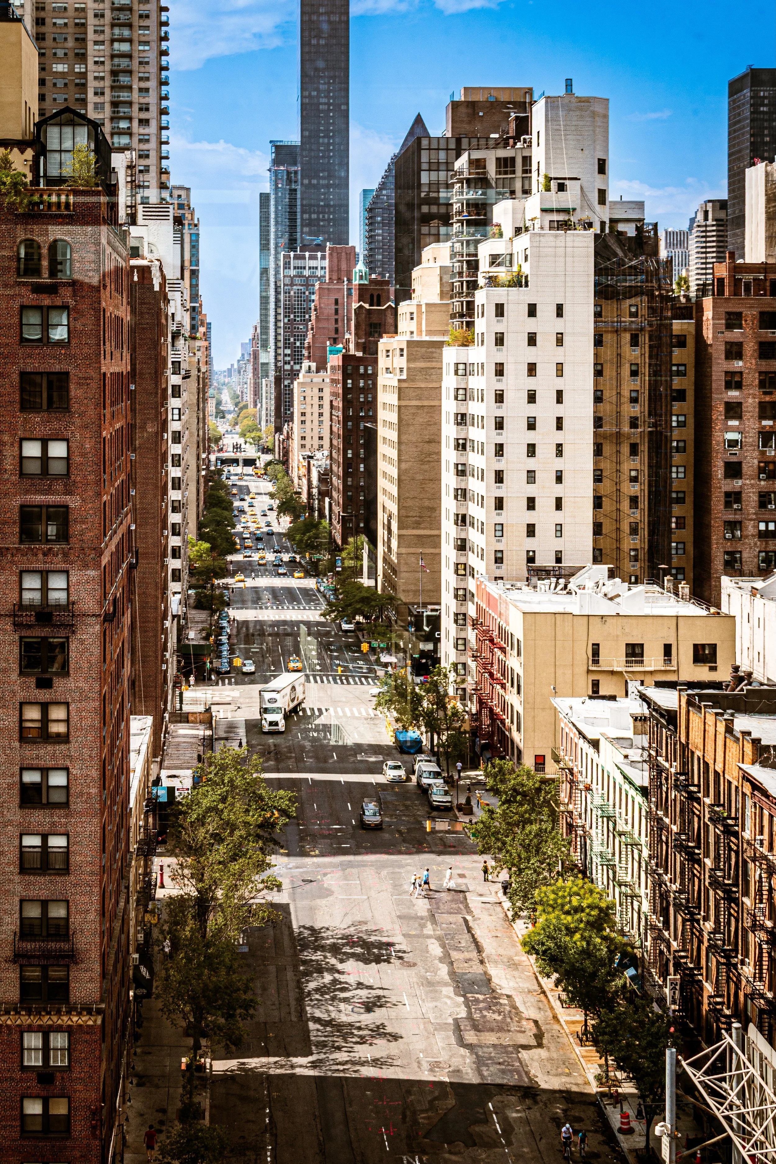
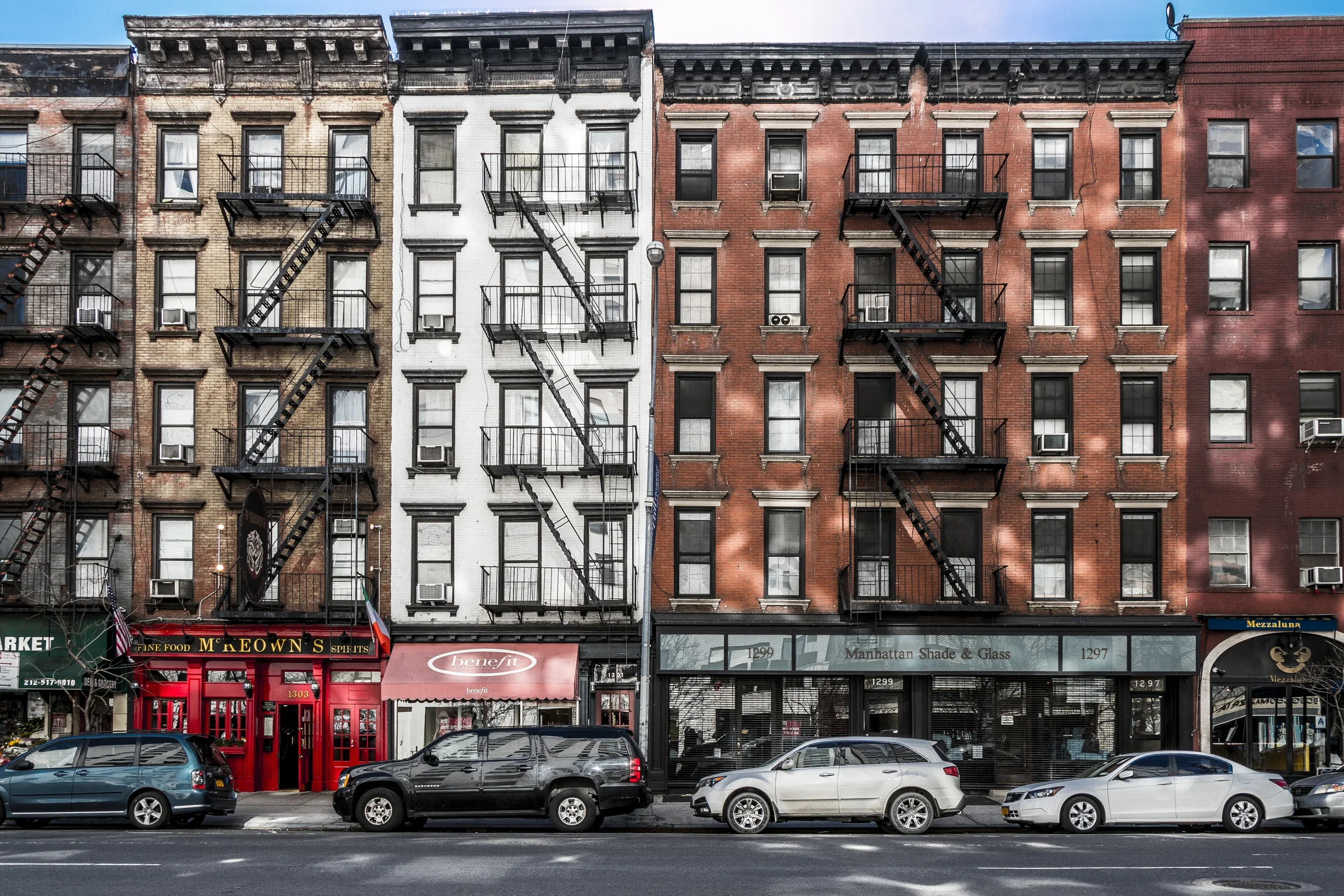
Upper East Side Photographic Tour
Postwar to Late 20th Century: Modernization and Continuity
After World War II, the Upper East Side entered its modern phase. The decline of waterfront industry opened tracts for residential redevelopment. The completion of the FDR Drive (1940s) improved connectivity while physically separating the neighborhood from the river. Luxury towers and cooperative conversions proliferated, particularly along East End Avenue, York Avenue, and East 72nd Street, where architects like Philip Johnson and Paul Rudolph introduced restrained modernism within a classical context.
While many older brownstones were replaced, the neighborhood retained its architectural dignity through landmark protection and community advocacy. The Upper East Side Historic District, designated in 1981, ensured preservation of major streetscapes west of Lexington, while zoning limits eastward maintained the low- to mid-rise scale of the side streets. By the 1970s–1980s, the area had become emblematic of urban stability—a haven of quiet affluence amid the city’s turbulence, immortalized in literature and film from Breakfast at Tiffany’s to Annie Hall.
Parallel to wealth, however, remained a strong middle-class presence—teachers, doctors, and artists drawn by proximity to institutions and the cultural vitality of Midtown. Neighborhood markets, diners, and corner delis along Third and Second Avenues kept the daily texture of city life grounded in routine rather than display.
21st Century: Renewed Riverfront and Modern Vitality
In the 21st century, the eastern Upper East Side has experienced both preservation and reinvention. The completion of the Second Avenue Subway (Phase 1, 2017) revitalized the corridor between Lexington and the river, reducing congestion and spurring new investment. Along the East River, the Esplanade and John Jay Park have been expanded and restored, offering recreational access once obstructed by infrastructure. Modern condominiums—glass-clad yet carefully scaled—now rise beside Art Deco and prewar towers, maintaining a visual harmony rooted in restraint.
Culturally, the neighborhood remains vibrant but understated. Local galleries, bookstores, and small theaters thrive alongside gourmet markets and family-run restaurants. The East 70s remain particularly emblematic: tree-lined blocks of quiet rhythm where doormen still greet generations of the same families. At the same time, new residents—professionals, international diplomats, and medical researchers—sustain the area’s cosmopolitan continuity.
The tension between evolution and permanence defines the district’s present moment: an urban fabric that changes in surface but rarely in spirit.
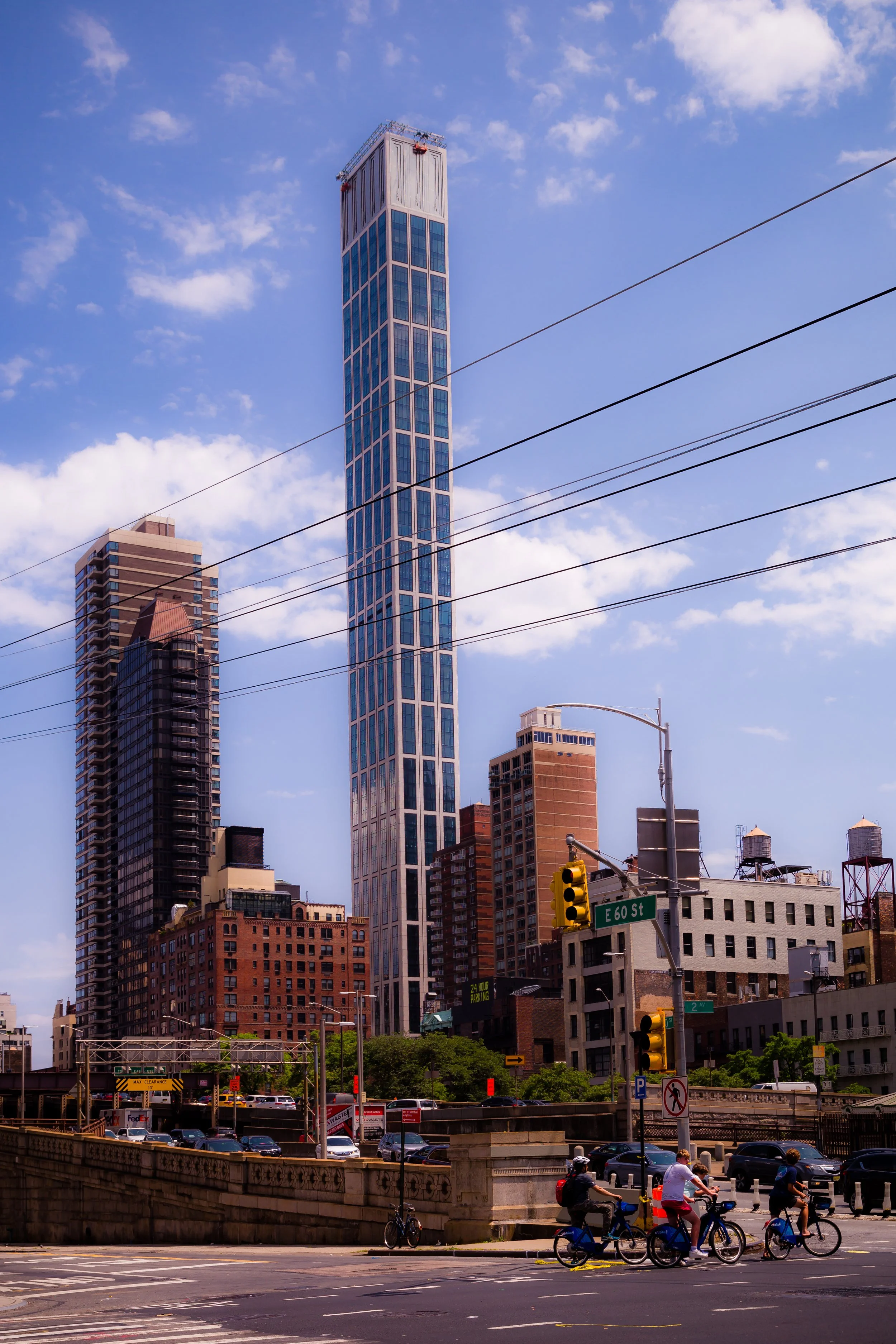
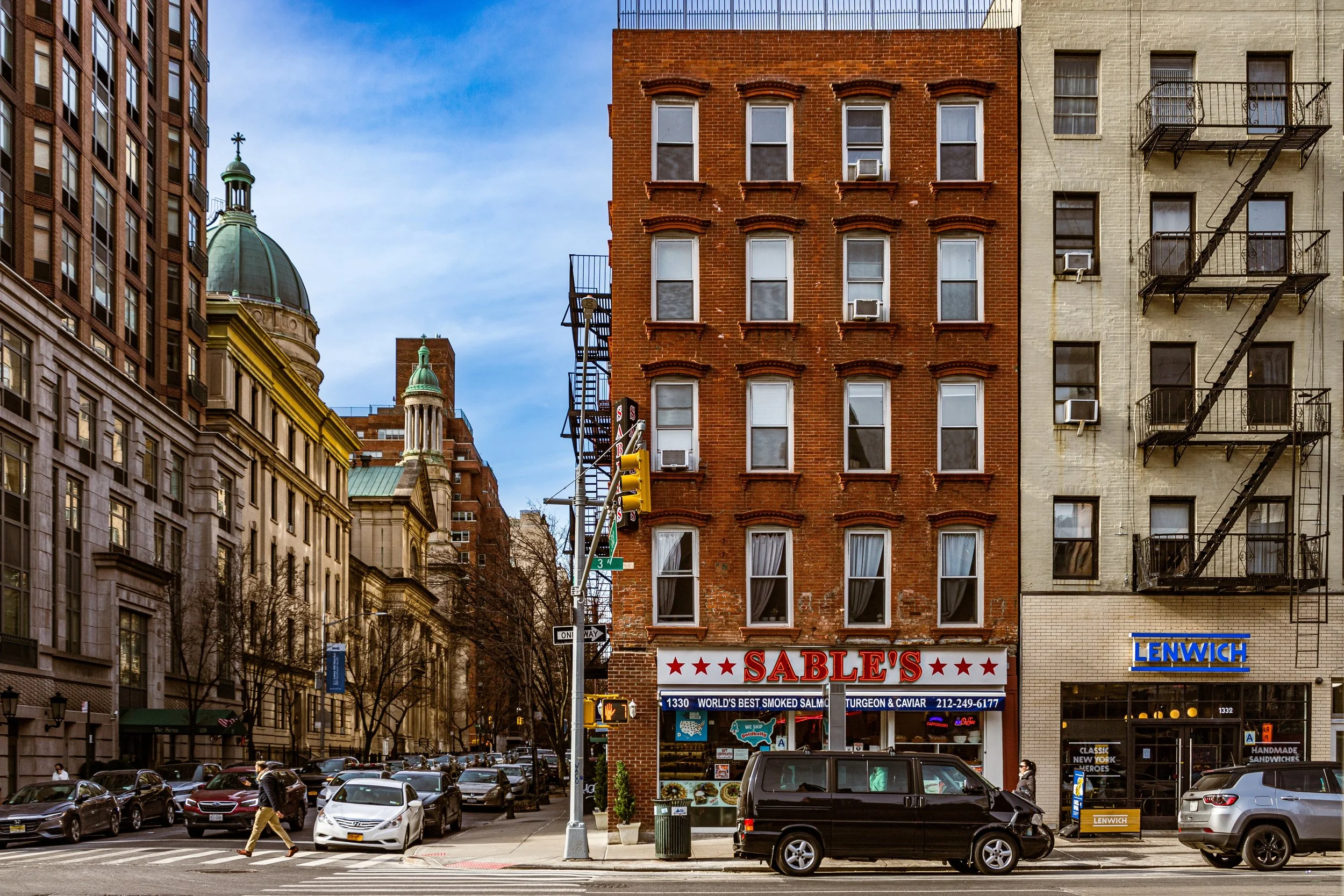
Upper East Side Photo Gallery
Spirit and Legacy
The Upper East Side endures as a symbol of cultivated urban living—a place where architecture, civility, and continuity form the essence of identity. From the genteel rowhouses of the 19th century to the refined towers overlooking the East River, it represents New York’s most enduring vision of domestic sophistication. Yet beneath the reputation for privilege lies a deeper legacy of balance: between preservation and progress, grandeur and modesty, community and privacy.
New York City
Use this custom Google map to explore where every neighborhood in all five boroughs of New York City is located.
The Five Boroughs
One of New York City’s unique qualities is its organization in to 5 boroughs: Manhattan, Brooklyn, Queens, The Bronx, and Staten Island. These boroughs are part pragmatic administrative districts, and part vestiges of the region’s past. Each borough is an entire county in New York State - in fact, Brooklyn is, officially, Kings County, while Staten Island is, officially Richmond County. But that’s not the whole story …
Initially, New York City was located on the southern tip of Manhattan (now the Financial District) that was once the Dutch colony of New Amsterdam. Across the East River, another city was rising: Brooklyn. In time, the city planners realized that unification between the rapidly rising cities would create commercial and industrial opportunities - through streamlined administration of the region.
So powerful was the pull of unification between New York and Brooklyn that three more counties were pulled into the unification: The Bronx, Queens, and Staten Island. And on January 1, 1898, the City of New York unified two cities and three counties into one Greater City of New York - containing the five boroughs we know today.
But because each borough developed differently and distinctly until unification, their neighborhoods likewise uniquely developed. Today, there are nearly 390 neighborhoods, each with their own histories, cultures, cuisines, and personalities - and each with residents who are fiercely proud of their corner of The Big Apple.


