
COLLEGE POINT
Queens
Geographic Setting
Bounded by 138th Street and 15th Avenue to the northeast, the Whitestone Expressway (I-678) to the east, Flushing Bay to the west, and the East River to the north, College Point occupies a peninsula that juts into the waters of northern Queens—a distinct urban village shaped by industry, shoreline, and history. Encircled on three sides by water, the neighborhood commands sweeping views of the Bronx, Rikers Island, and the open expanse of the East River where it meets Long Island Sound.
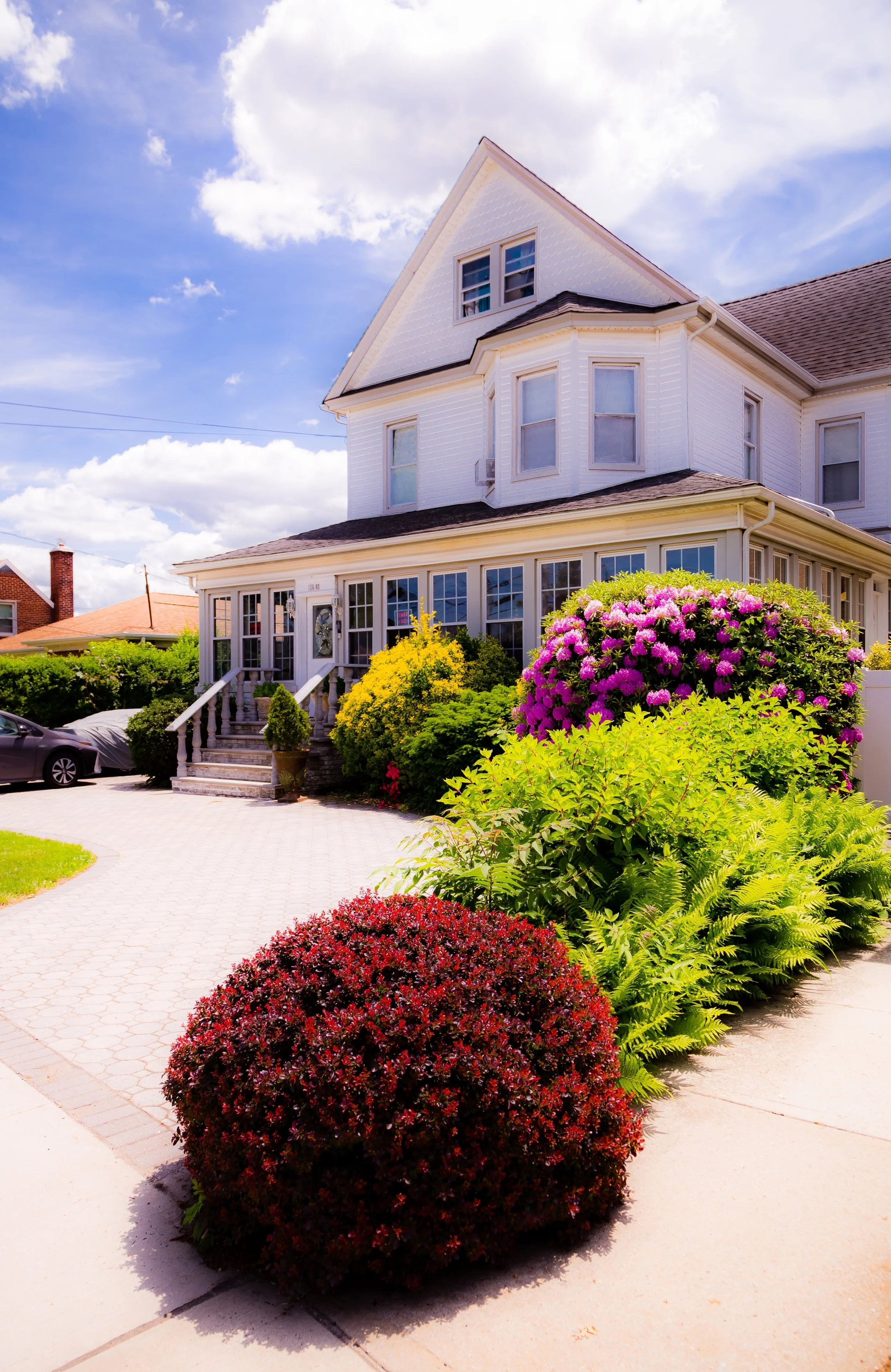
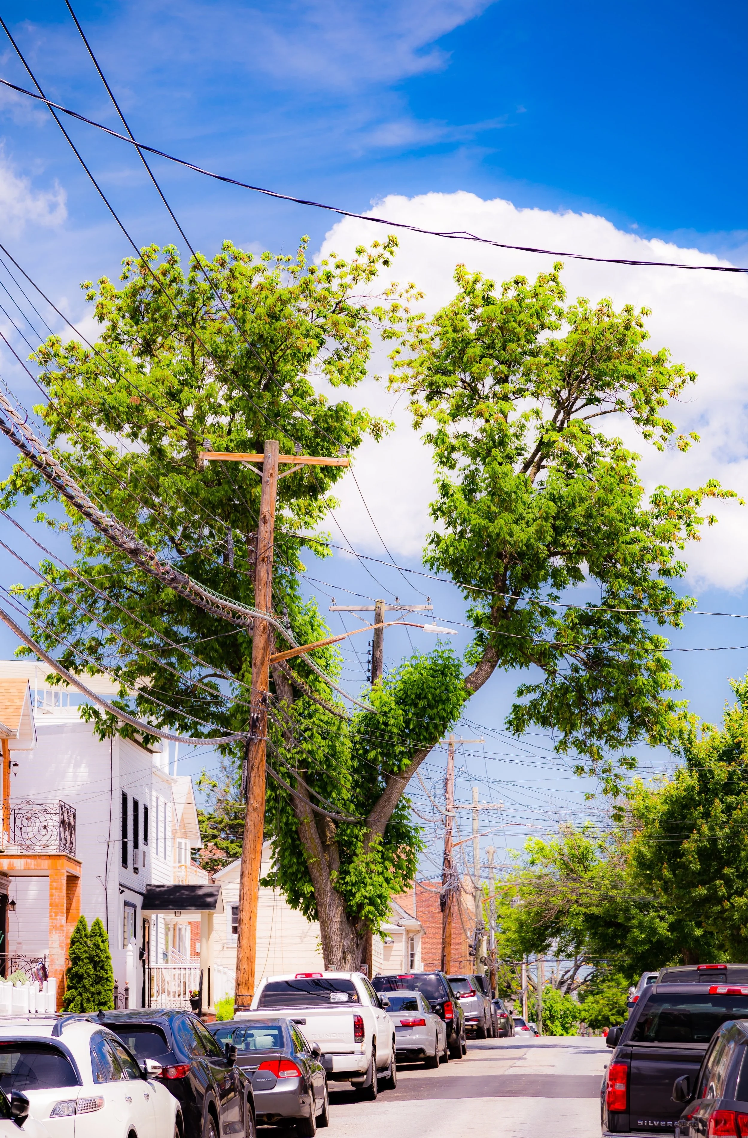
College Point’s street grid fans northward from 14th Avenue, 20th Avenue, and College Point Boulevard, the latter serving as the neighborhood’s commercial and civic spine. Its urban fabric blends 19th-century industrial heritage—converted factories, old breweries, and brick warehouses—with 20th-century rowhouses, detached homes, and waterfront parks. Along MacNeil Park and Powell’s Cove Park, the shoreline opens into promenades and salt marshes, while inland blocks bustle with small businesses, auto shops, and bakeries. Despite the encroachment of modern logistics hubs and light industry, College Point retains a small-town character—its own ecosystem of parks, parishes, schools, and family-owned stores, framed by the water on nearly every side.
Etymology and Origins
The name “College Point” dates to the mid-19th century and refers to St. Paul’s College, a short-lived seminary founded in 1838 by the Reverend Augustus Muhlenberg, a pioneering Lutheran educator. Though the college closed by 1850, its presence gave the surrounding area both its name and its aspirational identity. The peninsula’s earlier history, however, stretches back to the 17th century, when it was part of the Town of Flushing, settled by English colonists under Dutch jurisdiction. Known then as Lawrence’s Neck, it was occupied by the Matinecock people before European settlement and later owned by the Lawrence family, whose farmland dominated the region for nearly two centuries.
In the mid-1800s, as New York’s industrial economy expanded, the area’s isolation and shoreline made it ideal for factories and shipyards. The construction of plank roads and ferry routes to Manhattan transformed the once-rural point into a manufacturing hub, setting the stage for the community that would define the neighborhood’s identity for the next hundred years.
The Neighborhood
19th Century: From Seminary to Industrial Village
After St. Paul’s College closed, the land was purchased by Conrad Poppenhusen, a German-American industrialist and inventor who would become the founding father of College Point. In 1854, Poppenhusen established the Poppenhusen India Rubber Company, a factory that produced hard rubber goods and employed hundreds of local residents. To support his workforce, he constructed housing, schools, and civic amenities, transforming the area into one of New York’s earliest examples of a company town.
Poppenhusen’s legacy extended beyond industry: in 1868 he founded the Poppenhusen Institute, a Romanesque Revival building that housed the nation’s first free kindergarten, a library, and a museum. The Institute still stands today as a historic landmark, symbolizing the blend of philanthropy and progressivism that shaped the community’s early life.
By the late 19th century, College Point was a thriving village with breweries, piano factories, and boatyards lining its waterfront. German and Irish immigrants formed the core of the population, building churches such as St. Fidelis Roman Catholic Church (1856) and First Reformed Church (1870). Streets bore the names of early settlers, and the area developed a reputation for cleanliness, industriousness, and civic independence—qualities that would endure long after its factories quieted.
Early–Mid 20th Century: Working-Class Strength and Suburban Growth
Through the early 20th century, College Point maintained its dual character as an industrial hub and residential enclave. Factories such as Rubber Goods Manufacturing Company, Chickering Piano Works, and Empire Millwork employed generations of residents. The arrival of trolleys and later bus routes connected College Point to downtown Flushing, while ferry lines carried workers to the Bronx and Manhattan.
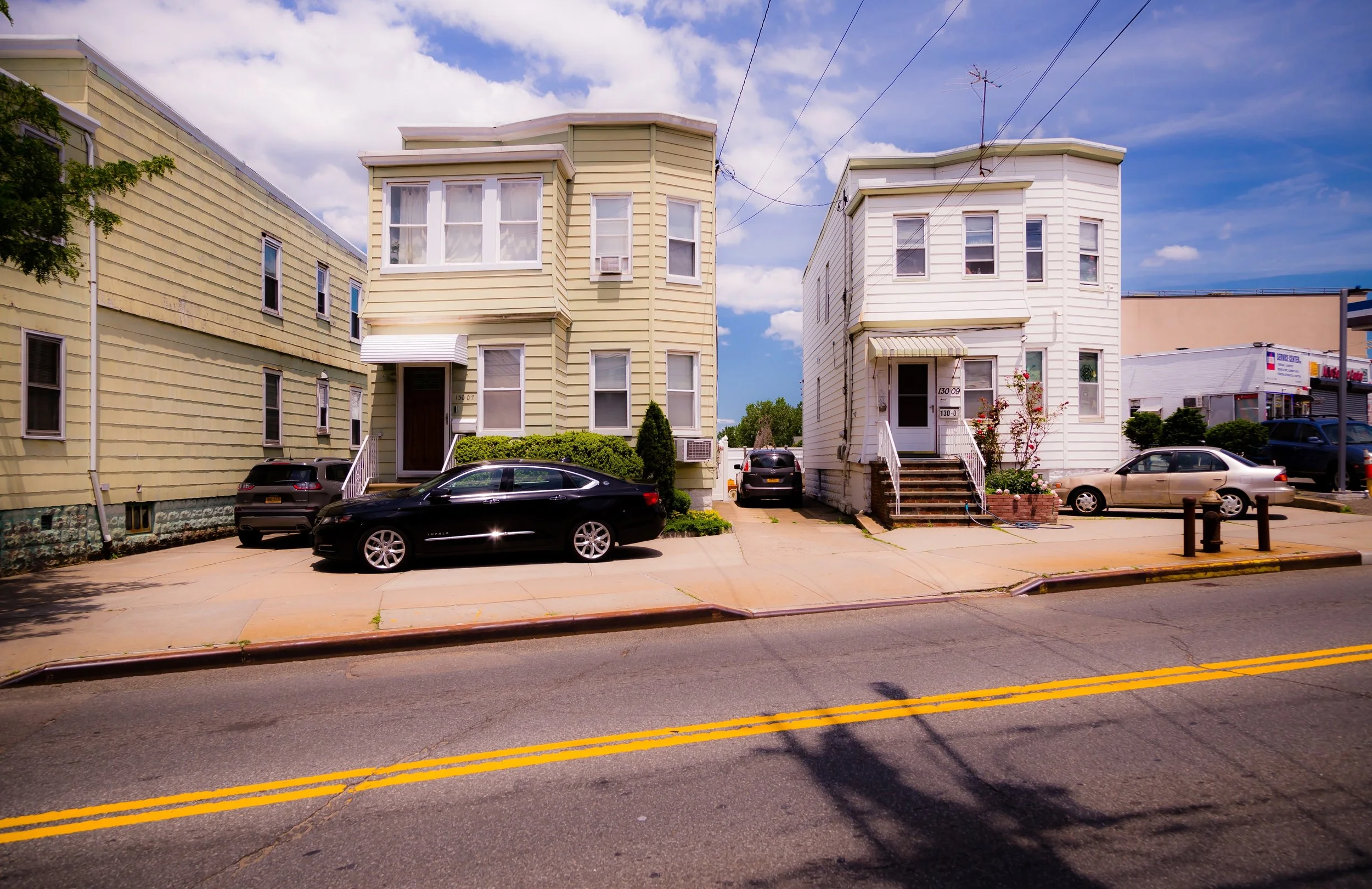
By the 1920s and 1930s, brick rowhouses and single-family homes filled in the grid south of 15th Avenue. The completion of the Whitestone Bridge (1939) and the Whitestone Expressway in the following decades redefined the peninsula’s boundaries, improving access while isolating it from neighboring districts. The industrial waterfront remained active well into the 1960s, even as suburbanization spread across Queens. Local taverns, bakeries, and corner groceries—many German, Italian, and Irish-owned—formed the social backbone of the community.
Despite encroaching modernization, College Point retained its self-sufficient ethos. Residents often lived, worked, and shopped within the same few square miles. Churches, the College Point Little League, and community institutions such as the Poppenhusen Institute and College Point Civic and Historical Society reinforced the neighborhood’s sense of belonging.
College Point Video Coming Soon
Late 20th Century: Transition and Resilience
By the 1970s and 1980s, as factories closed and waterfront industries declined, College Point faced economic transition. The demolition of old plants gave way to warehouses and light manufacturing centers, altering the landscape but preserving its blue-collar character. Many longtime families—descendants of German and Italian immigrants—remained, joined by new residents from Latin America and East Asia.
Infrastructure improvements, such as the expansion of 20th Avenue and new commercial corridors along College Point Boulevard, attracted small businesses and warehouses serving LaGuardia and JFK Airports. At the same time, civic leaders and residents advocated for preservation of the neighborhood’s historic fabric. Efforts to restore the Poppenhusen Institute and protect green spaces like Powell’s Cove Park and MacNeil Park reflected a growing awareness of the area’s historical and environmental value.
21st Century: Diversity and Renewal by the Water
In the 2000s and 2010s, College Point entered a period of revitalization shaped by both change and continuity. The population has become one of Queens’ most diverse, with strong Asian-American, Latino, and South Asian communities joining the long-established European-American base. The housing stock—ranging from 19th-century cottages to new brick townhouses—reflects this mix of old and new.
While industry remains a presence, particularly along 20th Avenue’s commercial corridor, waterfront parks and residential redevelopment have restored the neighborhood’s connection to the bay. MacNeil Park now serves as a focal point for recreation and community events, offering views of the Bronx-Whitestone Bridge and the Harlem River estuary. Despite periodic challenges—traffic congestion, flooding, and overdevelopment—College Point continues to balance its industrial heritage with its identity as a family-oriented, working- and middle-class community.
College Point Photo Gallery
Spirit and Legacy
College Point’s spirit lies in its independence—a peninsula both physically and culturally distinct, bound together by water, history, and self-reliance. Its evolution from a colonial farmstead to an industrial village, and from a company town to a multicultural neighborhood, mirrors the larger story of Queens itself.
New York City
Use this custom Google map to explore where every neighborhood in all five boroughs of New York City is located.
The Five Boroughs
One of New York City’s unique qualities is its organization in to 5 boroughs: Manhattan, Brooklyn, Queens, The Bronx, and Staten Island. These boroughs are part pragmatic administrative districts, and part vestiges of the region’s past. Each borough is an entire county in New York State - in fact, Brooklyn is, officially, Kings County, while Staten Island is, officially Richmond County. But that’s not the whole story …
Initially, New York City was located on the southern tip of Manhattan (now the Financial District) that was once the Dutch colony of New Amsterdam. Across the East River, another city was rising: Brooklyn. In time, the city planners realized that unification between the rapidly rising cities would create commercial and industrial opportunities - through streamlined administration of the region.
So powerful was the pull of unification between New York and Brooklyn that three more counties were pulled into the unification: The Bronx, Queens, and Staten Island. And on January 1, 1898, the City of New York unified two cities and three counties into one Greater City of New York - containing the five boroughs we know today.
But because each borough developed differently and distinctly until unification, their neighborhoods likewise uniquely developed. Today, there are nearly 390 neighborhoods, each with their own histories, cultures, cuisines, and personalities - and each with residents who are fiercely proud of their corner of The Big Apple.


