FAR ROCKAWAY
Queens
Geographic Setting
Bounded by Beach 32nd Street to the west, Nassau County to the east, Bayswater and Jamaica Bay to the northwest, and the Atlantic Ocean to the south, Far Rockaway anchors the easternmost end of the Rockaway Peninsula—a historic gateway where New York City meets the open sea. Separated from the rest of Queens by the bay and accessible only by causeway, bridge, or subway trestle, it is both part of the city and apart from it: a coastal town with deep urban roots and enduring seaside character.
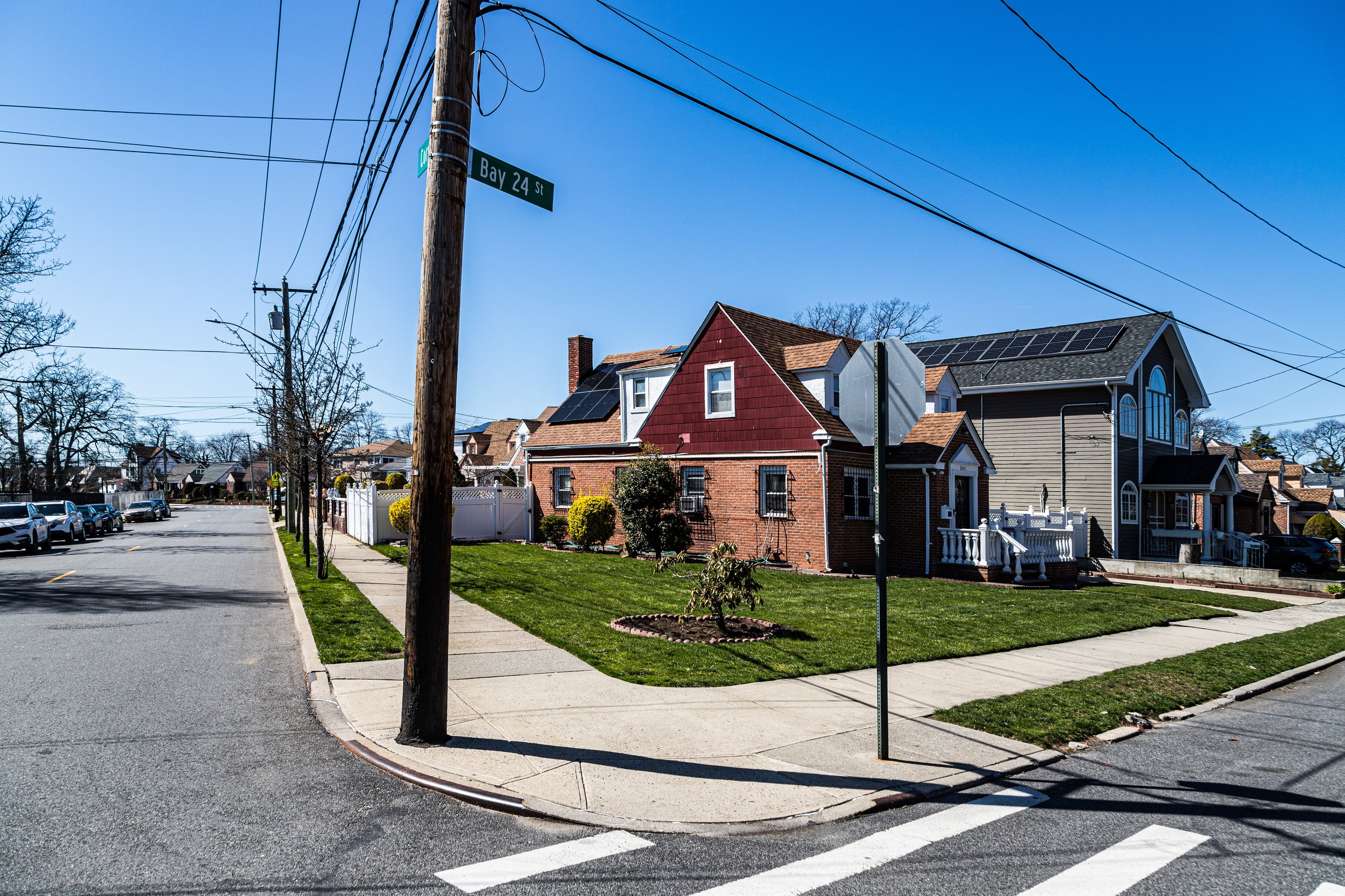
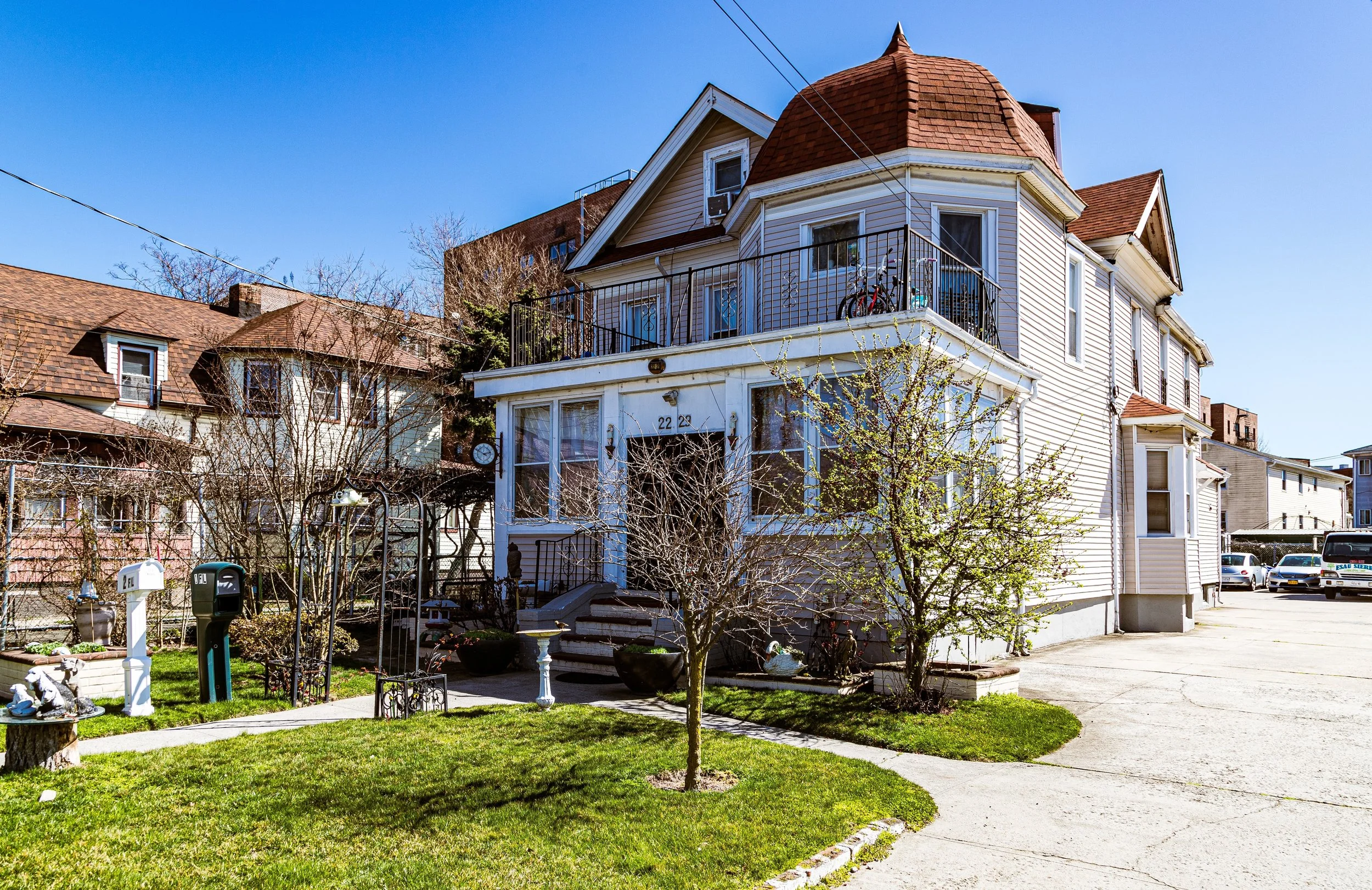
The neighborhood’s geography is defined by its dual shoreline. To the south, the Rockaway Beach Boardwalk stretches along the Atlantic’s dunes, offering miles of beach framed by apartment towers, schools, and the rhythmic sound of surf. To the north, the calm waters of Jamaica Bay and the inlets of Bayswater Park provide a counterpoint to the ocean’s force. Mott Avenue, Beach Channel Drive, and Nameoke Avenue serve as Far Rockaway’s main commercial and civic arteries, converging near the Far Rockaway–Mott Avenue Station, the terminus of the A train, and the Long Island Rail Road’s Far Rockaway Station, which together link the peninsula to the wider metropolis. The grid of Beach 9th through Beach 32nd Streets forms the residential core, encompassing an eclectic mix of bungalows, brick rowhouses, high-rise apartments, and newly built townhomes—each chapter of the neighborhood’s long and shifting story written into its landscape.
Etymology and Origins
The name “Rockaway” originates from the Lenape term Reckowacky, believed to mean “place of sands” or “place of shining waters.” European settlers, beginning with the Dutch and later the English, adapted the name to “Rockaway” and used the peninsula as common grazing land and a fishing outpost as early as the 1650s. “Far Rockaway” distinguished the easternmost portion of the long barrier island, so named because of its distance from the early settlements in western Long Island.
Through the 18th and early 19th centuries, the area remained sparsely settled, its sandy soils and marshes limiting agriculture but providing ideal terrain for fishing and oystering. Its isolation, however, would later prove to be an asset: as New York City industrialized, Far Rockaway’s oceanfront breezes and wide beaches drew visitors seeking recreation, rest, and health.
The Neighborhood
19th Century: A Seaside Resort Emerges
By the mid-1800s, Far Rockaway had transformed into one of the most fashionable seaside resorts on the Atlantic coast. The Long Island Rail Road, extended to the Rockaways in 1869, made the peninsula easily accessible from Manhattan and Brooklyn, spurring a hotel and entertainment boom. Grand establishments such as the Rockaway Beach Hotel and the Beach House Pavilion drew thousands of summer visitors, while cottages, bathhouses, and dance halls lined the shore.
At the same time, the village developed a permanent residential core around Mott Avenue, Nameoke Avenue, and Central Avenue, where merchants and hotel staff lived year-round. The Far Rockaway Association, formed in 1871, managed local services before the area’s annexation into New York City. Churches, schools, and civic halls reflected a stable middle-class community taking root alongside the transient glamour of summer crowds.
Early 20th Century: Suburban Expansion and Civic Growth
With the decline of the grand hotels at the turn of the 20th century, Far Rockaway evolved into a commuter suburb and year-round residential neighborhood. The Rockaway Beach Branch of the LIRR, rebuilt after the 1895 fire that destroyed much of the old resort district, brought daily service to Manhattan. The completion of the Marine Parkway Bridge (1937) and later the A train extension (1956) connected Far Rockaway directly to Brooklyn and the rest of New York City, forever altering its orientation from summer colony to urban enclave.
The early 20th century saw an influx of Jewish, Irish, and Italian-American families, many of whom built modest single-family homes and synagogues along tree-lined streets near Beach 9th to Beach 19th Streets. Far Rockaway’s reputation as a middle-class coastal community flourished through the 1930s and 1940s, with local commerce centered along Mott Avenue and Central Avenue. The neighborhood’s schools, such as Far Rockaway High School (opened 1897), became civic landmarks and points of pride.
Far Rockaway Video Coming Soon
Mid–Late 20th Century: Decline and Displacement
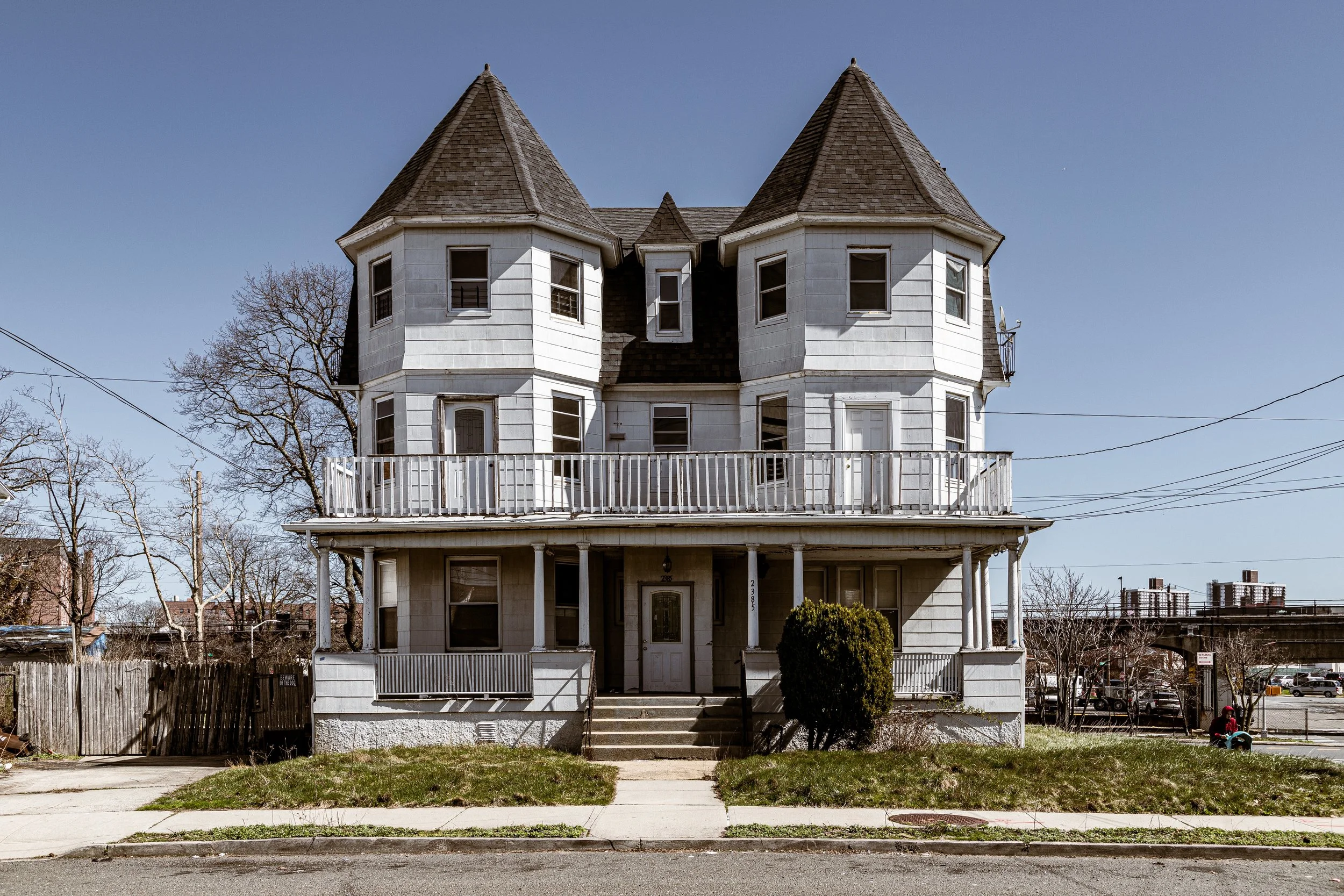
Far Rockaway’s stability began to waver after World War II. Urban renewal projects, coupled with the construction of large-scale public housing, reshaped the neighborhood’s social and physical landscape. The decline of the peninsula’s resort economy coincided with suburban flight, as middle-class families relocated to Nassau County or Long Island. By the 1960s, many of the once-grand bungalows had been subdivided or abandoned, while high-rise developments such as the Redfern Houses and Edgemere Houses introduced concentrated poverty and new infrastructure challenges.
Economic disinvestment followed. The commercial corridors of Mott Avenue and Beach Channel Drive suffered from vacancy, and the area’s relative isolation—geographically distant from Manhattan, physically hemmed in by water—intensified its struggles. Yet amidst hardship, Far Rockaway remained a center of resilience and activism. African-American, Caribbean, and Latino families—many displaced from urban renewal zones in Brooklyn and the Bronx—made the neighborhood their home, forming tight-knit communities rooted in faith and perseverance. Churches, civic organizations, and youth programs became lifelines, sustaining neighborhood pride through decades of neglect.
21st Century: Resilience, Redevelopment, and Renewal
In the 2000s and 2010s, Far Rockaway began a gradual revival fueled by public investment and community-driven planning. New housing initiatives, school renovations, and transportation upgrades have reshaped the neighborhood’s trajectory. The Downtown Far Rockaway Redevelopment Plan, launched in 2017, aims to transform the area around Mott Avenue into a walkable, mixed-use district with affordable housing, retail, and public plazas. The Far Rockaway Library, long a beloved institution, is being rebuilt as a state-of-the-art cultural center designed by Snøhetta Architects, symbolizing renewal through design.
The effects of Hurricane Sandy (2012) remain etched into the community’s memory. The storm devastated homes, flooded infrastructure, and laid bare the vulnerabilities of coastal living. In its aftermath, Far Rockaway became a focal point of resilience efforts—residents organizing mutual aid, nonprofits coordinating rebuilding, and city agencies investing in storm protections and sustainable design. New developments such as Beach Green Dunes have embraced energy-efficient construction and flood-resilient architecture, signaling a future where environmental awareness and equity guide growth.
Today, Far Rockaway is once again looking seaward, not as a resort but as a community reclaiming its coastal heritage. The Rockaway Ferry, reopened in 2017, links the peninsula to Manhattan’s Wall Street, while the Boardwalk, fully restored after Sandy, brings both residents and visitors to the shorelines that first defined the neighborhood’s identity.
Far Rockaway Photo Gallery
Spirit and Legacy
Far Rockaway’s legacy is one of endurance—of a place shaped by waves, weather, and waves of people. From its 19th-century grandeur to its mid-20th-century struggles and 21st-century reinvention, it has always stood as a frontier between city and sea. Its story mirrors New York’s: cycles of rise, decline, and renewal driven by migration, resilience, and hope.
New York City
Use this custom Google map to explore where every neighborhood in all five boroughs of New York City is located.
The Five Boroughs
One of New York City’s unique qualities is its organization in to 5 boroughs: Manhattan, Brooklyn, Queens, The Bronx, and Staten Island. These boroughs are part pragmatic administrative districts, and part vestiges of the region’s past. Each borough is an entire county in New York State - in fact, Brooklyn is, officially, Kings County, while Staten Island is, officially Richmond County. But that’s not the whole story …
Initially, New York City was located on the southern tip of Manhattan (now the Financial District) that was once the Dutch colony of New Amsterdam. Across the East River, another city was rising: Brooklyn. In time, the city planners realized that unification between the rapidly rising cities would create commercial and industrial opportunities - through streamlined administration of the region.
So powerful was the pull of unification between New York and Brooklyn that three more counties were pulled into the unification: The Bronx, Queens, and Staten Island. And on January 1, 1898, the City of New York unified two cities and three counties into one Greater City of New York - containing the five boroughs we know today.
But because each borough developed differently and distinctly until unification, their neighborhoods likewise uniquely developed. Today, there are nearly 390 neighborhoods, each with their own histories, cultures, cuisines, and personalities - and each with residents who are fiercely proud of their corner of The Big Apple.


