
WAKEFIELD
The Bronx
Geographic Setting
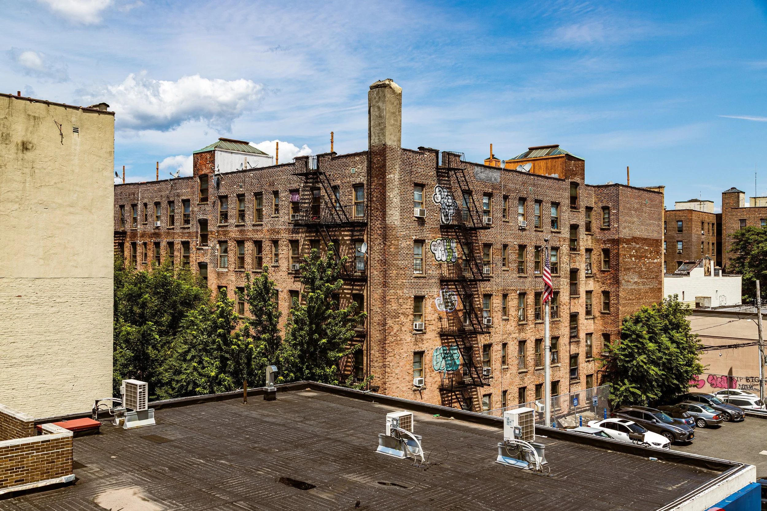
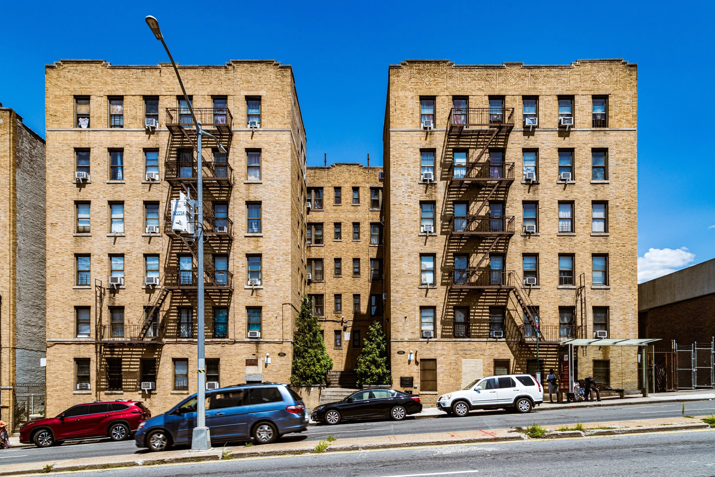
Bounded by East 222nd Street to the south, the Bronx River to the west, Westchester County to the north, and an eastern border running along Bussing Avenue southwest to Bruner Avenue, then southeast to Laconia Avenue, and south again to East 222nd Street, Wakefield marks the Bronx’s northernmost neighborhood—a place where New York City yields to the towns of Mount Vernon and Yonkers. Situated on elevated terrain above the Bronx River valley, Wakefield combines the energy of the city with the spatial rhythms of the suburbs: quiet residential streets lined with two-family homes, Victorian houses, brick rowhomes, and low-rise apartment buildings, interspersed with small churches, schools, and corner groceries that give the area its deeply local character.
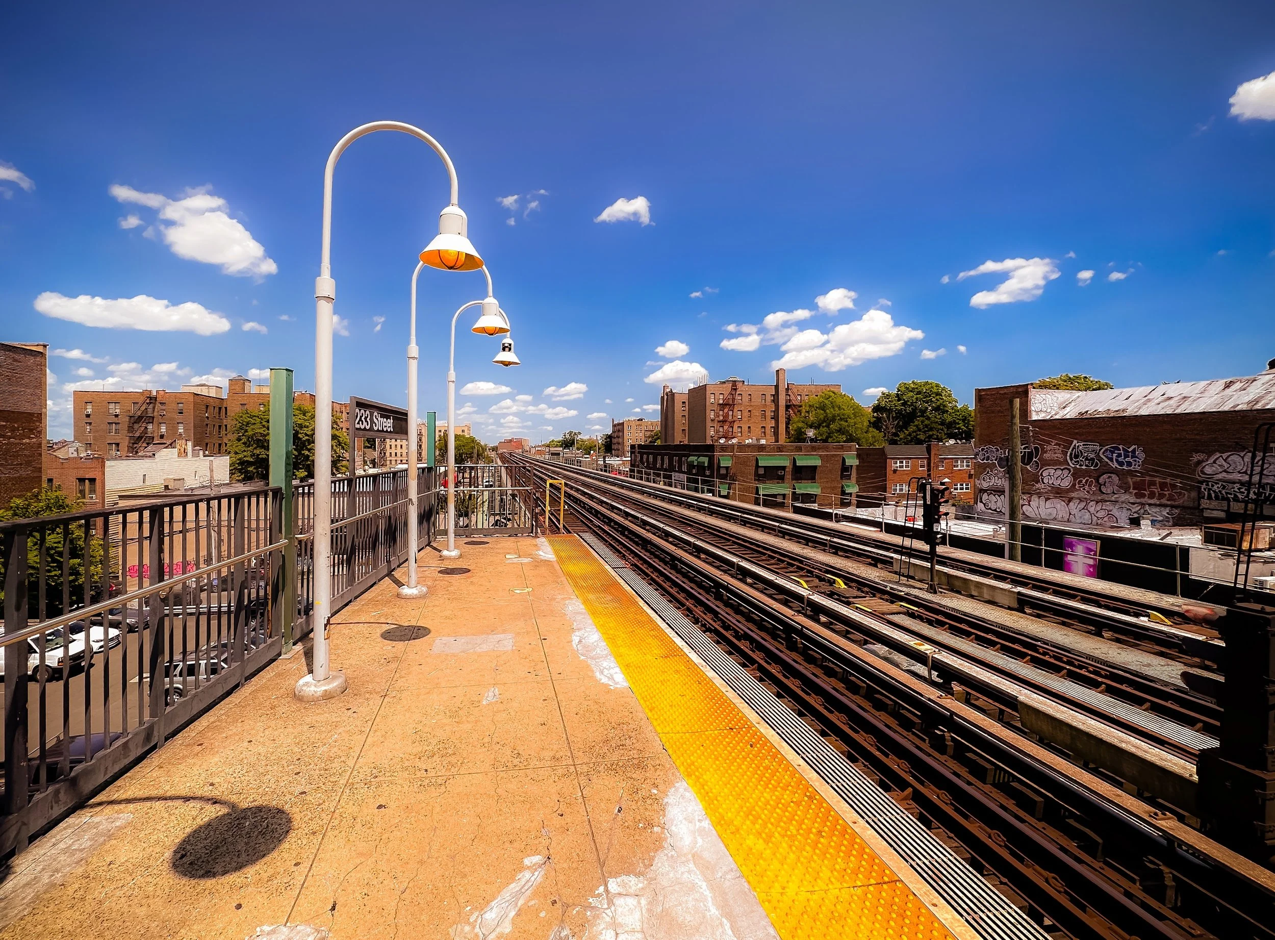
The neighborhood’s main arteries—White Plains Road, Baychester Avenue, East 241st Street, and East 233rd Street—form its lifelines. Along White Plains Road, storefronts hum with daily commerce: West Indian bakeries, bodegas, barber shops, and West African restaurants animate the sidewalks. The 2 and 5 subway lines terminate here at East 241st Street, anchoring the northern end of the IRT system and making Wakefield one of the Bronx’s primary transit gateways. The Bronx River Parkway runs along its western edge, separating the neighborhood from the green expanse of Bronx River Forest and linking it directly to Manhattan and Westchester.
Wakefield’s landscape—open, tree-lined, and gently sloping—has long given it a sense of transition: a meeting ground between city and suburb, between the Bronx’s urban pulse and the wooded calm of its northern borderlands.
Etymology
The name “Wakefield” dates to the late 19th century, inspired by the English town of Wakefield, Yorkshire—a name chosen by early developers seeking to evoke pastoral refinement and suburban dignity. As New York’s population expanded northward after the Civil War, real estate promoters used such Anglophile names to attract middle-class families from Manhattan and downtown Bronx districts, marketing the area as a wholesome alternative to dense city life.
In a deeper sense, “Wakefield” came to signify awakening and new beginnings—an apt metaphor for a neighborhood built at the frontier of the city’s growth. The name has persisted through generations of change, from farmland to streetcar suburb to one of the Bronx’s most culturally dynamic enclaves.
The Neighborhood
Origins through the 19th Century
Before urbanization, the land that would become Wakefield was part of the Town of Yonkers and the Manor of Phillipsburg, later incorporated into Westchester County. Its fertile hills and proximity to the Bronx River made it ideal for agriculture and milling. In the 18th and early 19th centuries, the area was home to scattered farms and woodlots, crossed by the old Boston Post Road and Bronx River Road, which connected lower Westchester to the growing city.
The arrival of the New York and Harlem Railroad (1837) and, later, the Bronx and Mount Vernon Street Railway (1870s) transformed the area’s accessibility. By the 1880s, speculative developers subdivided former farms into residential plots marketed to city commuters. These new subdivisions—initially called “Wakefield Village”—were characterized by modest wood-frame cottages and tree-lined lanes. When the area was formally annexed into New York City in 1895, it represented the northern limit of urban expansion—a frontier settlement at the edge of the metropolis.
Early 20th Century: Suburban Promise and Cultural Formation
In the early 20th century, Wakefield evolved from a rural outpost into a cohesive, middle-class suburb. The completion of the White Plains Road elevated line (1904), connecting the neighborhood directly to Manhattan, accelerated growth. Rows of detached and semi-detached homes sprang up along Carpenter Avenue, Richardson Avenue, and East 233rd Street, their porches and pitched roofs reflecting early suburban ideals of domesticity and self-sufficiency.
The population during this era was largely Irish, Italian, and Jewish, drawn by the affordability and tranquility of the Bronx’s northern reaches. Churches such as St. Frances of Rome (est. 1927) and Our Lady of Grace (est. 1929) became social anchors, while civic organizations and small businesses clustered along White Plains Road. The proximity to Mount Vernon fostered a cross-border relationship: many Wakefield residents worked or shopped in Westchester, reinforcing the neighborhood’s hybrid city-suburban identity.
The Bronx River Parkway, completed in the 1920s, added both beauty and mobility, preserving the natural landscape while connecting Wakefield to the Bronx Zoo, the Botanical Garden, and the wider city.
Wakefield Video Coming Soon
Mid–Late 20th Century: Demographic Transformation and Resilience
Like much of the Bronx, Wakefield underwent dramatic demographic shifts in the mid-20th century. After World War II, many white working-class families relocated to suburban Westchester and Long Island, while new residents—African-American and Caribbean families from Harlem, the southern United States, and the West Indies—moved north seeking affordable housing and safer streets.
By the 1970s, Wakefield had become one of the Bronx’s most vibrant Caribbean communities, particularly for immigrants from Jamaica, Trinidad and Tobago, Barbados, and Grenada. Despite the borough’s broader struggles with disinvestment, arson, and depopulation, Wakefield remained largely stable, buoyed by high rates of homeownership and strong community institutions. The area’s single-family homes and tight-knit blocks fostered social cohesion even as nearby districts suffered decline.
During the 1980s and 1990s, Wakefield’s cultural life flourished: storefront churches and Caribbean restaurants proliferated; local street festivals celebrated reggae, calypso, and gospel traditions; and a new generation of Bronx-born children grew up blending West Indian heritage with New York identity. White Plains Road became a cultural spine, lined with family-run shops and eateries that mirrored the borough’s changing face.
21st Century: Diversity, Stability, and Urban–Suburban Balance
In the 21st century, Wakefield continues to embody the Bronx’s diversity and resilience. Its population now includes Jamaican, Guyanese, Trinidadian, Ghanaian, Nigerian, Bangladeshi, and Latino families, along with a growing number of young professionals seeking affordable housing within reach of Manhattan. The neighborhood remains defined by its mix of detached homes, small apartment buildings, and tree-lined side streets, which give it a distinctively suburban rhythm compared to the Bronx’s denser southern neighborhoods.
Civic and religious life remains robust: organizations such as the Wakefield Taxpayers’ and Civic League, St. Frances of Rome Parish, and numerous Caribbean community associations continue to advocate for neighborhood improvement and youth engagement. Recent investments in Bronx River restoration, park improvements, and transit upgrades have strengthened the community’s connection to the rest of the city, while preserving its quiet, residential identity.
The East 241st Street subway terminal remains both a literal and symbolic endpoint of New York’s transit grid—where the last train of the city meets the calm of the county line.
Wakefield Photo Gallery
Spirit and Legacy
The spirit of Wakefield lies in its constancy amid change. It has remained, for more than a century, a place where families put down roots, where porches face tree-shaded streets, and where the sounds of church choirs and Caribbean drums mingle in the evening air.
Wakefield’s legacy is one of borderland identity—a community shaped by its position at the edge of the city, yet firmly within its heart. It is a neighborhood that reflects the Bronx’s enduring promise: hard work, homeownership, faith, and the blending of cultures into something unmistakably New York.
New York City
Use this custom Google map to explore where every neighborhood in all five boroughs of New York City is located.
The Five Boroughs
One of New York City’s unique qualities is its organization in to 5 boroughs: Manhattan, Brooklyn, Queens, The Bronx, and Staten Island. These boroughs are part pragmatic administrative districts, and part vestiges of the region’s past. Each borough is an entire county in New York State - in fact, Brooklyn is, officially, Kings County, while Staten Island is, officially Richmond County. But that’s not the whole story …
Initially, New York City was located on the southern tip of Manhattan (now the Financial District) that was once the Dutch colony of New Amsterdam. Across the East River, another city was rising: Brooklyn. In time, the city planners realized that unification between the rapidly rising cities would create commercial and industrial opportunities - through streamlined administration of the region.
So powerful was the pull of unification between New York and Brooklyn that three more counties were pulled into the unification: The Bronx, Queens, and Staten Island. And on January 1, 1898, the City of New York unified two cities and three counties into one Greater City of New York - containing the five boroughs we know today.
But because each borough developed differently and distinctly until unification, their neighborhoods likewise uniquely developed. Today, there are nearly 390 neighborhoods, each with their own histories, cultures, cuisines, and personalities - and each with residents who are fiercely proud of their corner of The Big Apple.


