
DONGAN HILLS
Staten Island
Geographic Setting
Bounded by Richmond Road to the northwest, Old Town Road to the north, Quintard Street to the northeast, Mascon and Laconia Avenues to the east, and Jefferson Avenue to the south, Dongan Hills lies along the lower slopes of Staten Island’s central highlands—where the island’s hills descend toward the coastal plain of the South Shore. The neighborhood sits just inland from the shorefront communities of Midland Beach and South Beach, occupying a gently rising landscape shaped by glacial moraine and centuries of settlement.
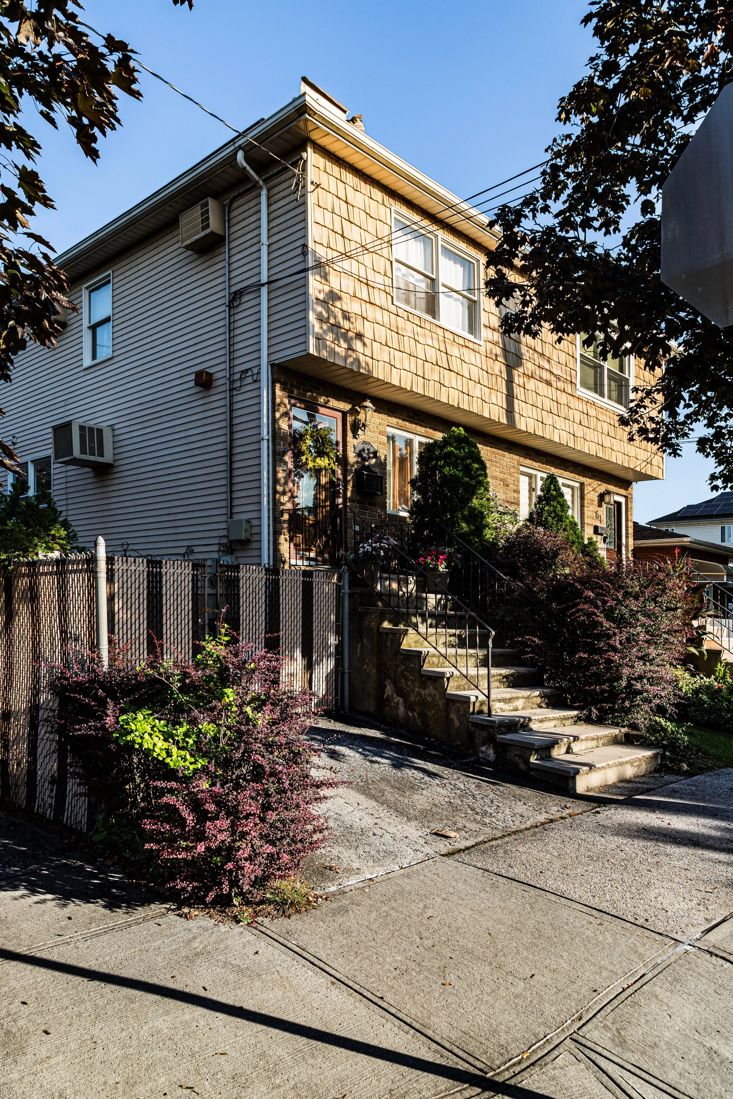
Its terrain defines its character: from the low-lying avenues near Jefferson Avenue that once bordered tidal creeks and wetlands, the ground climbs steadily toward the ridge where Richmond Road, one of Staten Island’s oldest colonial routes, runs along a natural contour. This blend of elevation and accessibility—coupled with proximity to the Staten Island Railway and Hylan Boulevard—has long made Dongan Hills a favored residential district. Within its boundaries, tree-lined streets, postwar bungalows, and colonial revival homes coexist with older Victorian houses and modern infill, all tied together by the modest charm of an established, family-oriented community.
Etymology
The name Dongan Hills honors Thomas Dongan, the 17th-century Irish-born governor of the Province of New York (1683–1688) under King James II. Dongan’s 1683 Charter of Liberties and Privileges established the framework for New York’s colonial government and granted Staten Island its earliest political recognition. The “Hills” portion of the name refers to the prominent ridge that forms part of Staten Island’s central spine, of which this neighborhood is a lower outcropping.
The area adopted the name “Dongan Hills” formally in the early 20th century, when developers sought to evoke both the prestige of colonial heritage and the scenic topography that distinguished it from the flatter lands nearer the shore. The name thus embodies a blend of historical lineage and geographic truth—a nod to governance and landscape alike.
The Neighborhood
Origins through the 19th Century
Before suburban development, the area now known as Dongan Hills was part of the rural Town of Southfield, characterized by farms, orchards, and woodlots extending from the hills down to the marshy shore. The earliest European settlers—Dutch, English, and French Huguenot families—established homesteads along Richmond Road and Old Town Road, two of the oldest continuous thoroughfares on Staten Island. The land’s rich soil and freshwater springs made it ideal for agriculture, while its gentle slopes provided protection from coastal flooding.
By the mid-1800s, the area formed part of the agricultural hinterland supporting nearby seaside settlements such as Old Town and South Beach. The opening of the Staten Island Railway (1860) and station stops at Old Town and Jefferson Avenue connected the area to St. George and the ferry, making it increasingly attractive for residential subdivision.
Although still rural, Dongan Hills began to acquire a distinctive identity in the late 19th century. Large estates and farmhouses dotted the ridge, and modest cottages began appearing along the lower roads near the railway. Early maps record names such as “Hillside” and “Southfield Heights,” precursors to the present name. The combination of scenic views, fresh air, and easy access to the shore marked Dongan Hills as a desirable middle ground between inland village and coastal resort.
Early 20th Century: Suburban Emergence
The early 20th century transformed Dongan Hills from farmland to suburb. The extension of paved roads, the availability of public utilities, and the steady improvement of the Staten Island Railway encouraged rapid residential growth after 1900. Developers advertised new streets laid out between Richmond Road and Jefferson Avenue as ideal for commuters seeking quiet, healthful surroundings.
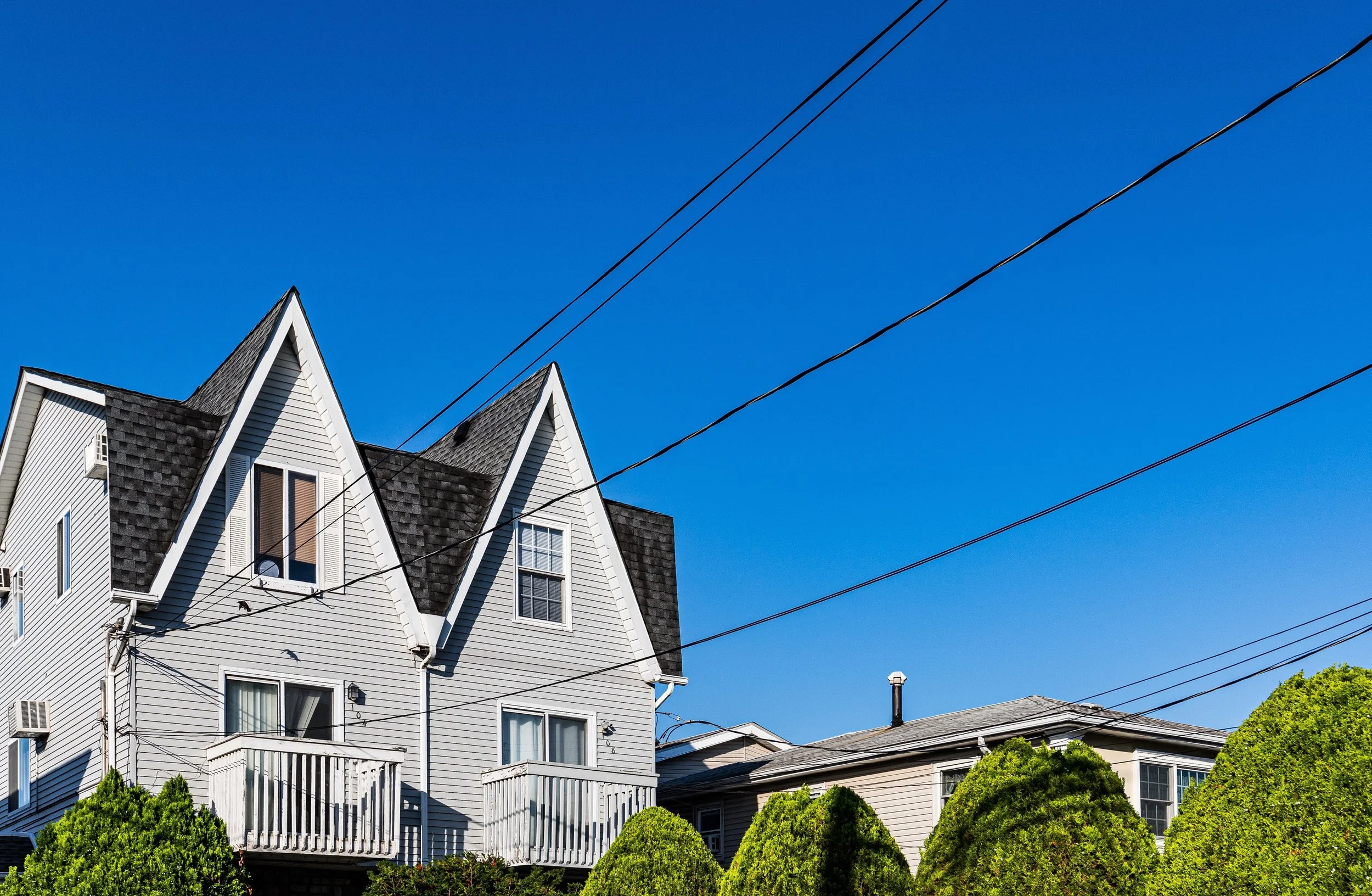
The opening decades of the century saw an architectural mixture typical of Staten Island’s early suburbs: Craftsman bungalows, small colonials, and Tudor cottages built beside older farmhouses. Churches and civic institutions followed—Holy Rosary Church, established in 1922, became a focal point for the neighborhood’s growing Catholic population, while nearby public schools reflected the borough’s demographic boom.
The community’s social fabric was shaped by immigrant families—particularly Italian, Irish, and German Americans—who purchased small plots and built lasting homes. The presence of the nearby Dongan Hills Colony, an exclusive residential development on the elevated slopes to the northwest, lent an additional note of prestige, while the lower-lying areas near Jefferson Avenue remained more modest and working-class in character. Together, they formed a microcosm of Staten Island life: diverse, close-knit, and steadily suburbanizing.
Dongan Hills Video Coming Soon
Mid–Late 20th Century: Expansion and Definition
The post–World War II era marked Dongan Hills’ most significant period of expansion. Returning veterans and city workers, aided by new financing programs and improved roadways, fueled a construction boom in the 1940s and 1950s. Rows of ranch houses, Cape Cods, and split-level homes appeared on newly subdivided streets, replacing remaining farms and woodlots.
The Verrazzano-Narrows Bridge (1964) and Staten Island Expressway cemented Dongan Hills’ role as a commuter neighborhood within greater New York City. Families from Brooklyn and Manhattan relocated here, drawn by affordability, space, and the promise of suburban tranquility within city limits. Local shopping corridors along Hylan Boulevard and Richmond Road thrived, while nearby beaches and parks provided recreation.
Despite suburbanization, Dongan Hills retained its distinct topographical character. The elevated western ridge—known colloquially as Dongan Hills Colony—remained a leafy enclave of large homes and winding drives, while the flatter eastern section closer to Jefferson Avenue evolved into a denser, more urbanized residential grid. Flooding challenges in the lower areas occasionally tested residents’ resilience, but community groups and civic associations worked to maintain infrastructure and neighborhood cohesion.
By the late 20th century, Dongan Hills had come to symbolize the Staten Island ideal: quiet streets, good schools, local parishes, and easy access to both city and sea.
21st Century: Renewal, Diversity, and Resilience
In the 21st century, Dongan Hills continues to balance heritage and change. The neighborhood remains predominantly residential, but demographic shifts have introduced new cultural layers—Eastern European, Asian, and Latino families joining the longstanding Italian and Irish-American core. Many homes have been renovated or expanded, reflecting rising property values and renewed investment.
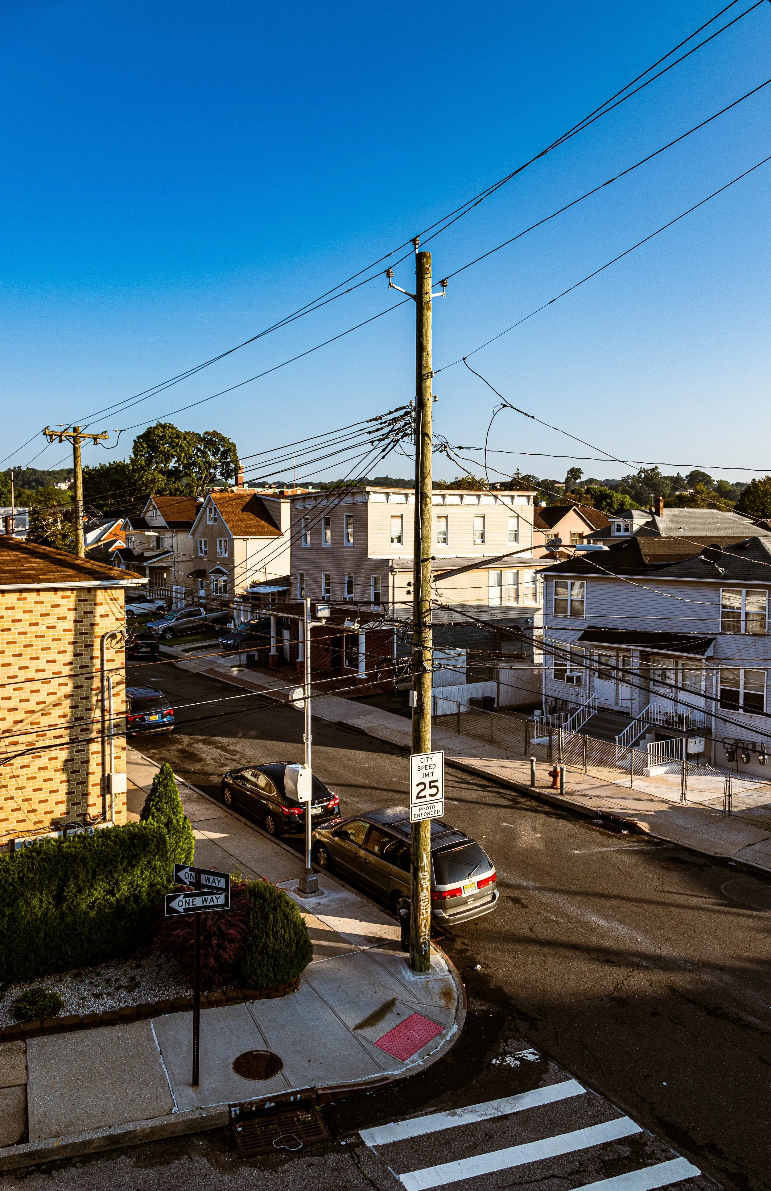
The Staten Island Railway’s Dongan Hills station, located just south of Jefferson Avenue, remains central to daily life, linking the community directly to the ferry and beyond. Retail activity thrives along Hylan Boulevard, with modern stores, restaurants, and small businesses catering to an increasingly diverse population. Meanwhile, flood-mitigation projects and stormwater infrastructure upgrades—especially in the wake of Hurricane Sandy (2012)—have strengthened the neighborhood’s resilience to coastal and inland flooding.
The proximity to both Clove Lakes Park to the northwest and Midland Beach to the southeast gives Dongan Hills a rare dual character: part upland suburb, part coastal neighbor. Its schools, civic associations, and parishes remain active, organizing events that reinforce a sense of place amid the constant motion of Staten Island’s growth.
Dongan Hills Photo Gallery
Spirit and Legacy
The spirit of Dongan Hills is defined by elevation—both literal and figurative. Its slopes rise gently toward Staten Island’s central ridge, and its history ascends from colonial farmland to modern suburbia. The neighborhood’s name, rooted in early governance, reflects a legacy of order and endurance, while its streets reflect generations of perseverance, family, and faith.
Dongan Hills endures as one of Staten Island’s most balanced communities: neither wholly urban nor wholly suburban, but something distinctly its own—a neighborhood where hills, homes, and heritage intertwine.
New York City
Use this custom Google map to explore where every neighborhood in all five boroughs of New York City is located.
The Five Boroughs
One of New York City’s unique qualities is its organization in to 5 boroughs: Manhattan, Brooklyn, Queens, The Bronx, and Staten Island. These boroughs are part pragmatic administrative districts, and part vestiges of the region’s past. Each borough is an entire county in New York State - in fact, Brooklyn is, officially, Kings County, while Staten Island is, officially Richmond County. But that’s not the whole story …
Initially, New York City was located on the southern tip of Manhattan (now the Financial District) that was once the Dutch colony of New Amsterdam. Across the East River, another city was rising: Brooklyn. In time, the city planners realized that unification between the rapidly rising cities would create commercial and industrial opportunities - through streamlined administration of the region.
So powerful was the pull of unification between New York and Brooklyn that three more counties were pulled into the unification: The Bronx, Queens, and Staten Island. And on January 1, 1898, the City of New York unified two cities and three counties into one Greater City of New York - containing the five boroughs we know today.
But because each borough developed differently and distinctly until unification, their neighborhoods likewise uniquely developed. Today, there are nearly 390 neighborhoods, each with their own histories, cultures, cuisines, and personalities - and each with residents who are fiercely proud of their corner of The Big Apple.


