
THROGGS NECK
The Bronx
Geographic Setting
Bounded by the Cross Bronx Expressway and Bruckner Expressway to the north, the Throgs Neck Expressway to the east, Mullan Place and Shurz Avenue to the southeast, the East River to the south, and Westchester Creek to the west, Throggs Neck occupies a long, tapering peninsula extending into the waters of the East River at the southeastern edge of the Bronx. Defined by its maritime geography and its proximity to bridges, bays, and tidal inlets, the neighborhood offers a striking mix of residential calm, historical depth, and coastal identity.
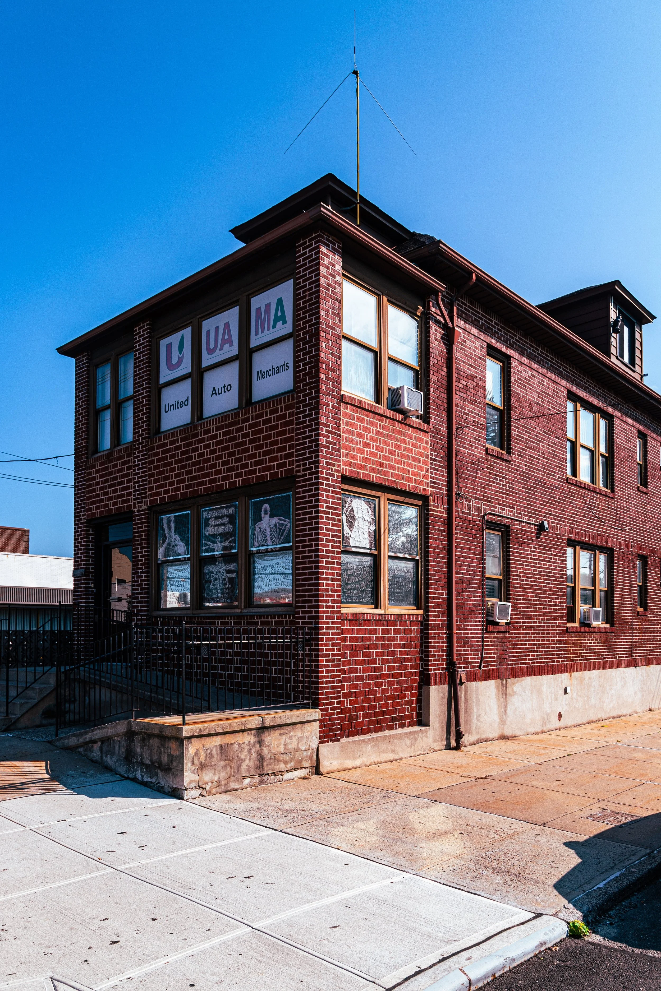
From the highlands near East Tremont Avenue down to the waterfront cul-de-sacs near Pennyfield Avenue, Throggs Neck unfolds as a landscape of detached homes, brick two-family houses, and quiet, tree-lined streets that echo its origins as a small-town enclave. East Tremont Avenue, Throgs Neck Boulevard, and Pennyfield Avenue serve as its main arteries, lined with delis, bakeries, and long-running family businesses. To the east, the Throgs Neck Bridge soars across the water toward Queens, while to the west, Ferry Point Park and Trump Links Golf Course (formerly Ferry Point Golf Course) provide sweeping views of the Manhattan skyline.
Maritime breezes, salt air, and a sense of continuity pervade Throggs Neck—a neighborhood that, though deeply urban, has never lost its coastal village soul.
Etymology
The name “Throggs Neck” (historically spelled Throgs Neck or Throgmorton’s Neck) derives from John Throckmorton, an English settler who, in 1642, received permission from the Dutch authorities of New Netherland to establish a colony at the tip of the peninsula. The Dutch name for the area, “Vriedelandt,” soon gave way to the English adaptation “Throckmorton’s Neck,” later shortened and simplified to “Throgs Neck.”
The possessive spelling “Throggs,” with a double “g,” was introduced by the U.S. Post Office in the early 20th century to reflect the original surname, and though both forms remain in use, the modern neighborhood’s signage and official designation retain the double “g.” Regardless of orthography, the name continues to carry the memory of one of the Bronx’s earliest European settlements—an enduring linguistic bridge between Dutch and English New York.
The Neighborhood
Origins through the 19th Century
Before colonization, the Siwanoy Lenape people inhabited the Throggs Neck peninsula, fishing, hunting, and trading along its tidal creeks and rocky shores. When John Throckmorton and thirty-five English families established their settlement here in 1642, the area became one of the earliest points of contact between European settlers and the native inhabitants of the Bronx. The colony was short-lived: within a year, conflict between settlers and local tribes—sparked by the broader Kieft’s War—led to its destruction.
By the 18th century, the peninsula had evolved into an agricultural district under British colonial control. Large estates and family farms dotted the landscape, producing hay, dairy, and vegetables for New York markets. The Ferry Point area operated as a key crossing point to Queens and Long Island, while the deep natural inlets along Westchester Creek and the East River supported small-scale shipbuilding and trade.
During the American Revolution, Throggs Neck played a strategic role. In 1776, British troops attempted to advance toward Manhattan through the peninsula but were repelled by American forces under General William Heath, who successfully defended the narrow causeway—an early Bronx episode in the nation’s war for independence.
Through the 19th century, Throggs Neck retained its rural and maritime character. Wealthy New Yorkers built summer homes overlooking the East River, while small hamlets and fishing villages grew near today’s Pennyfield Avenue and Schurz Avenue. The establishment of Fort Schuyler (1833–1856) at the peninsula’s tip—named for Revolutionary War general Philip Schuyler—cemented the area’s military significance. The fort’s construction and subsequent use as the New York State Merchant Marine Academy (later the State University of New York Maritime College) gave the neighborhood both a landmark and a lasting educational institution.
Early 20th Century: From Farmland to Suburbia
The early 20th century brought urbanization to Throggs Neck as the Bronx consolidated into New York City (1898) and the borough’s grid extended eastward. The construction of Eastern Boulevard (Bruckner Boulevard) and the Pelham Bay Parkway system improved access to the area, attracting families seeking suburban life within city limits.
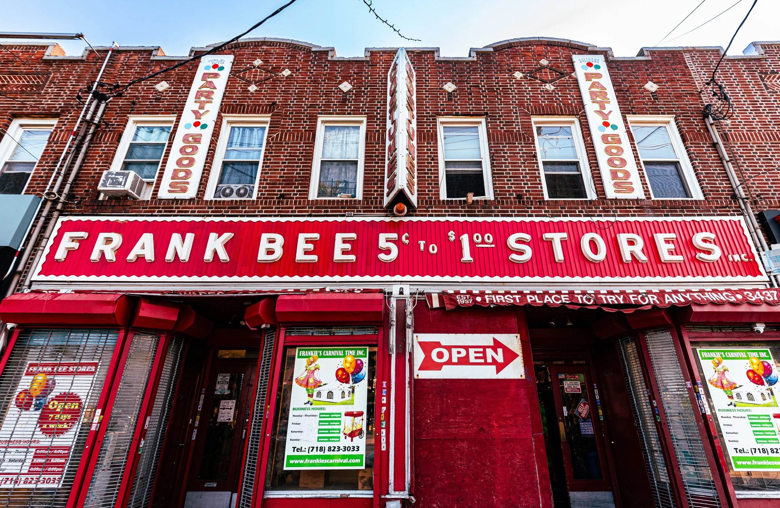
Between 1910 and 1930, developers subdivided farmland into modest residential tracts, promoting Throggs Neck as a “seaside suburb of the Bronx.” Bungalow-style homes, two-story brick houses, and small apartment buildings filled the peninsula, while commercial hubs emerged along East Tremont Avenue and Crosby Avenue.
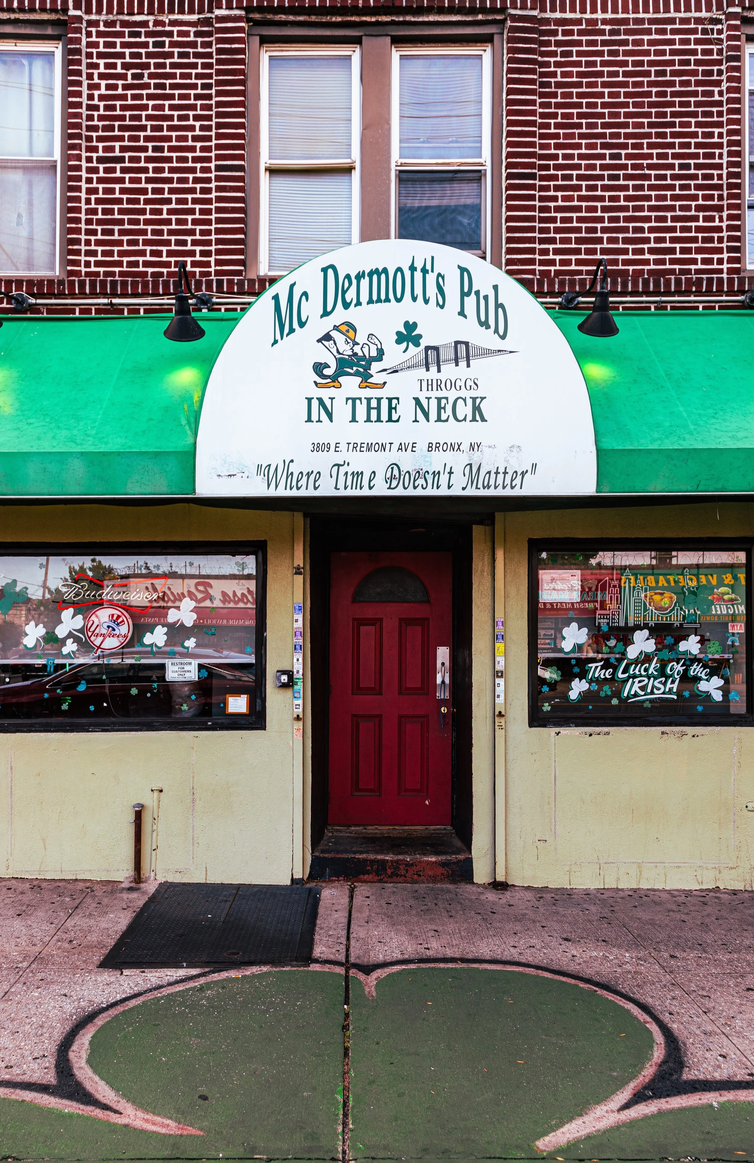
The completion of the Fort Schuyler Bridge (1938) and the Throgs Neck Bridge (1961) connected the neighborhood to Queens and Long Island, ushering in a new era of mobility and prosperity. Postwar veterans and middle-class families—many of Italian, Irish, and Jewish descent—made Throggs Neck home, drawn by its relative affordability, good schools, and proximity to the water. Churches such as St. Benedict’s and Our Lady of the Assumption became community anchors, while the local civic associations worked to maintain the area’s low-rise character.
Throggs Neck Video Coming Soon
Mid–Late 20th Century: Community and Continuity
Through the 1950s–1980s, Throggs Neck remained one of the Bronx’s most stable and tight-knit neighborhoods. While other parts of the borough suffered from disinvestment and decline, Throggs Neck’s strong homeownership base and active civic organizations—such as the Throggs Neck Homeowners Association—preserved its quality of life.
The neighborhood’s demographic composition evolved gradually, welcoming new Puerto Rican, Dominican, and later Albanian families, while retaining its core of Italian-American residents. Small businesses thrived along East Tremont Avenue, maintaining the feel of a self-contained town. The Fort Schuyler campus of SUNY Maritime College, with its training vessels and marine engineering programs, remained a distinctive local landmark and symbol of continuity, connecting the peninsula to its seafaring past.
The Bruckner Expressway, completed in the 1960s, divided parts of the northern neighborhood but also improved connectivity to the rest of the city. Despite the era’s urban challenges, Throggs Neck avoided the arson and abandonment that devastated much of the South Bronx—a testament to the neighborhood’s cohesive social fabric.
21st Century: Waterfront Renewal and Enduring Identity
In the 21st century, Throggs Neck has reaffirmed its identity as a middle-class waterfront community. Rising property values, new housing construction, and infrastructure improvements have brought change, but the neighborhood remains deeply residential. Its quiet blocks and tight-knit spirit distinguish it from denser Bronx districts.
Ferry Point Park, once derelict industrial land, has been transformed into a major recreational destination featuring Trump Links at Ferry Point (opened 2015), walking trails, and a riverfront promenade with sweeping views of the Manhattan skyline. SUNY Maritime College continues to train cadets from around the world, while its Fort Schuyler Museum preserves the maritime history of both the Bronx and New York Harbor.
Demographically, Throggs Neck today reflects the Bronx’s diversity: long-established Italian and Irish families live alongside growing Latino, Caribbean, and South Asian populations. Yet a strong tradition of civic participation—block associations, parades, and church festivals—preserves the neighborhood’s sense of continuity.
Throggs Neck Photo Gallery
Spirit and Legacy
The spirit of Throggs Neck lies in its enduring balance of water, history, and community. It is a place where maritime heritage meets metropolitan life, where homeowners still sweep their sidewalks at dawn, and where the smell of salt air mingles with that of fresh bread from local bakeries.
From its colonial origins under John Throckmorton to its 21st-century identity as a thriving coastal enclave, Throggs Neck has remained true to its geography: a proud peninsula at the city’s edge, facing the tides and the horizon alike. At sunset, when the Throgs Neck Bridge glows against the darkening water and gulls circle above the shore, the neighborhood feels timeless—a living harbor of resilience, tradition, and Bronx pride.
New York City
Use this custom Google map to explore where every neighborhood in all five boroughs of New York City is located.
The Five Boroughs
One of New York City’s unique qualities is its organization in to 5 boroughs: Manhattan, Brooklyn, Queens, The Bronx, and Staten Island. These boroughs are part pragmatic administrative districts, and part vestiges of the region’s past. Each borough is an entire county in New York State - in fact, Brooklyn is, officially, Kings County, while Staten Island is, officially Richmond County. But that’s not the whole story …
Initially, New York City was located on the southern tip of Manhattan (now the Financial District) that was once the Dutch colony of New Amsterdam. Across the East River, another city was rising: Brooklyn. In time, the city planners realized that unification between the rapidly rising cities would create commercial and industrial opportunities - through streamlined administration of the region.
So powerful was the pull of unification between New York and Brooklyn that three more counties were pulled into the unification: The Bronx, Queens, and Staten Island. And on January 1, 1898, the City of New York unified two cities and three counties into one Greater City of New York - containing the five boroughs we know today.
But because each borough developed differently and distinctly until unification, their neighborhoods likewise uniquely developed. Today, there are nearly 390 neighborhoods, each with their own histories, cultures, cuisines, and personalities - and each with residents who are fiercely proud of their corner of The Big Apple.


