MALBA
Queens
Geographic Setting
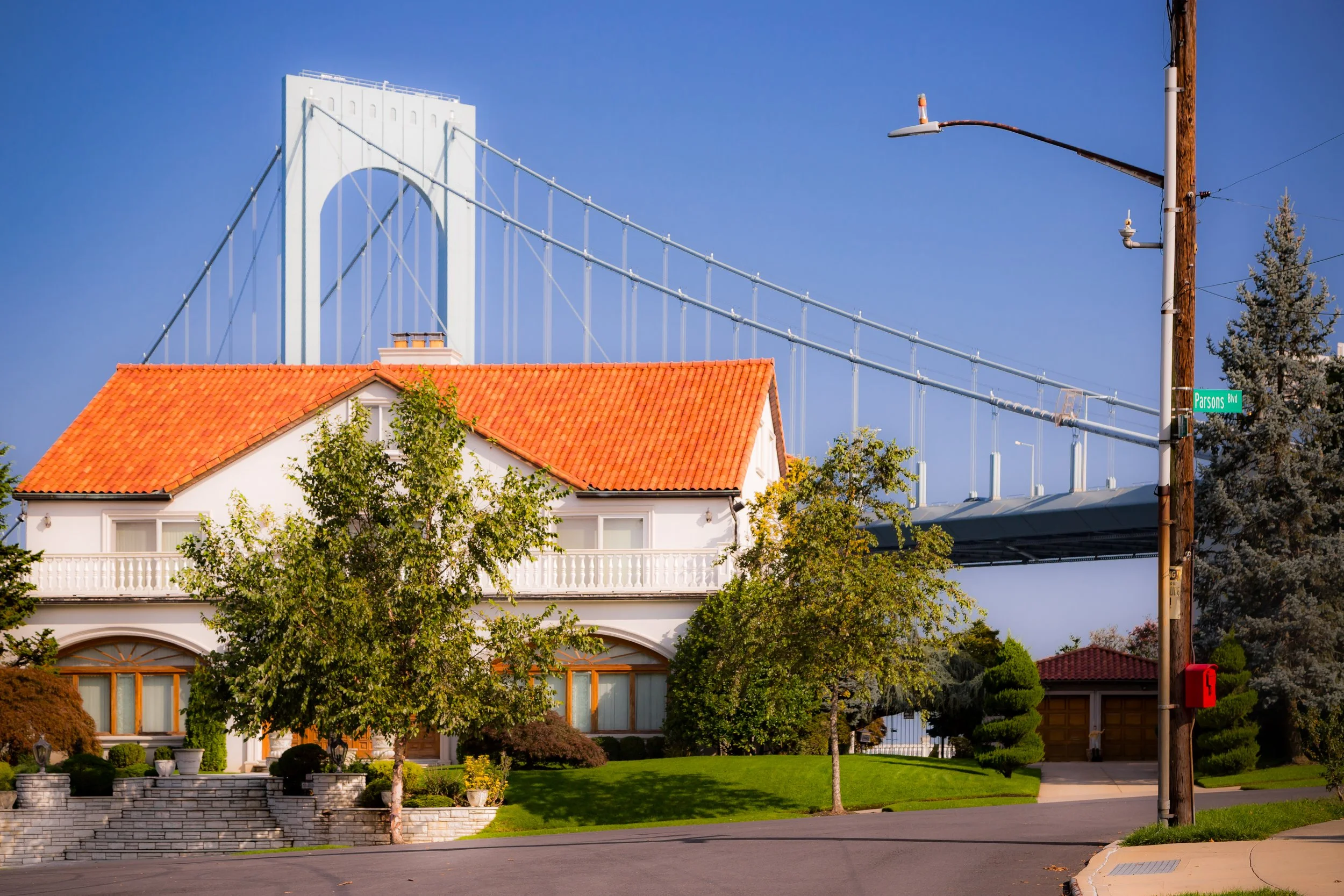
Bounded by the Whitestone Expressway to the east, 15th Avenue to the south, 138th Street to the west, and the Powell Cove inlet of the East River to the north, Malba occupies a secluded waterfront peninsula on the north shore of Queens—a verdant, highly exclusive residential enclave distinguished by its manicured lawns, winding streets, and panoramic views of Powell’s Cove and the Whitestone Bridge. Wedged between Whitestone and College Point, Malba represents one of the borough’s most affluent and architecturally distinctive communities, with a character that feels far removed from the surrounding urban density.
The neighborhood’s topography is gently rolling, descending toward the shoreline where wetlands, coves, and tidal meadows once dominated the landscape. Curving residential streets such as Malba Drive, Pocono Street, and Powell’s Cove Boulevard follow the contours of the peninsula rather than the city grid, preserving the sense of a private suburban retreat. The housing stock—an array of Mediterranean villas, Colonial revivals, modern mansions, and Tudor-style estates—sits on expansive lots, each framed by mature trees and landscaped gardens. With no commercial zoning and limited through-traffic, Malba remains one of the quietest neighborhoods in all of New York City.
The Whitestone Expressway and Cross Island Parkway, which run just east and south of the enclave, provide swift access to Manhattan and Long Island, but within Malba’s borders, the sound of traffic fades beneath the rustle of leaves and the cry of seabirds.
Etymology and Origins
The name “Malba” is an acronym derived from the first initials of the five original developers of the neighborhood: Maycock, Alling, Lewis, Bishop, and Avis. These men formed the Malba Land Company around 1908 with the intention of transforming a remote section of the old Town of Whitestone into a planned residential park for New York’s early 20th-century professional elite.
Prior to development, the area was known as Powell’s Cove, named for Thomas Powell, a 17th-century settler who owned vast tracts of land along the Flushing Bay shoreline. For two centuries, the region remained largely rural—composed of farms, orchards, and tidal marshes. By the late 19th century, as nearby College Point and Whitestone began to urbanize, Powell’s Cove still offered pastoral scenery and open water views attractive to wealthy city dwellers seeking refuge from industrial life.
In 1908, the Malba Land Company purchased approximately 300 acres of this land and set out to create one of Queens’ first planned suburban enclaves. Their design followed the “garden suburb” principles fashionable at the time: curvilinear roads, deed restrictions to maintain aesthetic harmony, and large lots oriented toward sunlight and water views. The resulting plan—combined with strict zoning to exclude commercial or industrial use—ensured that Malba would remain a residential sanctuary.
The Neighborhood
Early 20th Century: A Waterfront Suburb of Distinction
By the 1910s, Malba had earned a reputation as one of New York City’s most desirable suburban developments. Early advertisements promoted it as “The Riverside Suburb of Distinction—20 minutes from the city and 100 years from its noise.” Grand homes in Colonial Revival, Mediterranean, and Arts and Crafts styles rose along Malba Drive, many designed by noted architects who adapted country house ideals to the waterside setting. The neighborhood attracted business executives, judges, and artists seeking privacy within reach of Manhattan.
The nearby Flushing–Whitestone corridor, then connected by the trolley and later the Whitestone Bridge (opened 1939), provided easy access to commerce while preserving the enclave’s sense of detachment. Gardens, stone gates, and ornamental street lamps were maintained by the Malba Association, founded in 1912, which continues to serve as one of Queens’ oldest and most active homeowners’ associations. Its charter guaranteed the neighborhood’s defining features: no businesses, no multi-family dwellings, and no billboards—regulations still in effect today.
Malba’s waterfront location also shaped its identity. Residents enjoyed private boating, swimming, and clamming in Powell’s Cove, which remained pristine through much of the early 20th century. Photographs from the 1920s show manicured lawns sweeping down to docks and sandy shorelines—a vision of domestic affluence framed by the bay’s tidal light.
Mid-20th Century: Isolation, Modernization, and Prestige
The construction of the Whitestone Bridge (1939) and Whitestone Expressway (1940s–1950s) altered Malba’s surroundings without compromising its exclusivity. Though the bridge’s approach skirts its eastern boundary, the enclave’s internal road layout—designed with only two main entrances—kept through-traffic out. The Malba Association successfully lobbied for green buffers and sound barriers, preserving the neighborhood’s park-like setting even as regional infrastructure modernized.
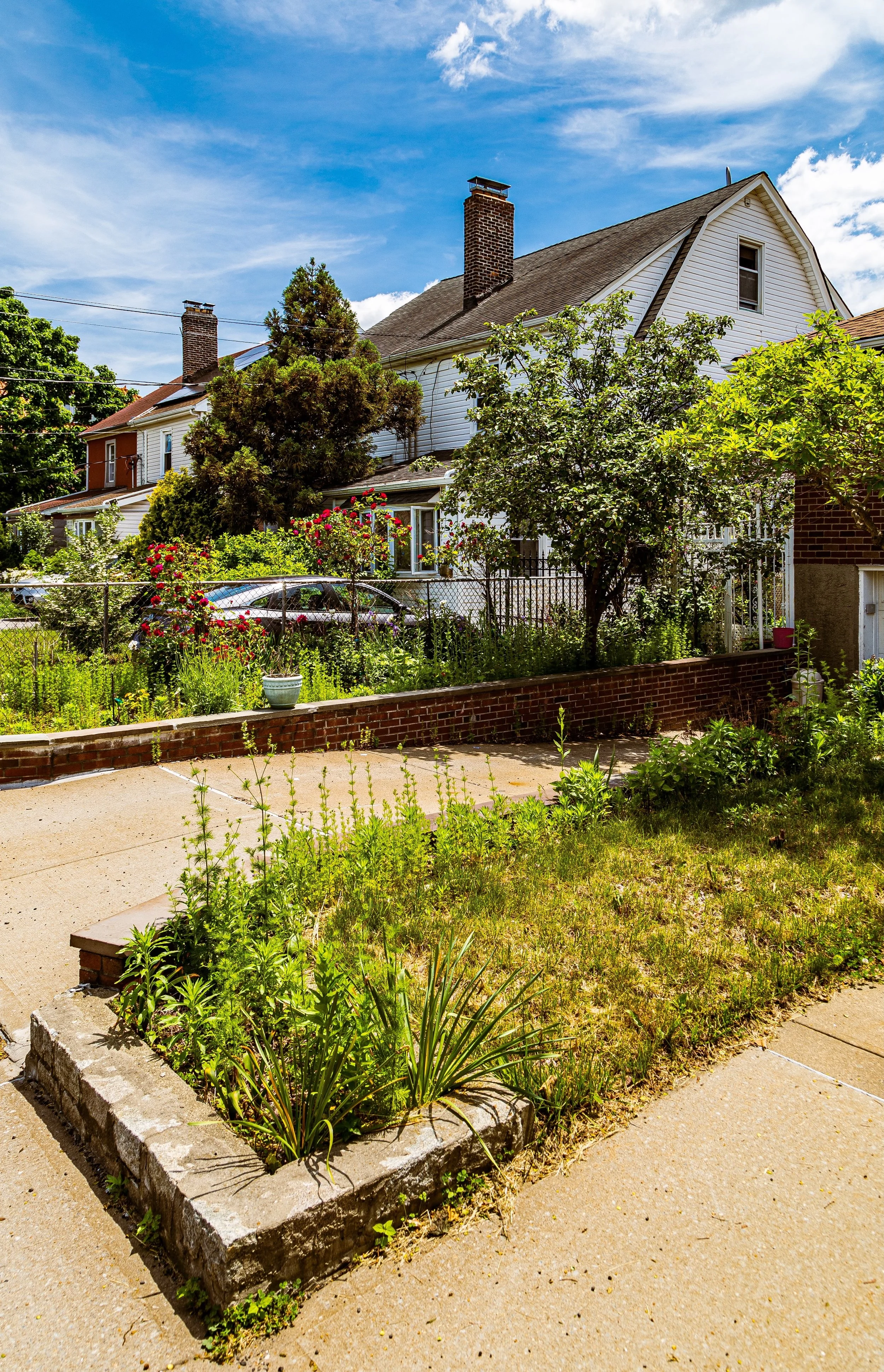
Postwar prosperity brought a new generation of residents, many of them professionals and entrepreneurs of diverse backgrounds. During this period, some older estates were replaced by modern ranches or split-level homes, yet the community’s architectural cohesion remained intact thanks to the association’s oversight. Landscaping and tree planting programs maintained the neighborhood’s green canopy, while the absence of sidewalks and streetlights enhanced the semi-rural ambiance that continues to define Malba today.
Throughout the second half of the 20th century, Malba’s reputation as one of Queens’ most prestigious addresses endured. Unlike nearby Whitestone and College Point, it experienced little demographic or structural upheaval; its limited housing stock and high property values naturally restricted large-scale change.
Malba Video Coming Soon
21st Century: A Quiet Waterfront Enclave in a Global City
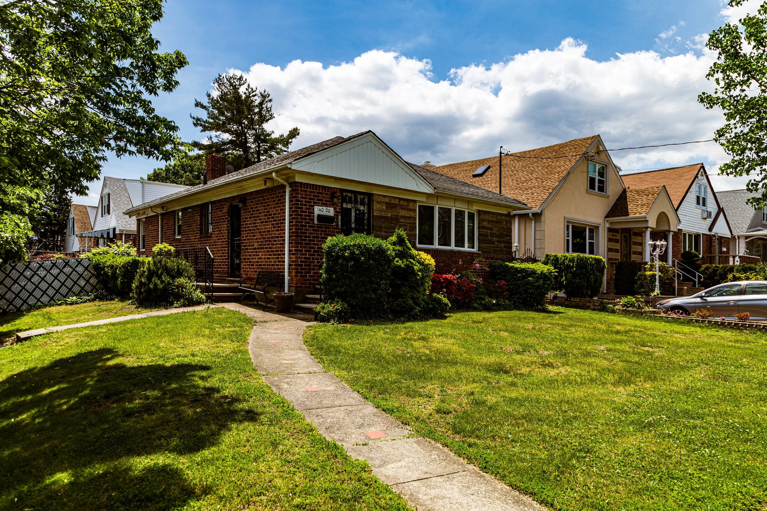
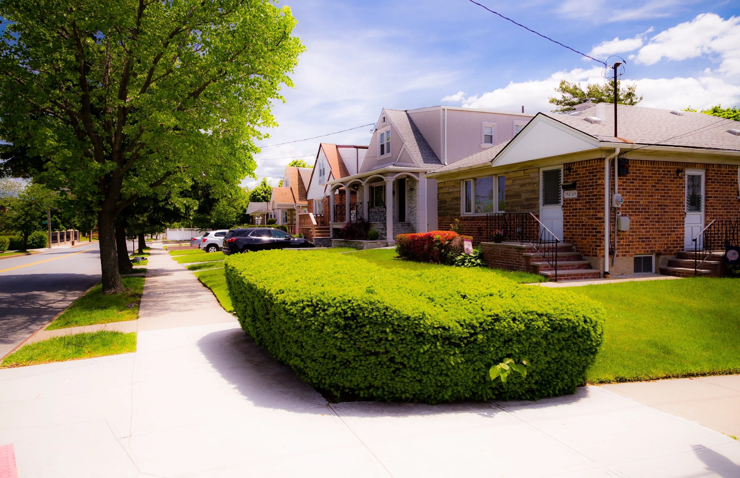
In the 21st century, Malba remains a rare pocket of tranquility within New York City—a waterfront village of less than 400 homes, many of them now multimillion-dollar estates. The area’s demographics reflect Queens’ cosmopolitan character, with families of Italian, Greek, Jewish, Chinese, and South Asian descent all represented among its long-term residents. While some original early 20th-century homes have been replaced by larger, custom-built residences, strict zoning and vigilant civic oversight ensure that new construction respects the neighborhood’s aesthetic harmony and scale.
The community continues to be governed by the Malba Association, which manages security, landscaping, and local regulations. Powell’s Cove Park, located just north of Malba Drive, provides a protected waterfront ecosystem where reeds, egrets, and salt marsh grasses thrive—a remnant of the tidal wetlands that once covered the entire shoreline. Recent environmental initiatives have focused on shoreline stabilization and water quality restoration, blending private affluence with public ecological responsibility.
Residents enjoy proximity to both Flushing’s cultural core and Bayside’s commercial conveniences, yet Malba itself retains no commercial activity, ensuring a calm, village-like character. The area’s only public institutions are its streets, trees, and the occasional waterfront vista—elements that together define a way of life centered on privacy, order, and natural beauty.
Unfortunately, little neighborhood was thrust into an international spotlight, following a wild and violent scene that unfolded in the early morning hours of Sunday, November 23, 2025. According to The Gothamist, a gang of street racers descended onto the sleepy neighborhood and, when confronted by residents, the neighborhood invaders erupted into violent display that included a physical assault and the setting of a car on fire. It may seem, to outsiders, that this is just another day in the life of the Big Apple. But the apocalyptic images of the event are a stark contrast to Malba’s bucolic beauty and atmosphere.
Malba Photo Gallery
Spirit and Legacy
Malba’s legacy lies in its enduring realization of a dream first imagined in 1908: a suburban retreat within the boundaries of the city. It remains one of Queens’ most carefully preserved neighborhoods, where architecture, landscape, and community stewardship converge to create an enclave of timeless distinction.
New York City
Use this custom Google map to explore where every neighborhood in all five boroughs of New York City is located.
The Five Boroughs
One of New York City’s unique qualities is its organization in to 5 boroughs: Manhattan, Brooklyn, Queens, The Bronx, and Staten Island. These boroughs are part pragmatic administrative districts, and part vestiges of the region’s past. Each borough is an entire county in New York State - in fact, Brooklyn is, officially, Kings County, while Staten Island is, officially Richmond County. But that’s not the whole story …
Initially, New York City was located on the southern tip of Manhattan (now the Financial District) that was once the Dutch colony of New Amsterdam. Across the East River, another city was rising: Brooklyn. In time, the city planners realized that unification between the rapidly rising cities would create commercial and industrial opportunities - through streamlined administration of the region.
So powerful was the pull of unification between New York and Brooklyn that three more counties were pulled into the unification: The Bronx, Queens, and Staten Island. And on January 1, 1898, the City of New York unified two cities and three counties into one Greater City of New York - containing the five boroughs we know today.
But because each borough developed differently and distinctly until unification, their neighborhoods likewise uniquely developed. Today, there are nearly 390 neighborhoods, each with their own histories, cultures, cuisines, and personalities - and each with residents who are fiercely proud of their corner of The Big Apple.


