CROWN HEIGHTS
Brooklyn
Geographic Setting
Bounded by Atlantic Avenue to the north and Empire Boulevard to the south, and stretching from Washington Avenue on the west to Ralph Avenue on the east, Crown Heights occupies the broad central spine of Brooklyn—a neighborhood of striking topography, architectural grace, and cultural complexity. Rising gently from the lowlands of Bedford-Stuyvesant toward the ridge of Eastern Parkway, its “crown” refers both to its elevated terrain and to its once-lofty status as one of Brooklyn’s premier residential districts. Today, it remains one of the borough’s most historically layered communities—where Beaux-Arts grandeur, Caribbean vibrancy, and Hasidic devotion converge in a living dialogue that reflects the evolution of Brooklyn itself.
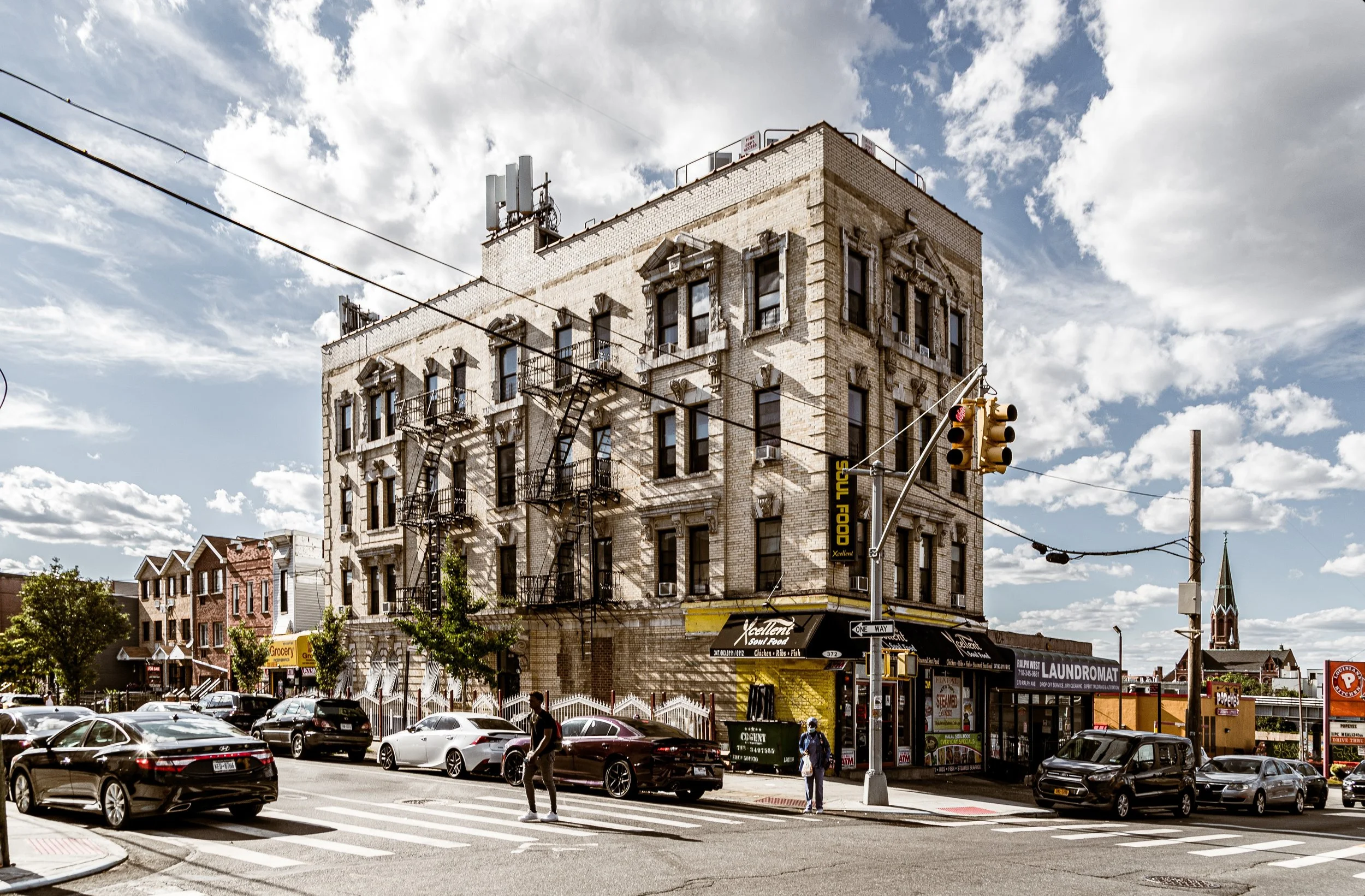
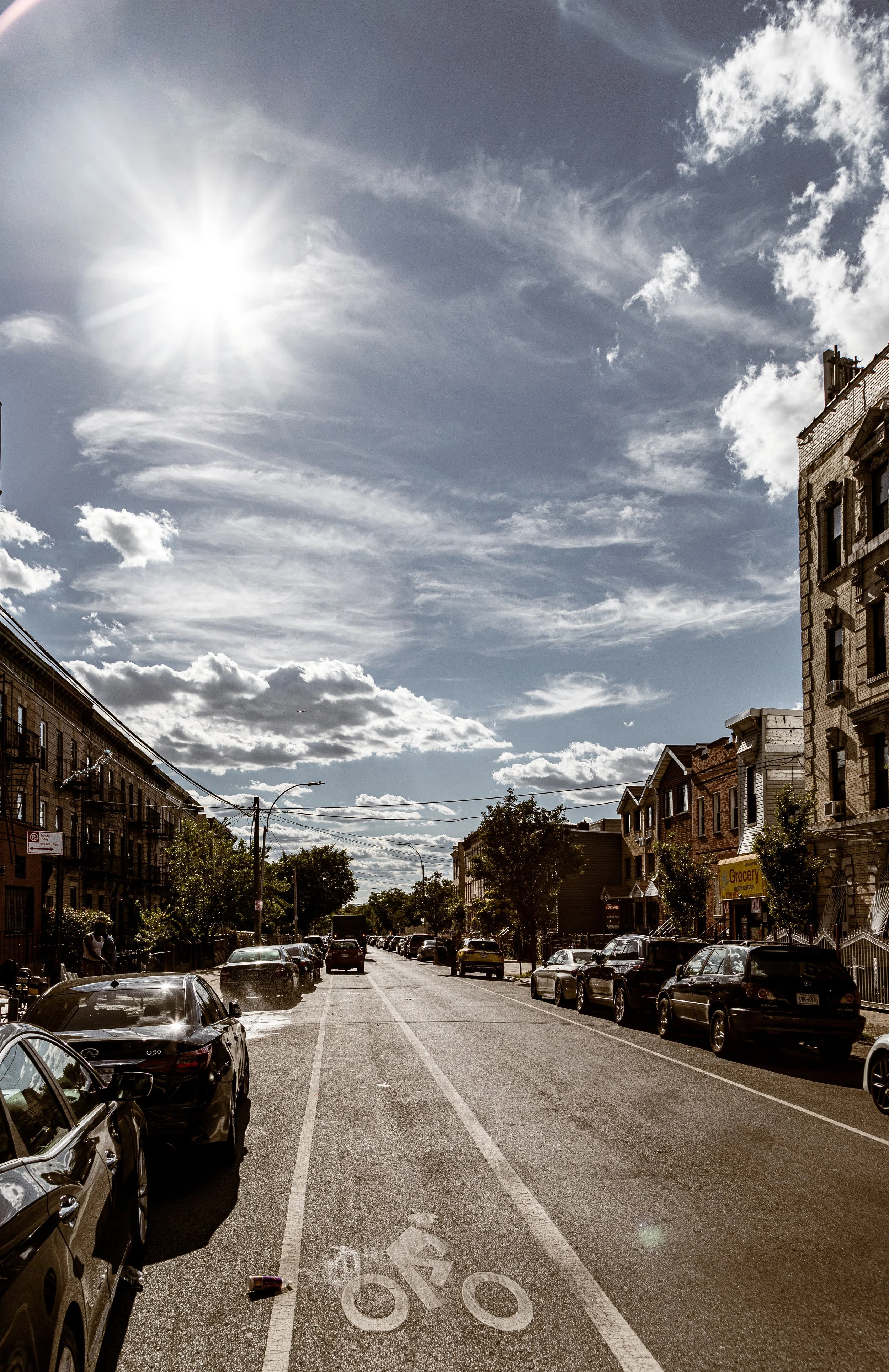
The neighborhood’s landscape is defined by Eastern Parkway, the tree-lined boulevard designed in the 1860s by Frederick Law Olmsted and Calvert Vaux as part of Brooklyn’s greenbelt connecting Prospect Park to Ralph Avenue. Along this grand artery stand some of the city’s finest cultural institutions: the Brooklyn Museum, the Brooklyn Botanic Garden, and the Brooklyn Public Library’s Eastern Parkway branch. Radiating north and south, stately brownstone blocks transition into more modest rowhouses, prewar apartment buildings, and commercial corridors such as Nostrand Avenue, Utica Avenue, and Kingston Avenue—each animated by distinct communities and traditions.
Etymology and Origins
Crown Heights derives its name from its elevation—once known as “Crown Hill”—which offered sweeping views across the borough toward the harbor. Before urbanization, the area formed part of the rural Town of Flatbush, its fields worked by Dutch farmers from the 17th century onward. Early roads like Nostrand, Rogers, and Utica Avenues trace the boundaries of those colonial farms.
The neighborhood’s transformation began in the late 19th century, when the expansion of Eastern Parkway (1870) and the construction of trolley lines and elevated railways opened the area to development. The name “Crown Heights” came into common use in the 1890s, signaling the district’s aspiration toward elegance and order—a suburban ideal within the urban fabric.
The Neighborhood
19th Century: The Parkway Suburb
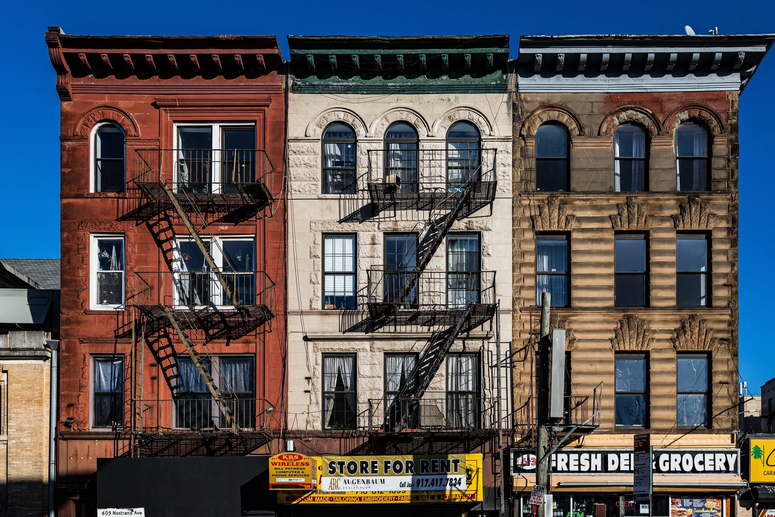
By the 1880s–1890s, Crown Heights had become a showcase of late Victorian and early 20th-century architecture. Wealthy merchants and professionals built spacious limestone and brownstone rowhouses along St. Marks Avenue, Dean Street, and President Street, as well as freestanding mansions near the western edge along Eastern Parkway and Brooklyn Avenue. The design aesthetic ranged from Romanesque Revival to Renaissance Revival and Neo-Grec, with elaborate stoops, stained-glass transoms, and decorative cornices that spoke to an age of optimism and civic pride.
The neighborhood’s planners envisioned a residential enclave of stability and refinement. Eastern Parkway, America’s first true parkway, embodied this ambition—an Olmstedian boulevard of trees and promenades dividing carriage lanes, where Sunday strolls became a ritual of gentility. By the turn of the century, the area rivaled Park Slope and Prospect Heights as one of Brooklyn’s most desirable addresses. Churches, schools, and cultural clubs flourished, while the completion of the Brooklyn Museum (1897) cemented its status as the borough’s cultural crown.
Early–Mid 20th Century: Expansion and Transition
In the early 20th century, Crown Heights remained a bastion of middle- and upper-middle-class life. Many residents were Jewish, Italian, and Irish families moving eastward from Brownsville and Williamsburg. Grand apartment buildings rose along Eastern Parkway and Nostrand Avenue, marketed as modern alternatives to Manhattan’s crowded tenements. The neighborhood’s diverse houses of worship—including Ebbets Field’s nearby crowds of baseball fans—gave it a vibrant civic rhythm.
By the 1930s–1940s, Crown Heights had become the center of Brooklyn’s Jewish life. Synagogues, kosher butchers, and Yiddish bakeries lined Kingston and Albany Avenues, while professionals and shopkeepers filled the new Art Deco co-ops near Franklin Avenue. The Lubavitch Hasidic movement, led by Rabbi Yosef Yitzchak Schneersohn and later Rabbi Menachem Mendel Schneerson, established its headquarters at 770 Eastern Parkway in 1940—a modest brownstone that would become one of the most important sites of postwar Jewish life worldwide.
After World War II, the opening of the I.N.D. subway lines and the rise of suburbanization began to shift demographics. African American and Caribbean families, many from Harlem and the American South, began settling in Crown Heights as restrictive covenants and segregation laws were challenged. Real estate practices such as blockbusting accelerated the transition, often pitting neighbors against one another and eroding trust. By the 1960s, Crown Heights had become a majority Black and West Indian neighborhood, even as the Hasidic community around 770 remained.
Neighborhood Video Coming Soon
Late 20th Century: Conflict and Community Resilience
The 1970s–1980s brought both crisis and cultural endurance. Economic decline, disinvestment, and the lingering scars of redlining took their toll, while crime and poverty rose across Brooklyn. Yet Crown Heights remained vibrant in spirit, sustained by its dense web of churches, storefronts, and family-owned businesses. Nostrand and Utica Avenues pulsed with reggae, calypso, and gospel; local bakeries filled with the scent of patties and roti; and each Labor Day, the neighborhood hosted the now-legendary West Indian American Day Parade, founded in the 1960s and drawing millions to Eastern Parkway in a celebration of Caribbean pride and unity.
However, tensions between Black and Jewish residents occasionally flared amid the pressures of urban inequality. The 1991 Crown Heights Riots, sparked by a tragic traffic accident and fanned by years of mistrust, marked one of the city’s most painful racial flashpoints. In the aftermath, both communities—through local leaders, clergy, and grassroots organizations—undertook extensive reconciliation efforts. Civic groups like the Crown Heights Mediation Center and the Crown Heights Jewish Community Council emerged from that era, determined to rebuild bridges through dialogue, youth programs, and shared neighborhood initiatives.
21st Century: Heritage, Renewal, and Coexistence
In the 21st century, Crown Heights has entered a new era of transformation and self-definition. Its historic brownstones, once undervalued, have become among Brooklyn’s most coveted. Along Franklin Avenue, boutique cafés, restaurants, and art galleries coexist with long-standing Caribbean groceries and Pentecostal churches. Gentrification has brought both economic investment and deep anxiety over displacement—a familiar story across the borough.
Yet Crown Heights remains remarkably multifaceted. The Hasidic community, centered around 770, continues to anchor the neighborhood spiritually and internationally, drawing pilgrims from across the globe. Simultaneously, Caribbean cultural institutions, from the West Indian American Day Carnival Association to steel drum schools and food festivals, preserve the rhythms of the diaspora. Eastern Parkway, with its rows of London plane trees and panoramic sweep, still serves as the neighborhood’s unifying artery—Brooklyn’s civic boulevard and stage for its grandest annual celebration of heritage.
Environmental and educational initiatives—such as the Weeksville Heritage Center nearby (commemorating one of the first free Black communities in America)—link the neighborhood’s present struggles to its historical legacy of self-determination.
Crown Heights Photo Gallery
Spirit and Legacy
Crown Heights’ legacy is one of convergence and complexity. It has been home to millionaires and immigrants, rabbis and revelers, reformers and revivalists. It has known both division and reconciliation, decline and rebirth. Yet through every upheaval, it has remained distinctly itself: a neighborhood defined not by uniformity but by coexistence, where faith, family, and culture intersect beneath the canopy of Eastern Parkway’s elms.
New York City
Use this custom Google map to explore where every neighborhood in all five boroughs of New York City is located.
The Five Boroughs
One of New York City’s unique qualities is its organization in to 5 boroughs: Manhattan, Brooklyn, Queens, The Bronx, and Staten Island. These boroughs are part pragmatic administrative districts, and part vestiges of the region’s past. Each borough is an entire county in New York State - in fact, Brooklyn is, officially, Kings County, while Staten Island is, officially Richmond County. But that’s not the whole story …
Initially, New York City was located on the southern tip of Manhattan (now the Financial District) that was once the Dutch colony of New Amsterdam. Across the East River, another city was rising: Brooklyn. In time, the city planners realized that unification between the rapidly rising cities would create commercial and industrial opportunities - through streamlined administration of the region.
So powerful was the pull of unification between New York and Brooklyn that three more counties were pulled into the unification: The Bronx, Queens, and Staten Island. And on January 1, 1898, the City of New York unified two cities and three counties into one Greater City of New York - containing the five boroughs we know today.
But because each borough developed differently and distinctly until unification, their neighborhoods likewise uniquely developed. Today, there are nearly 390 neighborhoods, each with their own histories, cultures, cuisines, and personalities - and each with residents who are fiercely proud of their corner of The Big Apple.


