OZONE PARK
Queens
Geographic Setting
Bounded by Atlantic Avenue to the north, 108th Street to the east, Aqueduct Road and the Aqueduct Racetrack to the southeast, Conduit Avenue to the southwest, and the Brooklyn border to the west, Ozone Park occupies the southwestern edge of Queens—a dense, vibrant, and historic neighborhood whose roots stretch back to the city’s earliest suburban expansion. Set between Woodhaven, South Ozone Park, and Howard Beach, it is a district defined by tree-lined streets, tight-knit rowhouses, and a main commercial corridor along Liberty Avenue and 101st Avenue that has long served as both its economic and social heart.
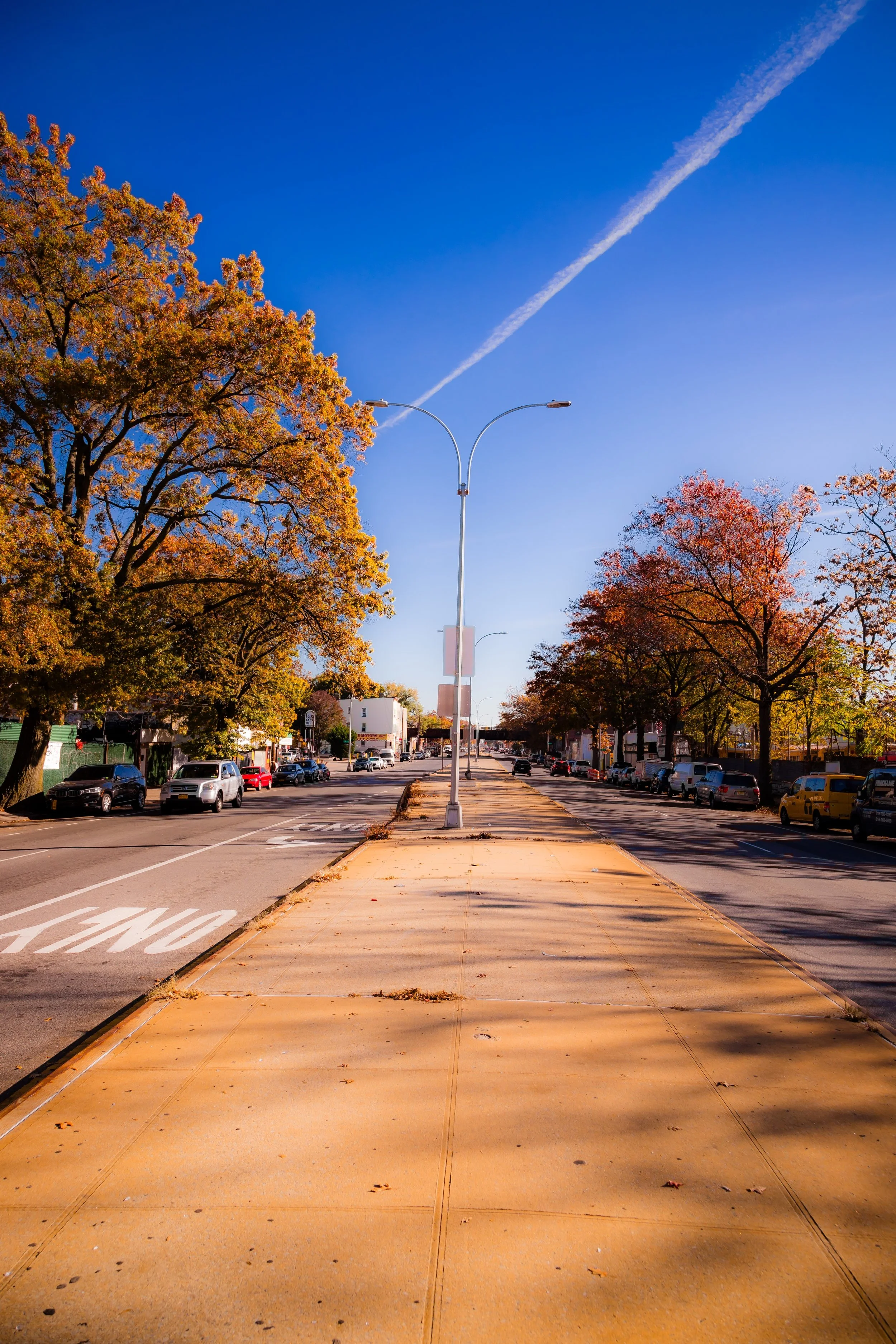
Ozone Park’s geography reveals its hybrid identity—urban in form yet suburban in feeling. The neighborhood’s northern and western reaches blend directly into Cypress Hills and East New York, while its southern and eastern boundaries open toward the green corridors surrounding Aqueduct Racetrack and the approaches to JFK Airport. Cross Bay Boulevard, Rockaway Boulevard, and Woodhaven Boulevard form major arteries that connect it to the Rockaways, Manhattan, and Brooklyn, while smaller residential streets—95th to 107th Streets, Liberty Avenue, and 103rd Avenue—give it the human scale of a classic New York neighborhood.
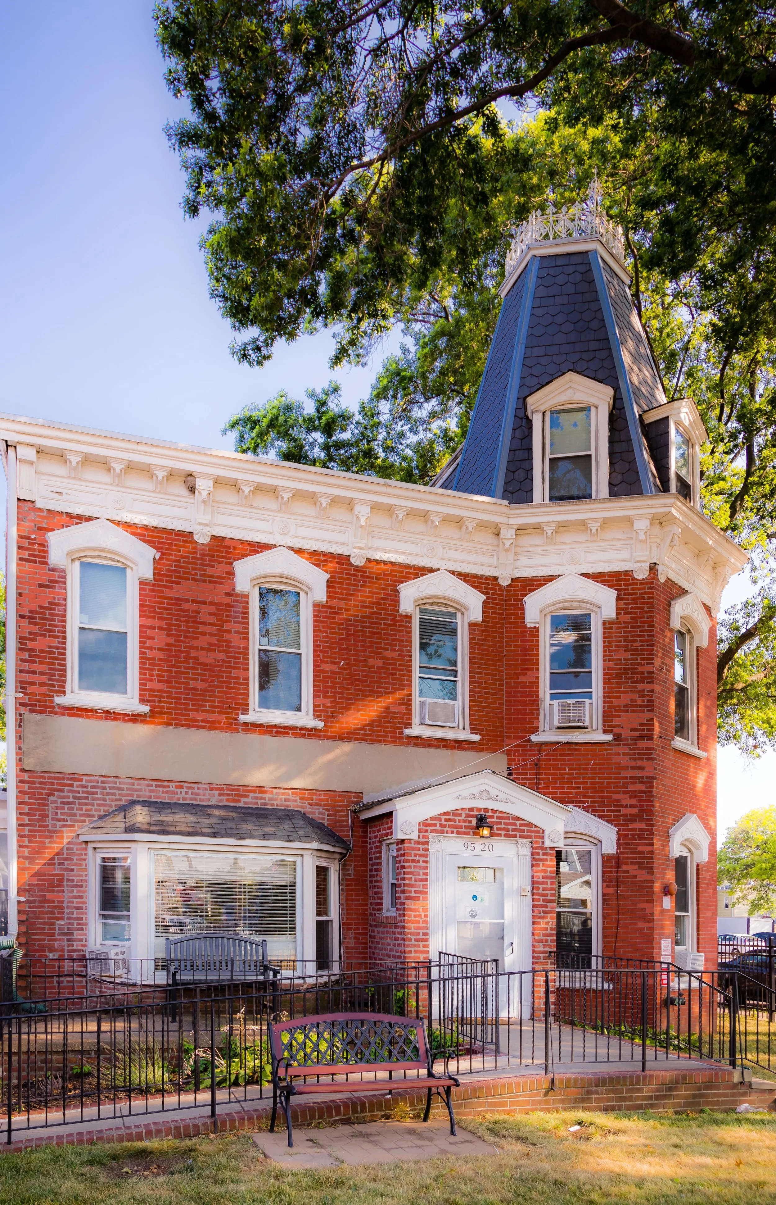
Today, Ozone Park’s defining features are its varied housing stock—ranging from 1920s brick rowhouses to 1950s single-family homes—and its deeply multicultural character, a blend of long-established Italian-American families and newer South Asian, Caribbean, and Latin American residents.
Etymology and Origins
The name “Ozone Park” was coined in the 1880s by real estate developers Benjamin Hitchcock and Charles Denton, who promoted the area as a healthy, breezy retreat near Jamaica Bay. The term “ozone” evoked the era’s fascination with fresh, invigorating air, suggesting a seaside purity distinct from the crowded conditions of Brooklyn and Manhattan. Their development—originally part of the Town of Jamaica—was among the first planned suburban communities in Queens, featuring gridded streets, uniform lots, and easy rail access via the Long Island Rail Road’s Rockaway Branch.
The earliest settlers were largely of German and Irish descent, drawn by the promise of affordable land and proximity to employment in Brooklyn’s factories and shipyards. Ozone Park’s first streets appeared near Centreville (around today’s Centreville Street and Albert Road), where small farmsteads gave way to modest frame houses. The area remained semi-rural until the early 20th century, when transit improvements brought a surge of urban development.
The Neighborhood
Early 20th Century: A Suburb for the Working Class
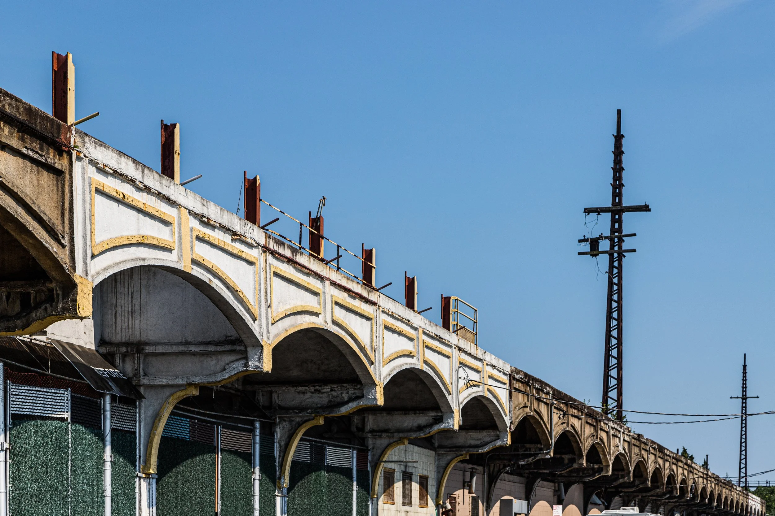
The arrival of the Brooklyn Rapid Transit (BRT) elevated line—later incorporated into the IND A line—and the paving of Liberty Avenue transformed Ozone Park into a true commuter suburb. Between 1900 and 1930, waves of Italian, Jewish, and Irish-American families settled here, turning farmland into rows of attached brick houses and corner shops. The extension of the Fulton Street elevated line to Lefferts Boulevard (1915) cemented the neighborhood’s connection to Manhattan, while the Rockaway Beach Branch of the LIRR carried passengers directly to summer resorts along the coast.
Ozone Park quickly developed a strong civic identity. Churches such as St. Stanislaus Bishop and Martyr (est. 1896) and Nativity of the Blessed Virgin Mary (1902) became spiritual anchors, while P.S. 63, John Adams High School, and numerous small businesses along Liberty Avenue created a sense of permanence and community. Street after street filled with brick two-family homes, stucco bungalows, and rowhouses built by small developers catering to working-class families seeking ownership and stability.
By the 1930s, Ozone Park was known throughout Queens as a model of “urban homesteading”—a place where the promise of a yard, a driveway, and a corner deli came within reach of ordinary New Yorkers.
Mid-20th Century: Growth, Community, and Suburban Aspirations
The decades after World War II were a golden era for Ozone Park. Veterans returning from the war took advantage of the G.I. Bill, purchasing homes in the area’s tidy residential blocks. Its proximity to the Belt Parkway and later JFK Airport (opened in 1948 as Idlewild) made it both accessible and economically vital. Many residents found employment at the airport, in civil service, or in nearby manufacturing plants.
The neighborhood’s social fabric in the 1950s and 1960s was deeply Italian-American and Irish-American, characterized by strong parish life, family-owned businesses, and a culture of civic pride. Liberty Avenue, 101st Avenue, and Cross Bay Boulevard flourished with butcher shops, bakeries, pizzerias, and clothing stores. Weekend life centered on parish festivals, school sports, and the excitement of the Aqueduct Racetrack, reopened in 1959 as one of the premier thoroughbred racing venues in the country.
Ozone Park’s modest prosperity and close-knit nature gave it the flavor of a “city village”—a place where neighbors knew one another by name, and where corner stores and parish schools served as anchors of everyday life.
Ozone Park Video Coming Soon
Late 20th Century: Change and Continuity
From the 1970s onward, Ozone Park, like much of New York City, experienced economic and demographic shifts. The decline of local manufacturing and the city’s fiscal crisis challenged long-standing residents, yet the community held together through strong local institutions and homeownership. During this period, Ozone Park began to diversify: Indo-Caribbean families from Guyana and Trinidad, followed by Bangladeshi, Punjabi, and Latin American immigrants, began purchasing homes and opening businesses, revitalizing commercial corridors while preserving the area’s residential fabric.
By the 1990s, Liberty Avenue had transformed into one of Queens’ most dynamic multicultural streetscapes—a corridor lined with roti shops, Caribbean markets, South Asian jewelers, and Latin American bakeries. Longtime Italian and Irish families remained, blending traditions of parish life and civic engagement with new cultural expressions.
Despite urban challenges—congestion, periodic flooding, and rising property values—Ozone Park’s spirit of self-reliance endured. The neighborhood’s community boards, block associations, and merchants’ councils played key roles in maintaining safety, beautification, and public services.
21st Century: A Multicultural Mosaic with Deep Roots
In the 21st century, Ozone Park stands as a microcosm of New York’s diversity, where new and old coexist within a framework of shared values. Italian delis sit beside Indo-Caribbean bakeries; Catholic processions pass storefronts advertising Diwali specials. The neighborhood’s population today includes Caribbean, South Asian, Hispanic, and Middle Eastern residents alongside families whose grandparents arrived from Italy or Ireland nearly a century ago.
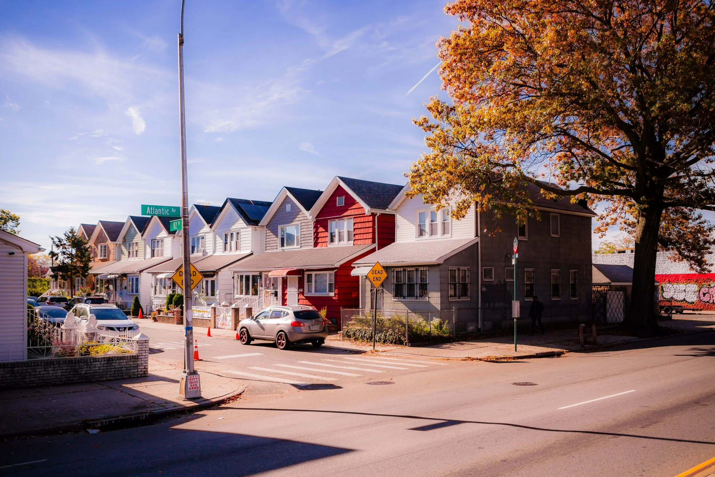
While much of Queens has seen rapid redevelopment, Ozone Park has largely preserved its human scale. Most blocks remain lined with two-story homes, many with small front gardens and American flags fluttering over stoops. Liberty Avenue and Cross Bay Boulevard remain commercial anchors, sustained by family businesses that span generations and cultures. The A train, Q11, and Q21 buses keep the neighborhood connected to the rest of the city, while proximity to JFK Airport ensures constant movement of people and ideas.
Civic pride runs deep: schools and parishes remain strong, neighborhood watch programs are active, and community festivals continue to celebrate the area’s layered heritage. Despite its density and diversity, Ozone Park retains the intimacy of a true neighborhood—a place defined by homeownership, faith, and interdependence.
Ozone Park Photo Gallery
Spirit and Legacy
Ozone Park’s enduring legacy is one of adaptation without erasure. From its beginnings as a breezy resort to its rise as a working-class stronghold and now a multicultural crossroads, the neighborhood has absorbed change while preserving its essential character. Its rowhouses, parish bells, and bustling avenues tell a story of resilience, opportunity, and belonging—a reminder that New York’s greatness is built not only on its towers, but on its neighborhoods.
New York City
Use this custom Google map to explore where every neighborhood in all five boroughs of New York City is located.
The Five Boroughs
One of New York City’s unique qualities is its organization in to 5 boroughs: Manhattan, Brooklyn, Queens, The Bronx, and Staten Island. These boroughs are part pragmatic administrative districts, and part vestiges of the region’s past. Each borough is an entire county in New York State - in fact, Brooklyn is, officially, Kings County, while Staten Island is, officially Richmond County. But that’s not the whole story …
Initially, New York City was located on the southern tip of Manhattan (now the Financial District) that was once the Dutch colony of New Amsterdam. Across the East River, another city was rising: Brooklyn. In time, the city planners realized that unification between the rapidly rising cities would create commercial and industrial opportunities - through streamlined administration of the region.
So powerful was the pull of unification between New York and Brooklyn that three more counties were pulled into the unification: The Bronx, Queens, and Staten Island. And on January 1, 1898, the City of New York unified two cities and three counties into one Greater City of New York - containing the five boroughs we know today.
But because each borough developed differently and distinctly until unification, their neighborhoods likewise uniquely developed. Today, there are nearly 390 neighborhoods, each with their own histories, cultures, cuisines, and personalities - and each with residents who are fiercely proud of their corner of The Big Apple.


