CLAREMONT VILLAGE
The Bronx
Geographic Setting
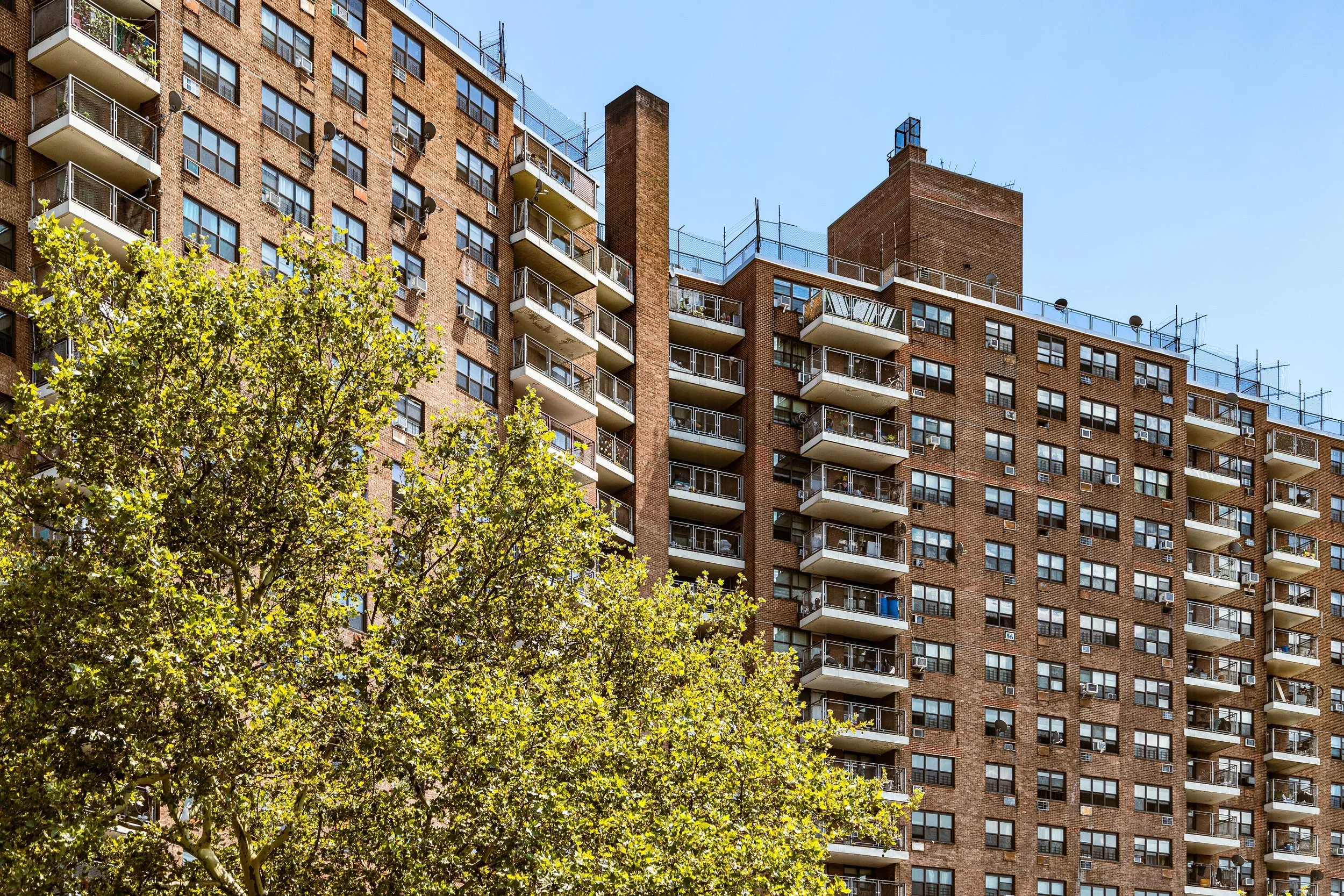
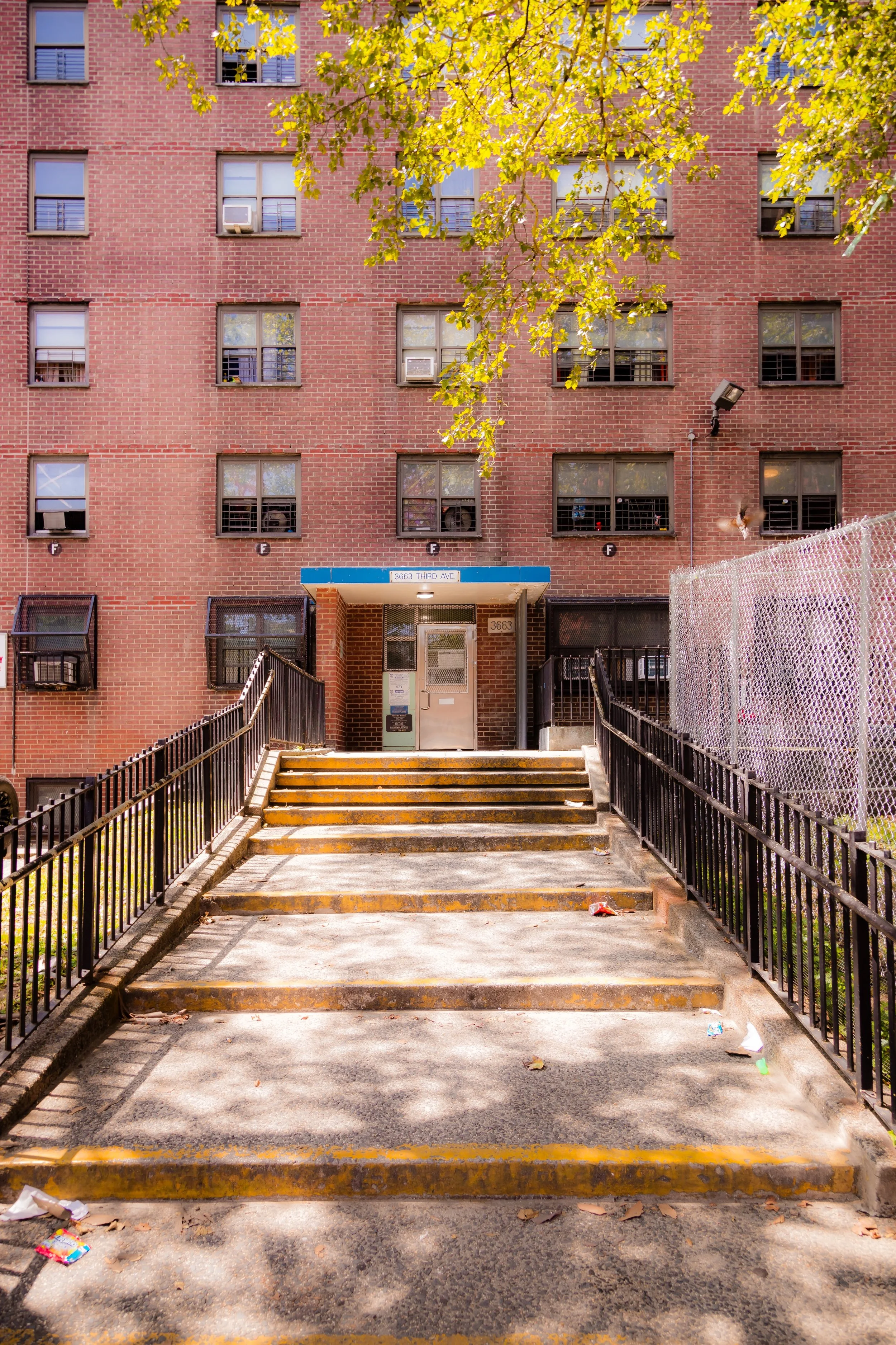
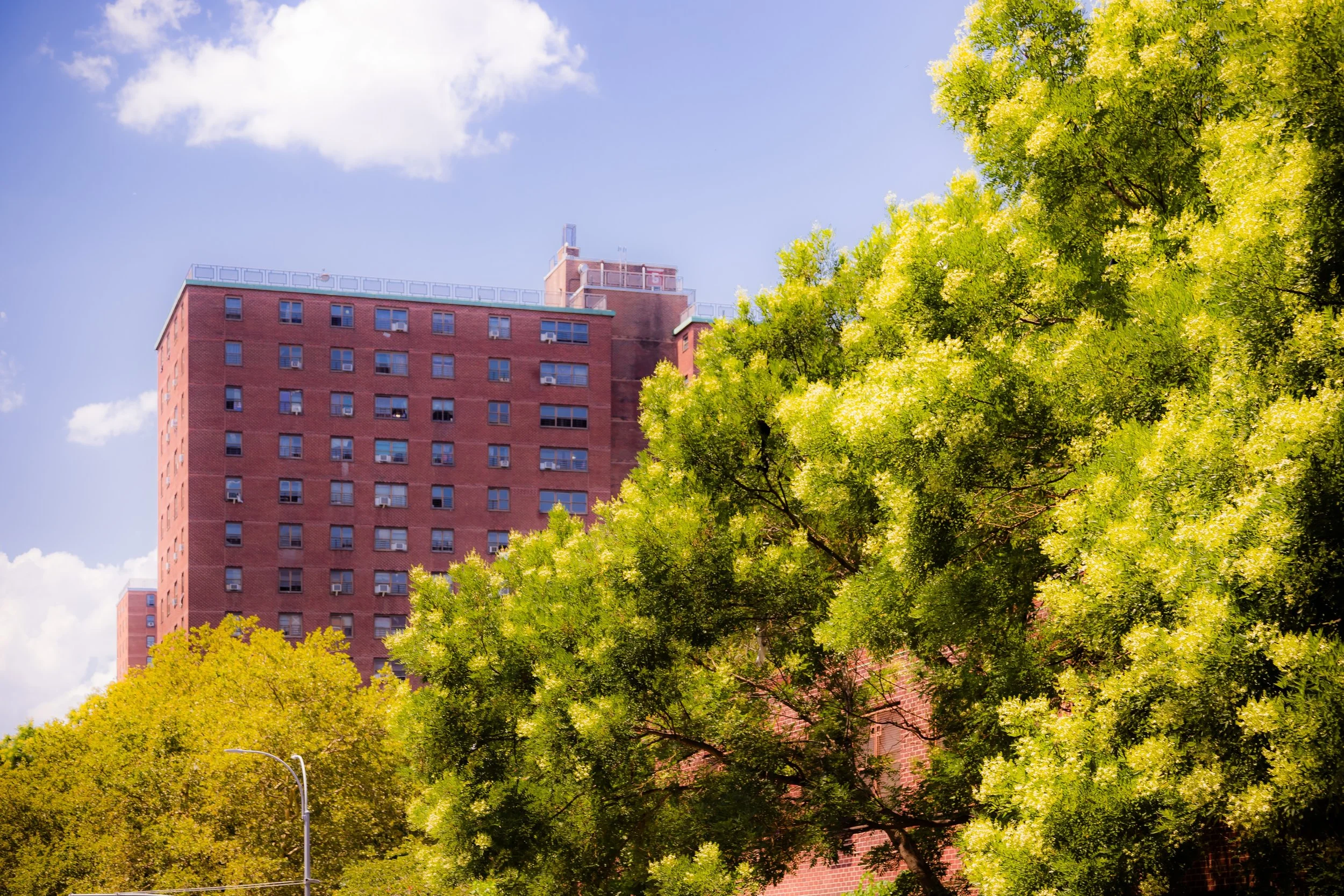
Bounded by Grand Concourse to the west, Claremont Parkway to the north, Fulton Avenue to the east, and East 168th Street to the south, Claremont Village lies on the lower slope of the hill that rises toward Claremont Park, forming the southern half of the greater Claremont district. While small in area, the neighborhood holds immense social and architectural significance: it is home to some of the most prominent mid-20th-century public housing campuses in the Bronx, including the Claremont Village Houses and portions of the Morrisania Air Rights Houses.
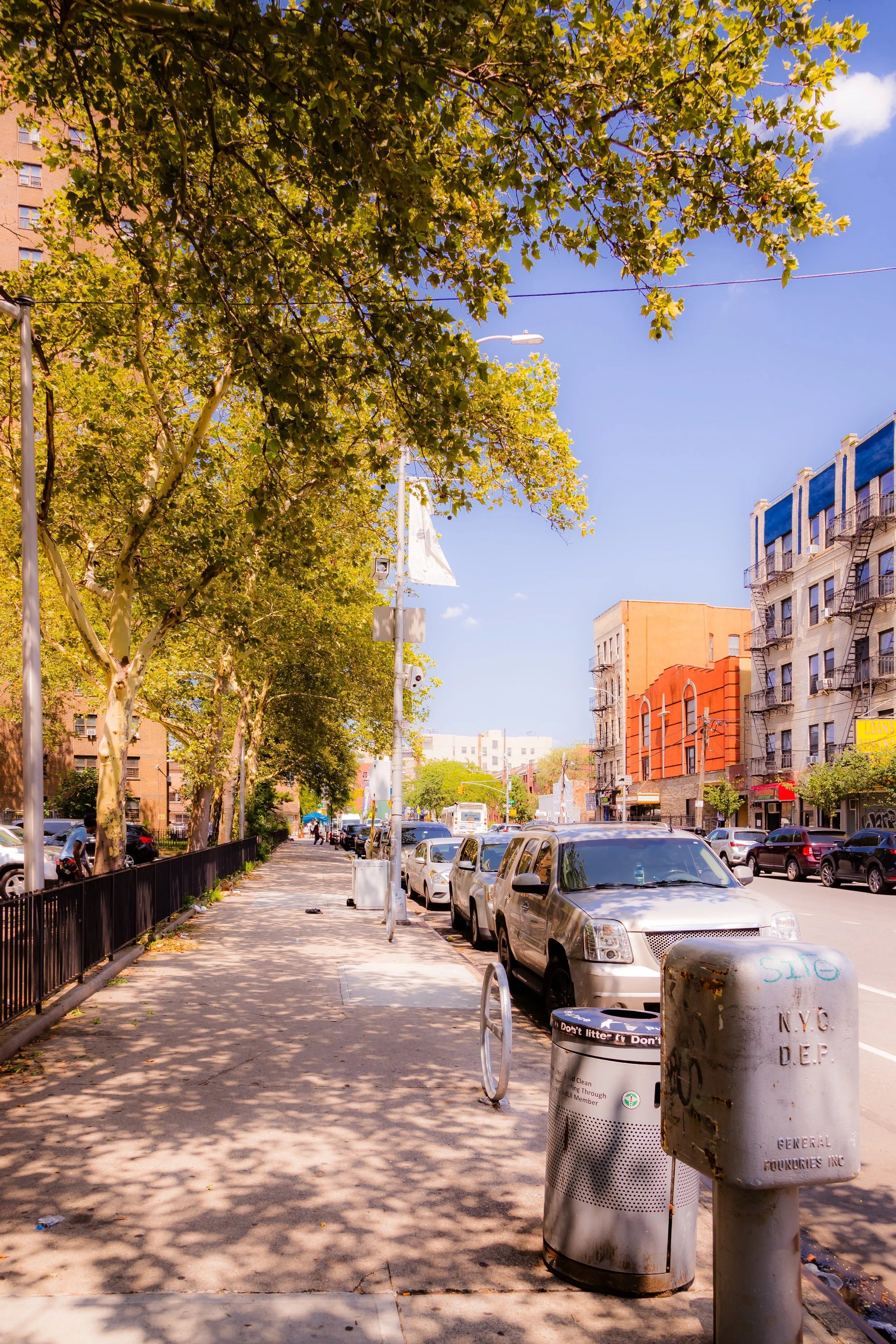
The neighborhood’s grid runs gently uphill from Fulton Avenue toward Grand Concourse, where the broad boulevard’s prewar apartment houses stand as a western gateway. Within the core, open lawns, red-brick towers, and newly renovated low-rise buildings occupy the superblocks that replaced dense tenement rows after World War II. To the north, Claremont Parkway and Claremont Park provide rare greenery and space, while to the south, the neighborhood blends into Morrisania and Mount Eden. The contrast between Grand Concourse’s Art Deco façades and the functional modernism of Claremont Village’s housing defines the visual texture of this part of the South Bronx.
Etymology
The name “Claremont Village” extends from its northern neighbor, Claremont, and from Claremont Park, which itself drew on the Latin clarus mons, “bright hill.” The “Village” suffix was adopted in the 1950s and 1960s to distinguish the postwar housing complex built by the New York City Housing Authority (NYCHA) from the older residential district to the north. It reflected both a planning ideal—self-contained, walkable community clusters within the city—and a sociological hope that modern design could foster a “village” sense of belonging amid the density of the South Bronx.
The Neighborhood
Origins through the 19th Century
In the 19th century, this area formed the southern edge of the Morris family estate, which dominated the western Bronx. When the city purchased the land that became Claremont Park in 1884, the surrounding fields and lanes began to urbanize. By the 1890s, the blocks between Fulton Avenue and the Grand Concourse had filled with rowhouses and walk-up tenements, home to Irish, German, and later Jewish and Italian working families employed in the nearby Morrisania industrial belt.
The extension of Webster Avenue, Third Avenue, and the subway connections to Manhattan in the early 20th century intensified growth. The housing stock here was dense and modest—four- and five-story cold-water flats built quickly for a booming population. Churches, small groceries, and labor halls occupied the corners; children played in streets that were often the only open space. By the 1930s, this corner of Claremont had become emblematic of both the Bronx’s energy and its crowding.
Early 20th Century: Tenement Life and Civic Reform
During the 1910s–1930s, the area south of Claremont Park housed thousands of immigrant families in close quarters. The Grand Concourse, completed in 1909, represented a sharp divide: elegant apartment blocks and promenades stood only a few blocks from overcrowded tenement rows east of Clay Avenue and Fulton Avenue. Yet life here was tightly knit. Schools such as PS 42, local synagogues, and Catholic parishes like St. Joseph’s anchored community life, while small factories and warehouses provided employment along Third Avenue and Webster Avenue.
Urban reformers took notice of the area’s conditions, and by the 1930s, it was targeted for slum clearance under New Deal-era planning initiatives. The seeds of the later Claremont Village Houses were planted during these years, as city planners envisioned replacing old tenements with “superblocks” of open-air modern housing surrounded by green courts.
Claremont Village Video Coming Soon
Mid–Late 20th Century: The Rise of Claremont Village
The defining moment came in 1959, when the Claremont Village Houses were completed under the New York City Housing Authority. Spanning more than 18 acres, the project introduced high-rise red-brick towers, low-rise row houses, and landscaped walkways designed to promote light and air. The plan embodied mid-century modernist ideals of urban renewal: the street grid was softened, vehicular traffic reduced, and buildings set back from sidewalks to create communal lawns.
Initially, the new development represented progress and pride. Families relocated from crumbling tenements nearby, and the apartments offered amenities—private bathrooms, elevators, heating—that older buildings lacked. The surrounding streets, from E 168th north to Claremont Parkway, were lined with new schools, recreation centers, and playgrounds.
Yet by the 1970s, the South Bronx entered a period of severe disinvestment. Fires, unemployment, and flight hollowed out the surrounding neighborhoods, isolating Claremont Village within a landscape of abandonment. The design that once symbolized optimism—towers amid lawns—became a challenge to maintain. Community leaders and residents, however, organized persistently: tenant councils, block associations, and local churches filled the void left by public neglect. The Claremont Neighborhood Center (founded 1956) became a cornerstone for social services, youth programs, and advocacy that helped the community endure through the Bronx’s hardest decades.
21st Century: Renewal and Community Focus
Entering the 21st century, Claremont Village began a slow but sustained revival. NYCHA rehabilitation projects restored facades, elevators, and grounds across the Claremont Village Houses, while new infill developments—mixed-income apartments and senior housing—rose on formerly vacant lots. The neighborhood’s strategic location between Claremont Park and the Grand Concourse brought renewed attention from city planners investing in the South Bronx’s green corridors.
Residents remain predominantly African-American and Latino, with growing West African and Caribbean populations adding to the district’s cultural vitality. Local organizations host summer concerts in Claremont Park, health fairs along Fulton Avenue, and community clean-ups that connect residents to their historic surroundings. Schools have improved through partnerships with nonprofits, and public art projects now enliven courtyards once overlooked.
Despite ongoing challenges—aging infrastructure, limited resources—Claremont Village stands today as one of the South Bronx’s most enduring examples of postwar urban resilience. The combination of public housing, community advocacy, and proximity to open space has made it both a case study in adaptation and a home to generations who have refused to leave.
Claremont Village Photo Gallery
Spirit and Legacy
The spirit of Claremont Village is grounded in its people’s capacity to make community within walls once built as social experiments. Across decades of change, they have forged genuine village life: block parties on the lawns, food drives in church basements, and generations of families who know every path between Fulton Avenue and Claremont Parkway by heart.
New York City
Use this custom Google map to explore where every neighborhood in all five boroughs of New York City is located.
The Five Boroughs
One of New York City’s unique qualities is its organization in to 5 boroughs: Manhattan, Brooklyn, Queens, The Bronx, and Staten Island. These boroughs are part pragmatic administrative districts, and part vestiges of the region’s past. Each borough is an entire county in New York State - in fact, Brooklyn is, officially, Kings County, while Staten Island is, officially Richmond County. But that’s not the whole story …
Initially, New York City was located on the southern tip of Manhattan (now the Financial District) that was once the Dutch colony of New Amsterdam. Across the East River, another city was rising: Brooklyn. In time, the city planners realized that unification between the rapidly rising cities would create commercial and industrial opportunities - through streamlined administration of the region.
So powerful was the pull of unification between New York and Brooklyn that three more counties were pulled into the unification: The Bronx, Queens, and Staten Island. And on January 1, 1898, the City of New York unified two cities and three counties into one Greater City of New York - containing the five boroughs we know today.
But because each borough developed differently and distinctly until unification, their neighborhoods likewise uniquely developed. Today, there are nearly 390 neighborhoods, each with their own histories, cultures, cuisines, and personalities - and each with residents who are fiercely proud of their corner of The Big Apple.


