CITY ISLAND
The Bronx
Geographic Setting
Set at the far northeastern edge of the Bronx and linked to the mainland by a single bridge across Eastchester Bay, City Island stands apart—physically, visually, and spiritually—from the rest of New York City. Measuring just a mile and a half long and a few blocks wide, it is bounded entirely by water: Eastchester Bay to the west, Long Island Sound to the east, and Pelham Bay Park stretching toward the mainland. Its narrow spine, City Island Avenue, runs the island’s full length from the bridge at Hart Island Sound north to Belden Point, where restaurants overlook open sea.
Though administratively part of the Bronx, City Island feels like an independent coastal village—its streets lined with clapboard houses, marinas, and family-run seafood restaurants. Orchard Beach, Pelham Bay Park, and Hart Island frame its horizon, while the steady movement of boats, gulls, and tides defines its rhythm. Its isolation by water has preserved an atmosphere of small-town intimacy rare within the five boroughs.
Etymology
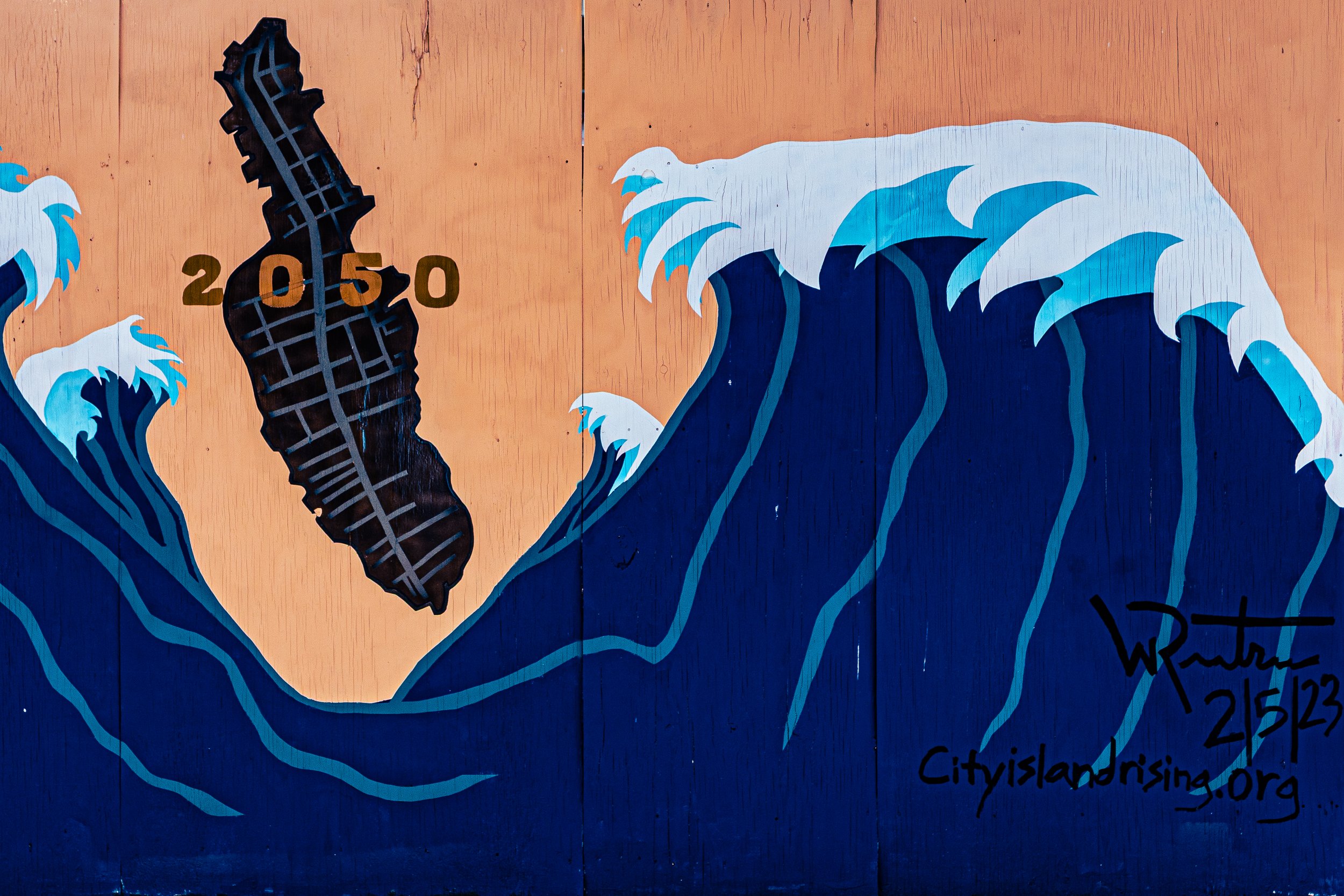
The name “City Island” was chosen in 1761 by Benjamin Palmer, a developer who imagined transforming this then-rural island—then known as Minefer’s Island and later Great Minnefords Island—into the “City Island” of New York Harbor: a rival to Manhattan as a major commercial port. Palmer’s ambitions never materialized, but the name stuck, capturing both his aspiration and the island’s enduring tension between seclusion and cosmopolitan reach.
Before European colonization, the Siwanoy, an Algonquian-speaking people, used the island seasonally for fishing and shellfishing, leaving behind oyster middens that would later define its maritime identity. The modern name thus reflects a layered irony: an island that never became a “city,” but found greatness in its smallness.
The Neighborhood
Origins through the 19th Century
City Island’s modern story began in the 17th century, when the English adventurer Thomas Pell purchased vast tracts of what is now the northeast Bronx and lower Westchester from the Siwanoy people in 1654. By the mid-1700s, the island had passed to Benjamin Palmer, whose failed dream of a commercial “City Island” nonetheless laid out its future grid.
During the Revolutionary War, the island’s position between Long Island Sound and the mainland made it strategically significant. British and American vessels used its shores as anchorages, and legend holds that both sides briefly occupied it. After the war, City Island reverted to a quiet farming and fishing community, connected to the mainland only by boat until the first wooden bridge was built in 1873.
The 19th century brought industrial diversification. Shipyards, oystering fleets, and sail lofts dotted the waterfront. Families with names like Hawkins, Schofield, and Samuelson established boatbuilding traditions that would make the island famous. The proximity to the growing Pelham Bay Park—created in 1888—and later to the Bronx Parkway system connected City Island more directly to the city, while its island identity preserved its village scale and autonomy.
Early 20th Century: The Boatbuilders’ Island
From 1900 through the 1940s, City Island was synonymous with boatbuilding excellence. Its shipyards—Henry Nevins, Minneford Yacht Yard, and Consolidated Shipbuilding—produced vessels ranging from pleasure yachts to racing sloops and naval craft. During both World Wars, the island’s yards contributed to the U.S. Navy effort, building minesweepers and patrol boats that linked the island’s craftsmanship to the national cause.
The island’s social life revolved around its docks, yacht clubs, and seafood taverns. City Island Avenue, lined with hardware stores, marine suppliers, and modest frame houses, served as its Main Street. The City Island Bridge, rebuilt in 1901 after the collapse of the earlier wooden span, carried trolleys and later automobiles, ending centuries of isolation by rowboat or ferry.
During this period, the community developed its enduring maritime culture: volunteer fire brigades, fishing derbies, and yacht races shaped its rhythm. While the rest of the Bronx urbanized, City Island remained self-contained—its architecture low-rise, its air salt-edged, its outlook distinctly seafaring.
City Island Video Coming Soon
Mid–Late 20th Century: Preservation and Identity
The 1950s–1970s brought suburban pressures but also a fierce local commitment to independence. Many residents descended from generations of shipbuilders, fishermen, and mariners who resisted large-scale development. When plans for bridges or luxury marinas threatened to transform the island, community opposition—often led by the City Island Civic Association—kept the zoning low-density and protected its working waterfront.
By the 1970s, the decline of industrial boatbuilding gave rise to new trades: yacht restoration, small-scale marinas, and the island’s now-famous seafood restaurants. Johnny’s Reef, The Lobster House, and Sammy’s Fish Box became local landmarks, attracting weekend crowds while sustaining year-round livelihoods.
Artists, writers, and urban refugees discovered City Island’s quiet charm, buying and restoring Victorian cottages. The City Island Nautical Museum, opened in the old PS 17 Schoolhouse, began preserving the island’s maritime history, ensuring its identity remained rooted in craftsmanship and sea culture.
21st Century: A Maritime Village in the Metropolis
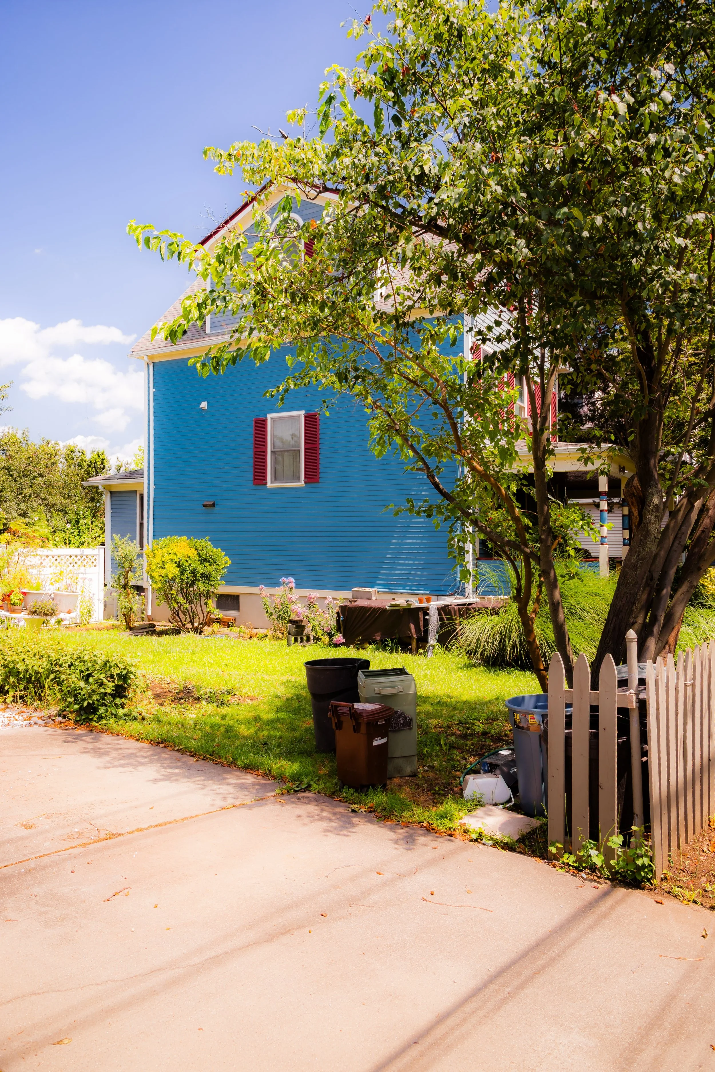
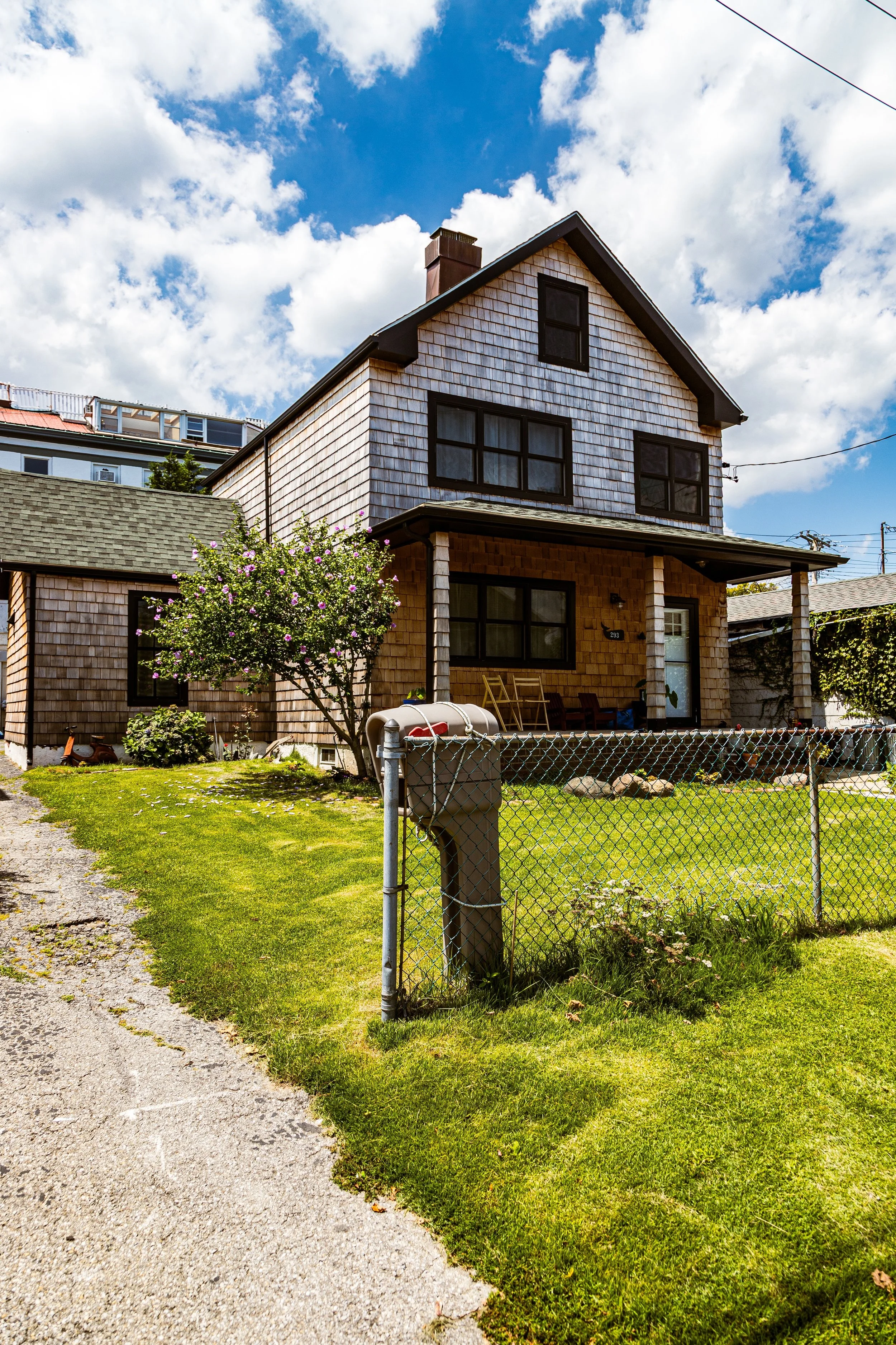
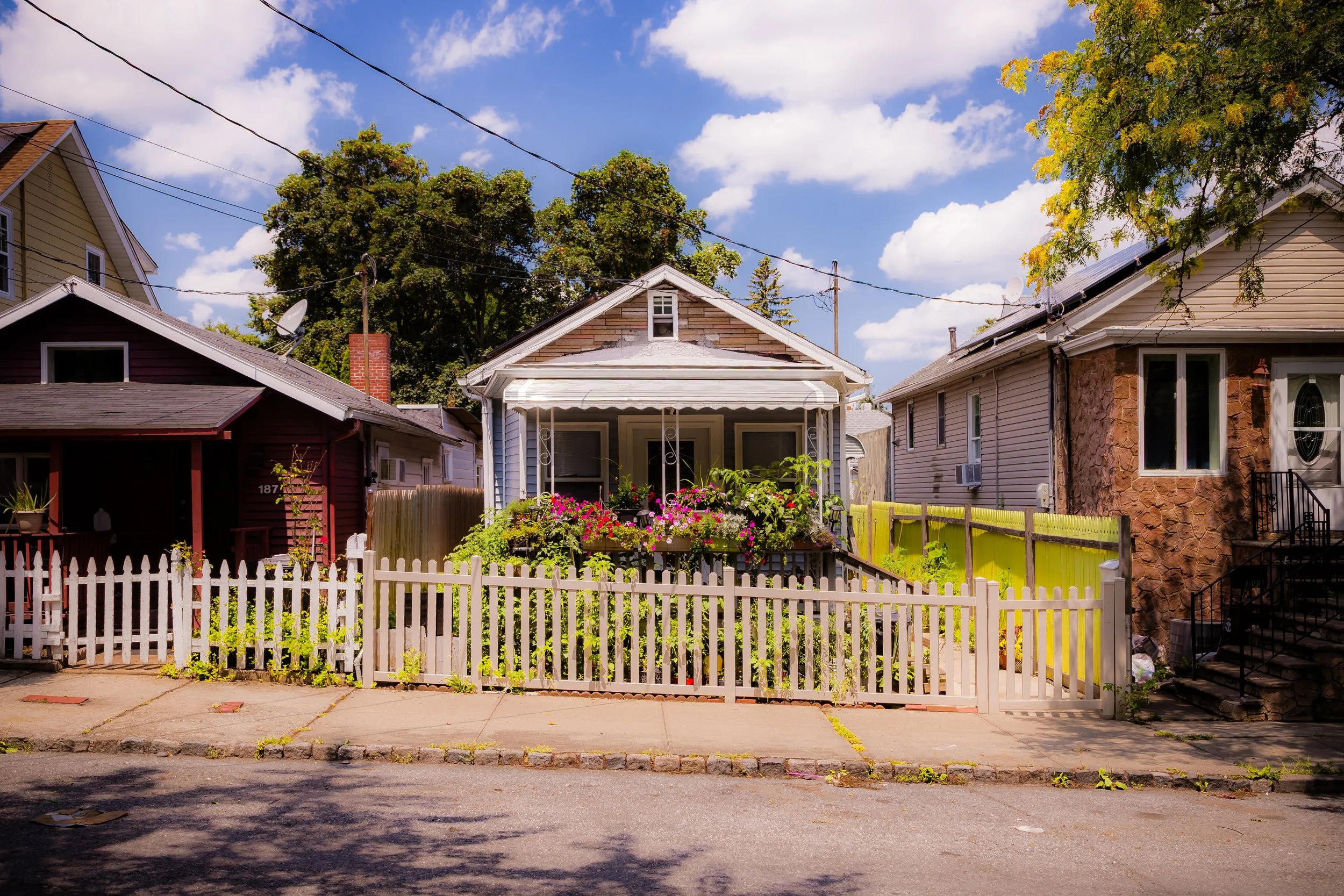
Today, City Island remains one of New York’s most distinctive enclaves—a living maritime village within the world’s largest city. Its single main road, City Island Avenue, retains the rhythm of an old New England town, with clapboard houses, seafood shacks, and the occasional yacht mast rising behind them. The population—about 4,500 residents—represents both deep multigenerational roots and newcomers drawn to its small-town pace.
The replacement of the City Island Bridge in 2017 renewed connection to the mainland while sparking debate over preservation and modernization—an echo of Benjamin Palmer’s original tension between progress and pastoralism. The City Island Nautical Museum and local heritage organizations continue to document the island’s role in America’s boatbuilding legacy, while artists’ studios and galleries occupy former workshops.
The community remains remarkably self-sufficient: a volunteer firehouse, small churches, and local schools maintain civic life, and seasonal festivals—most notably the City Island Arts & Crafts Fair and the Blessing of the Fleet—keep maritime tradition alive.
City Island Photo Gallery
Spirit and Legacy
City Island’s spirit is one of isolation turned into identity. Here, distance from the mainland became a virtue—a space where time moves slower, neighbors know one another, and the sea remains a daily presence. The air smells of salt and varnish; the streets end in water; and conversations still begin with the tide.
New York City
Use this custom Google map to explore where every neighborhood in all five boroughs of New York City is located.
The Five Boroughs
One of New York City’s unique qualities is its organization in to 5 boroughs: Manhattan, Brooklyn, Queens, The Bronx, and Staten Island. These boroughs are part pragmatic administrative districts, and part vestiges of the region’s past. Each borough is an entire county in New York State - in fact, Brooklyn is, officially, Kings County, while Staten Island is, officially Richmond County. But that’s not the whole story …
Initially, New York City was located on the southern tip of Manhattan (now the Financial District) that was once the Dutch colony of New Amsterdam. Across the East River, another city was rising: Brooklyn. In time, the city planners realized that unification between the rapidly rising cities would create commercial and industrial opportunities - through streamlined administration of the region.
So powerful was the pull of unification between New York and Brooklyn that three more counties were pulled into the unification: The Bronx, Queens, and Staten Island. And on January 1, 1898, the City of New York unified two cities and three counties into one Greater City of New York - containing the five boroughs we know today.
But because each borough developed differently and distinctly until unification, their neighborhoods likewise uniquely developed. Today, there are nearly 390 neighborhoods, each with their own histories, cultures, cuisines, and personalities - and each with residents who are fiercely proud of their corner of The Big Apple.


