CORONA
Queens
Geographic Setting
Bounded by the Long Island Expressway to the south, Junction Boulevard to the west, 45th Avenue to the north, and 111th Street and Flushing Meadows–Corona Park to the east, Corona lies at the vibrant heart of north-central Queens. Its geography forms a lively crossroads between Jackson Heights, Elmhurst, and Flushing, with the vast green expanse of the park defining its eastern boundary. Corona’s terrain rises gently from the lowland flats near the expressway toward the elevated IRT 7 train, which runs above Roosevelt Avenue—the neighborhood’s cultural and commercial artery.
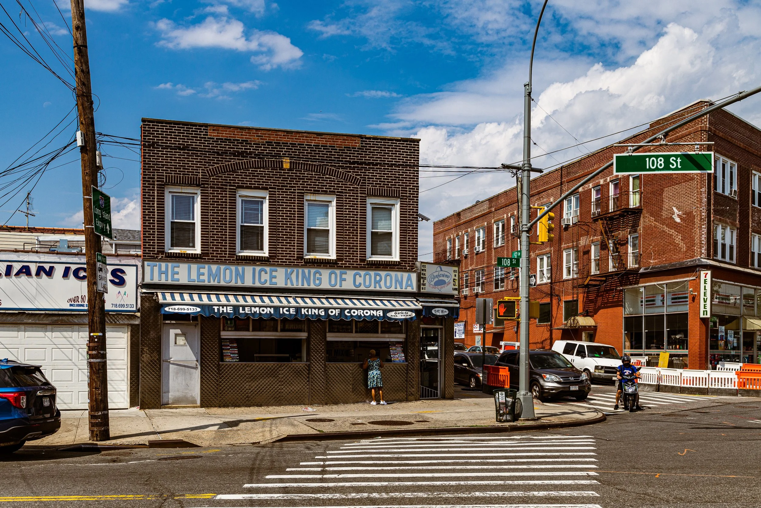
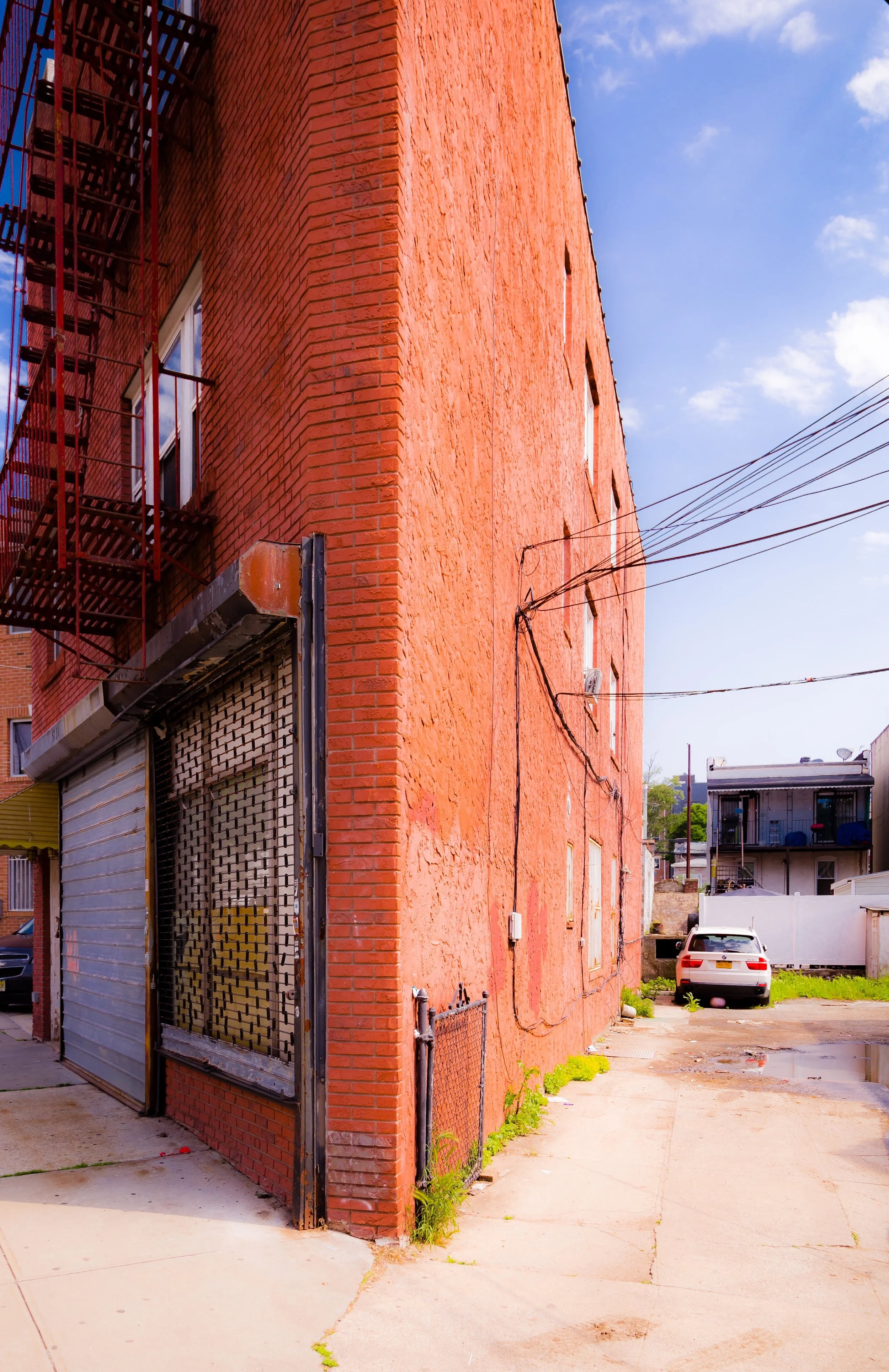
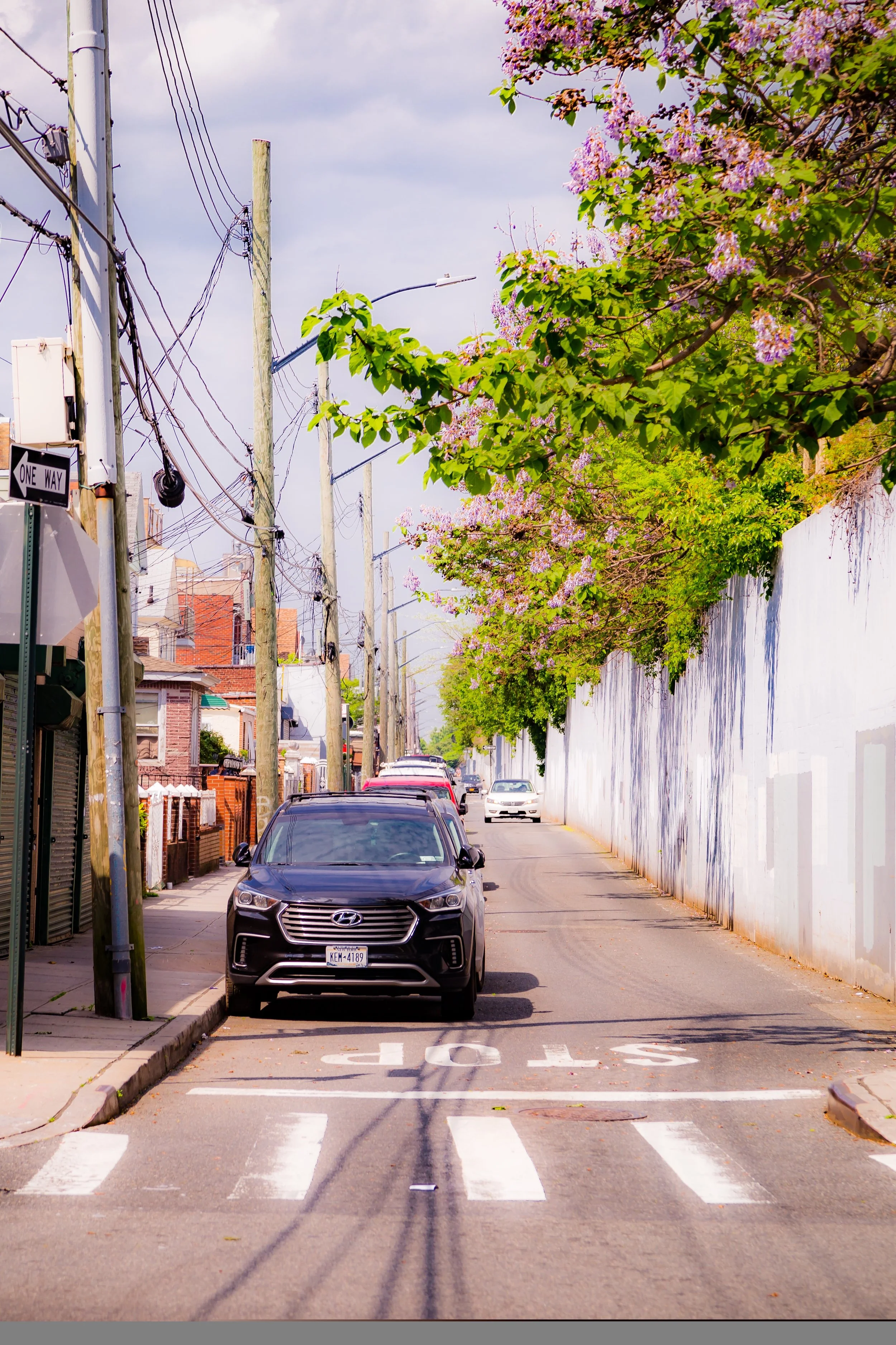
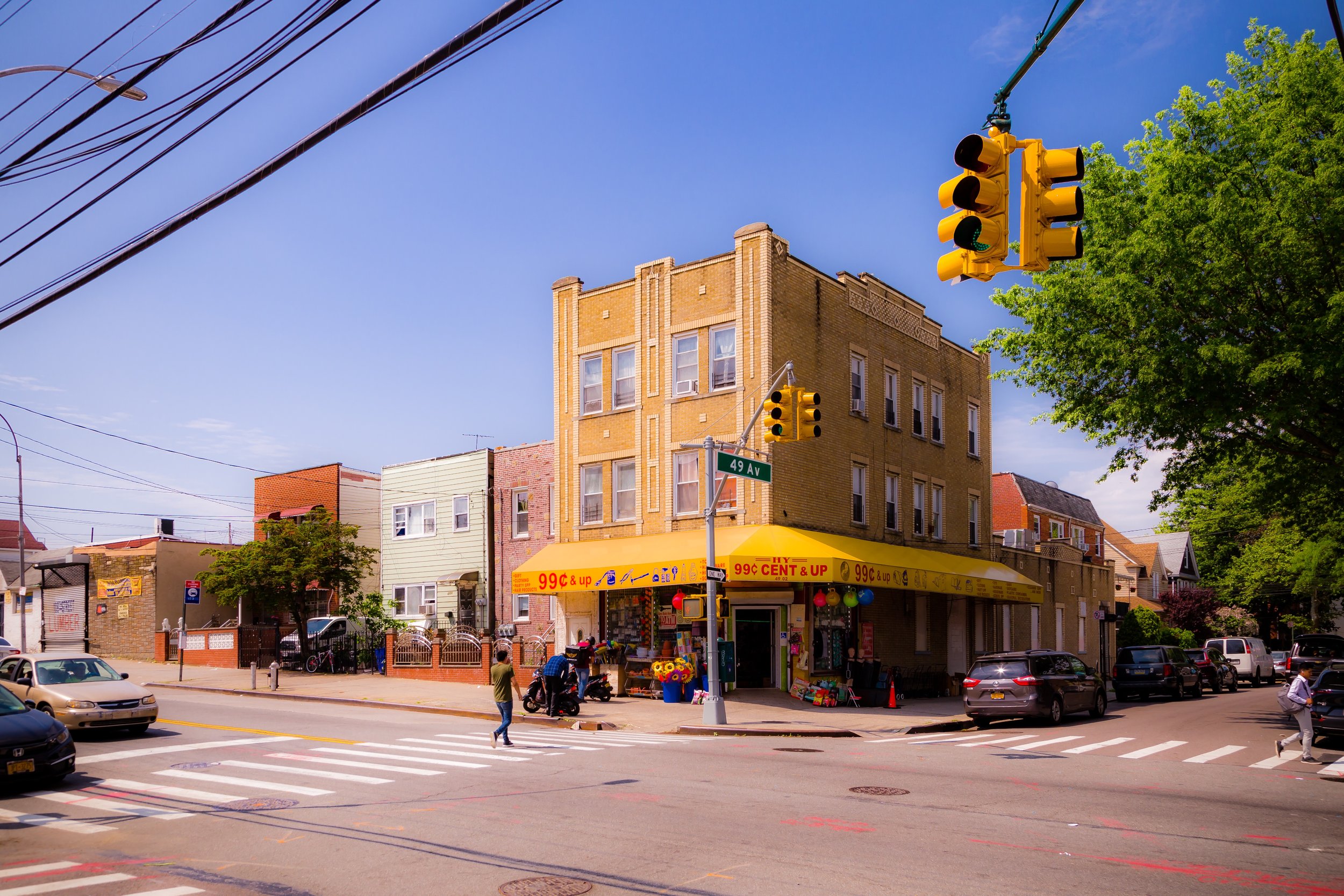
Corona’s streets hum with life: block after block of small rowhouses, brick apartment buildings, corner stores, and murals reflecting the area’s multilingual vitality. Roosevelt Avenue and Corona Avenue serve as its main thoroughfares, lined with taquerías, panaderías, bodegas, and family-run restaurants, while side streets reveal neat rows of early-20th-century homes, many still bearing the decorative brickwork of their immigrant builders. The 7 train stations at 103rd Street–Corona Plaza and 111th Street tie the neighborhood to both Midtown Manhattan and Flushing, while pedestrian bridges and underpasses connect it directly to the meadows, lakes, and museums of Flushing Meadows–Corona Park—its green eastern frontier.
Etymology and Origins
The name “Corona” originated in the 1870s, when real estate developer Benjamin Hitchcock and his partners sought to rebrand what was then part of West Flushing as an independent suburban community. “Corona,” meaning crown in Latin, symbolized the area’s elevated location and aspirations to refinement and self-sufficiency. Before that, the land was a patchwork of farms and meadows belonging to Dutch and English settlers, part of the colonial Town of Newtown.
The arrival of the Flushing Railroad in the mid-19th century—and later, the Long Island Rail Road’s North Side Division—spurred Corona’s growth from farmland to residential village. By the late 1800s, the neighborhood had taken on the hallmarks of a small, self-contained suburb: tree-lined streets, modest homes, and a growing commercial district along National Avenue (now Corona Avenue). Many of its early residents were German, Italian, and Irish immigrants who worked in nearby factories and rail yards, establishing churches, social clubs, and small businesses that gave Corona a distinctly working-class identity.
The Neighborhood
Early 20th Century: A Growing Urban Village
By the 1910s and 1920s, Corona’s transformation into a full-fledged city neighborhood was well underway. The construction of the IRT Flushing Line (today’s 7 train) in 1917 opened the area to rapid urbanization, linking it directly to Manhattan and Flushing. Rows of brick homes, two-family houses, and small apartment buildings filled the grid between Roosevelt and Corona Avenues, creating one of Queens’ densest yet most cohesive residential zones.
Corona became known for its strong sense of community and vibrant street life. Italian families in particular defined the neighborhood’s culture during this period, building landmarks such as Our Lady of Sorrows Roman Catholic Church (est. 1923), which became a cornerstone of parish life. Nearby, the Spaghetti Park playground (officially William F. Moore Park) gained fame for its bocce courts and lively gatherings, earning its affectionate nickname from local residents.
Mid-20th Century: Culture, Change, and Music
The 1930s brought both transformation and pride to Corona. The neighborhood’s eastern edge was dramatically reshaped by the construction of Flushing Meadows Park, designed for the 1939–1940 World’s Fair, which introduced new parkways, lakes, and pavilions to what had once been an ash dump memorialized in F. Scott Fitzgerald’s The Great Gatsby. The park—later rebuilt for the 1964–1965 World’s Fair—became Corona’s backyard: a landscape of festivals, fairs, and weekend recreation that remains vital to neighborhood life.
During these decades, Corona also emerged as one of New York City’s centers of African-American and Afro-Latin culture. In the 1940s and 1950s, the area drew families from Harlem and the Caribbean seeking homeownership and stability. Jazz luminaries such as Louis Armstrong and his wife Lucille settled here in a modest frame house on 107th Street, where Armstrong lived until his death in 1971. His home—now the Louis Armstrong House Museum, preserved with its original interiors—stands as one of the city’s most intimate cultural landmarks, a tribute to the global artist’s deep local roots.
Meanwhile, Corona’s Italian-American community continued to thrive, coexisting with a growing Puerto Rican population that infused the neighborhood with new rhythms, languages, and traditions. Small manufacturing persisted, and local businesses—bakeries, delis, tailor shops—lined Corona Avenue and Roosevelt Avenue, forming the economic spine of a neighborhood grounded in craftsmanship and commerce.
Corona Video Coming Soon
Late 20th Century: New Waves of Immigration
By the 1970s and 1980s, Corona had entered a new phase of demographic transformation. As older European families moved outward to Long Island, new immigrants from Latin America, particularly Ecuador, Mexico, Colombia, and the Dominican Republic, arrived in large numbers. Their arrival revitalized the area, bringing new businesses, cultural institutions, and an unmistakable sense of energy. Spanish-language storefronts multiplied along Roosevelt Avenue, while food vendors, restaurants, and markets transformed Corona into one of the culinary capitals of Queens.
At the same time, the neighborhood faced challenges familiar to many working-class urban communities: overcrowding, housing disinvestment, and infrastructural strain. Yet through civic activism and community organization, Corona remained resilient. Groups like the Corona-East Elmhurst Civic Association and the Dominican Cultural House worked to improve housing conditions and preserve neighborhood identity. Corona Plaza, beneath the elevated 7 train, became both a transit hub and a communal gathering space—a daily intersection of languages, music, and markets.
21st Century: Diversity, Renewal, and Pride
In the 2000s and 2010s, Corona reaffirmed its place as one of New York City’s most vibrant immigrant neighborhoods. More than 60 percent of its residents today were born abroad, representing a tapestry of cultures from across Latin America, South Asia, and beyond. Roosevelt Avenue remains the neighborhood’s living artery—bustling with tamale vendors, fruit carts, and global cuisine—while National Street, 111th Street, and Corona Avenue serve as its quieter residential corridors.
Community institutions such as the Queens Museum (in nearby Flushing Meadows Park) and the Louis Armstrong House Museum continue to celebrate Corona’s history and culture, while redevelopment efforts have improved parks, schools, and transportation infrastructure. The expansion of Corona Plaza into a pedestrian-friendly public space in the 2010s symbolized the neighborhood’s identity as both gateway and gathering ground—a microcosm of the global city.
During the COVID-19 pandemic, Corona faced immense hardship, becoming one of the neighborhoods most affected by the crisis. Yet it also embodied resilience, as mutual-aid networks, faith communities, and local volunteers mobilized to provide food, healthcare, and solidarity. The pandemic underscored what Corona has long represented: a community defined not by wealth or privilege, but by its capacity to endure and care for one another.
Corona Photo Gallery
Spirit and Legacy
Corona’s legacy is one of transformation without loss of soul. From its 19th-century roots as a railroad suburb to its 20th-century rise as a cultural and immigrant stronghold, it has continually reinvented itself while retaining its essential warmth and humanity.
New York City
Use this custom Google map to explore where every neighborhood in all five boroughs of New York City is located.
The Five Boroughs
One of New York City’s unique qualities is its organization in to 5 boroughs: Manhattan, Brooklyn, Queens, The Bronx, and Staten Island. These boroughs are part pragmatic administrative districts, and part vestiges of the region’s past. Each borough is an entire county in New York State - in fact, Brooklyn is, officially, Kings County, while Staten Island is, officially Richmond County. But that’s not the whole story …
Initially, New York City was located on the southern tip of Manhattan (now the Financial District) that was once the Dutch colony of New Amsterdam. Across the East River, another city was rising: Brooklyn. In time, the city planners realized that unification between the rapidly rising cities would create commercial and industrial opportunities - through streamlined administration of the region.
So powerful was the pull of unification between New York and Brooklyn that three more counties were pulled into the unification: The Bronx, Queens, and Staten Island. And on January 1, 1898, the City of New York unified two cities and three counties into one Greater City of New York - containing the five boroughs we know today.
But because each borough developed differently and distinctly until unification, their neighborhoods likewise uniquely developed. Today, there are nearly 390 neighborhoods, each with their own histories, cultures, cuisines, and personalities - and each with residents who are fiercely proud of their corner of The Big Apple.


