INWOOD
Manhattan
Geographic Setting
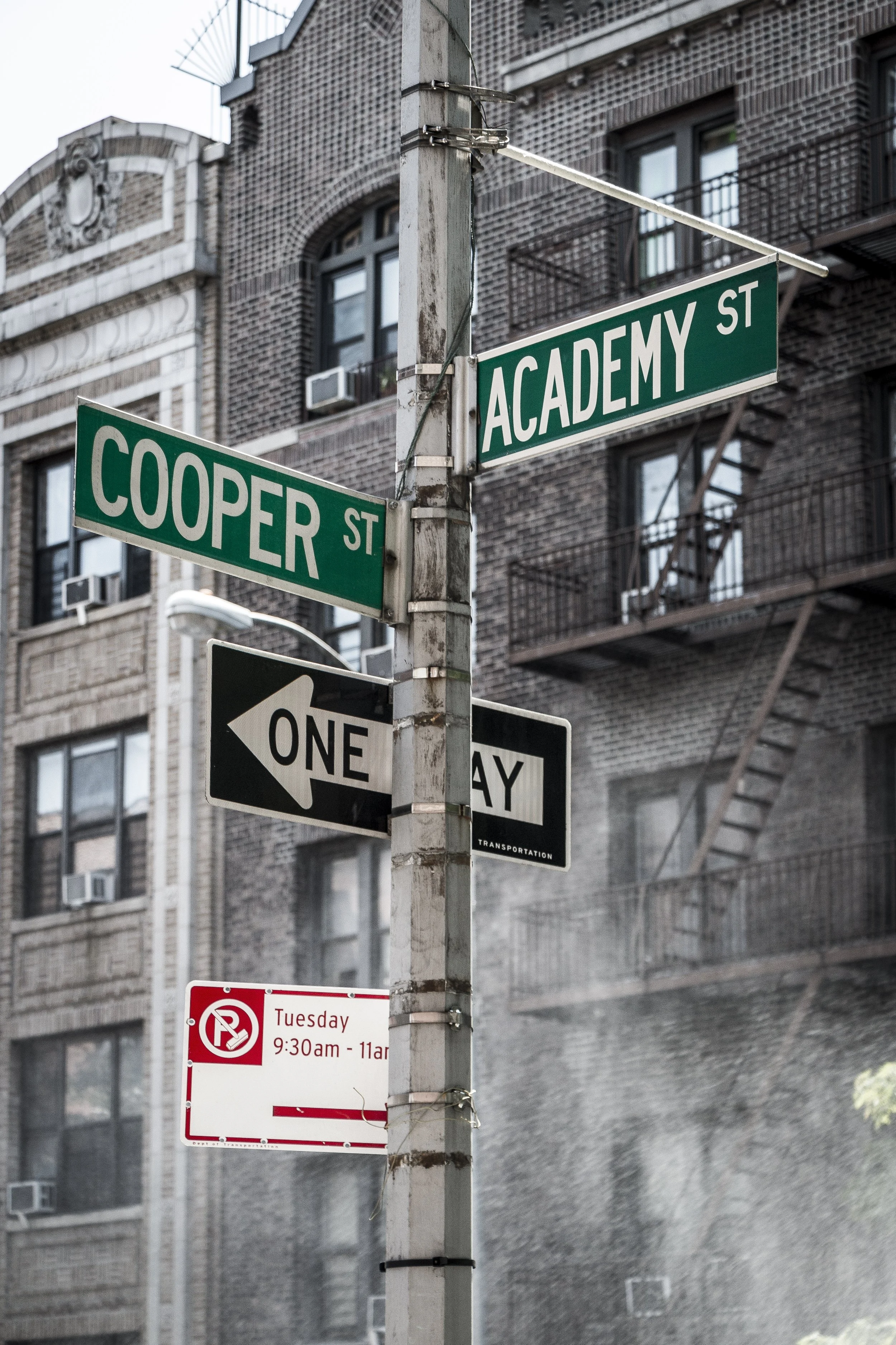
Occupying the northernmost tip of Manhattan, Inwood lies where the island meets the Spuyten Duyvil Creek and the Harlem River, bordered by Dyckman Street to the south and the waters of the Bronx to the north and east. Encircled by riverfront parks and steep, wooded ridges, Inwood feels both integral to and apart from the rest of New York — a place where the city’s origins and its last remaining wilderness coexist. Its boundaries hold a rare blend of natural beauty, archaeological depth, and community continuity: from the forested trails of Inwood Hill Park to the brick apartment houses along Broadway and Seaman Avenue, this is the point where Manhattan’s story begins and still endures.
Etymology and Origins
The name Inwood was adopted in the 19th century as development crept northward, inspired by the area’s position “in the woods.” The phrase was apt — and ancient. Long before European settlement, this land was home to the Lenape people, who called it Shorakapok, meaning “the edge of the waters.” For centuries, they fished from the Harlem River, hunted in the oak forests, and gathered along the tidal coves that once ringed the peninsula.
It was near this site, at the island’s northern tip, that Dutch explorers under Peter Minuit are said to have “purchased” Manhattan from the Lenape in 1626 — a transaction shrouded in legend but commemorated by the Shorakapok Rock within Inwood Hill Park. Whether myth or memory, the story underscores the area’s deep symbolic weight as the meeting point of two worlds.
The Neighborhood
17th–18th Centuries: Frontier and Farmland
After the Dutch established Nieuw Haarlem to the south, the northern portion of the island remained sparsely settled — a frontier of farms, orchards, and woodlots. By the 1700s, families such as the Dyckmans, Nagels, and Seamans owned large tracts here. Their stone houses and barns dotted the landscape, some enduring to this day.
During the Revolutionary War, Inwood’s ridges became part of the American defensive line anchored by Fort Washington. In November 1776, British and Hessian forces advanced through these woods in the battle that led to the fort’s capture. The redoubt known as Fort Tryon, built nearby, formed part of this same network — and its remnants still crown the hills above the Hudson.
After the war, Inwood returned to pastoral quiet. The Dyckman Farmhouse, rebuilt around 1784 and now preserved as the Dyckman Farmhouse Museum on West 204th Street, remains the oldest surviving house in Manhattan — a tangible link to the island’s agrarian past.
19th Century: From Estate to Suburb
Through most of the 1800s, Inwood was a countryside retreat for wealthy New Yorkers. Country estates lined the high ground along Seaman Avenue and Payson Avenue, their owners drawn by the area’s cool breezes and river views. Ferries connected the community to the Bronx and upper Harlem, while horse-drawn coaches rattled along Broadway.
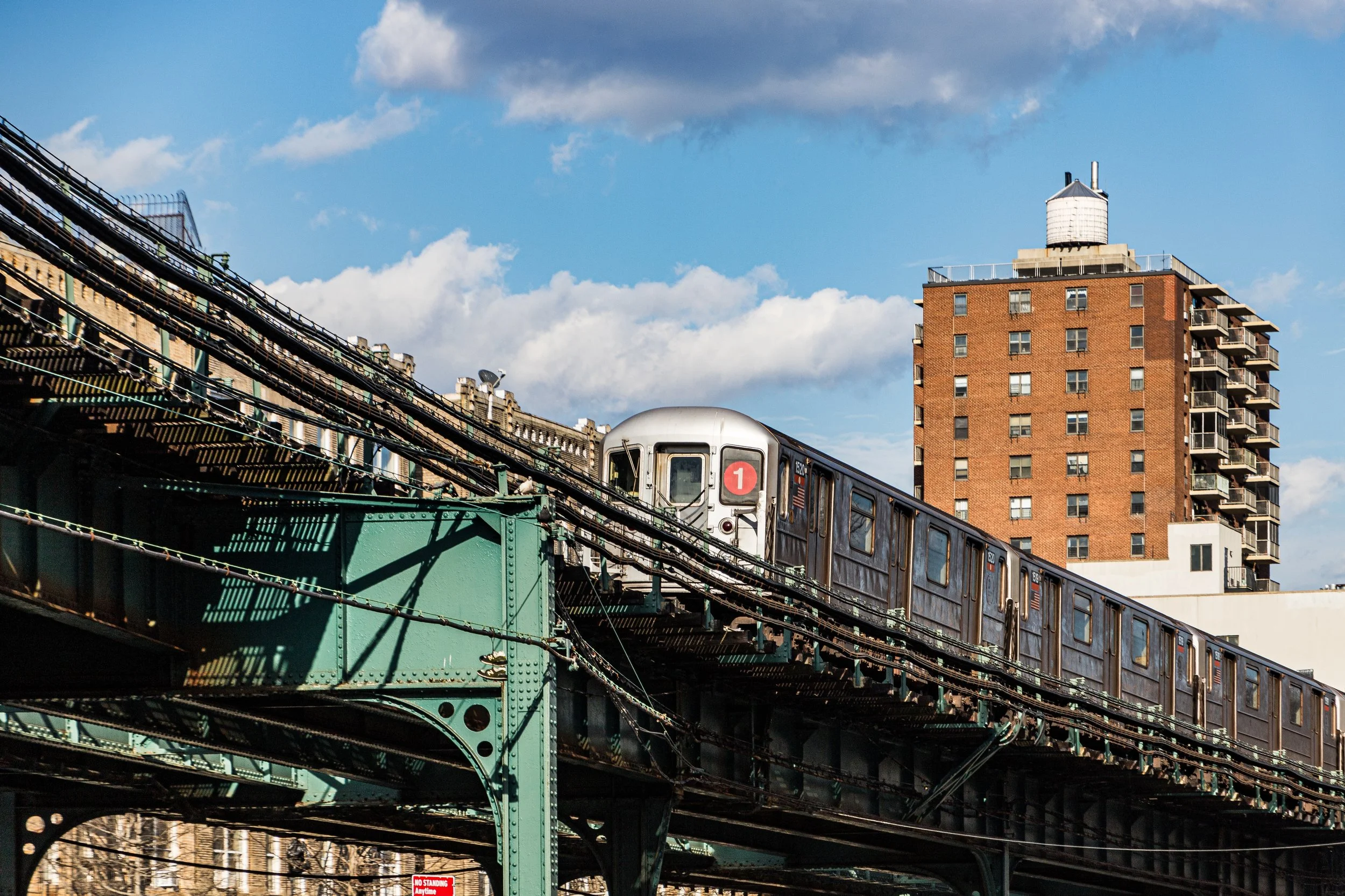
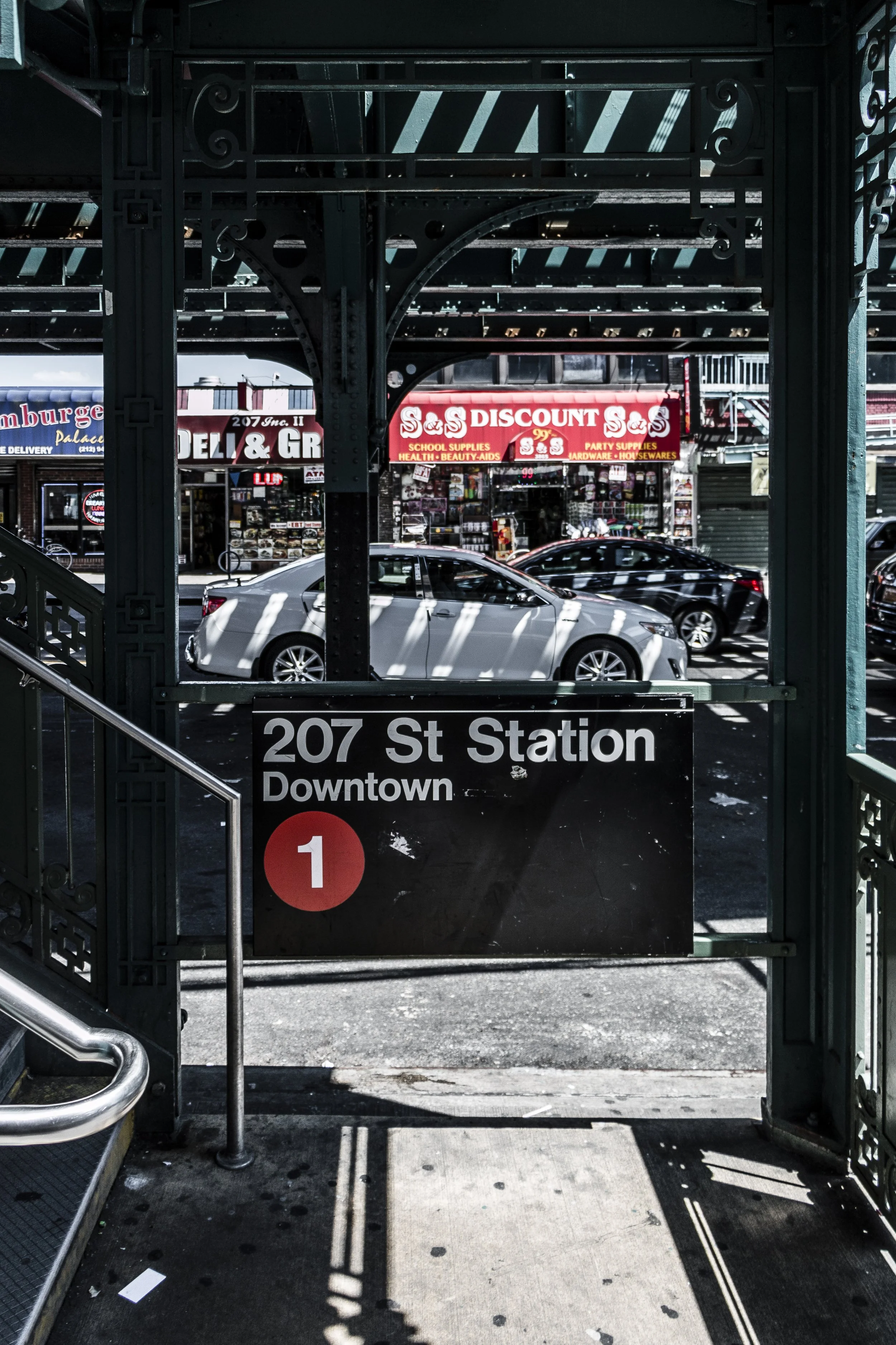
In 1906, the completion of the IRT subway’s Dyckman Street station transformed Inwood from rural outpost to residential frontier. Within two decades, apartment buildings replaced farms, their construction echoing the citywide boom of the 1920s. By 1930, Inwood had become a bustling working- and middle-class neighborhood, filled with prewar brick buildings whose Art Deco detailing and large courtyards gave them a sense of permanence and pride.
Early 20th Century: Urban Growth and Community
Inwood’s early 20th-century development reflected the optimism of its era. Broadway became its main artery, lined with shops, bakeries, and theaters. Schools, churches, and playgrounds anchored the new community. The Church of the Good Shepherd (1935) became a neighborhood landmark, its soaring bell tower visible across the low skyline.
The arrival of the subway fostered a population boom of Irish, Jewish, and Greek immigrants, followed later by Dominican families whose arrival from the 1960s onward reshaped the area’s cultural life. Throughout these transitions, Inwood retained its sense of local cohesion — a small-town ethos nested within the metropolis.
Inwood Photographic Video
Mid-20th Century: Nature and Neighborhood in Balance
While much of Manhattan surrendered its open land to development, Inwood’s geography preserved its green spaces. Inwood Hill Park, established in 1916, encompasses nearly 200 acres of forest, salt marsh, and meadow — the last tract of true old-growth woodland on Manhattan Island. Trails wind through glacial rock formations, caves once used by Lenape families, and overlooks offering views of the Henry Hudson Bridge and the Palisades beyond.
The park’s enduring wilderness gave the neighborhood a unique identity. It was — and remains — a place where city children could climb trees, watch hawks, and explore unpaved paths within sight of apartment towers. Generations of residents have cherished the park not merely as recreation, but as inheritance.
Late 20th Century: Resilience and Renewal
Like many New York neighborhoods, Inwood experienced economic challenges in the 1970s and 1980s, as the city faced fiscal crisis and waves of disinvestment. Yet Inwood’s relative isolation shielded it from the worst of the decline. Strong community organizations, including tenant associations and cultural groups, preserved its stability.
By the 1990s, Inwood had become the northern anchor of Manhattan’s Dominican diaspora, its streets alive with merengue music, open-air markets, and family-run businesses. Dyckman Street, once lined with Irish pubs, evolved into a vibrant corridor of restaurants and nightlife that reflected the neighborhood’s new identity.
21st Century: Preservation and Evolution
Inwood today stands at a crossroads of continuity and change. The neighborhood’s prewar architecture, riverfront parks, and tight-knit community have drawn new residents seeking affordability and greenery within Manhattan. At the same time, debates over rezoning and housing development have highlighted the tension between growth and preservation.
Community activism remains strong. The Inwood Historic District, designated in 2018, protects blocks of distinctive Art Deco and Tudor Revival apartment buildings — elegant survivors of the 1920s building boom. Meanwhile, environmental groups have worked to restore Inwood Hill Park’s salt marshes and maintain its delicate ecological balance.
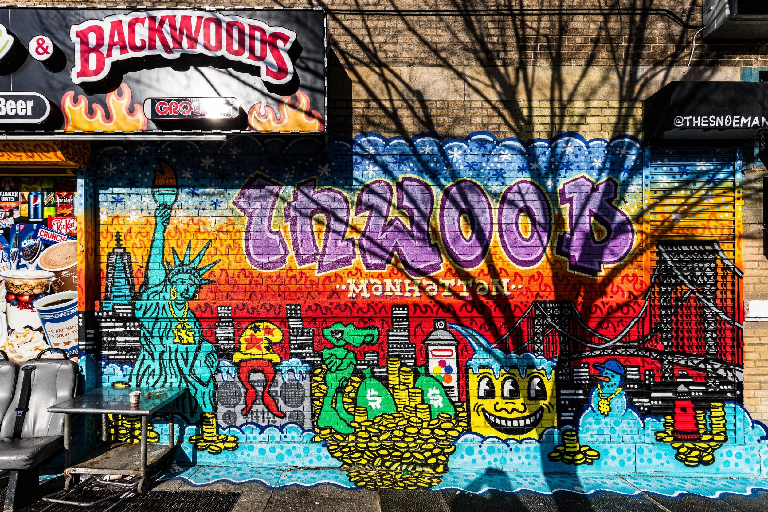
Inwood’s multicultural identity continues to evolve. Dominican, Caribbean, and South American cultures shape its rhythm and cuisine, while long-term residents and newcomers alike share pride in its history and natural beauty.
Inwood Photo Gallery
Architecture and Atmosphere
Architecturally, Inwood is defined by its prewar apartment buildings, many adorned with Art Deco motifs — sunbursts, zigzags, and terra-cotta details that celebrate craftsmanship. Their warm brick façades curve along sloping streets, giving the neighborhood a cohesive and human scale. Courtyard gardens, carved entrances, and corner towers create visual harmony.
The atmosphere is both urban and pastoral. Mornings bring joggers and dog walkers to Inwood Hill Park; afternoons bustle with open-air markets along Broadway; evenings fill with the laughter of children, the rhythm of bachata, and the smell of roasted corn from street vendors. From the bluffs at sunset, the Hudson shimmers in gold, and the city beyond seems softened by distance.
Spirit and Legacy
Inwood’s legacy is rooted in memory — the layered continuum of nature, history, and home. It is where Manhattan began, where its forests still whisper, and where its people continue to define community not by towers or trends, but by belonging.
New York City
Use this custom Google map to explore where every neighborhood in all five boroughs of New York City is located.
The Five Boroughs
One of New York City’s unique qualities is its organization in to 5 boroughs: Manhattan, Brooklyn, Queens, The Bronx, and Staten Island. These boroughs are part pragmatic administrative districts, and part vestiges of the region’s past. Each borough is an entire county in New York State - in fact, Brooklyn is, officially, Kings County, while Staten Island is, officially Richmond County. But that’s not the whole story …
Initially, New York City was located on the southern tip of Manhattan (now the Financial District) that was once the Dutch colony of New Amsterdam. Across the East River, another city was rising: Brooklyn. In time, the city planners realized that unification between the rapidly rising cities would create commercial and industrial opportunities - through streamlined administration of the region.
So powerful was the pull of unification between New York and Brooklyn that three more counties were pulled into the unification: The Bronx, Queens, and Staten Island. And on January 1, 1898, the City of New York unified two cities and three counties into one Greater City of New York - containing the five boroughs we know today.
But because each borough developed differently and distinctly until unification, their neighborhoods likewise uniquely developed. Today, there are nearly 390 neighborhoods, each with their own histories, cultures, cuisines, and personalities - and each with residents who are fiercely proud of their corner of The Big Apple.


