SUNNYSIDE
Staten Island
Geographic Setting
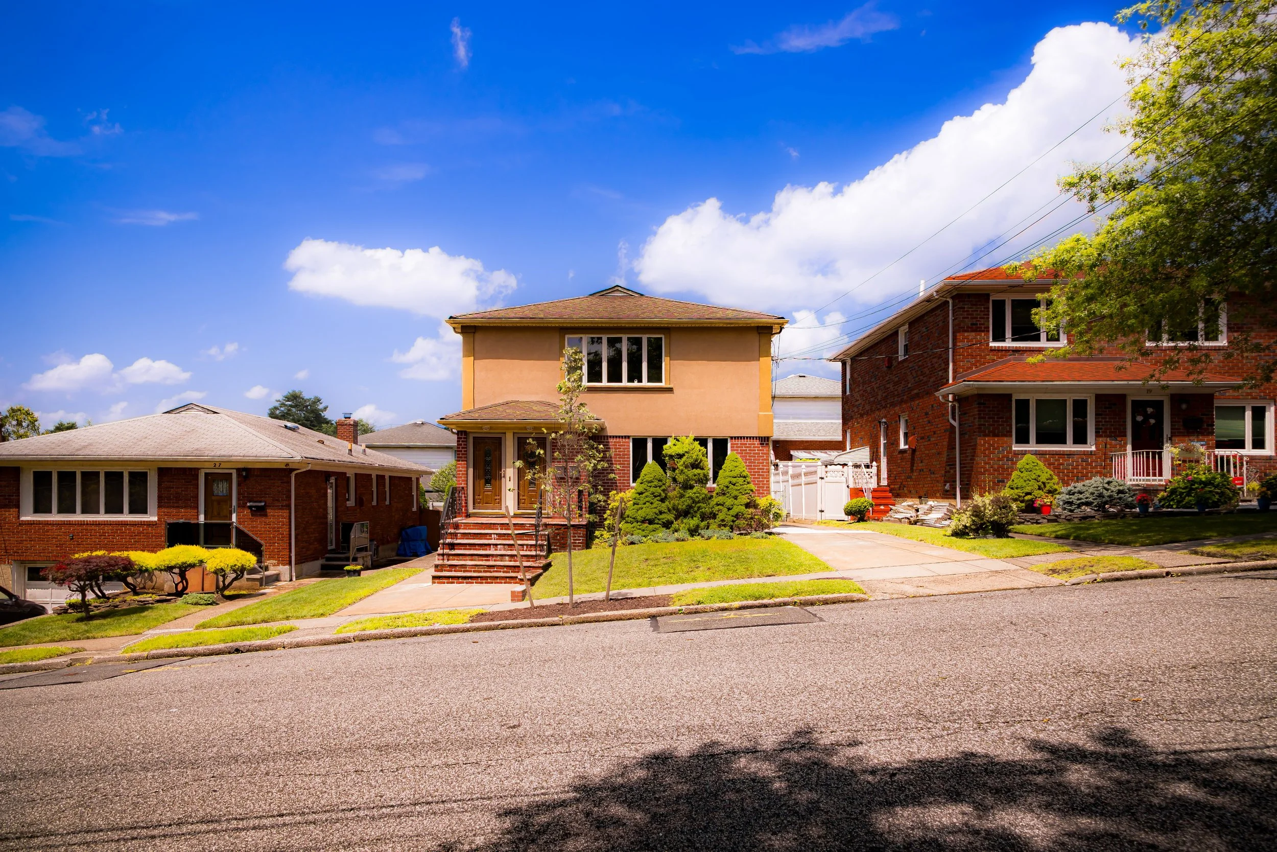
Bounded by the Staten Island Expressway to the south, Slosson Avenue to the west, Victory Boulevard and Clove Road to Cheshire Place to the north, Highland Avenue to the northeast, Howard Avenue to the east, and Clove Road to the southeast, Sunnyside occupies a picturesque bowl of tree-lined streets and gently sloping hillsides between Silver Lake Park and Clove Lakes Park in Staten Island’s North Shore highlands. Nestled between Castleton Corners to the west and Grymes Hill to the east, it serves as a residential bridge between the island’s civic heart and its greenbelt of parks and ridges.
The neighborhood’s setting is aptly named: a place of light, elevation, and leafy calm. Its winding residential lanes rise and fall over glacially sculpted terrain, affording glimpses of Silver Lake Reservoir, Clove Valley, and the harbor beyond. The area’s combination of pastoral beauty and central location—minutes from both the Staten Island Ferry and expressway—has made Sunnyside one of the island’s most enduringly desirable neighborhoods, balancing accessibility with an almost suburban serenity.
Etymology
The name Sunnyside reflects both geography and sentiment—a name chosen to evoke brightness, openness, and the warmth of hillside living. Though the origins of the term date to the late 19th century, its tone captures the suburban optimism of Staten Island’s early residential expansion. Developers promoted “Sunnyside Heights” and “Sunnyside Park” as ideal locations for family homes, emphasizing sunlight, green space, and the healthful advantages of elevation.
The name may also echo Washington Irving’s famed “Sunnyside” estate in Tarrytown, whose romantic associations with landscape and domestic charm appealed to the suburban imagination of the Victorian era. On Staten Island, Sunnyside came to denote not merely a place on the map but a vision of ideal living—an elevated enclave of civility and nature just beyond the city’s edge.
The Neighborhood
Origins through the 19th Century
Sunnyside’s development is rooted in Staten Island’s transformation from rural farmland to suburban refuge during the mid- to late-19th century. Before the construction of modern roads and rail lines, the area consisted of scattered farms and wooded tracts within what was then the township of Castleton. The high ground between Clove Road and Howard Avenue offered sweeping views of the harbor and was prized for its fresh air and fertile soil.
By the 1850s, wealthy New Yorkers seeking to escape Manhattan’s congestion began purchasing estates on Staten Island’s northern hills. The proximity of Silver Lake and Clove Lakes—both popular recreation spots—made the surrounding slopes especially desirable. The extension of Victory Boulevard (then Richmond Turnpike) and the establishment of reliable ferry service to St. George in the 1860s facilitated suburban settlement.
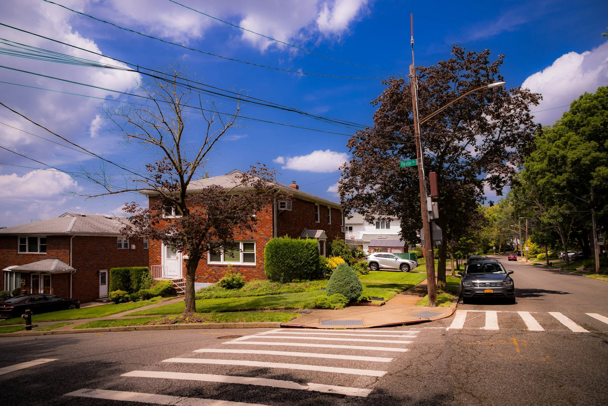
As the century advanced, landowners subdivided their holdings into residential plots, laying out curving streets that conformed to the hilly terrain. Large Victorian and Colonial Revival homes began to rise on spacious lots shaded by oaks and maples. Unlike the industrial waterfront districts below, Sunnyside emerged as a genteel, low-density enclave—an ideal compromise between country and city.
Early 20th Century: A Garden Suburb Takes Shape
By the early 1900s, Sunnyside had fully taken shape as a middle- and upper-middle-class residential community, defined by elegant architecture, manicured gardens, and tree-lined avenues. The neighborhood’s layout reflected the early ideals of the “garden suburb” movement—curvilinear streets, ample green space, and visual harmony with the surrounding landscape.
Victorian and Edwardian houses from this period still define much of Sunnyside’s character. Ornate Queen Anne homes with turrets and porches stood beside more restrained Colonial and Tudor Revivals built during the 1910s and 1920s. The area’s hills provided both natural beauty and protection from industrial encroachment, while the nearby Clove Lakes Park, developed in the 1920s under the leadership of Robert Moses, added a public complement to the neighborhood’s private greenery.
Sunnyside’s residents were drawn from Staten Island’s professional class—teachers, doctors, merchants, and city officials—who prized the neighborhood’s tranquility and proximity to St. George and the ferry. Churches, small markets, and corner shops dotted Victory Boulevard, giving the community a self-contained, village-like atmosphere. By the 1930s, Sunnyside was regarded as one of Staten Island’s model neighborhoods: quiet, leafy, and well-kept, with a strong sense of local pride.
Sunnyside Video Coming Soon
Mid–Late 20th Century: Continuity and Quiet Prosperity
The mid-20th century brought change to Staten Island on an unprecedented scale, yet Sunnyside weathered these transformations with remarkable stability. The opening of the Staten Island Expressway (1964) to the south altered traffic patterns but left the neighborhood’s residential core untouched. While many other areas of the borough experienced rapid suburbanization and dense new construction after the completion of the Verrazzano-Narrows Bridge, Sunnyside’s steep slopes and established zoning limited large-scale development.
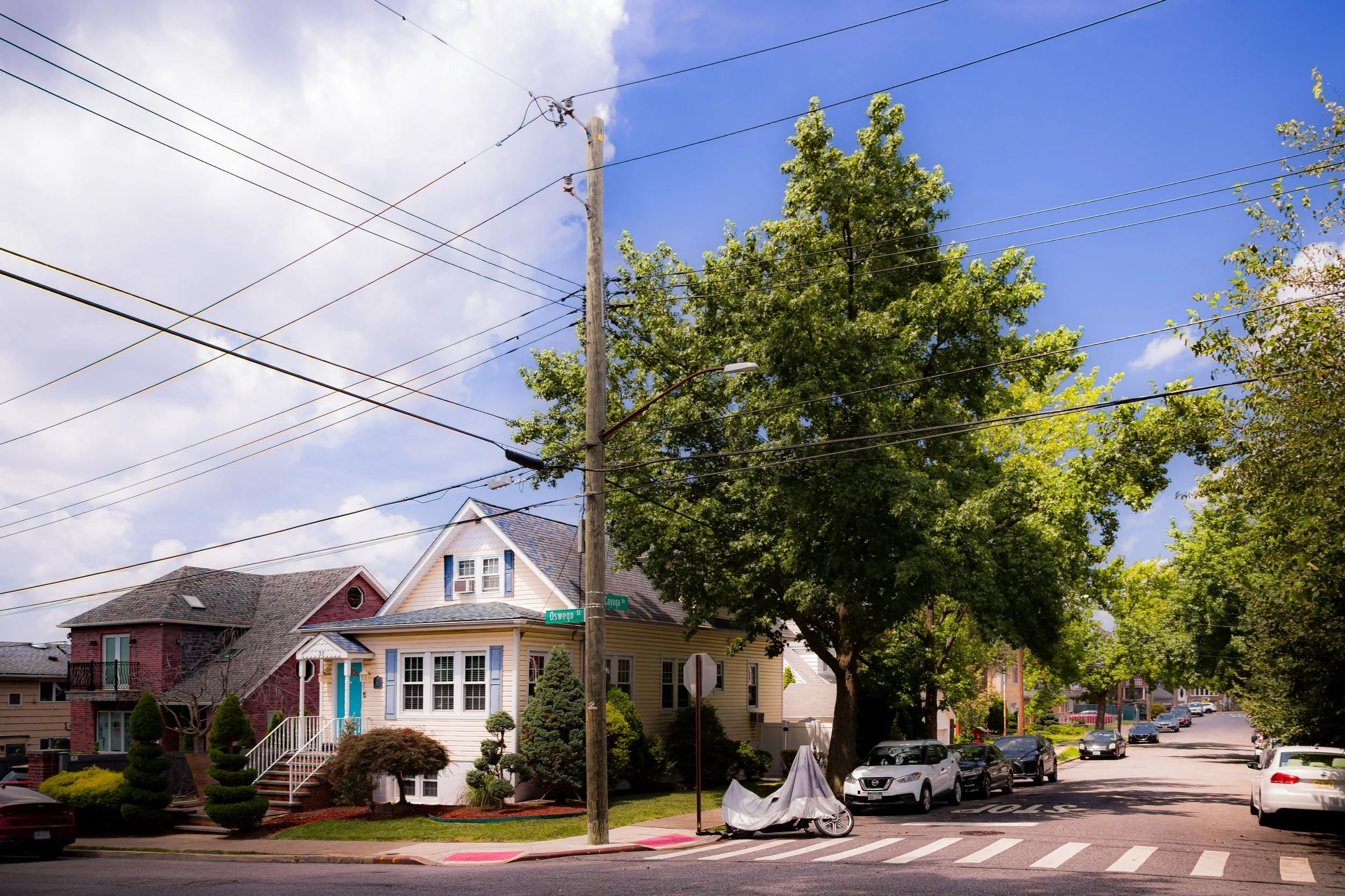
Its housing stock remained largely intact, with homeowners maintaining the stately prewar architecture and generous gardens that had long defined the community. The 1960s and 1970s also saw a growing emphasis on environmental stewardship, as residents rallied to preserve nearby green spaces such as Silver Lake Park and Clove Lakes Park, ensuring that the neighborhood’s pastoral setting would endure.
Socially, Sunnyside reflected Staten Island’s evolving demographics. Irish-, Italian-, and Jewish-American families predominated through much of the century, joined in later decades by newcomers from Eastern Europe and Asia. Local schools and civic associations remained anchors of neighborhood life, fostering a strong sense of continuity. The low turnover of homeowners preserved the community’s intergenerational character—neighbors knew each other, gardens were tended, and local traditions endured quietly amid the city’s constant motion21st Century: Preservation, Renewal, and Identity
In the 21st century, Sunnyside stands as one of Staten Island’s most sought-after neighborhoods—valued for its combination of historic charm, park access, and central location. The surrounding parkland, particularly Clove Lakes Park’s trails, ponds, and stone bridges, continues to provide residents with a landscape of calm and recreation unmatched in much of New York City. The neighborhood’s proximity to the Staten Island Expressway and Victory Boulevard offers easy access to St. George, Manhattan, and Brooklyn, while its elevation preserves a sense of distance from urban congestion.
Preservation efforts have intensified as residents seek to maintain the area’s architectural and environmental heritage. Many early-20th-century homes have been carefully restored, their original woodwork and façades revived after decades of wear. The neighborhood’s civic associations advocate for responsible zoning, historic integrity, and the protection of mature trees and hillside vistas.
Culturally, Sunnyside reflects Staten Island’s growing diversity. Its population now includes families and professionals from across the city and the world, drawn to its schools, green surroundings, and neighborly spirit. Cafés, small shops, and community centers along Victory Boulevard have adapted to new tastes while preserving the area’s modest scale. The balance of tradition and renewal defines the Sunnyside of today—a community grounded in history yet open to change, as bright and welcoming as its name suggests.
Sunnyside Photo Gallery
Spirit and Legacy
The spirit of Sunnyside lies in its harmony—between nature and architecture, past and present. It is a place where sunlight filters through hundred-year-old trees onto porches built by generations past, and where the hum of the city fades into the sound of birds from Clove Lakes Park. Its legacy is one of stewardship: residents who have cherished and protected a neighborhood that continues to offer calm within the metropolis.
Sunnyside endures as a testament to Staten Island’s quiet beauty—a reminder that even within New York City, there remain pockets where community, history, and landscape intertwine.
New York City
Use this custom Google map to explore where every neighborhood in all five boroughs of New York City is located.
The Five Boroughs
One of New York City’s unique qualities is its organization in to 5 boroughs: Manhattan, Brooklyn, Queens, The Bronx, and Staten Island. These boroughs are part pragmatic administrative districts, and part vestiges of the region’s past. Each borough is an entire county in New York State - in fact, Brooklyn is, officially, Kings County, while Staten Island is, officially Richmond County. But that’s not the whole story …
Initially, New York City was located on the southern tip of Manhattan (now the Financial District) that was once the Dutch colony of New Amsterdam. Across the East River, another city was rising: Brooklyn. In time, the city planners realized that unification between the rapidly rising cities would create commercial and industrial opportunities - through streamlined administration of the region.
So powerful was the pull of unification between New York and Brooklyn that three more counties were pulled into the unification: The Bronx, Queens, and Staten Island. And on January 1, 1898, the City of New York unified two cities and three counties into one Greater City of New York - containing the five boroughs we know today.
But because each borough developed differently and distinctly until unification, their neighborhoods likewise uniquely developed. Today, there are nearly 390 neighborhoods, each with their own histories, cultures, cuisines, and personalities - and each with residents who are fiercely proud of their corner of The Big Apple.


