SHEEPSHEAD BAY
Brooklyn
Geographic Setting
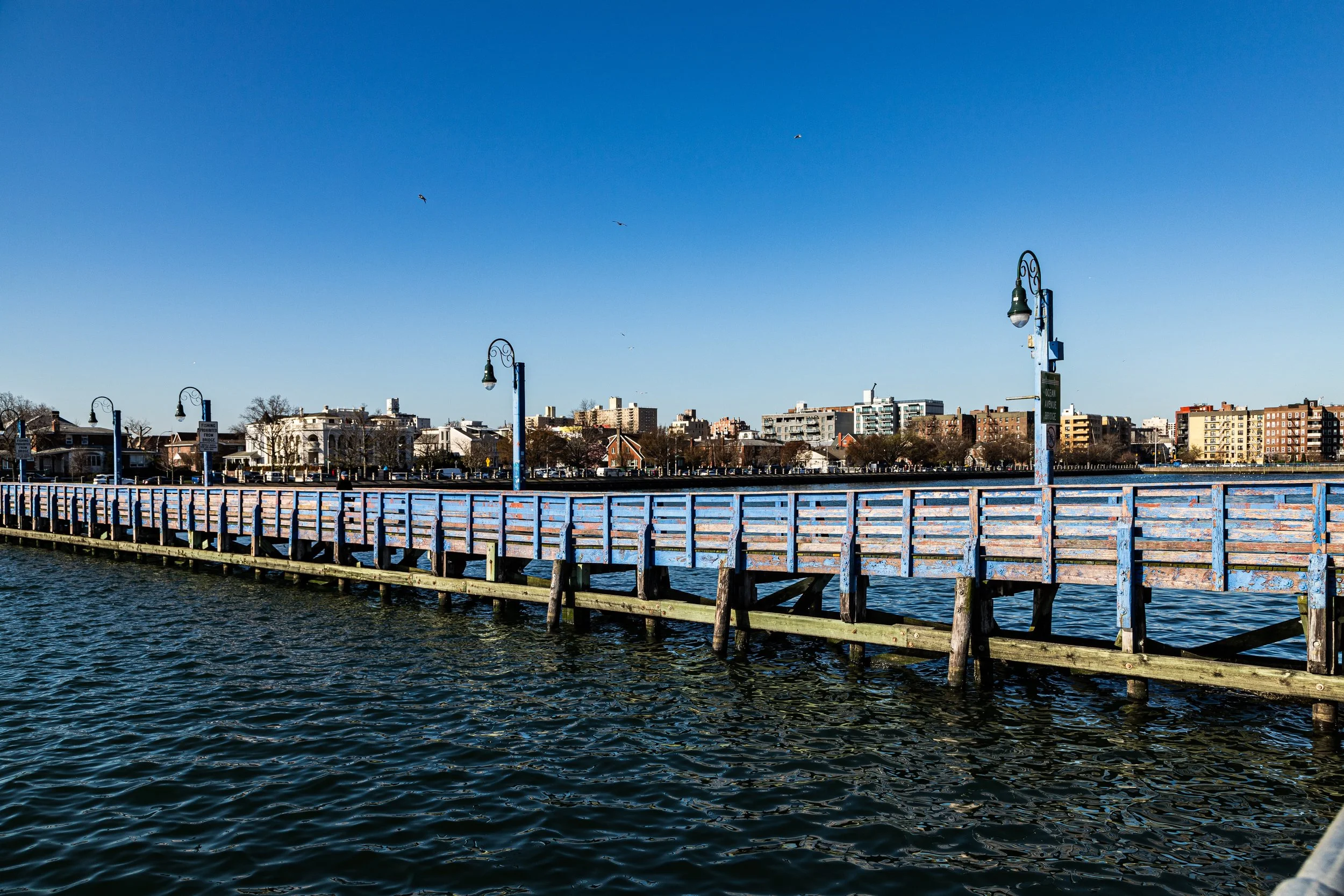
Bounded by the Sheepshead Bay inlet to the south, Avenue U to the north, Ocean Parkway to the west, and Knapp Street to the east, Sheepshead Bay occupies a glittering strip of southern Brooklyn defined by its maritime character and layered immigrant heritage. The neighborhood embraces both land and water: a low-lying grid of brick houses and apartment buildings leading toward the tidal basin that opens into Jamaica Bay and, beyond it, the Atlantic Ocean. The bay itself—a narrow, horseshoe-shaped inlet lined with docks, marinas, and seafood restaurants—remains the area’s visual and cultural heart.
The central spine of Emmons Avenue runs along the waterfront, its broad sidewalks overlooking rows of fishing boats, pleasure craft, and seafood shacks that have drawn generations of New Yorkers seeking leisure by the sea. To the north, Avenue Z and Avenue Y mark the neighborhood’s commercial corridors, while side streets such as Sheepshead Bay Road, East 14th Street, and Nostrand Avenue link the waterfront to inland Brooklyn. Though surrounded by urban density, Sheepshead Bay retains a distinctly coastal atmosphere—where the scent of salt air mingles with the hum of traffic, and gulls circle above the bay’s reflective surface.
Etymology and Origins
The name Sheepshead Bay originates from the sheepshead fish, a striped saltwater species abundant in the area’s waters during the colonial era. Dutch settlers in the 17th century called the region Scheepshaagte (“ship’s haven”), later Anglicized and associated with the fish that thrived along its muddy shores. The inlet itself—once a wide tidal creek cutting inland from Jamaica Bay—provided an ideal location for small fishing settlements and boat landings.
Throughout the 18th and early 19th centuries, the surrounding lands formed part of the rural Town of Gravesend, founded in 1643 under a charter from the Dutch West India Company. Farms, meadows, and marshlands dominated the landscape, producing hay, oysters, and vegetables for the Brooklyn and Manhattan markets. The bay’s natural harbor attracted fishermen and small traders, who established wharves and cottages along its northern shore.
The Neighborhood
19th Century: From Farmland to Resort Haven
Sheepshead Bay’s transformation began in the mid-19th century, as Brooklyn’s rapid urbanization pushed southward and the construction of rail lines—particularly the Manhattan Beach Branch of the Long Island Rail Road (1877)—opened the southern shore to tourism. Wealthy New Yorkers, drawn by the sea air and proximity to Coney Island, began frequenting the bay for boating, fishing, and dining.
By the 1880s, Sheepshead Bay had become a fashionable resort community. Grand hotels such as the Manhattan Beach Hotel (1877) and Oriental Hotel (1880) rose along the waterfront, drawing the same Gilded Age clientele who frequented Coney Island’s amusement palaces. Elegant carriage roads like Ocean Parkway, completed in 1876 and designed by Frederick Law Olmsted, provided a direct route from Prospect Park to the bay.
The opening of the Sheepshead Bay Racetrack in 1880, located just north of Avenue Z, cemented the neighborhood’s reputation as a playground for the elite. The racetrack—host to the famous Suburban Handicap—attracted gamblers, society figures, and sportsmen until its closure in 1910. Around it, developers laid out residential streets with detached cottages and seaside villas, advertising the area as “Brooklyn’s Riviera.”
Early–Mid 20th Century: Urbanization and Immigration
The turn of the century brought a new wave of development. With the decline of the racetrack and resort hotels, Sheepshead Bay evolved into a middle-class residential district, defined by its proximity to the water and access to the expanding subway system. The BMT Brighton Line (Q train), extended to Sheepshead Bay in 1908, connected the neighborhood directly to Manhattan, transforming it into a commuter suburb.
Through the 1920s–1940s, rows of brick and stucco houses, Art Deco apartment buildings, and bungalow-style homes replaced the old hotels. The bay itself became a working waterfront, lined with fishing fleets and seafood markets. Restaurants such as Lundy’s, opened in 1934 in a monumental Spanish Colonial Revival building on Emmons Avenue, became Brooklyn landmarks, famous for clams, chowder, and views of the docks.
The neighborhood’s population grew steadily, with large numbers of Italian, Jewish, and Irish families settling here during the interwar and postwar years. Schools, churches, and synagogues flourished; the Sheepshead Bay Yacht Club (founded 1908) and the Sheepshead Bay United Methodist Church anchored community life. The atmosphere blended the working-class energy of a fishing village with the stability of a suburban enclave.
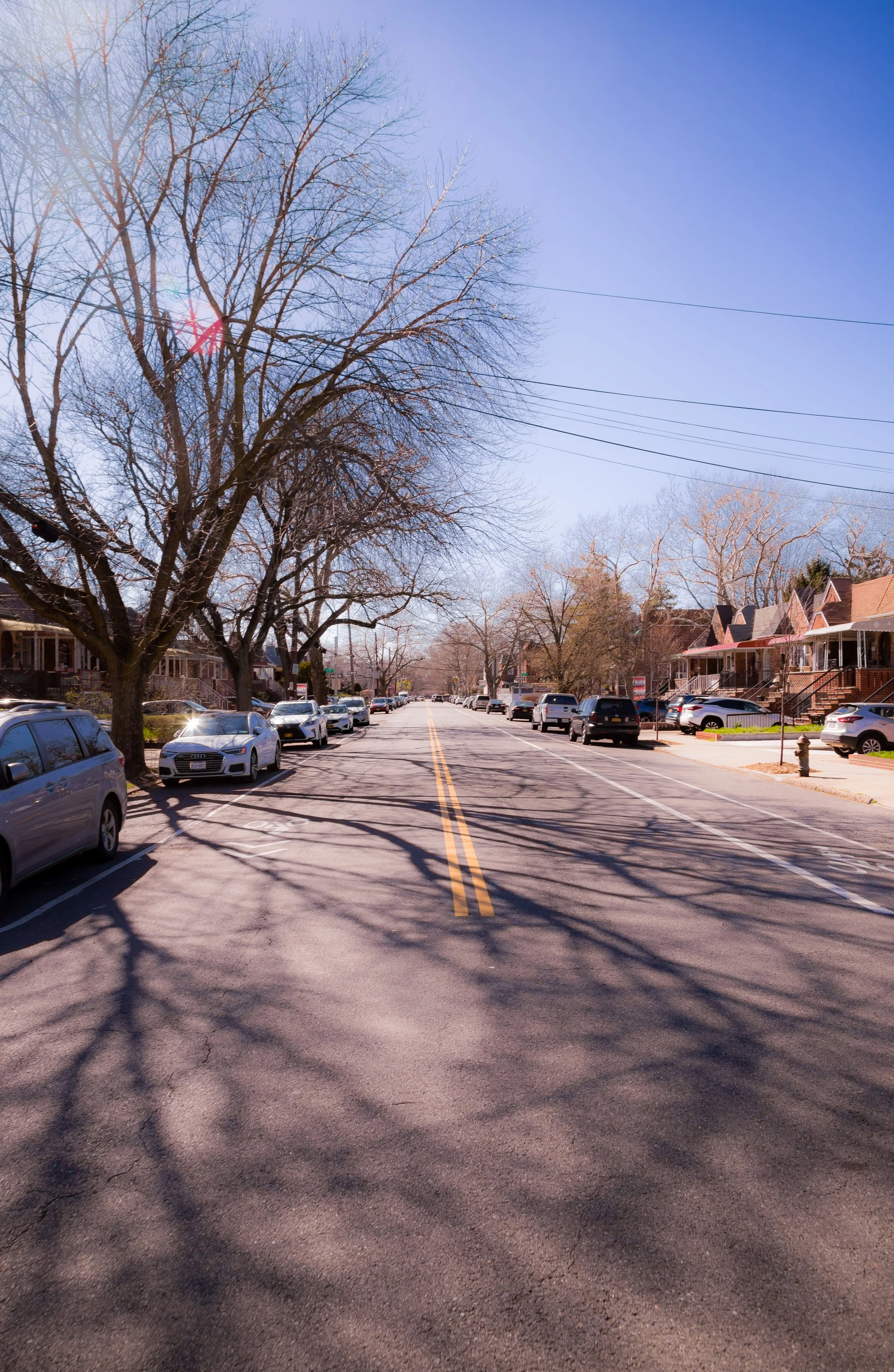
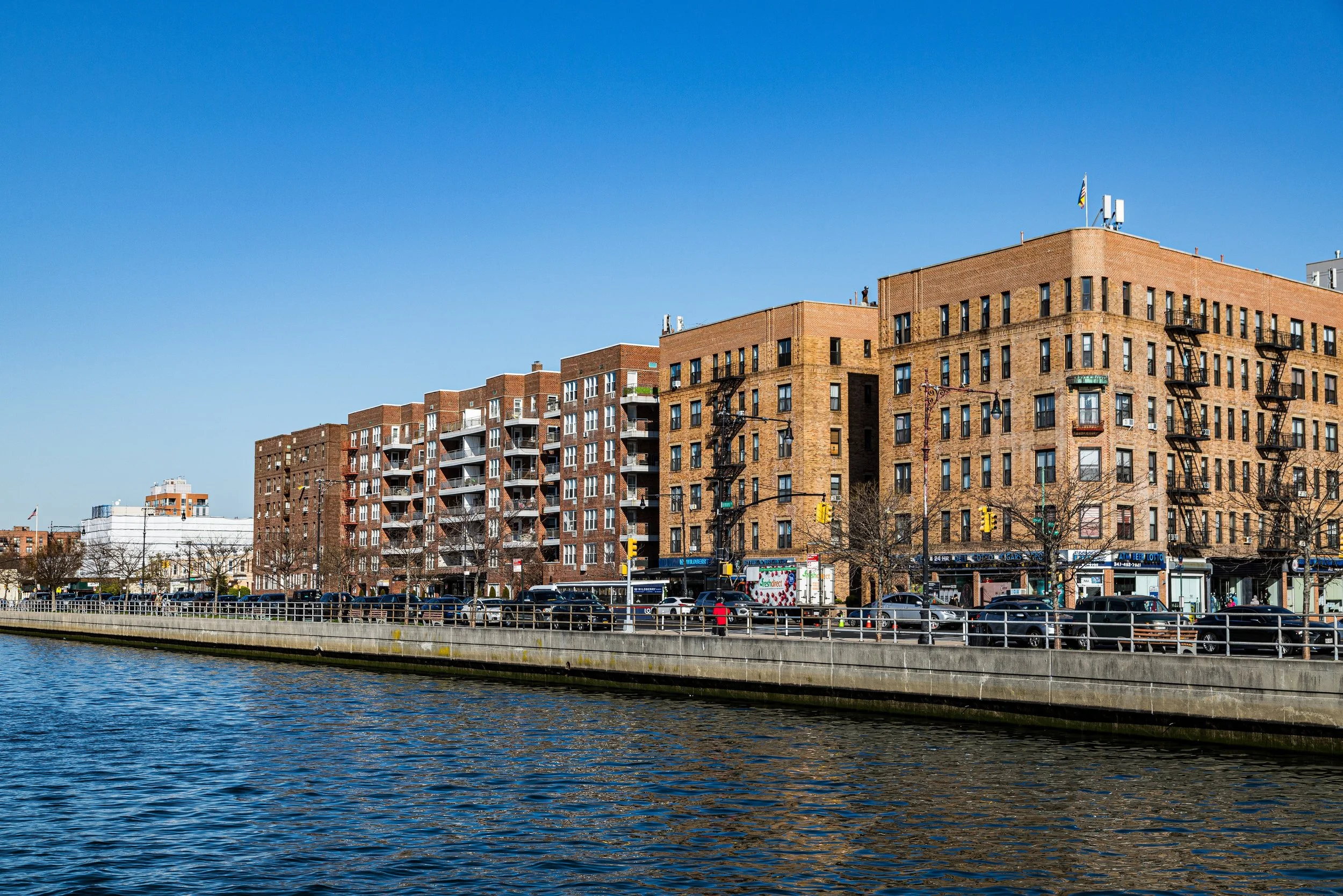
During the 1950s–1960s, Sheepshead Bay remained one of Brooklyn’s most desirable neighborhoods, prized for its clean air, proximity to the beach, and sense of safety. Apartment towers rose along Shore Parkway and Emmons Avenue, while single-family homes continued to dominate the inland blocks north of Avenue Z.
Sheepshead Bay Video Coming Soon
Late 20th Century: Renewal and Reinvention
The 1970s–1990s brought both decline and renewal. Like much of New York, Sheepshead Bay suffered from economic downturns, but its waterfront identity and solid housing stock helped it weather the storm better than many areas. The fishing fleet along Emmons Avenue continued to operate, and Lundy’s—though closed for a time—remained a beloved symbol of the neighborhood’s past.
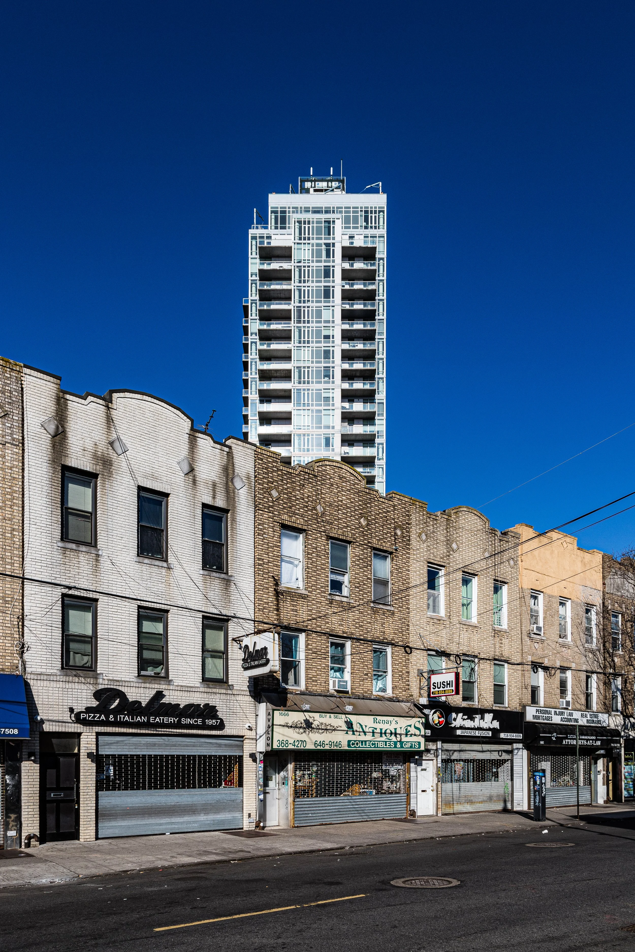
Demographically, Sheepshead Bay underwent a major shift in the late 20th century, as Russian, Ukrainian, and other post-Soviet immigrants began settling here in large numbers, joined by Chinese, Turkish, and Central Asian communities. Their arrival revitalized the commercial corridors of Sheepshead Bay Road, Neptune Avenue, and Emmons Avenue, transforming them into vibrant hubs of multilingual signage, international groceries, and restaurants ranging from kebab houses to sushi bars. The neighborhood’s older Italian and Jewish residents coexisted with these new populations, producing a unique cultural mosaic that remains one of Sheepshead Bay’s defining features.
Environmental activism also shaped this era. Decades of pollution and neglect had degraded the bay’s water quality, prompting local and city-led cleanup efforts in the 1980s–1990s. New piers, lighting, and walkways restored public access to the waterfront, ensuring that the bay remained a shared civic space rather than a forgotten industrial edge.
21st Century: Waterfront Living and Cultural Continuity
In the 21st century, Sheepshead Bay has emerged as one of southern Brooklyn’s most stable and culturally diverse neighborhoods. Its population includes long-established Italian and Jewish families, large Russian- and Ukrainian-speaking communities, Caribbean residents, and growing numbers of Chinese and Central Asian immigrants. This diversity finds expression in the local economy: on Sheepshead Bay Road, one can find kosher bakeries beside Uzbek teahouses, dim sum restaurants beside fish markets and pizzerias.
The waterfront has experienced a wave of redevelopment, with new condominiums, marinas, and parks transforming Emmons Avenue into a residential and recreational corridor. The Lundy’s building, restored in the early 2000s, now houses restaurants and shops, preserving its iconic façade as a link to the area’s maritime past. The Bay’s fishing boats, though fewer than in decades past, still set out daily—some for charter excursions, others for commercial catch—maintaining a tangible connection to the community’s origins.
While real estate pressures have increased, Sheepshead Bay retains its distinct character: urban yet low-rise, cosmopolitan yet familial, shaped by water, migration, and memory. Its schools, civic associations, and waterfront festivals reflect a pride in both history and ongoing renewal. The neighborhood’s blend of old Brooklyn rhythms and new immigrant energy ensures that the bay continues to hum with life long after the last catch of the day has been hauled in.
Sheepshead Bay Photo Gallery
Spirit and Legacy
The spirit of Sheepshead Bay is defined by resilience and reinvention by the water’s edge. From a Dutch fishing cove to a Gilded Age resort, from a working-class harbor to a multicultural residential hub, its story is one of adaptation without erasure. The bay itself—ever-changing, shimmering under gulls and tides—remains the neighborhood’s soul, reflecting both continuity and renewal.
New York City
Use this custom Google map to explore where every neighborhood in all five boroughs of New York City is located.
The Five Boroughs
One of New York City’s unique qualities is its organization in to 5 boroughs: Manhattan, Brooklyn, Queens, The Bronx, and Staten Island. These boroughs are part pragmatic administrative districts, and part vestiges of the region’s past. Each borough is an entire county in New York State - in fact, Brooklyn is, officially, Kings County, while Staten Island is, officially Richmond County. But that’s not the whole story …
Initially, New York City was located on the southern tip of Manhattan (now the Financial District) that was once the Dutch colony of New Amsterdam. Across the East River, another city was rising: Brooklyn. In time, the city planners realized that unification between the rapidly rising cities would create commercial and industrial opportunities - through streamlined administration of the region.
So powerful was the pull of unification between New York and Brooklyn that three more counties were pulled into the unification: The Bronx, Queens, and Staten Island. And on January 1, 1898, the City of New York unified two cities and three counties into one Greater City of New York - containing the five boroughs we know today.
But because each borough developed differently and distinctly until unification, their neighborhoods likewise uniquely developed. Today, there are nearly 390 neighborhoods, each with their own histories, cultures, cuisines, and personalities - and each with residents who are fiercely proud of their corner of The Big Apple.


