
EAST TREMONT
The Bronx
Geographic Setting
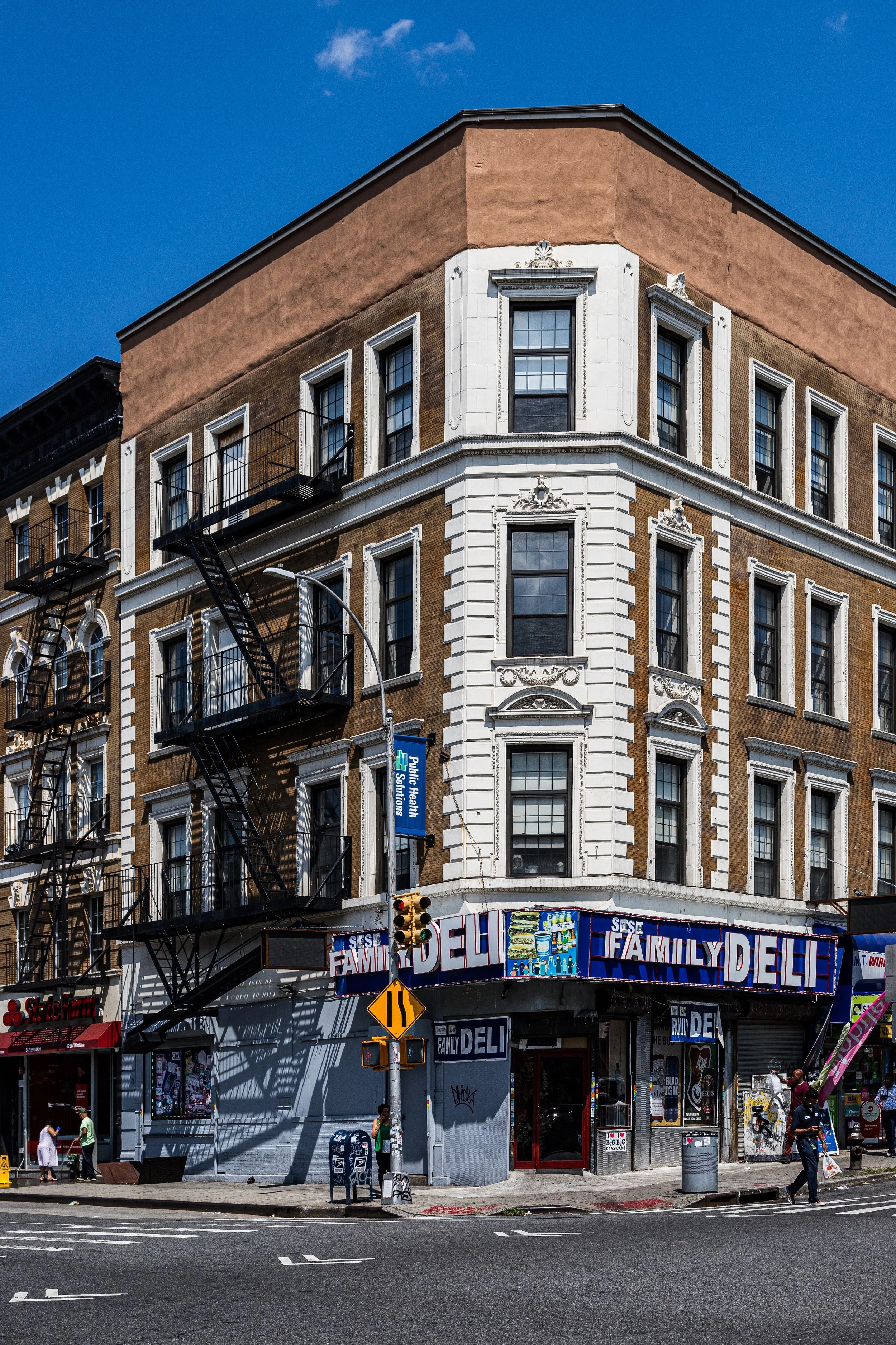
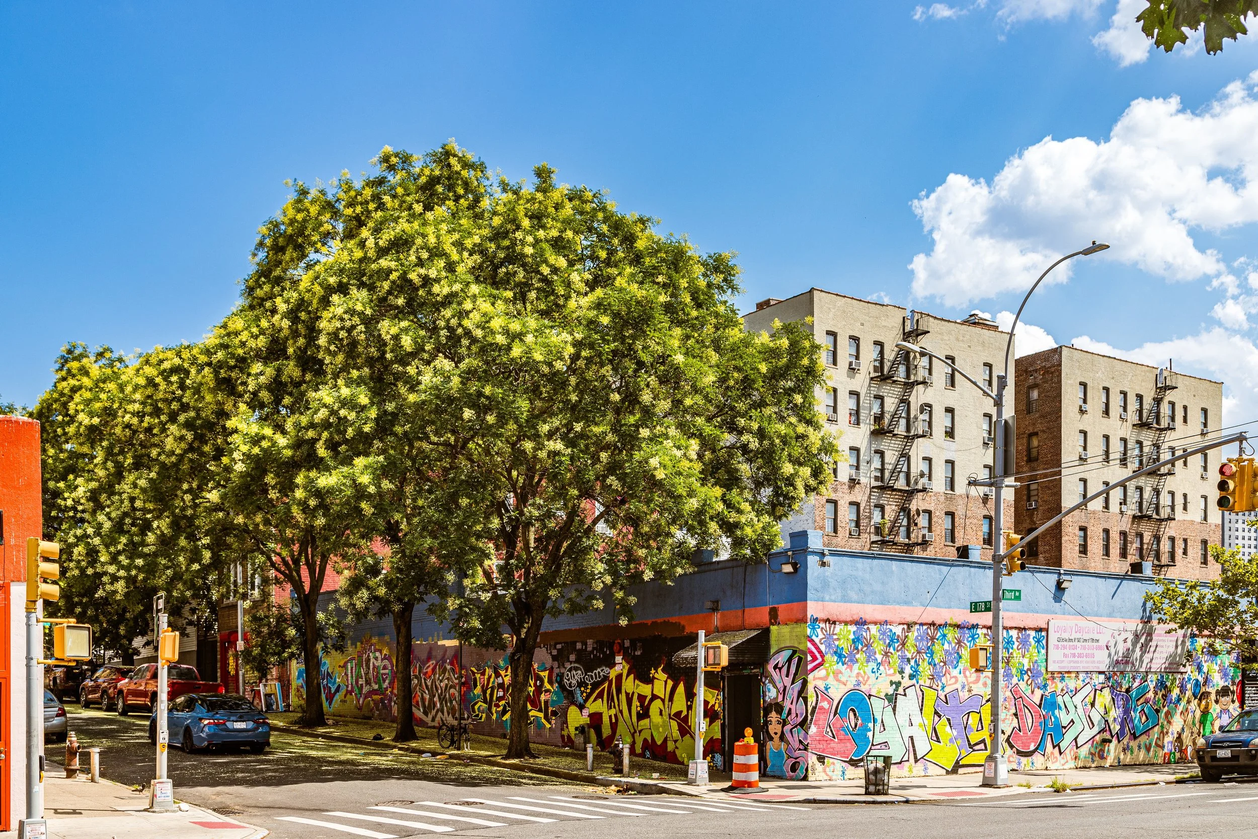
Bounded by the Cross Bronx Expressway to the south, Webster Avenue to the west, East 180th Street to the north, and Southern Boulevard to the east, East Tremont occupies the central spine of the Bronx—an energetic, densely built neighborhood wedged between the green slopes of Bronx Park and the industrial valleys of West Farms. Its position astride the Tremont Avenue corridor, historically one of the borough’s major east–west routes, gives it both its name and its pulse. The area’s grid of Tremont Avenue, Crotona Avenue, Arthur Avenue, and Bathgate Avenue supports a patchwork of prewar apartment buildings, rowhouses, and mid-century infill housing, forming a quintessential Bronx streetscape of stoops, corner stores, and close-knit blocks.
To the north lies Bronx Park, with the Bronx Zoo and New York Botanical Garden, offering a vast natural backdrop just beyond East Tremont’s urban edges. The Cross Bronx Expressway, cutting through the southern boundary, separates the neighborhood from Fairmont and Morrisania, yet overpasses at Webster and Third Avenues keep it connected. Along Webster Avenue, automotive shops and warehouses give way to commercial strips, while Southern Boulevard anchors the neighborhood’s eastern border with a rhythm of bodegas, churches, and bus routes humming toward Crotona Park and Hunts Point.
Etymology
The name “Tremont” first appeared in the 1840s, derived from the Latin tres montes—meaning “three hills.” Early settlers used the name to describe the triad of ridges that once characterized this part of the Bronx, though their exact locations have long been absorbed by development. As the city expanded, “Tremont” came to identify the larger district that stretched across the central Bronx, while “East Tremont” distinguished the neighborhood east of the original Tremont Avenue business district, near the crest of the Bronx River valley.
By the early 20th century, the name had become synonymous with working-class respectability—a neighborhood tied together by the Tremont Avenue thoroughfare and its vibrant commercial life.
The Neighborhood
Origins through the 19th Century
Before its urbanization, the land that became East Tremont was part of the Town of West Farms, annexed by New York City in 1874. The region consisted of farmland, wooded slopes, and country estates owned by families such as the Lorillards, whose nearby tobacco factory on the Bronx River was among the first industrial sites in the borough. The construction of Tremont Avenue in the mid-19th century and the arrival of the New York and Harlem Railroad along Webster Avenue opened the area to development.
By the 1880s, the grid of streets had been mapped, and speculative builders began to erect small frame houses and tenement buildings to accommodate the influx of Irish and German immigrants working in nearby factories. The opening of Bronx Park (1888) and the Bronx Zoo (1899) further enhanced the area’s appeal. Tremont Avenue became a bustling transit route, lined with streetcar tracks and small businesses serving both residents and visitors to the park.
Early 20th Century: Immigrant Growth and Urban Vitality
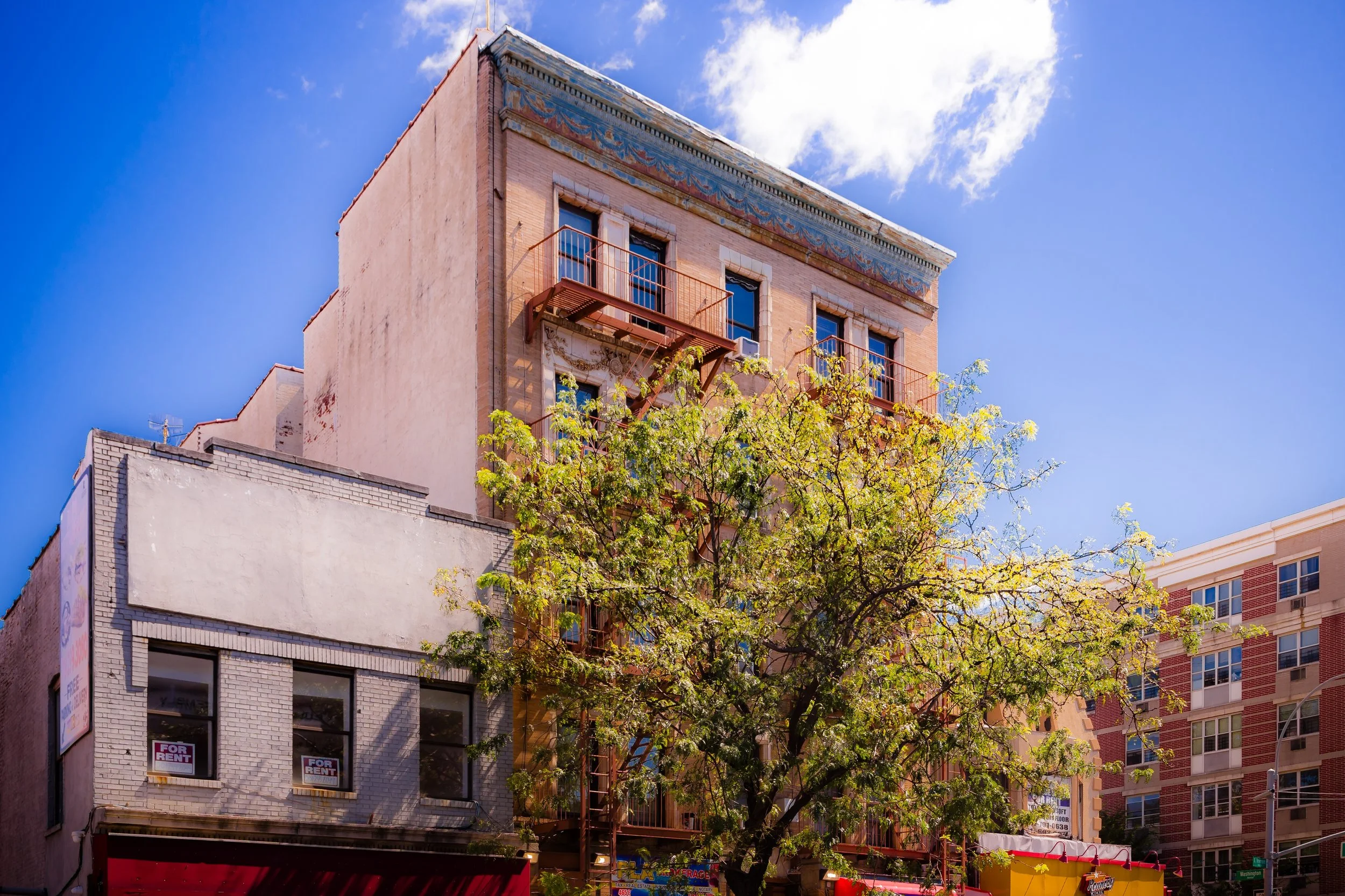
Between 1900 and 1940, East Tremont experienced rapid transformation. New five- and six-story brick apartment buildings replaced wooden houses, catering to a growing population of Jewish, Italian, and Irish working- and middle-class families moving north from Manhattan’s Lower East Side. The neighborhood’s proximity to the subway—particularly the IRT White Plains Road Line (now the 2 and 5 trains at West Farms Square–East Tremont Avenue)—made it a convenient and desirable location for those seeking modern housing.
Tremont Avenue itself evolved into a lively commercial corridor filled with kosher bakeries, delis, theaters, clothing shops, and candy stores. Religious and civic institutions flourished: synagogues such as Young Israel of Tremont, churches like St. Joseph’s, and public schools such as P.S. 6 anchored neighborhood life. The combination of dense housing, cultural pluralism, and access to green spaces gave East Tremont a vibrant, self-sustaining character typical of the Bronx’s prewar heyday.
East Tremont Video Coming Soon
Mid–Late 20th Century: Decline, Displacement, and Survival
The decades following World War II brought both progress and upheaval. As the original white ethnic residents moved to the suburbs in the 1950s, East Tremont saw an influx of Puerto Rican and African-American families, many displaced from other parts of the city by urban renewal projects. The opening of the Cross Bronx Expressway (1948–1972), engineered by Robert Moses, devastated the community—hundreds of buildings were demolished, and the new highway created a physical and psychological barrier that severed East Tremont from neighboring districts.
Economic decline, redlining, and neglect led to widespread building abandonment during the 1970s. Fires ravaged blocks south of East Tremont Avenue, and vacant lots proliferated. Yet even in its hardest years, East Tremont’s sense of community persisted. Churches, block associations, and local businesses continued to serve residents. The neighborhood’s famed Charlotte Street, once an emblem of urban ruin, became a stage for renewal: community-led rebuilding efforts in the 1980s, supported by city housing programs, replaced burned-out blocks with rows of new single-family homes—symbols of resilience that inspired similar efforts across the South Bronx.
21st Century: Revitalization and Cultural Continuity
In the 21st century, East Tremont has experienced significant reinvestment and renewal while retaining its working-class identity. New affordable housing developments, rehabilitated prewar buildings, and community gardens have transformed the landscape once dominated by vacant lots. Louis Niñé Boulevard, named for the Puerto Rican activist and assemblyman who represented the Bronx in the 1970s, now embodies the neighborhood’s civic pride.
East Tremont Avenue remains the neighborhood’s commercial heartbeat, lined with restaurants, markets, and salons reflecting the district’s cultural mosaic—Puerto Rican, Dominican, Mexican, West African, and Bangladeshi. Proximity to Crotona Park and Bronx Park provides green relief, while improved transit and pedestrian infrastructure reconnect residents to the borough’s larger networks.
The community’s schools and cultural centers—such as PS 214 (The Lorraine Hansberry Academy) and the Bronx River Arts Center nearby—foster education and creativity. Festivals and parades celebrating Hispanic heritage and Bronx unity fill Tremont Avenue each summer, echoing the area’s long tradition of street life and public gathering.
East Tremont Photo Gallery
Spirit and Legacy
The spirit of East Tremont lies in its capacity for reinvention without erasure. Every wave of residents has left its mark—from the Jewish delis of the 1930s to the salsa rhythms of the 1970s and the multilingual vitality of today. The neighborhood’s story mirrors that of the Bronx itself: upheaval, endurance, and regeneration, bound together by a fierce pride in community.
New York City
Use this custom Google map to explore where every neighborhood in all five boroughs of New York City is located.
The Five Boroughs
One of New York City’s unique qualities is its organization in to 5 boroughs: Manhattan, Brooklyn, Queens, The Bronx, and Staten Island. These boroughs are part pragmatic administrative districts, and part vestiges of the region’s past. Each borough is an entire county in New York State - in fact, Brooklyn is, officially, Kings County, while Staten Island is, officially Richmond County. But that’s not the whole story …
Initially, New York City was located on the southern tip of Manhattan (now the Financial District) that was once the Dutch colony of New Amsterdam. Across the East River, another city was rising: Brooklyn. In time, the city planners realized that unification between the rapidly rising cities would create commercial and industrial opportunities - through streamlined administration of the region.
So powerful was the pull of unification between New York and Brooklyn that three more counties were pulled into the unification: The Bronx, Queens, and Staten Island. And on January 1, 1898, the City of New York unified two cities and three counties into one Greater City of New York - containing the five boroughs we know today.
But because each borough developed differently and distinctly until unification, their neighborhoods likewise uniquely developed. Today, there are nearly 390 neighborhoods, each with their own histories, cultures, cuisines, and personalities - and each with residents who are fiercely proud of their corner of The Big Apple.


