EASTCHESTER
The Bronx
Geographic Setting
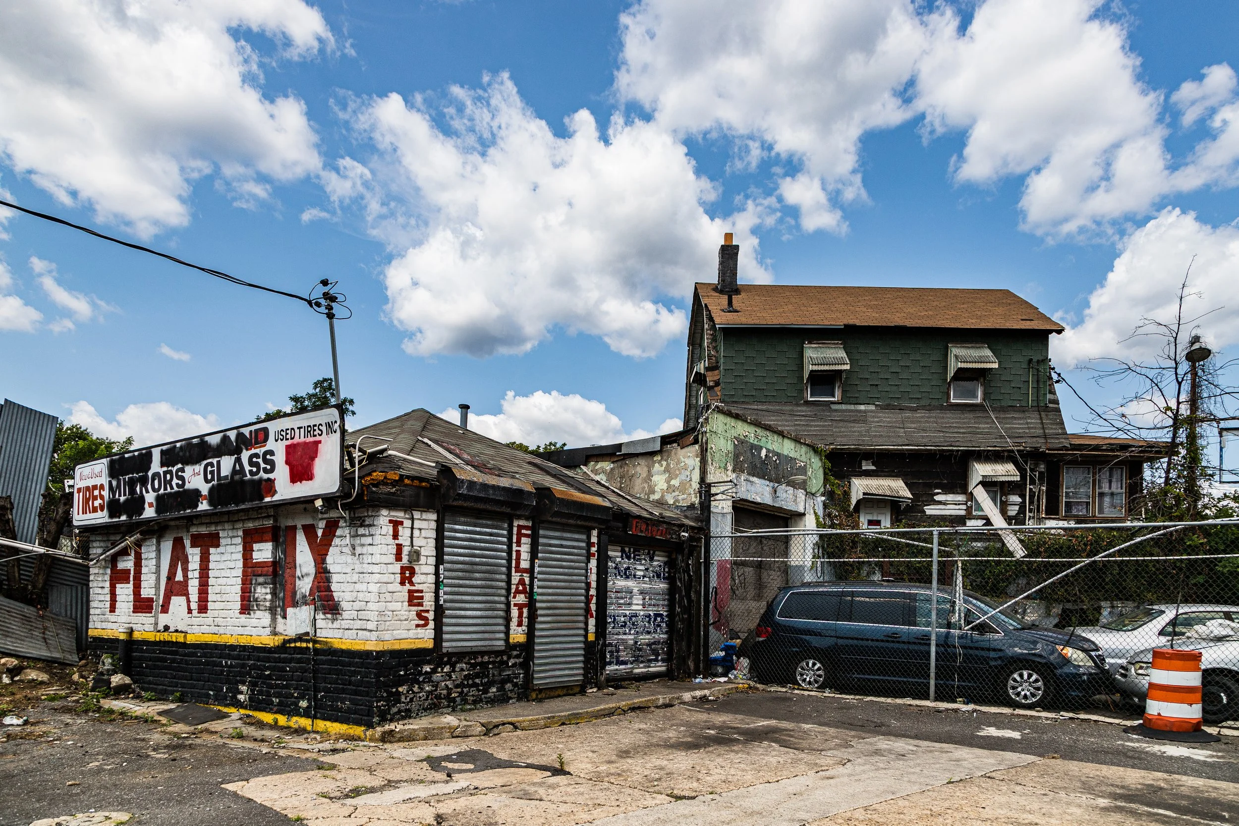
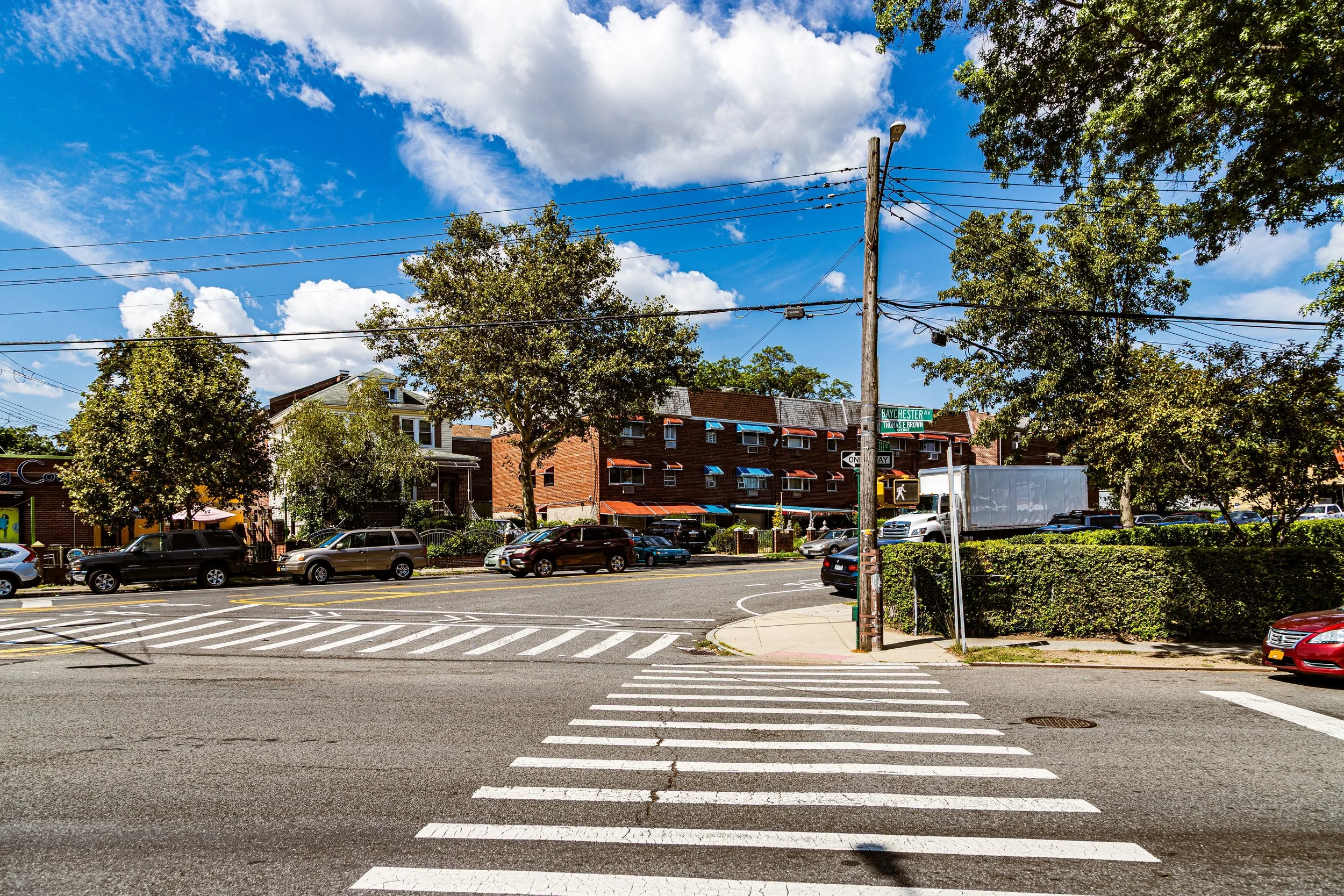
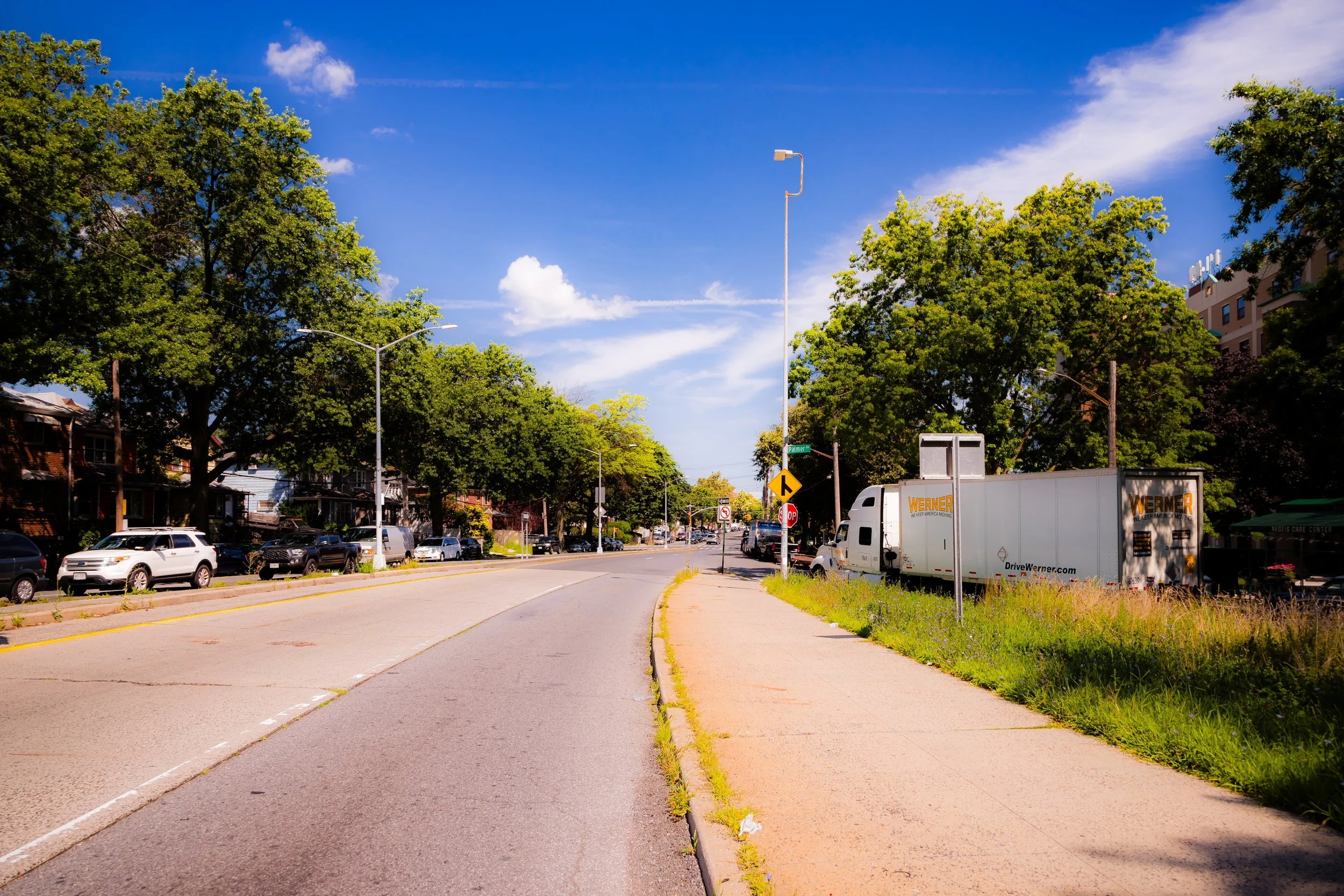
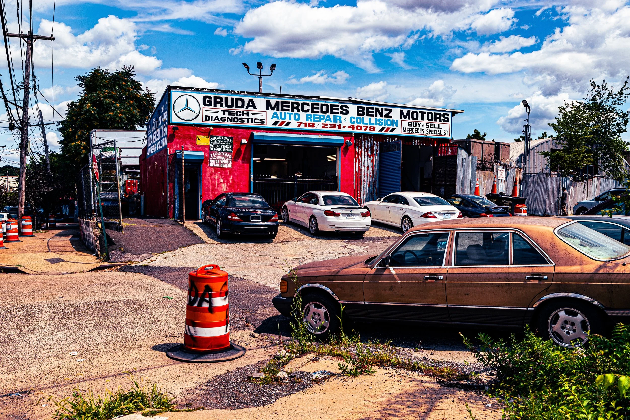
Bounded by Co-op City Boulevard to the south, East 222nd Street to the southwest, Boston Road to the west, Westchester County to the north, and the Hutchinson River to the east, Eastchester occupies the far northeastern edge of the Bronx—a neighborhood of winding residential streets, parkland, and quiet persistence. Although largely urbanized today, its layout retains the feel of a suburban hamlet, with single- and two-family homes, small apartment houses, and clusters of churches and schools spread along tree-lined blocks.
The neighborhood’s geography is distinct: it sits on the low ridge between the Bronx River valley and the tidal reach of the Hutchinson River, with Seton Falls Park at its core—a rugged, wooded ravine and waterfall that preserves one of the borough’s last vestiges of original forest. Major thoroughfares—Boston Road, Edenwald Avenue, and Dyre Avenue—serve as the community’s main arteries, connecting Eastchester southward to Wakefield, eastward to Co-op City, and northward to the suburban town of Eastchester in Westchester County from which it draws its name. Despite its quiet streets and residential scale, the neighborhood’s boundaries also brush the industrial edges of the Hutchinson River and the elevated spans of the New England Thruway, creating a landscape where suburb and city, forest and freeway, coexist within a few blocks’ distance.
Etymology
The name “Eastchester” is among the oldest in the Bronx, originating in the 17th century. In 1664, English settlers from Fairfield, Connecticut—led by Thomas Pell, who had purchased land from the local Siwanoy people—established a settlement they called East Chester (to distinguish it from nearby Westchester). The name reflected both geography and lineage: “chester” derived from the Old English ceaster, meaning a Roman fort or town, and “east” signified its position relative to the older village of Westchester to the south.
When the City of New York annexed the western half of the original Town of Eastchester in 1895, the name persisted as a borough neighborhood, while the remainder became the independent Town of Eastchester in Westchester County. Thus, the Bronx’s Eastchester represents both a continuation and a transformation of the colonial township that gave rise to it—a name surviving through centuries of shifting boundaries and urban growth.
The Neighborhood
Origins through the 19th Century
Long before colonial settlement, the Eastchester tract was part of the territory of the Siwanoy, who hunted and fished along the Hutchinson River’s tidal creeks. The English settlers who arrived in the 1660s established a modest agrarian community centered on what is now the border between the Bronx and Westchester. Early Eastchester was a landscape of farms, mills, and wooded commons.
During the 18th century, the area remained largely rural, dotted with estates and small hamlets connected by Boston Post Road (now Boston Road), a crucial colonial route between New York and New England. The Revolutionary War brought skirmishes and troop movements through its fields, but the settlement endured. By the 19th century, the introduction of rail and trolley lines linked the area more closely to the growing metropolis, transforming farmland into suburban plots and small industrial clusters.
The arrival of the New Haven Railroad (1840s) and later the New York, Westchester & Boston Railway (1912) made Eastchester accessible to commuters while preserving its low-rise character. The community’s enduring landmarks—its churches, small frame houses, and road alignments—still trace their lineage to these early transit and settlement patterns.
Early 20th Century: Suburban Expansion and Civic Identity
The early 20th century marked Eastchester’s transition from rural outpost to organized urban neighborhood. After the Bronx’s consolidation into New York City (1898), the city extended water, sewer, and electric infrastructure northward, encouraging development along Boston Road, Edenwald Avenue, and Dyre Avenue. Small-scale builders erected brick and stucco homes on subdivided farmland, catering to the aspirations of middle-income families seeking suburban life within the five boroughs.
The creation of Seton Falls Park in the 1930s preserved a tract of wooded land centered around a cascading waterfall on Rattlesnake Brook. Named after Elizabeth Ann Seton, the first American-born Catholic saint, the park became the neighborhood’s defining green space and an enduring symbol of its natural heritage. Churches such as St. Frances of Rome (1920s) and community centers anchored social life, while the newly constructed East 233rd Street–Dyre Avenue subway line (opened 1917, later absorbed into the 5 train) linked Eastchester directly to Manhattan.
During this era, Eastchester retained a semi-rural charm even as its population grew. Gardens, corner stores, and parochial schools created a small-town rhythm, distinct from the denser apartment districts farther south.
Eastchester Video Coming Soon
Mid–Late 20th Century: Change, Division, and Community Resilience
The mid-century decades brought both transformation and challenge. The construction of the New England Thruway (I-95) and Hutchinson River Parkway reshaped the neighborhood’s edges, isolating Eastchester from the waterfront and dividing long-established blocks. Postwar demographic shifts accelerated as African-American and Caribbean families moved north from Harlem and the South Bronx during the 1950s–1970s, attracted by affordable housing and the area’s relative stability.
As nearby neighborhoods like Edenwald and Wakefield faced urban disinvestment, Eastchester’s residents organized civic associations and tenant groups to maintain local quality of life. Despite national narratives of Bronx decline, Eastchester remained one of the borough’s more stable communities, buoyed by its homeowners and proximity to both Co-op City and major transit corridors.
During these years, Seton Falls Park fell into neglect, but local activism revived it in the 1980s and 1990s. Environmental organizations and schools partnered to restore its trails and streams, turning the park once again into a haven for hikers, birdwatchers, and families.
21st Century: Preservation, Diversity, and Quiet Renewal
In the 21st century, Eastchester stands as a quietly diverse, middle-class enclave within a changing Bronx. Its population—African-American, Caribbean, Hispanic, South Asian, and West African—reflects the borough’s global mosaic, yet the neighborhood retains a small-town ethos. Community institutions such as Seton Falls Park Preserve, St. Frances of Rome School, and the Eastchester Volunteer Ambulance Corps embody a legacy of local self-reliance.
Residential streets remain dominated by single- and two-family homes, interspersed with low apartment buildings. Efforts to preserve the neighborhood’s low density and green character have been largely successful, while infrastructure upgrades and park restorations have improved quality of life. Seton Falls Park now features rehabilitated walking paths, ecological restoration zones, and interpretive signage highlighting its natural springs and wildlife—a living classroom amid the urban sprawl.
Meanwhile, proximity to Co-op City, Bay Plaza, and new Metro-North plans promise better connectivity without compromising Eastchester’s calm. The Hutchinson River, once polluted, is undergoing long-term restoration efforts led by the Bronx River Alliance and local environmental groups, re-establishing a connection between the community and its waterways.
Eastchester Photo Gallery
Spirit and Legacy
The spirit of Eastchester lies in its continuity and restraint—a Bronx neighborhood that has managed to grow, adapt, and diversify while preserving its essential calm. Its history spans from colonial farmland to 21st-century suburbia, and yet its identity remains rooted in the natural contours of its land and the self-sufficiency of its people.
New York City
Use this custom Google map to explore where every neighborhood in all five boroughs of New York City is located.
The Five Boroughs
One of New York City’s unique qualities is its organization in to 5 boroughs: Manhattan, Brooklyn, Queens, The Bronx, and Staten Island. These boroughs are part pragmatic administrative districts, and part vestiges of the region’s past. Each borough is an entire county in New York State - in fact, Brooklyn is, officially, Kings County, while Staten Island is, officially Richmond County. But that’s not the whole story …
Initially, New York City was located on the southern tip of Manhattan (now the Financial District) that was once the Dutch colony of New Amsterdam. Across the East River, another city was rising: Brooklyn. In time, the city planners realized that unification between the rapidly rising cities would create commercial and industrial opportunities - through streamlined administration of the region.
So powerful was the pull of unification between New York and Brooklyn that three more counties were pulled into the unification: The Bronx, Queens, and Staten Island. And on January 1, 1898, the City of New York unified two cities and three counties into one Greater City of New York - containing the five boroughs we know today.
But because each borough developed differently and distinctly until unification, their neighborhoods likewise uniquely developed. Today, there are nearly 390 neighborhoods, each with their own histories, cultures, cuisines, and personalities - and each with residents who are fiercely proud of their corner of The Big Apple.


