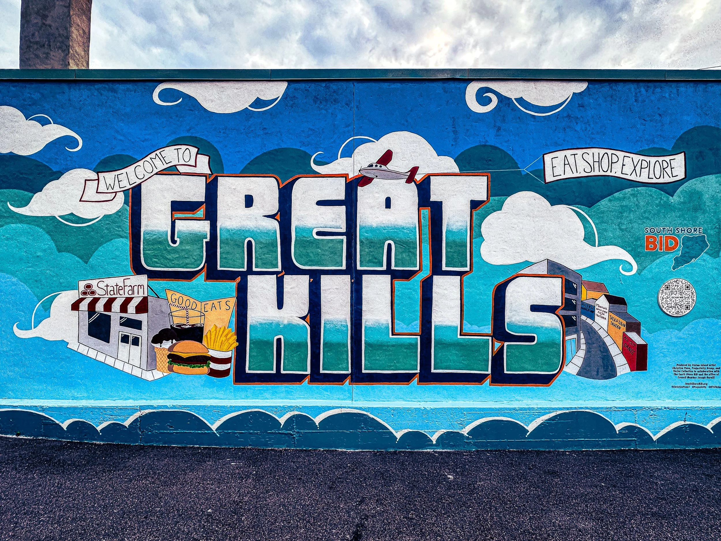
GREAT KILLS
Staten Island
Geographic Setting
Bounded by Armstrong Avenue to the west, Arthur Kill Road to the north, Corbin Avenue and Ocean View Cemetery to the east, Amboy Road to the southeast, Keegans Lane to the east, Great Kills Park to the southeast, and Raritan Bay to the south, Great Kills occupies a vast and varied landscape on Staten Island’s South Shore. It is a neighborhood where gentle uplands descend into tidal marshes, creeks, and beaches—a place where suburban streets meet the open sky of the Raritan Bay. The area’s geography is among the most dynamic on Staten Island: to the north, shaded residential lanes follow the inland ridges of Arthur Kill Road; to the south, the land flattens into the wide, salt-tinged expanse of Great Kills Harbor and the protected wetlands of Great Kills Park, part of the Gateway National Recreation Area.
Anchored by the commercial and transit corridor of Amboy Road, the neighborhood radiates outward in all directions—west toward the quieter residential reaches of Eltingville, east toward Bay Terrace, and south toward the marina-lined waterfront. Its diversity of terrain—hills, harbors, creeks, and open parklands—gives Great Kills a sense of spatial grandeur rare in New York City. It is at once a classic Staten Island suburb and a seaside community defined by water, wind, and the memory of the shore.
Etymology
The name Great Kills is derived from the Dutch word kille, meaning “creek” or “channel.” Early settlers applied the term to describe the network of tidal inlets and estuarine waterways that once crisscrossed the area—most notably Lemon Creek, Sawmill Creek, and Ketchum’s Creek—which drain into the Raritan Bay. “Great Kills” thus meant “many streams” or “large creeks,” a fitting descriptor for a landscape shaped by flowing water.
Originally recorded as Caesar’s Kills and Clarendon, the community adopted the name Great Kills formally in the 19th century as it grew from scattered farms into a defined village. The name’s persistence speaks to both geography and heritage: a reminder of Staten Island’s Dutch colonial past and of the enduring role of its waterways in shaping settlement, livelihood, and identity.
The Neighborhood
Origins through the 19th Century
Before European settlement, the land that became Great Kills was inhabited by the Lenape, who hunted, fished, and gathered shellfish along the tidal marshes of the Raritan Bay. Dutch colonists arrived in the 1600s, establishing farms, mills, and small docks along the natural waterways. The area’s fertile soil and access to tidal creeks made it ideal for agriculture and trade, while its sheltered harbor provided safe anchorage for small vessels.
Through the 18th and early 19th centuries, Great Kills—then part of the Town of Southfield—remained a pastoral district of farms, orchards, and woodland homesteads. Roads such as Amboy Road and Arthur Kill Road connected its residents to Richmondtown, Tottenville, and the ferry landings to Manhattan. Small industries emerged along Lemon Creek, including sawmills, tanneries, and shipwright shops.
By the mid-1800s, Great Kills began to develop as a village in its own right. The establishment of the Staten Island Railway in 1860, with a stop at Great Kills, linked the area to St. George and the broader metropolitan economy. Inns, stores, and cottages clustered near the station, serving a growing commuter and summer population. The village retained a rural charm—fields of wheat and hay, tidal flats rich with oysters, and long views toward Sandy Hook and New Jersey across the bay.
Early 20th Century: A Seaside Village on the Rise
The early 1900s saw Great Kills evolve into one of Staten Island’s most desirable suburban and seaside communities. The improved Amboy Road and frequent train service encouraged residential growth, while the village’s proximity to the water attracted vacationers and year-round settlers alike. Modest bungalows, colonials, and craftsman-style homes filled streets like Hillside Terrace, Giffords Lane, and Greaves Avenue. Small businesses—bakeries, tailors, and grocers—lined Amboy Road, while churches and schools solidified the community’s civic identity.
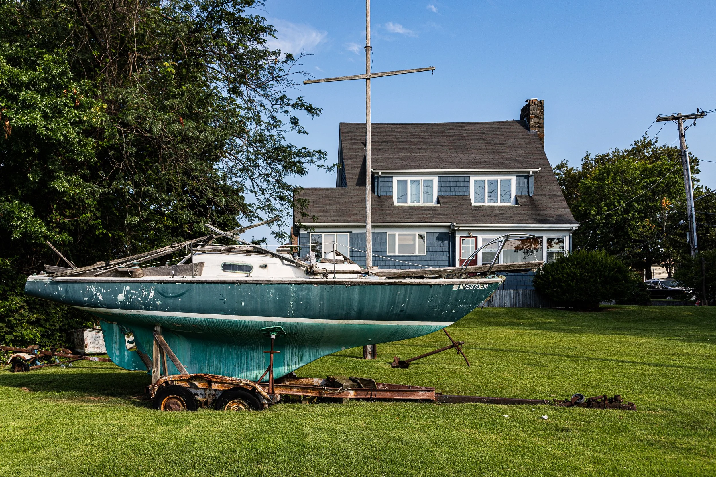
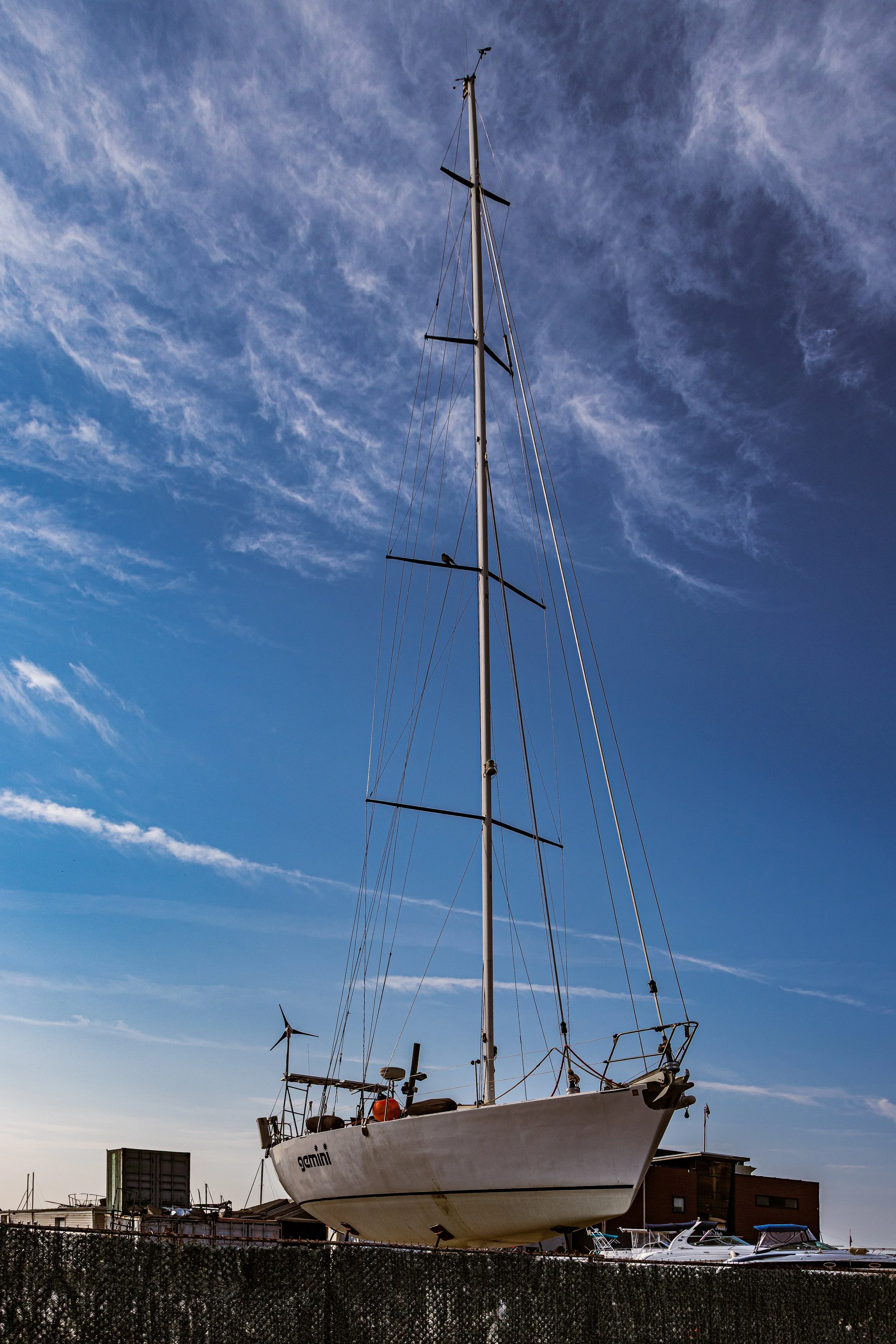
The waterfront continued to play a vital role in local life. Great Kills Harbor, a natural inlet of the Raritan Bay, became home to fishermen, clam diggers, and recreational boaters. By the 1920s, several private marinas and yacht clubs operated along its shores, giving rise to a nautical culture that endures today. The area also hosted small resorts and beach cottages catering to summer visitors escaping Manhattan’s heat.
Yet even amid this development, Great Kills preserved its sense of space and openness. The surrounding creeks and wetlands created natural buffers that limited overbuilding and framed the village with views of sky and sea.
Great Kills Video Coming Soon

Mid–Late 20th Century: Suburban Expansion and Environmental Awakening
The post–World War II era brought transformation to Great Kills, as Staten Island’s population surged and the Verrazzano-Narrows Bridge (1964) opened new connections to Brooklyn and beyond. Developers filled much of the remaining farmland with single-family homes—ranch houses, split-levels, and Colonials—establishing the residential landscape that defines the area today. Amboy Road became a busy commercial corridor, lined with supermarkets, banks, and diners serving the growing middle-class population.
During the same period, environmental awareness reshaped the neighborhood’s southern edge. In 1973, the federal government designated Great Kills Park as part of the Gateway National Recreation Area, preserving nearly 600 acres of shoreline, wetlands, and dunes along the Raritan Bay. This vast open space protected the area’s fragile ecosystems while providing residents with unprecedented recreational access—trails, marinas, beaches, and birdwatching sites that now attract visitors from across the city.
By the late 20th century, Great Kills had achieved maturity as a stable, family-oriented suburb. Schools such as P.S. 8 (Great Kills Elementary) and I.S. 24 flourished, while civic groups and homeowners’ associations maintained the community’s parks, safety, and character. The harbor remained the social and visual heart of the neighborhood—a living link to its maritime past.
21st Century: Harbor Life and Suburban Continuity
In the 21st century, Great Kills continues to balance suburban living with a strong connection to the sea. The Great Kills Marina, home to hundreds of boats, remains one of New York’s most active recreational harbors, while the adjacent Great Kills Park provides residents with beaches, jogging paths, and panoramic views of Raritan Bay. Environmental restoration efforts have enhanced the wetlands and dunes, making the park both an ecological preserve and a civic treasure.
The residential core—between Amboy Road and Arthur Kill Road—retains its mid-century character: quiet blocks, tree canopies, and well-tended homes. Demographically, the community has diversified, with long-established Italian- and Irish-American families joined by new residents of Eastern European, Asian, and Latino heritage. Local businesses continue to thrive along Amboy Road, offering a blend of old-fashioned delis, pizzerias, and family-owned shops alongside newer cafés and restaurants.
Following Hurricane Sandy (2012), Great Kills’ proximity to the waterfront brought challenges, but also resilience. Recovery efforts strengthened flood defenses and reinforced community solidarity. The waterfront, once a source of vulnerability, remains central to local pride—symbolizing the community’s adaptability and enduring bond with the natural world.
Today, Great Kills stands as one of Staten Island’s most complete neighborhoods—suburban yet coastal, self-contained yet outward-looking, deeply rooted in history yet open to the future.
Great Kills Photo Gallery
Spirit and Legacy
The spirit of Great Kills is inseparable from its geography. It is a place defined by the meeting of land and water, of tradition and change. From its earliest days as a Dutch farming hamlet to its modern life as a harborfront suburb, the neighborhood has embodied Staten Island’s central paradox: the coexistence of city and nature.
New York City
Use this custom Google map to explore where every neighborhood in all five boroughs of New York City is located.
The Five Boroughs
One of New York City’s unique qualities is its organization in to 5 boroughs: Manhattan, Brooklyn, Queens, The Bronx, and Staten Island. These boroughs are part pragmatic administrative districts, and part vestiges of the region’s past. Each borough is an entire county in New York State - in fact, Brooklyn is, officially, Kings County, while Staten Island is, officially Richmond County. But that’s not the whole story …
Initially, New York City was located on the southern tip of Manhattan (now the Financial District) that was once the Dutch colony of New Amsterdam. Across the East River, another city was rising: Brooklyn. In time, the city planners realized that unification between the rapidly rising cities would create commercial and industrial opportunities - through streamlined administration of the region.
So powerful was the pull of unification between New York and Brooklyn that three more counties were pulled into the unification: The Bronx, Queens, and Staten Island. And on January 1, 1898, the City of New York unified two cities and three counties into one Greater City of New York - containing the five boroughs we know today.
But because each borough developed differently and distinctly until unification, their neighborhoods likewise uniquely developed. Today, there are nearly 390 neighborhoods, each with their own histories, cultures, cuisines, and personalities - and each with residents who are fiercely proud of their corner of The Big Apple.


