
EDENWALD
The Bronx
Geographic Setting
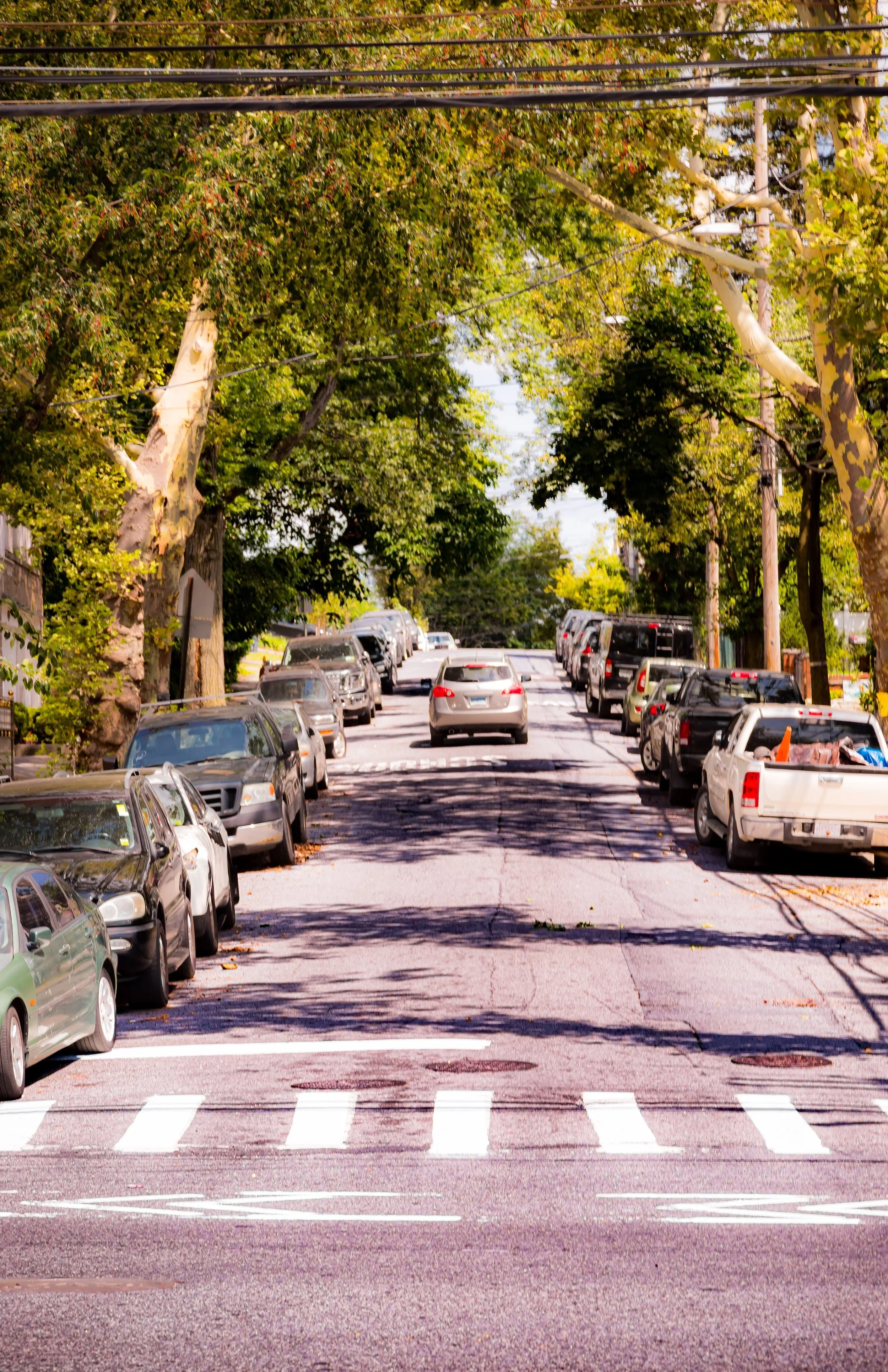
Bounded by East 222nd Street to the south, Lacombe Avenue to the west, Bruner and Bussing Avenues to the northwest, the Westchester County line to the north, the 5-line subway tracks to the east, and Boston Road to the southeast, Edenwald marks the Bronx’s far northeastern frontier—a landscape of quiet residential blocks, open fields, and storied housing developments framed by parkland and suburban edges. It is among the largest neighborhoods in the Bronx by area, and one of its least densely built, distinguished by the Edenwald Houses, expanses of green space, and the pastoral buffer of the Seton Falls Park Preserve.
The terrain rises gently from the Hutchinson River Valley to the wooded highlands near the Westchester border. Within its bounds, the grid of Schieffelin Avenue, East 229th Street, Ely Avenue, and Laconia Avenue intersects a patchwork of single-family homes, small apartment buildings, and postwar housing projects. The neighborhood’s natural heart, Seton Falls Park, occupies 35 acres of forest, streams, and a namesake waterfall—one of the Bronx’s few remaining natural cascades—providing a wild sanctuary amid the city grid. To the east, the elevated Dyre Avenue Line (5 train) terminates at the Eastchester–Dyre Avenue Station, linking the community to the rest of New York City while skirting the suburban boundary of Mount Vernon, Westchester County.
Etymology
The name “Edenwald” first appeared in the late 19th century, drawn from a real-estate development title meant to evoke pastoral serenity—“Eden” signifying paradise, and “wald,” the German word for “forest.” It was a marketing invention rooted in the romantic ideals of the suburban age, meant to describe an “idyllic woodland” on the Bronx’s rural edge. The term aptly captured the landscape at the time: a mix of meadows, creeks, and tree-covered hills adjoining the northern forests of what would become Seton Falls Park.
The name endured because it reflected the neighborhood’s essential character—a place of open space and green respite even as the Bronx urbanized around it.
The Neighborhood
Origins through the 19th Century
Before urban development, the land that would become Edenwald lay within the Town of Eastchester, a farming region settled by English colonists in the 1660s. The Siwanoy, an Algonquian-speaking people, had long inhabited the area, drawn to its streams and fertile valleys near the Hutchinson River. Through the 18th and early 19th centuries, the terrain consisted of small farms, woodlots, and estate lands tied to the agricultural economy of northern Westchester and West Farms.
In 1874, when the western Bronx was annexed to New York City (followed by the eastern Bronx in 1895), Edenwald remained largely rural. Dirt roads such as Boston Post Road and Dyre Avenue traced colonial routes, while the land’s wooded ravines—later incorporated into Seton Falls Park—remained undeveloped. In 1891, the establishment of the New York Catholic Protectory on nearby property (now the site of the Baychester Houses) introduced institutional development to the area, but Edenwald itself stayed an isolated countryside until the early 20th century.
Early 20th Century: Suburban Promise and City Expansion
By the early 1900s, the Bronx’s northward expansion reached Edenwald. Developers, inspired by its topography and fresh air, subdivided large tracts into residential lots marketed to middle-class families seeking “country living within the city.” The name “Edenwald” began appearing in advertisements around 1905, describing small-lot bungalows surrounded by trees and gardens.
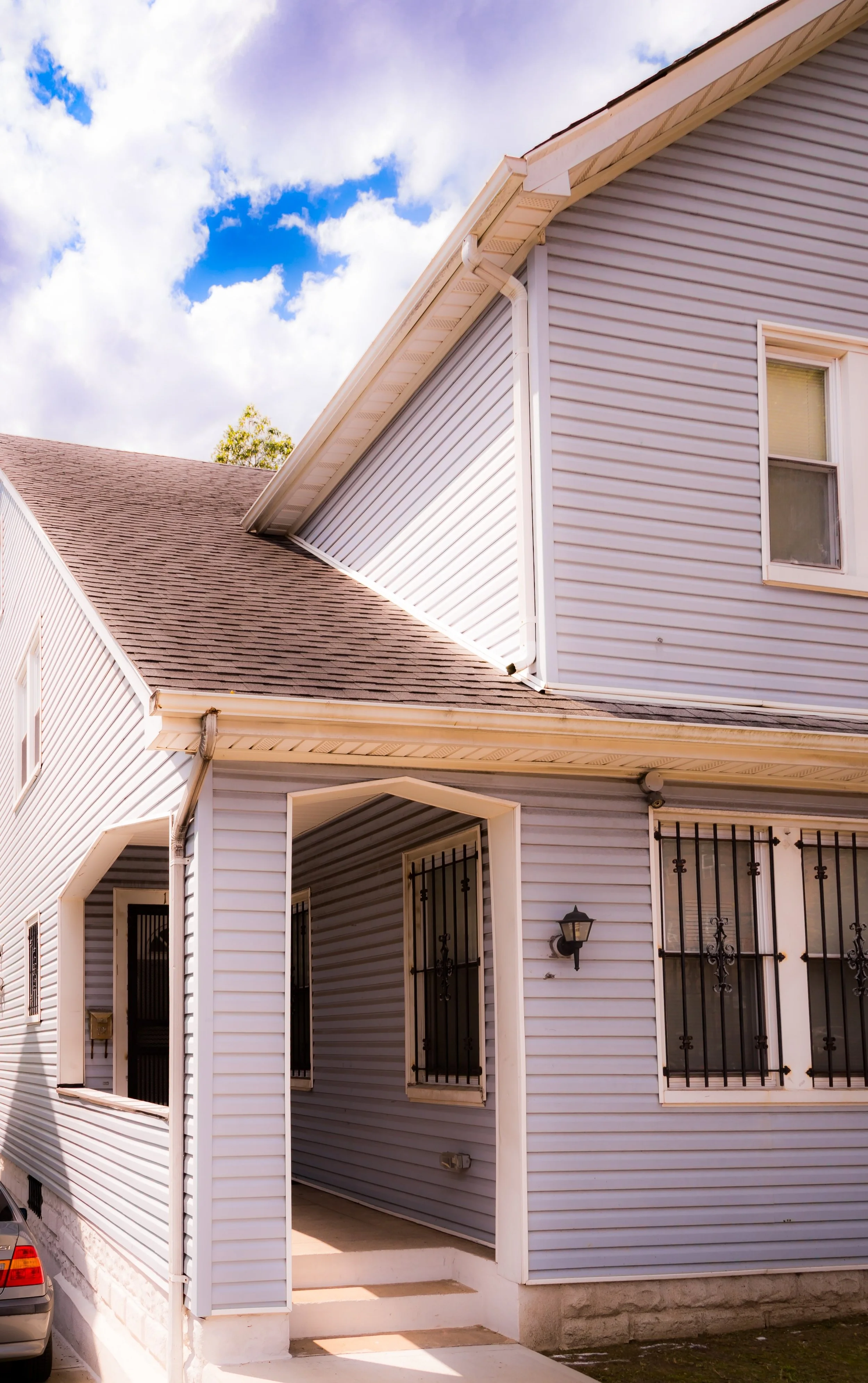
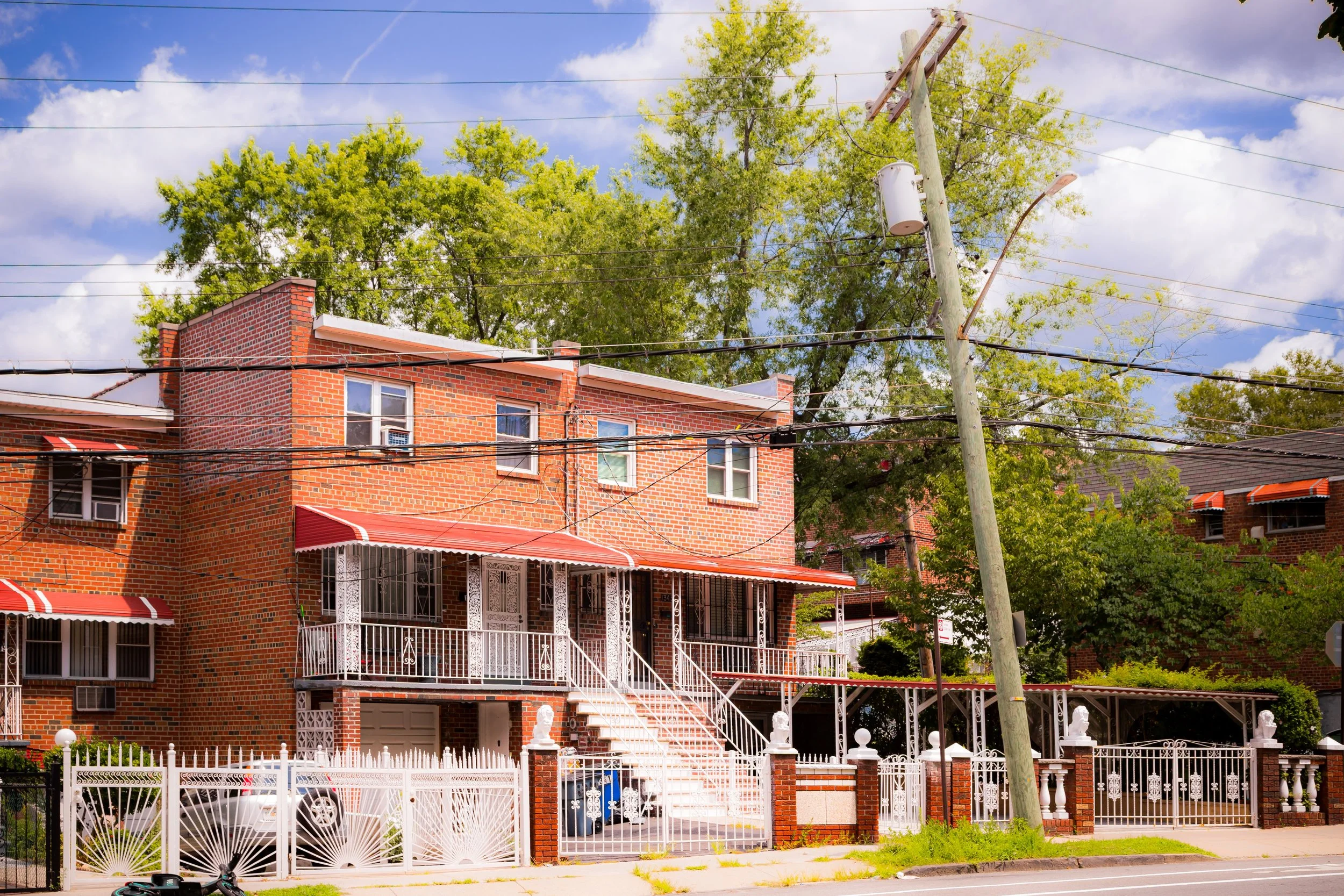
The neighborhood’s accessibility improved dramatically with the opening of the New York, Westchester & Boston Railway (NYW&B) in 1912, whose right-of-way corresponds to today’s 5 train Dyre Avenue line. The railway connected residents directly to Harlem and Manhattan, cementing Edenwald’s suburban appeal. Along Laconia Avenue, Ely Avenue, and East 229th Street, modest single-family homes and two-story brick dwellings took root, forming the early residential fabric that still characterizes much of the area today.
Meanwhile, the creation of Seton Falls Park (officially designated in 1930) preserved one of the Bronx’s last natural forests—a rugged glen with cascading streams named for Saint Elizabeth Ann Seton, the first American-born saint, whose family once owned property nearby. The park quickly became the neighborhood’s defining green space and an enduring emblem of its semi-rural heritage.
Edenwald Video Coming Soon
Mid–Late 20th Century: The Edenwald Houses and Community Transformation
Edenwald’s modern identity was decisively shaped in the postwar era. In 1950, the New York City Housing Authority completed the Edenwald Houses, a sprawling 50-building, 2,000-unit public housing development covering 48 acres between East 225th and East 229th Streets. Designed in the “tower-in-the-park” style of the time, the project offered spacious apartments surrounded by lawns, playgrounds, and internal streets. Initially home to veterans’ families and working-class residents, the Edenwald Houses became one of the Bronx’s largest and most recognizable housing complexes.
Over the following decades, the demographic landscape of Edenwald changed profoundly. The area’s original European-American population gave way to African-American and Caribbean families, many drawn northward from Harlem and the South Bronx. The 1970s fiscal crisis, coupled with citywide disinvestment, strained local infrastructure, but Edenwald’s relative isolation shielded it from the arson and abandonment that devastated other parts of the borough. Strong tenant associations and church networks—such as those centered at St. Frances of Rome Church and Seton Falls Community Center—helped maintain cohesion and safety during difficult years.
By the 1980s, community groups worked with the Parks Department to reclaim neglected sections of Seton Falls Park, initiating cleanups, reforestation, and educational programs that restored its role as the “green heart” of the neighborhood.
21st Century: Renewal, Environmental Stewardship, and Identity
In the 21st century, Edenwald stands as a diverse and dynamic community balancing urban complexity with natural beauty. The Edenwald Houses have undergone significant rehabilitation under NYCHA modernization efforts, while local initiatives—such as the Edenwald Youth and Family Center and Seton Falls Park Preserve Alliance—provide youth programs, ecological education, and family services that strengthen neighborhood life.
Seton Falls Park, once neglected, has been reborn as an ecological refuge and outdoor classroom. Its restored trails, waterfalls, and forest habitats draw hikers, students, and nature enthusiasts from across the borough. The surrounding residential blocks have seen gradual reinvestment, with homeowners improving mid-century houses and small businesses reviving commercial corners along Laconia Avenue and Boston Road. The nearby terminus of the 5 train ensures convenient transit while preserving the neighborhood’s sense of distance from the city’s bustle.
Today, Edenwald’s residents—representing a wide mix of African-American, Caribbean, West African, and Hispanic backgrounds—describe their neighborhood with pride as one of the Bronx’s quietest and greenest corners. The sound of birdsong from Seton Falls Park, the sight of children playing in the courtyards of the housing complex, and the familiarity of long-time neighbors all contribute to its distinct identity as both urban and pastoral.
Edenwald Photo Gallery
Spirit and Legacy
The spirit of Edenwald lies in its name—a promise of greenery, community, and endurance. From its origins as farmland and forest to its mid-century transformation into a public-housing heartland, the neighborhood has preserved its essential qualities of openness and resilience.
It stands as a microcosm of the Bronx’s broader story: a place that has faced change without surrendering its sense of belonging. On a spring afternoon, as sunlight filters through the trees of Seton Falls Park and echoes of laughter rise from the courtyards below, Edenwald feels far older and wiser than its modern grid would suggest—a living testament to the enduring balance between nature and neighborhood in New York’s northernmost borough.
New York City
Use this custom Google map to explore where every neighborhood in all five boroughs of New York City is located.
The Five Boroughs
One of New York City’s unique qualities is its organization in to 5 boroughs: Manhattan, Brooklyn, Queens, The Bronx, and Staten Island. These boroughs are part pragmatic administrative districts, and part vestiges of the region’s past. Each borough is an entire county in New York State - in fact, Brooklyn is, officially, Kings County, while Staten Island is, officially Richmond County. But that’s not the whole story …
Initially, New York City was located on the southern tip of Manhattan (now the Financial District) that was once the Dutch colony of New Amsterdam. Across the East River, another city was rising: Brooklyn. In time, the city planners realized that unification between the rapidly rising cities would create commercial and industrial opportunities - through streamlined administration of the region.
So powerful was the pull of unification between New York and Brooklyn that three more counties were pulled into the unification: The Bronx, Queens, and Staten Island. And on January 1, 1898, the City of New York unified two cities and three counties into one Greater City of New York - containing the five boroughs we know today.
But because each borough developed differently and distinctly until unification, their neighborhoods likewise uniquely developed. Today, there are nearly 390 neighborhoods, each with their own histories, cultures, cuisines, and personalities - and each with residents who are fiercely proud of their corner of The Big Apple.


