VAN CORTLANDT PARK
The Bronx
Geographic Setting
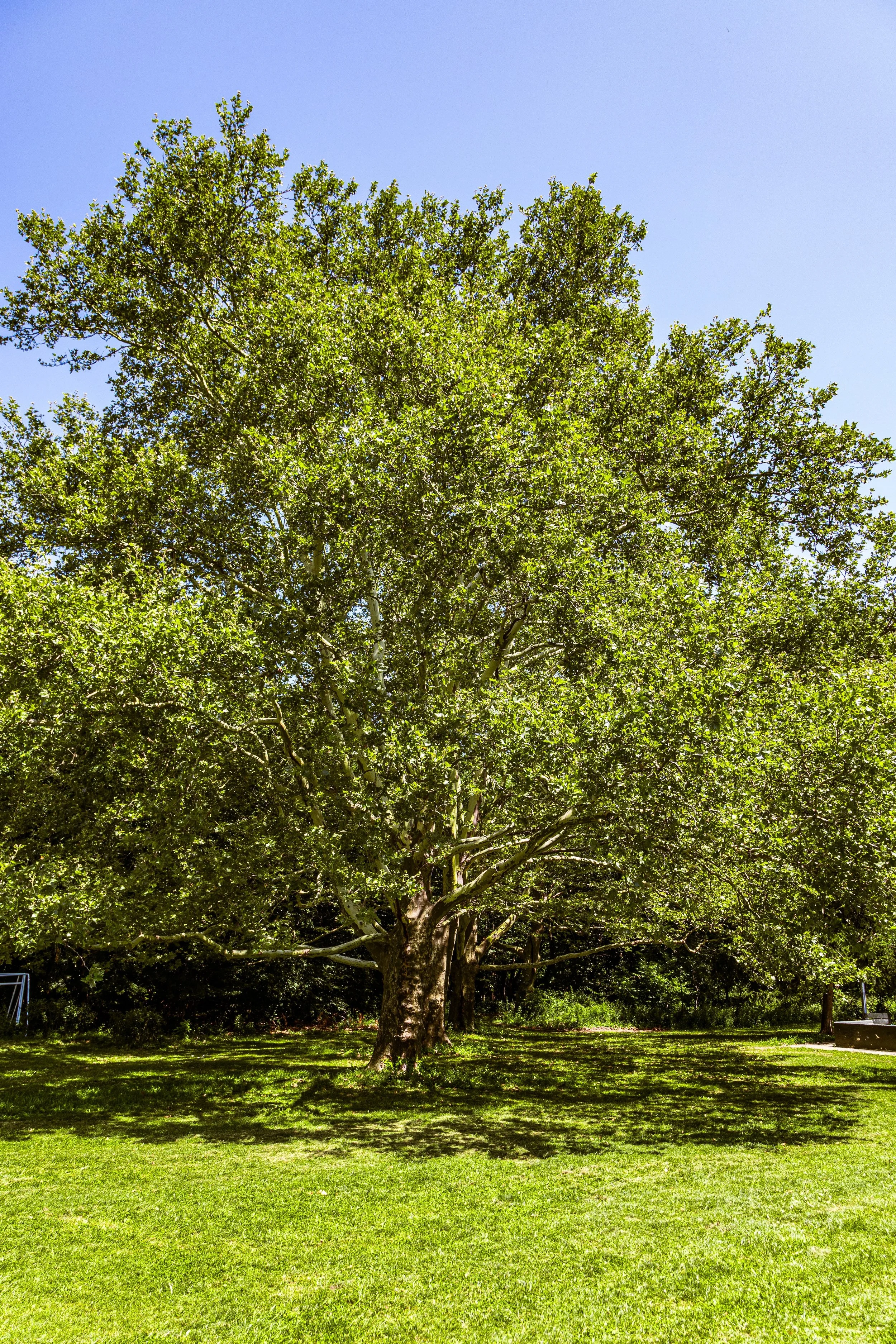
Bounded by Van Cortlandt Park South to the south, Broadway and the Henry Hudson Parkway to the west, Jerome Avenue and the Major Deegan Expressway to the east, and Westchester County to the north, Van Cortlandt Park encompasses more than 1,140 acres—making it the third-largest park in New York City and the green heart of the Bronx. Its vast, undulating landscape stretches across forested hills, open meadows, wetlands, and glacial valleys, linking the neighborhoods of Riverdale, Kingsbridge, Woodlawn Heights, and Norwood in a single, continuous expanse of nature and history.
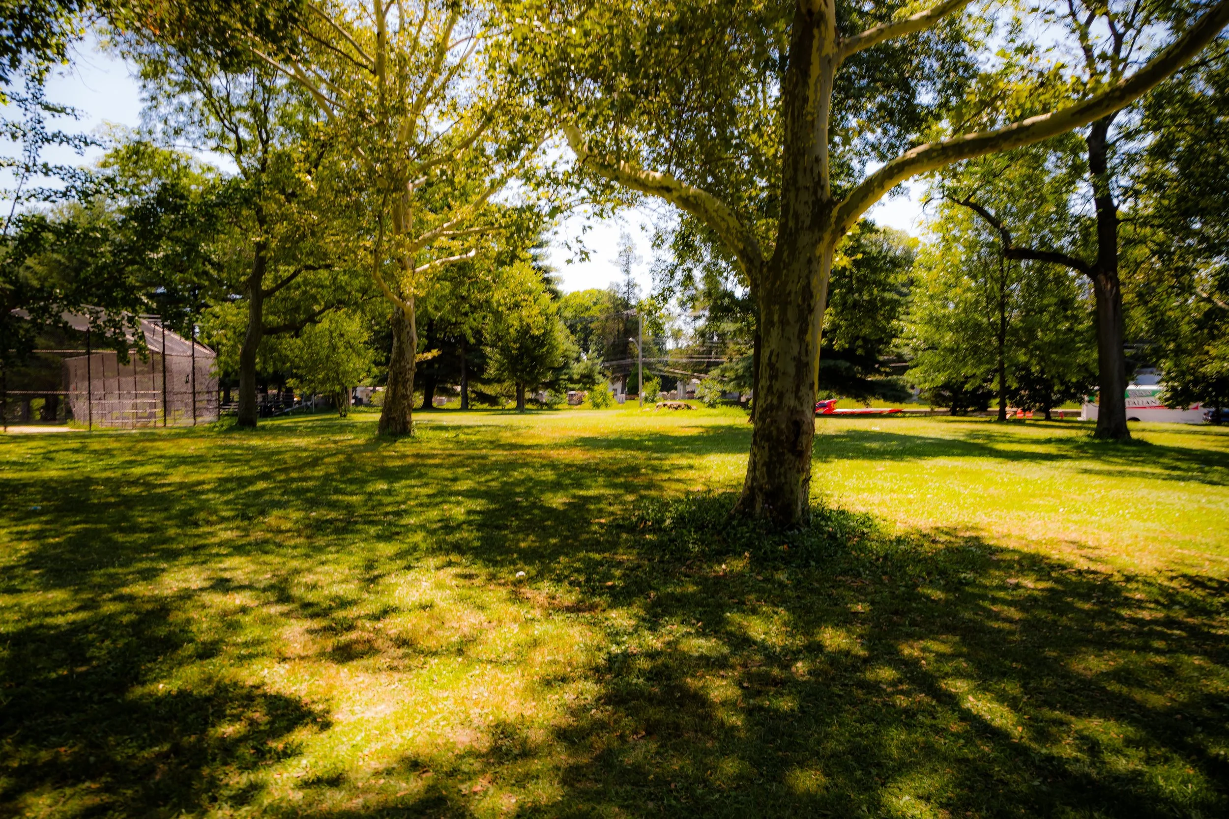
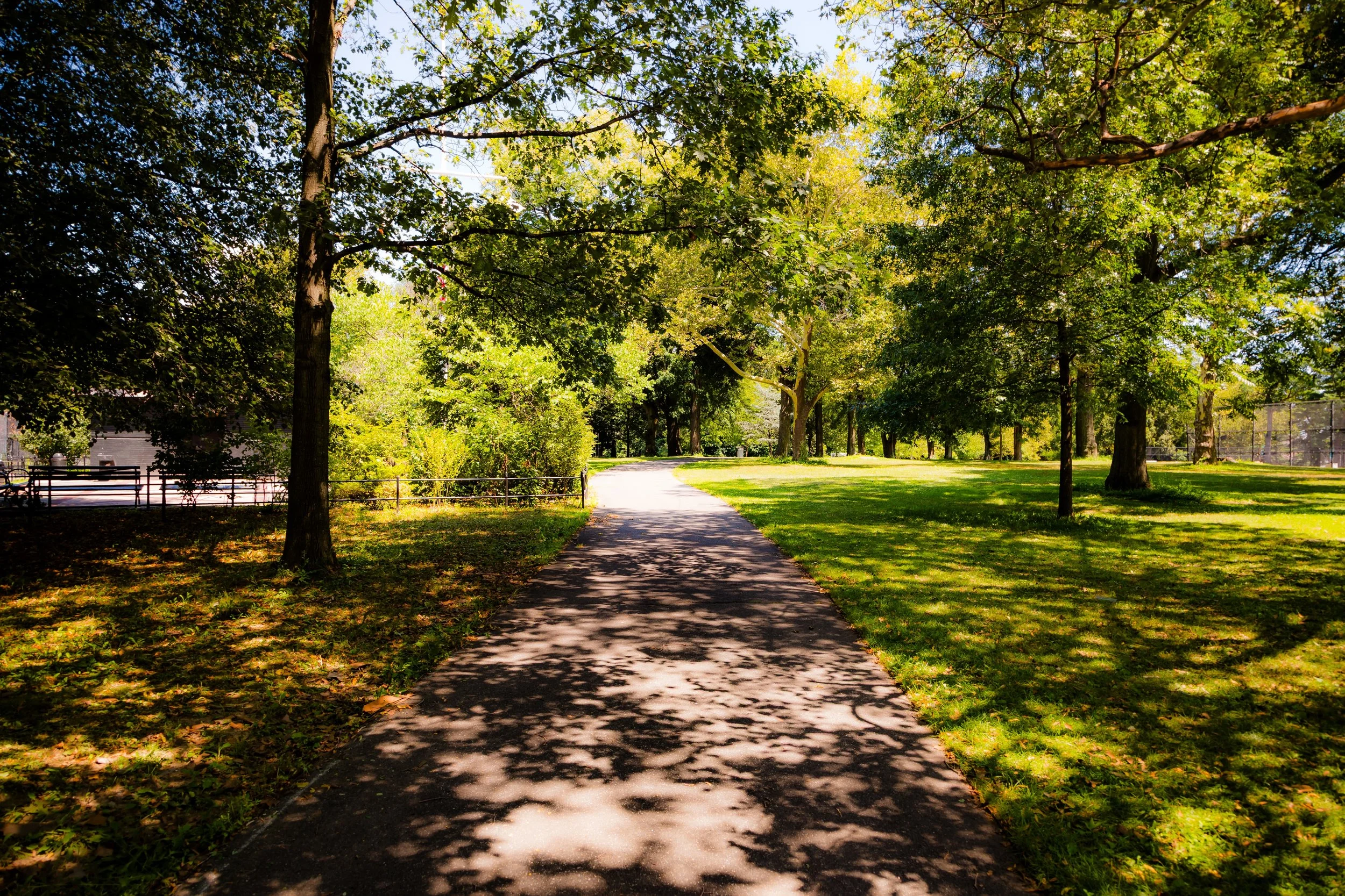
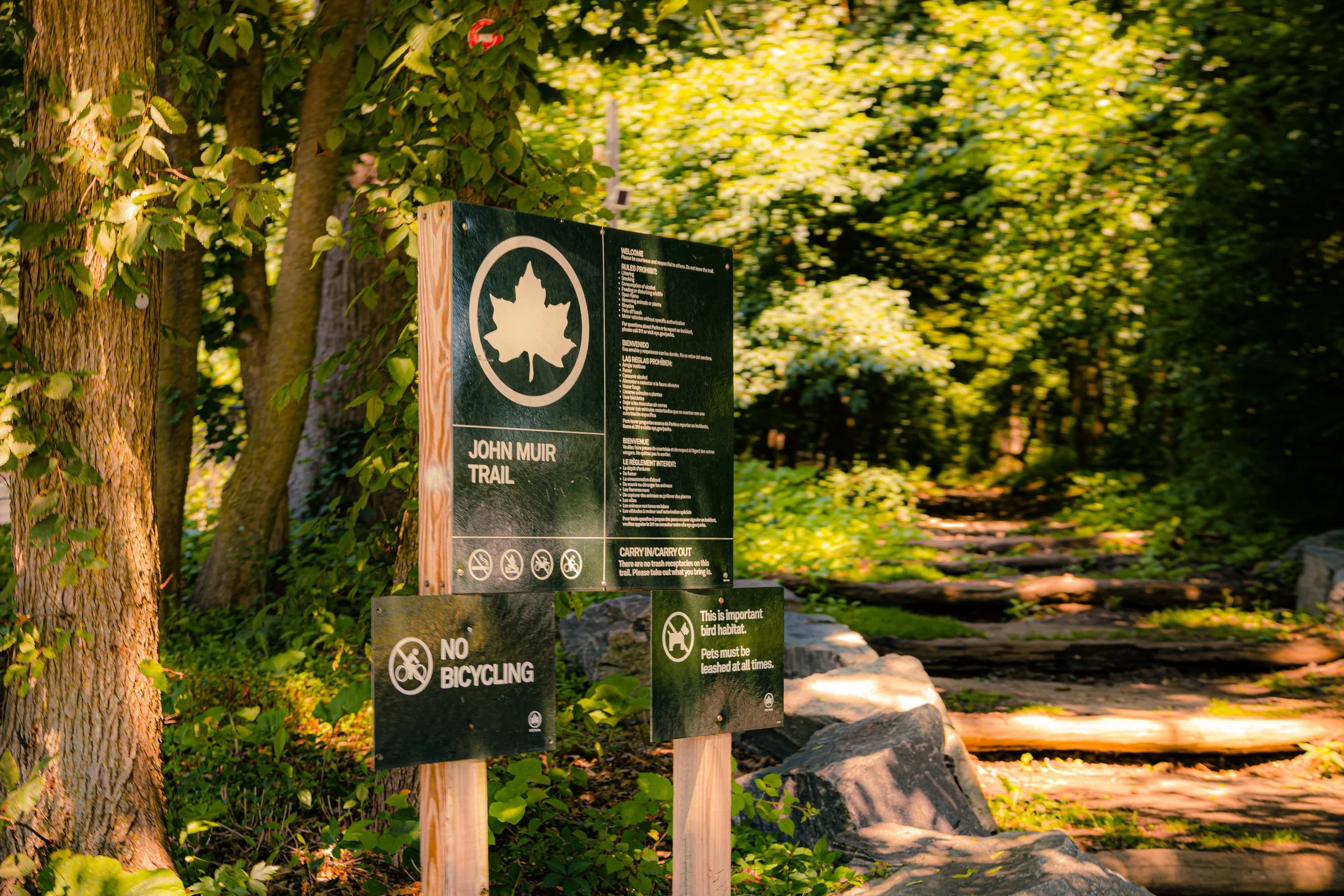
At its center lies the historic Van Cortlandt House Museum, surrounded by the park’s iconic features: the Parade Ground, the Van Cortlandt Lake, the Cross Country Trail, and the Golf Course—the oldest public course in the United States. The Mosholu Golf Course, Tibbetts Brook, and Croton Aqueduct Trail wind through its terrain, while the 1, 4, and D trains and several expressways provide ready access from across the city.
Van Cortlandt Park is both a wilderness and a civic stage—a place where joggers, birdwatchers, picnickers, and athletes share the same space as school cross-country teams, historic reenactors, and families seeking quiet beneath ancient oaks. It remains the defining green refuge of the northern Bronx, a landscape where New York City meets its rural soul.
Etymology
The park takes its name from the Van Cortlandt family, one of New York’s oldest and most influential dynasties. The Van Cortlandts were Dutch merchants and landowners who established their estate here in the late 17th century. Their 1748 stone manor still stands—the Van Cortlandt House, the oldest surviving building in the Bronx and a National Historic Landmark.
The family name itself—Van Cortlandt, meaning “of Cortlandt” in Dutch—derives from the town of Kortlandt (now part of the Netherlands). It came to symbolize both the family’s prominence and their lasting imprint on the borough’s geography. When the estate was transformed into a public park in the late 19th century, the name honored both their stewardship of the land and the deep colonial roots of the Bronx.
The Neighborhood
Origins through the 19th Century
Before European colonization, the land that is now Van Cortlandt Park was home to the Wecquaesgeek, a band of the Lenape people who fished, hunted, and cultivated maize along the Tibbetts Brook and the Harlem River valley. Their trails and settlements followed the region’s waterways—paths that later evolved into roads and bridleways within the park.
In 1699, Jacobus Van Cortlandt, a two-term mayor of New York City, purchased several hundred acres of farmland in what was then the rural outskirts of Westchester County. The Van Cortlandt estate grew to include over 1,000 acres of productive farmland, orchards, and mills powered by the flow of Tibbetts Brook. In 1748, Jacobus’s son Frederick Van Cortlandt built the family’s stone manor house, a Georgian-style home overlooking a broad valley and lake—an architectural statement of colonial wealth and permanence.
During the Revolutionary War, the estate became a contested zone: both British and American troops camped here, and the manor served as a temporary headquarters for George Washington on multiple occasions. The surrounding hills provided strategic vantage points over the Harlem River and the road to Albany.
By the 19th century, as New York expanded northward, the estate’s pastoral beauty attracted early preservationists and civic reformers. In 1888, as part of the city’s growing parks movement, the Van Cortlandt lands were acquired by the newly formed New York City Department of Parks, establishing the park as a permanent public landscape. Its conversion marked a pivotal moment in the Bronx’s history: the transformation of private estate into civic sanctuary.
Early 20th Century: Recreation, Transit, and the American Park Ideal
At the turn of the 20th century, Van Cortlandt Park became a model of urban recreation and democratic access. The Parade Ground, originally laid out for military drills in the 1880s, became a popular venue for baseball, football, and cricket. The park’s broad meadows and forested ridges attracted both leisure-seekers and naturalists, and by 1905, the city had established one of the first municipal cross-country courses here—a tradition that continues to this day.
In 1895, the Van Cortlandt Golf Course opened on the park’s western plateau, becoming the first public golf course in the United States. It drew players from every background, including notable figures like Babe Ruth, who was often seen on its greens. Around the same period, the Old Croton Aqueduct Trail, an engineering marvel of the early 1800s, was incorporated into the park, blending infrastructure with open space.
Transit made the park accessible to all: the extension of the IRT Broadway–Seventh Avenue Line (1 train) in 1908 brought working-class New Yorkers to the Bronx’s northern edge, democratizing access to recreation. Weekends saw crowds flock to the park for picnics, boating, and concerts—an expression of the Progressive Era belief that nature could renew the moral and physical health of the city’s citizens.
By the 1930s, under Parks Commissioner Robert Moses, the park saw major infrastructural improvements: new playgrounds, bridle paths, athletic fields, and the Henry Hudson Parkway, which skirted its western border. While these projects expanded access, they also imposed new barriers—dividing sections of the park and altering its natural flow. Still, Van Cortlandt remained a Bronx treasure: both a working landscape and a place of retreat.
Van Cortlandt Park Video Coming Soon
Mid–Late 20th Century: Environmental Awareness and Community Stewardship
Through the 1950s–1970s, Van Cortlandt Park continued to serve as a vital green space amid the Bronx’s shifting urban landscape. The park’s natural features—Van Cortlandt Lake, Croton Woods, and the Moss Hill Forest—became increasingly valued as ecological refuges within a growing metropolis.
During the Bronx’s fiscal and social crises of the 1970s, the park suffered from neglect and vandalism, yet it remained an anchor for nearby communities. Local residents and civic groups, notably the Friends of Van Cortlandt Park (founded 1992, now part of the Van Cortlandt Park Alliance), emerged as key stewards, organizing cleanups, tree plantings, and educational programs. Their efforts reflected a larger shift in urban park management—toward community partnership, environmental restoration, and ecological education.
Meanwhile, the park’s cross-country course achieved legendary status, hosting generations of high school and college meets. Athletes from across the region—many of them Bronx-born—ran beneath the forest canopy, their footsteps echoing through a course as storied as any stadium.
By the 1980s, renewed investment revitalized Van Cortlandt’s infrastructure: its golf course was modernized, its lake dredged, and its historic trails restored. The park’s role as both a neighborhood sanctuary and a regional destination deepened, ensuring its survival amid urban pressures.
21st Century: Restoration, Ecology, and Living Heritage
In the 21st century, Van Cortlandt Park has become a model of ecological renewal and cultural continuity. The Van Cortlandt Park Alliance, formed from the merger of Friends of Van Cortlandt Park and the Van Cortlandt Conservancy, leads ongoing projects that restore wetlands, maintain trails, and expand environmental education. The park now hosts over 3 million visitors annually, reflecting both local devotion and citywide recognition.
New green initiatives—such as the Daylighting of Tibbetts Brook, designed to restore natural water flow and reduce flooding—illustrate how Van Cortlandt continues to shape the future of urban sustainability. The park’s forests, some of the oldest in New York City, are now protected under long-term management plans. Meanwhile, cultural and athletic life thrive: the Croton Aqueduct Trail connects hikers to the state’s vast greenway system; the Van Cortlandt Stadium and Parade Ground buzz with soccer matches, track meets, and community festivals.
The Van Cortlandt House Museum, operated by the National Society of Colonial Dames, remains the park’s historical centerpiece, interpreting three centuries of Bronx history from colonial plantation to public park.
Van Cortlandt Park Photo Gallery
Spirit and Legacy
The spirit of Van Cortlandt Park lies in its dual identity: both wild and urban, ancient and ever-renewing. It is a landscape of memory—its forests still echoing with Lenape footsteps and Continental encampments—and a space of vitality, where Bronx residents find respite, recreation, and belonging.
The park’s legacy is inseparable from the story of the Bronx itself. It embodies the borough’s resilience, its cultural diversity, and its deep connection to land and labor. Within its boundaries, the city’s past and present coexist: colonial stone walls stand beside running trails, jazz festivals share space with migratory birds, and families picnic where soldiers once marched.
New York City
Use this custom Google map to explore where every neighborhood in all five boroughs of New York City is located.
The Five Boroughs
One of New York City’s unique qualities is its organization in to 5 boroughs: Manhattan, Brooklyn, Queens, The Bronx, and Staten Island. These boroughs are part pragmatic administrative districts, and part vestiges of the region’s past. Each borough is an entire county in New York State - in fact, Brooklyn is, officially, Kings County, while Staten Island is, officially Richmond County. But that’s not the whole story …
Initially, New York City was located on the southern tip of Manhattan (now the Financial District) that was once the Dutch colony of New Amsterdam. Across the East River, another city was rising: Brooklyn. In time, the city planners realized that unification between the rapidly rising cities would create commercial and industrial opportunities - through streamlined administration of the region.
So powerful was the pull of unification between New York and Brooklyn that three more counties were pulled into the unification: The Bronx, Queens, and Staten Island. And on January 1, 1898, the City of New York unified two cities and three counties into one Greater City of New York - containing the five boroughs we know today.
But because each borough developed differently and distinctly until unification, their neighborhoods likewise uniquely developed. Today, there are nearly 390 neighborhoods, each with their own histories, cultures, cuisines, and personalities - and each with residents who are fiercely proud of their corner of The Big Apple.


