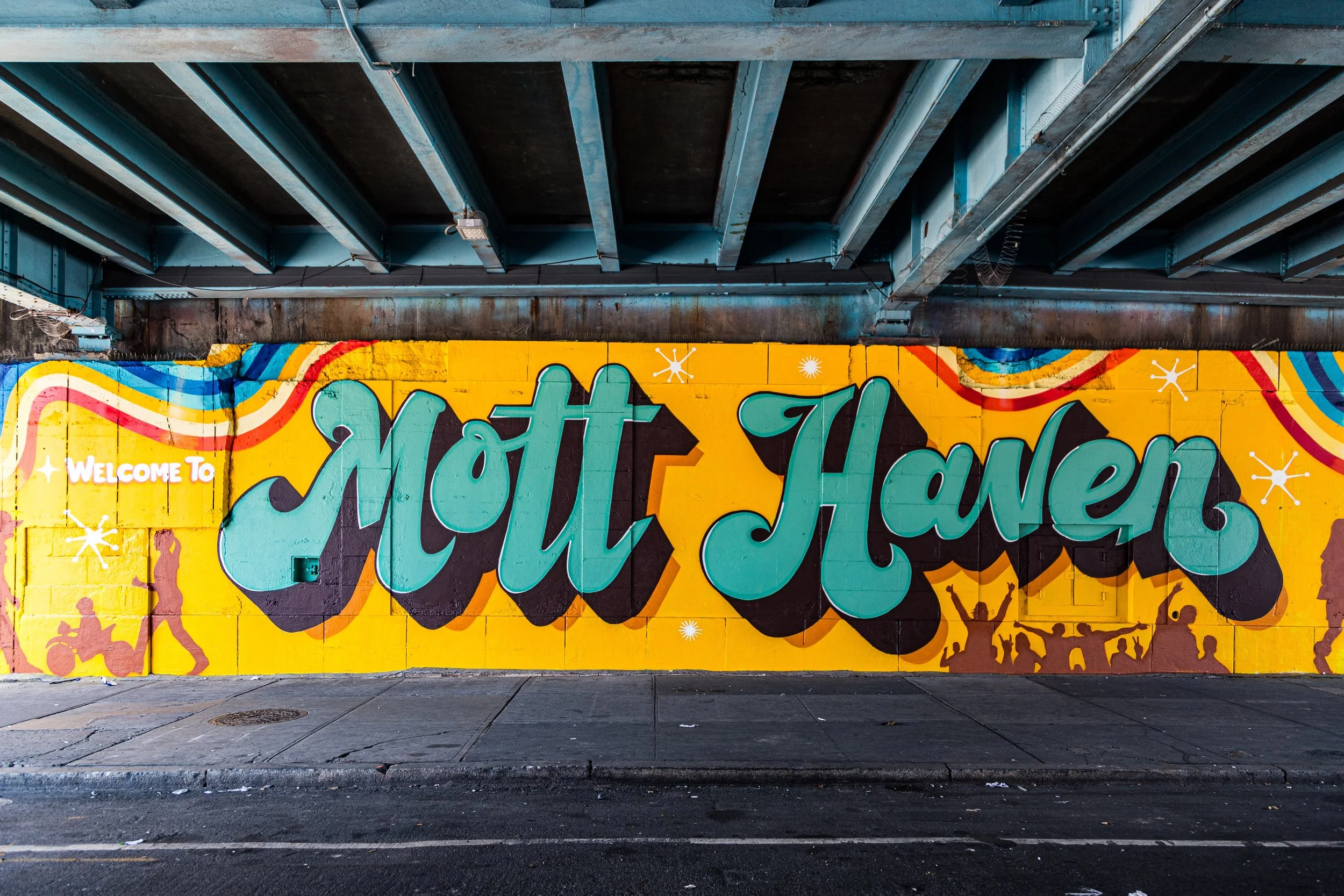
MOTT HAVEN
The Bronx
Geographic Setting
Bounded by East 135th Street to the south, the Harlem River to the west, East 149th Street to the north, and the Bruckner Expressway to the east, Mott Haven occupies the southwestern corner of the Bronx—the borough’s historic gateway to Manhattan and one of the city’s oldest urban centers beyond the Harlem River. Its geography is defined by waterfront industry, nineteenth-century rowhouses, and broad arterial streets such as Willis Avenue, Third Avenue, and 138th Street, where the elevated trains once delivered waves of workers and shoppers.
The neighborhood’s position—pressed between the Harlem River and the uplands of the South Bronx—has always made it a place of crossings and connections. The Third Avenue Bridge and Willis Avenue Bridge link it directly to Harlem, while the Major Deegan and Bruckner Expressways carve through its periphery, bearing commuters between boroughs. Within those boundaries lies an intricate mosaic of streets, brownstones, and apartment houses, many dating from the mid-to-late 1800s. Along Alexander Avenue, often called “The Irish Fifth Avenue,” elegant rows of Renaissance Revival townhouses form the Mott Haven Historic District, while industrial relics along the riverfront recall the era when this was the manufacturing heart of the Bronx.
Today, Mott Haven stands at the confluence of history and renewal—a neighborhood balancing deep-rooted working-class traditions, vivid cultural expression, and the pressures of modern redevelopment.
Etymology
The name “Mott Haven” originates from Jordan L. Mott, an industrialist and inventor who established the Mott Iron Works along the Harlem River in 1828. The “Haven” referred both to the river’s navigable inlets and to Mott’s vision of a self-contained industrial community—a haven of manufacture, innovation, and worker housing.
Mott’s foundry produced stoves, iron railings, and architectural castings that adorned buildings across New York. His enterprise transformed what had been rural farmland into an industrial hub, catalyzing the urbanization of the South Bronx. The neighborhood that grew around the foundry inherited both his name and his entrepreneurial imprint, blending manufacturing might with residential ambition.
The Neighborhood
Origins through the 19th Century
In the 18th century, the land that became Mott Haven was part of the Morris family’s vast estate of Morrisania, a tract of farmland and meadows extending northward from the Harlem River. The area remained largely agricultural until 1828, when Jordan L. Mott purchased land from the Morrises and established his ironworks on the riverbank at what is now 132nd Street.
Mott’s factory complex—powered by coal, water, and ingenuity—sparked the Bronx’s first industrial boom. Around it, a company town emerged: worker housing, warehouses, and docks lined the shore, while Willis Avenue and Third Avenue became commercial corridors. The Harlem River Railroad (1842) and later the Third Avenue Elevated Line (1887) provided fast transit to Manhattan, turning Mott Haven into a mixed-use district of factories and tenements.
By the 1870s–1890s, the neighborhood was fully urbanized. Rows of handsome brownstone and brick townhouses rose along Alexander Avenue for the managerial and merchant classes, while multi-story tenements filled the side streets. Churches, schools, and firehouses were built to serve the growing population, and a sense of civic identity took root. In 1898, with the consolidation of Greater New York, Mott Haven officially became part of the new Borough of the Bronx.
Early 20th Century: Industrial Power and Immigrant Life
During the first half of the 20th century, Mott Haven thrived as a working-class neighborhood built on industry. Its factories produced iron, pianos, paper goods, and textiles, while warehouses and rail yards dominated the waterfront. The neighborhood’s population was primarily Irish, German, and later Italian and Jewish, with vibrant parish life centered around churches such as St. Jerome’s (founded 1869) and Immaculate Conception (1887).
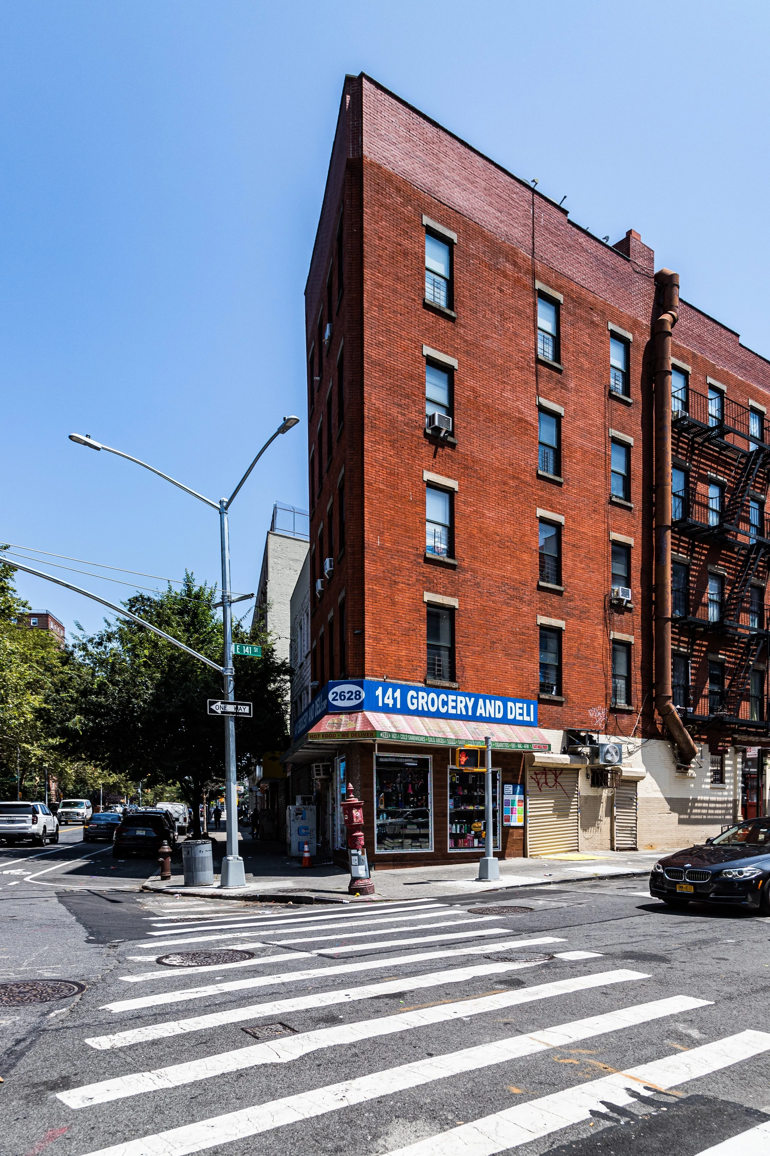
Third Avenue and 138th Street became the South Bronx’s commercial crossroads—lined with department stores, bakeries, and theaters. Streetcars, elevated trains, and ferries connected Mott Haven to Harlem and downtown Manhattan, fostering economic integration across the Harlem River. Despite its density, the neighborhood maintained a strong sense of order, reflected in the meticulous brickwork and stoops of its 19th-century rowhouses.
The architectural distinction of Alexander Avenue—home to doctors, shopkeepers, and civic leaders—earned it the nickname “The Irish Fifth Avenue.” The construction of St. Mary’s Park (1888) added vital green space, balancing industrial bustle with open air.
Mott Haven Video Coming Soon
Mid–Late 20th Century: Decline and the Fires of the Bronx
The postwar decades brought profound change. The construction of the Major Deegan Expressway (completed 1956) and the Bruckner Expressway (1960s) physically isolated Mott Haven from the waterfront and divided it from adjacent neighborhoods. Industry began to decline as factories closed or relocated, and middle-class families moved to the suburbs. The arrival of Puerto Rican and African-American residents in the 1950s and 1960s transformed the neighborhood’s demographic fabric, creating a rich cultural tapestry but also revealing systemic neglect.
By the 1970s, Mott Haven was at the epicenter of the South Bronx’s crisis. Arson, abandonment, and disinvestment ravaged the neighborhood, leaving entire blocks in ruins. Tenements along 138th Street, Willis Avenue, and East 141st Street were burned or boarded up, and the media seized on the image of “the Bronx burning.” Yet even in these years of devastation, community resilience persisted. Churches, local activists, and emerging organizations—such as Nos Quedamos, Youth Ministries for Peace and Justice, and the South Bronx Development Organization—fought to reclaim housing and rebuild civic infrastructure.
Despite widespread poverty, Mott Haven became a crucible of cultural innovation: block parties and community centers nurtured the early hip-hop movement, while salsa, bomba, and jazz filled its streets. The neighborhood’s identity as a place of both hardship and creativity was forged in this era.
21st Century: Revival on the Riverfront
In the 21st century, Mott Haven has reemerged as one of the Bronx’s most dynamic and contested neighborhoods—where reinvestment and gentrification coexist with community activism and cultural continuity. The Mott Haven Historic District, designated in 1969, preserves a cluster of 19th-century brownstones and civic buildings that anchor the neighborhood’s architectural legacy. Restoration efforts have revitalized streets once left derelict, while new housing developments, parks, and restaurants signal the district’s growing appeal.
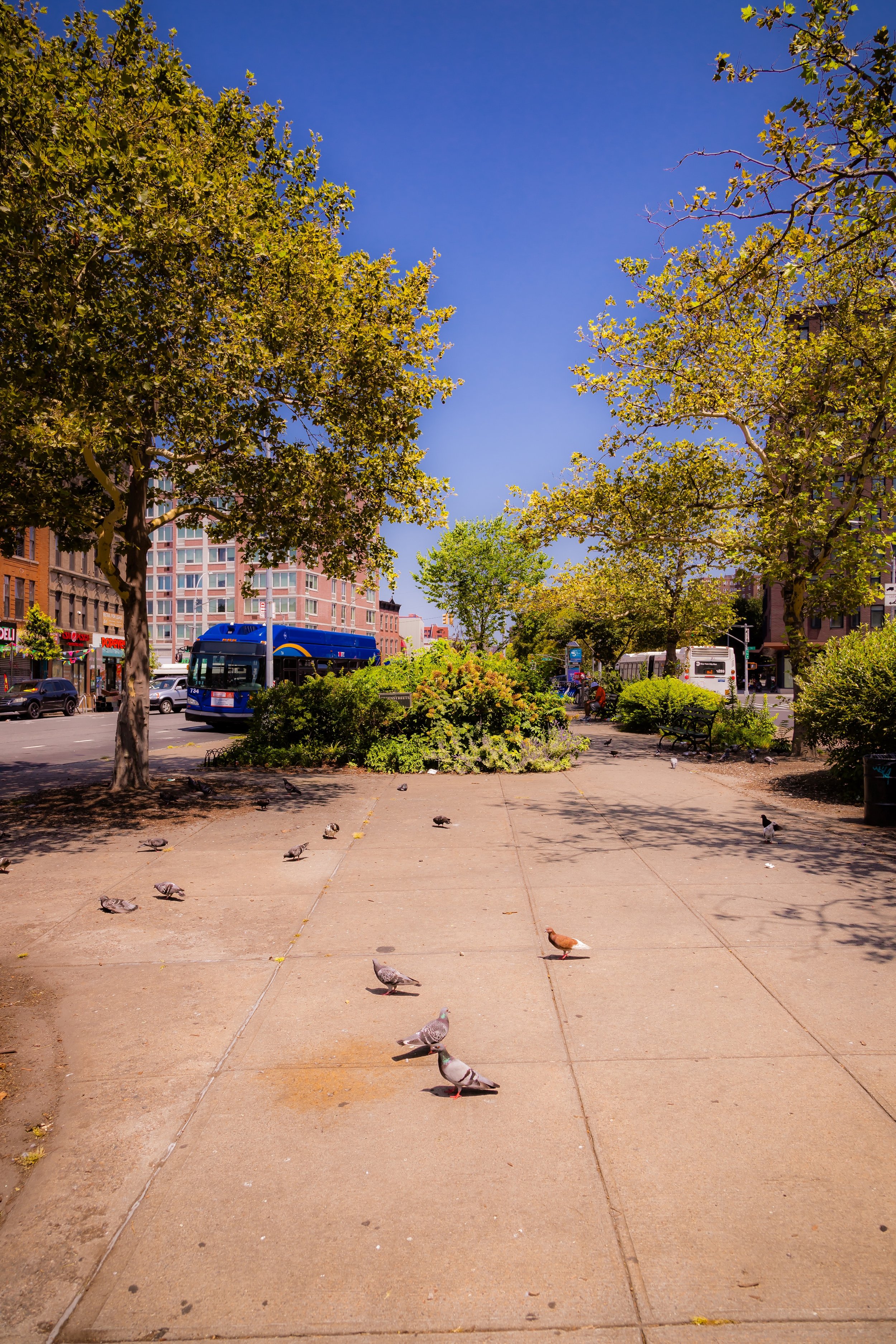
Waterfront redevelopment has transformed former industrial parcels into mixed-use spaces like The Bronx Point, home to the new Universal Hip-Hop Museum. St. Mary’s Park—the Bronx’s oldest—has been refurbished, offering baseball fields, playgrounds, and summer festivals that reaffirm its role as the neighborhood’s green heart. Cafés and art spaces have appeared along Lincoln Avenue and Bruckner Boulevard, even as long-established bodegas and community centers continue to serve multi-generational residents.
Yet the transformation is uneven. Longtime residents express concern over rising rents and displacement, prompting civic groups like South Bronx Unite to advocate for equitable development and environmental justice, particularly along the Harlem River waterfront. The neighborhood remains predominantly Latino, especially Puerto Rican and Dominican, with growing African and Mexican communities. Its streets pulse with the rhythms of Spanish-language music, street art, and resilience.
Mott Haven Photo Gallery
Spirit and Legacy
The spirit of Mott Haven is the spirit of the Bronx itself: industrious, creative, and unbreakable. From Jordan Mott’s iron foundry to the fires of the 1970s, from brownstone elegance to hip-hop innovation, Mott Haven has continually reinvented itself while never losing its heart. Its skyline—bridges, factory spires, and new towers—mirrors its layered identity, where the echoes of industry meet the voices of renewal.
New York City
Use this custom Google map to explore where every neighborhood in all five boroughs of New York City is located.
The Five Boroughs
One of New York City’s unique qualities is its organization in to 5 boroughs: Manhattan, Brooklyn, Queens, The Bronx, and Staten Island. These boroughs are part pragmatic administrative districts, and part vestiges of the region’s past. Each borough is an entire county in New York State - in fact, Brooklyn is, officially, Kings County, while Staten Island is, officially Richmond County. But that’s not the whole story …
Initially, New York City was located on the southern tip of Manhattan (now the Financial District) that was once the Dutch colony of New Amsterdam. Across the East River, another city was rising: Brooklyn. In time, the city planners realized that unification between the rapidly rising cities would create commercial and industrial opportunities - through streamlined administration of the region.
So powerful was the pull of unification between New York and Brooklyn that three more counties were pulled into the unification: The Bronx, Queens, and Staten Island. And on January 1, 1898, the City of New York unified two cities and three counties into one Greater City of New York - containing the five boroughs we know today.
But because each borough developed differently and distinctly until unification, their neighborhoods likewise uniquely developed. Today, there are nearly 390 neighborhoods, each with their own histories, cultures, cuisines, and personalities - and each with residents who are fiercely proud of their corner of The Big Apple.


