EASTCHESTER BAY
The Bronx
Geographic Setting
Bounded by the Throgs Neck Expressway to the west, Layton Avenue to the north, the waters of Eastchester Bay to the east, and Weir Creek to the south, Eastchester Bay occupies a narrow, scenic strip of the southeastern Bronx where land and water blend in tidal rhythm. The neighborhood forms the eastern shoreline of Country Club, extending southward toward Edgewater Park and north toward the coves below Pelham Bay Park. Its geography is defined by its relationship to the bay itself: a glimmering inlet of the Long Island Sound whose calm waters and salt-tinged breezes shape every street, dock, and backyard that faces it.
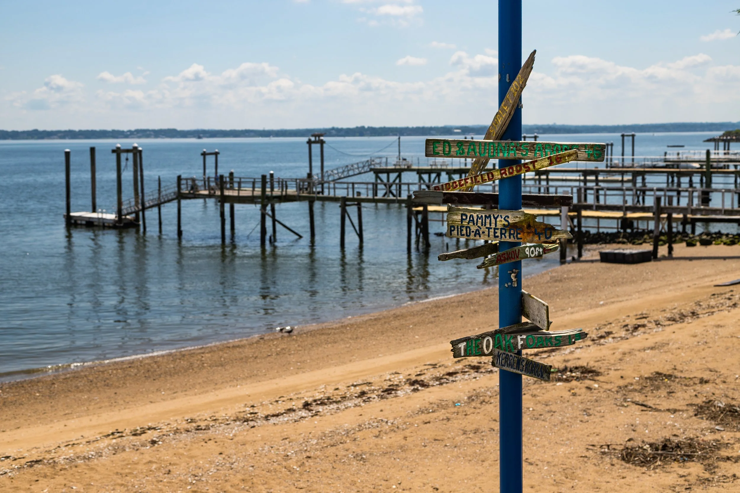
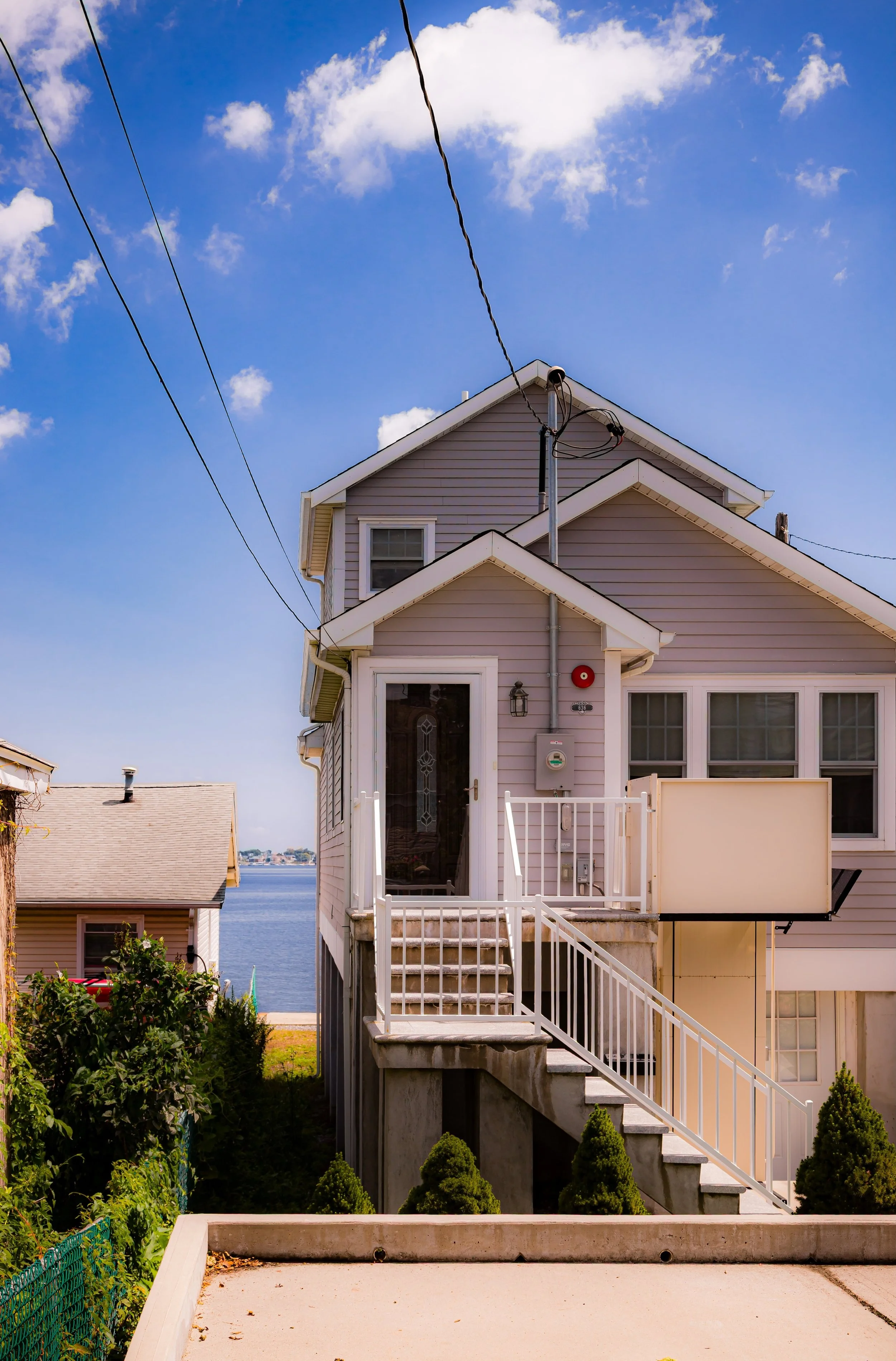
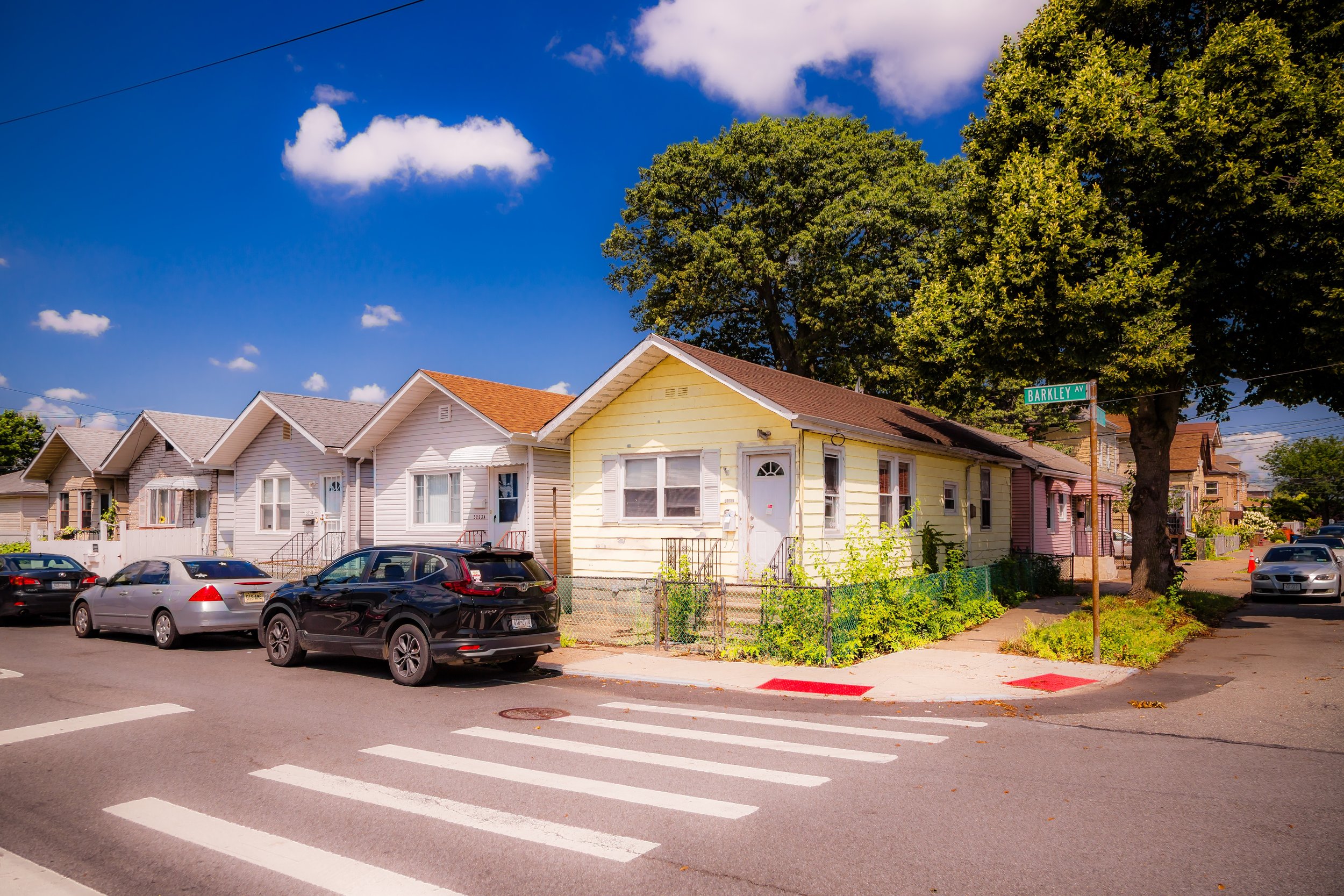
Here, the grid loosens into curving lanes—Kennellworth Place, Rawlins Avenue, and Burr Avenue—that trace the contours of the waterfront. Modest houses, often single-family bungalows or postwar brick homes, stand shoulder to shoulder with marine businesses, boat clubs, and docks that dip directly into the water. The proximity of Pelham Bay Park and the Throgs Neck Bridge, visible to the south, gives the area a paradoxical character: at once secluded and connected, suburban in pace but deeply tied to the maritime lifeblood of New York Harbor.
Etymology
The name “Eastchester Bay” is geographical rather than promotional, derived from the long tidal inlet that separates the Bronx mainland from City Island and flows into the Long Island Sound. The bay took its name from the old Town of Eastchester, founded in the 17th century to the north of the present site. The term came into neighborhood use during the early 20th century, when small developers and boating clubs began describing this shoreline district not merely as part of Country Club but as its own littoral community—defined less by roads and more by the water that laps at its edge.
In this sense, Eastchester Bay is both a physical body of water and a cultural designation: a place where identity is shaped by tide, current, and horizon.
The Neighborhood
Origins through the 19th Century
Long before the first houses appeared, the shores of Eastchester Bay were part of a wetland ecosystem that sustained the Siwanoy, an Algonquian-speaking people who fished, harvested shellfish, and traded along these tidal inlets for centuries. After the Dutch and later English colonized the region in the 17th century, the bay became part of the Manor of Pelham, a patchwork of farms, meadows, and coves feeding into the Sound.
By the 19th century, the area remained sparsely settled—its marshlands supporting oystering, salt haying, and small-scale boatbuilding. Wealthier New Yorkers began establishing estates along higher ground to the west, drawn by the clean air and water views. The creation of Pelham Bay Park in 1888 preserved much of the surrounding landscape, while the extension of Shore Road and later the Pelham Bay Bridge opened the region to leisure travel. By century’s end, the Eastchester Bay shoreline had become a quiet recreation zone dotted with piers, boathouses, and private cottages reachable by trolley from Westchester Square.
Early 20th Century: Maritime Neighborhood and Seaside Living
The early 1900s transformed Eastchester Bay from rural waterfront to residential enclave. Developers subdivided small parcels between Layton Avenue and the bay, advertising “country air by the sea” within the city’s limits. Bungalows and frame houses rose alongside new streets that angled toward the water, often terminating in small landings or docks. Local boatyards and yacht clubs flourished, including early incarnations of the American Turners Boat Club and neighborhood marinas that still operate today.
During this period, the Eastchester Bay shoreline became a magnet for working- and middle-class families—many of Italian and Irish descent—who prized its affordability and tranquility. Small groceries, taverns, and service shops along Burr Avenue and Kennellworth Place supported a close-knit community. Though technically part of Country Club, residents often distinguished their location by proximity to the water: they didn’t live “inland,” they lived “on the bay.”
The rhythms of life revolved around the tides—fishing at dawn, children swimming in the shallows, and families gathering on porches to watch sailboats glide toward City Island.
Eastchester Bay Video Coming Soon
Mid–Late 20th Century: Stability and Suburban Identity
While the postwar decades brought sweeping change to much of the Bronx, Eastchester Bay remained remarkably stable. The construction of the Throgs Neck Bridge (1961) and the Throgs Neck Expressway increased accessibility while creating a clear western boundary that preserved the neighborhood’s seclusion. New brick homes replaced older cottages, but the essential character—quiet, low-rise, and maritime—endured.
Unlike denser Bronx districts, Eastchester Bay avoided high-rise development thanks to restrictive zoning and active homeowner associations. Its proximity to Pelham Bay Park and the Country Club Civic Association’s advocacy ensured that the waterfront would remain primarily residential and recreational rather than industrial.
The community also weathered the city’s fiscal crisis of the 1970s with relative resilience. While much of the South Bronx faced disinvestment and decay, Eastchester Bay’s mix of homeownership and generational continuity maintained its integrity. Families passed down homes and docks through generations, reinforcing a social fabric rooted in place.
21st Century: Waterfront Preservation and Quiet Renewal
In the 21st century, Eastchester Bay continues to embody the Bronx’s maritime heritage. Modest yet scenic, the neighborhood has benefited from environmental restoration efforts along its shoreline. The Eastchester Bay Wetlands Restoration Project and collaborations with NYC Parks have stabilized eroding banks and revived salt marsh habitats once lost to landfill and storm runoff.
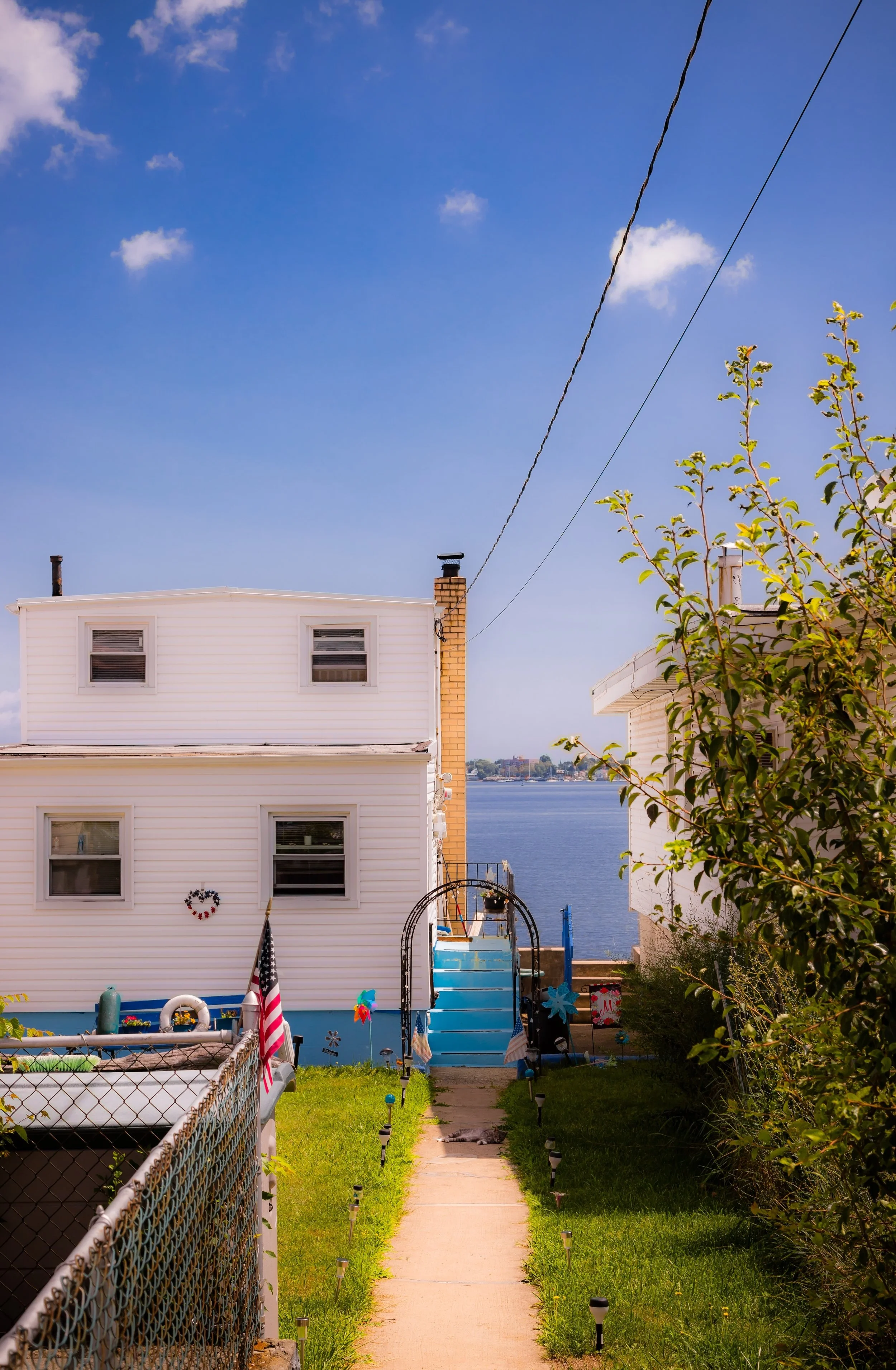
The bay’s calm waters make it a haven for kayakers, anglers, and small-boat sailors, many of whom launch from neighborhood marinas or nearby Pelham Bay Park facilities. Rising property values have brought gradual renovation rather than rapid transformation: older homes are modernized, porches extended, and waterfront fences replaced by decks that open to panoramic views of City Island and the Whitestone Bridge beyond.
Culturally, the area remains a blend of Italian-American legacy and growing Caribbean, Hispanic, and Albanian presence, reflecting the borough’s evolving diversity. Seasonal block parties, parish festivals, and community cleanups tie residents together, while the scent of saltwater and the cry of gulls remind all who live here that this corner of the Bronx is inseparable from the sea.
Eastchester Bay Photo Gallery
Spirit and Legacy
The spirit of Eastchester Bay is maritime at its core—quiet endurance at the water’s edge. Its legacy lies not in grand monuments or density, but in the steady rhythm of tides and lives lived beside them. Generations of dock builders, fishers, teachers, and commuters have looked out across these same waters, measuring the city not by its skyline but by the shimmer of the Sound at dusk.
New York City
Use this custom Google map to explore where every neighborhood in all five boroughs of New York City is located.
The Five Boroughs
One of New York City’s unique qualities is its organization in to 5 boroughs: Manhattan, Brooklyn, Queens, The Bronx, and Staten Island. These boroughs are part pragmatic administrative districts, and part vestiges of the region’s past. Each borough is an entire county in New York State - in fact, Brooklyn is, officially, Kings County, while Staten Island is, officially Richmond County. But that’s not the whole story …
Initially, New York City was located on the southern tip of Manhattan (now the Financial District) that was once the Dutch colony of New Amsterdam. Across the East River, another city was rising: Brooklyn. In time, the city planners realized that unification between the rapidly rising cities would create commercial and industrial opportunities - through streamlined administration of the region.
So powerful was the pull of unification between New York and Brooklyn that three more counties were pulled into the unification: The Bronx, Queens, and Staten Island. And on January 1, 1898, the City of New York unified two cities and three counties into one Greater City of New York - containing the five boroughs we know today.
But because each borough developed differently and distinctly until unification, their neighborhoods likewise uniquely developed. Today, there are nearly 390 neighborhoods, each with their own histories, cultures, cuisines, and personalities - and each with residents who are fiercely proud of their corner of The Big Apple.


