PELHAM BAY PARK
The Bronx
Geographic Setting
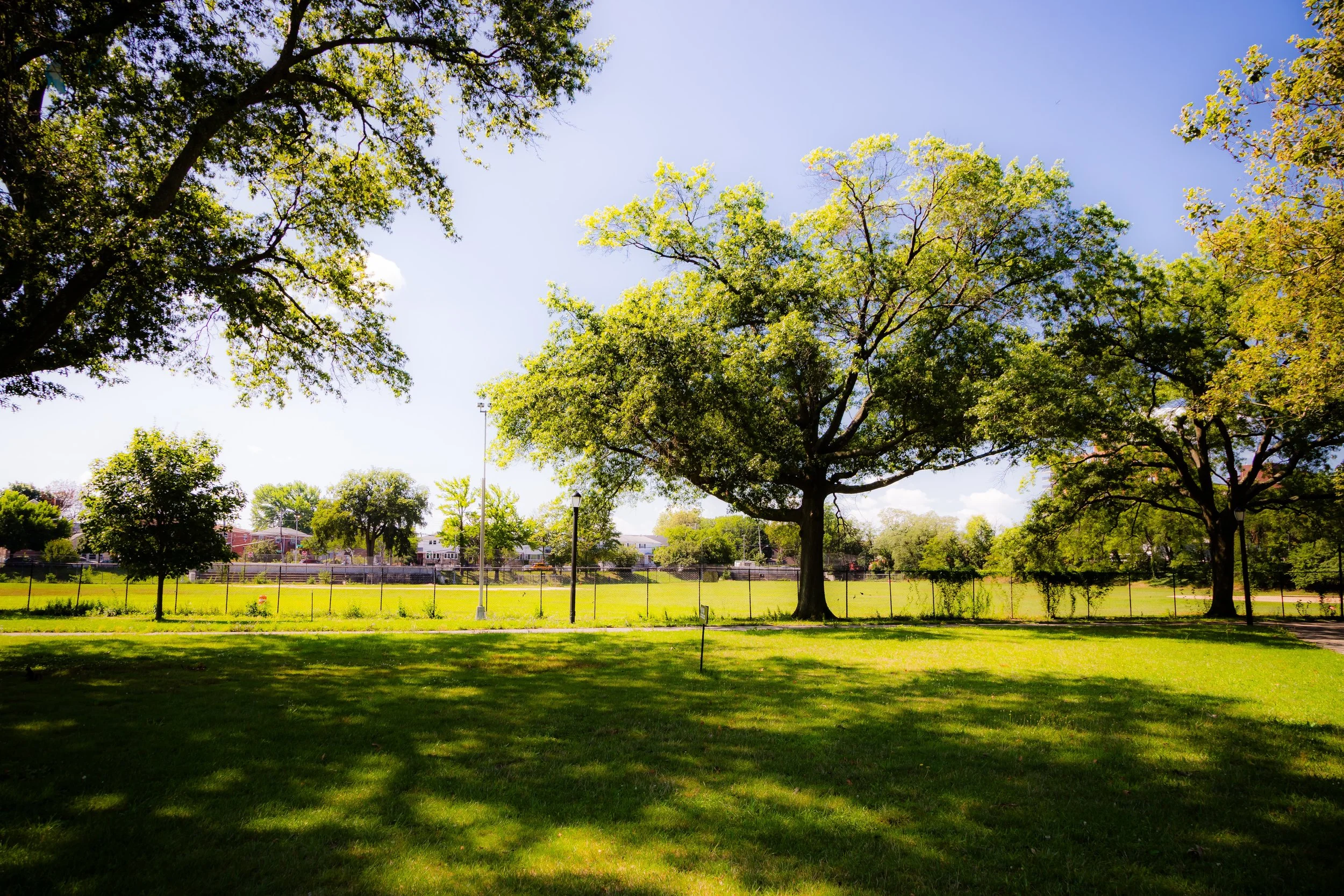
Bounded by Amtrak rail lines and Middletown Road to the south, Pelham Parkway and Eastchester Bay to the west, the Long Island Sound to the east, and Westchester County to the north, Pelham Bay Park spans a breathtaking 2,772 acres—making it New York City’s largest park, nearly three times the size of Central Park. It stretches across the Bronx’s northeastern shoreline in a vast mosaic of forests, meadows, tidal marshes, creeks, and beaches, encompassing within its bounds both wild landscapes and beloved civic destinations such as Orchard Beach, Split Rock Golf Course, and the Pelham Bay Golf Course.
The park’s terrain unfolds from the wooded uplands near Shore Road and Pelham Parkway to the saltwater estuaries of Hutchinson River and Orchard Beach Lagoon, and onward to the rocky promontories of Hunter Island and Twin Islands. City Island lies just offshore, historically and geographically linked to the park’s development. The park’s roadways—Shore Road, Orchard Beach Road, and Pelham Parkway—tie together its natural grandeur and recreational life, while the 6 train’s Pelham Bay Park Station serves as its gateway from the urban Bronx.
In its expansiveness and diversity, Pelham Bay Park represents the Bronx in full: a meeting of city and sea, history and habitat, wilderness and community.
Etymology
The park takes its name from the Town of Pelham, established in 1654 by Thomas Pell, an English settler who purchased the land from the local Siwanoy Lenape people. Pell named his manor Pelham after his ancestral home in England, and the adjacent bay—now Pelham Bay—soon became known by association.
When New York City incorporated this land into its park system in the 1880s, the name Pelham Bay Park honored both Pell’s early settlement and the maritime geography that defines the region. The word “Pelham” thus carries layered meanings: a legacy of colonial history, a reminder of the area’s early English roots, and a symbol of the Bronx’s transformation from rural estate to public refuge.
The Neighborhood
Origins through the 19th Century
Long before colonization, the area that would become Pelham Bay Park was part of the ancestral homeland of the Siwanoy, who lived along the shores of the Long Island Sound and the Hutchinson River. They fished, farmed, and hunted amid its salt meadows and oak forests, their settlements connected by coastal trails and canoe routes. The region’s abundance of oysters and clams made it an important seasonal gathering place, rich in both resources and spiritual meaning.
In 1654, Thomas Pell, a physician and trader from Fairfield, Connecticut, signed a treaty with the Siwanoy leaders Wampage and Ann-hook, acquiring 50,000 acres of land stretching from the Bronx to the Mamaroneck River. Pell built his manor on what is now Rodman’s Neck, where he lived until his death in 1669. His descendants continued to farm and manage the estate for generations, their lands encompassing much of what would later become Pelham Bay Park and City Island.
The area’s Revolutionary War history is profound: in 1776, the Battle of Pell’s Point (now part of the park) saw Colonel John Glover’s Marblehead Regiment delay British forces advancing toward Washington’s army retreating from Harlem Heights. The skirmish, fought among stone walls and rocky ridges still visible today, was pivotal in allowing the Continental Army to regroup and avoid capture.
By the mid-19th century, the land was dotted with farms, estates, and small communities. Wealthy families from Manhattan built summer homes overlooking the Sound, while working-class residents settled inland near what is now Pelham Parkway. When New York City annexed the area in 1895, civic reformers quickly moved to preserve its sweeping landscapes from suburban development, envisioning a park that would provide “the city’s lungs” on the Sound.
In 1888, under the leadership of Frederick Law Olmsted Jr. and the New York City Parks Department, Pelham Bay Park was formally established. It joined Van Cortlandt, Bronx, and Crotona Parks as part of the Bronx’s monumental greenbelt—an ambitious expression of the 19th-century belief in parks as instruments of health, morality, and democracy.
Early 20th Century: The People’s Seaside and the Park Beautiful
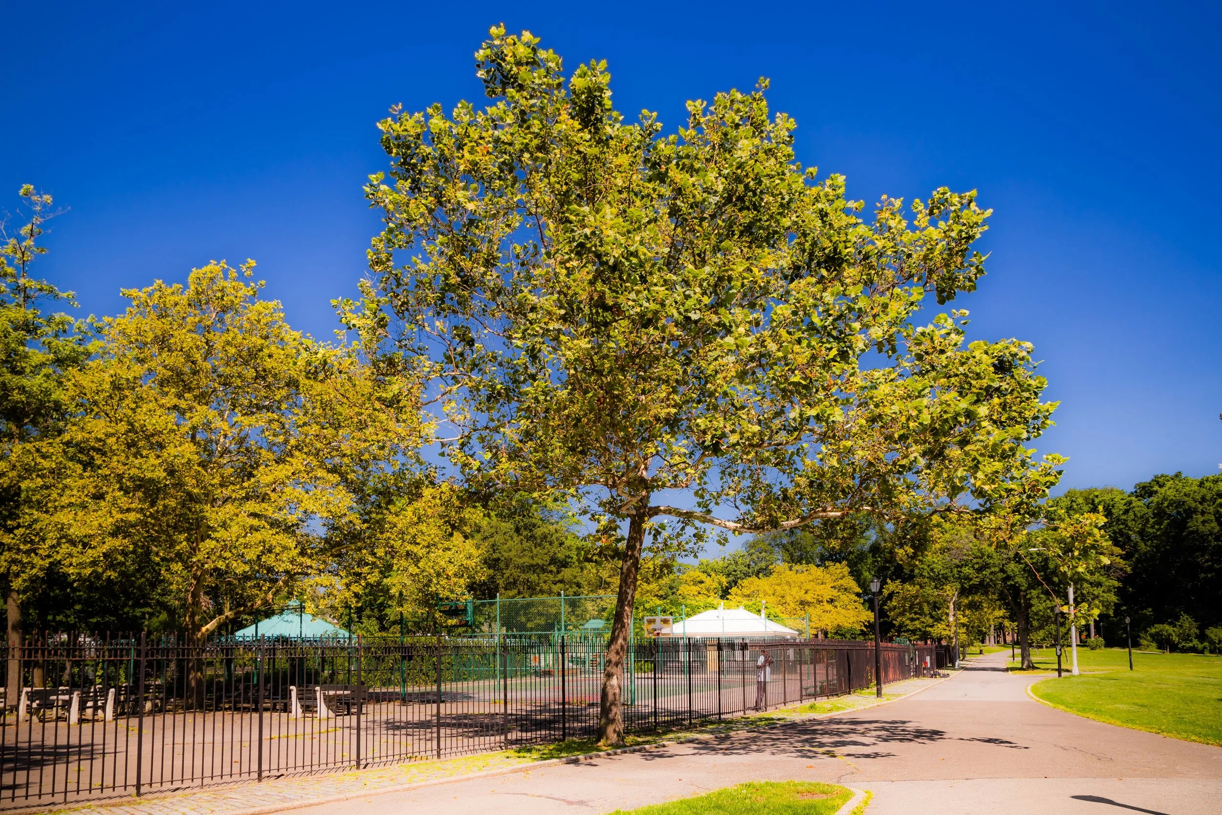
In the early 20th century, Pelham Bay Park became a playground for the entire city. The vast open spaces that had once been private farmland now hosted ballfields, bridle paths, and picnic grounds, while the Pelham Bay Golf Course (opened 1901) offered the first public golf experience in the Bronx. The park’s natural diversity—salt marshes, oak-hickory forests, freshwater ponds, and rocky outcrops—attracted naturalists and Sunday strollers alike.
The most transformative project came under Parks Commissioner Robert Moses, who in 1936 constructed Orchard Beach, often called “the Bronx Riviera.” Built on landfill connecting Hunter and Twin Islands, Orchard Beach featured a grand crescent-shaped promenade, bathhouse complex, and wide sandy shoreline. Designed in Art Moderne style by Aymar Embury II, it became one of the most popular beaches in New York City, accessible via the new Orchard Beach Parkway.
Moses’ era also saw the expansion of recreation: playgrounds, athletic fields, and the Split Rock Golf Course joined the landscape. At the same time, however, parkland was sacrificed for parkways and infrastructure, including the Hutchinson River Parkway and new traffic corridors along Shore Road—foreshadowing the mid-century tension between preservation and progress.
Still, Pelham Bay Park flourished as a democratic landscape. Families from across the Bronx came to swim, picnic, and celebrate holidays along its shores. For countless residents, the park became synonymous with summer freedom, its name etched into the borough’s collective memory.
Pelham Bay Park Video Coming Soon
Mid–Late 20th Century: Stewardship and Rediscovery
Through the 1950s–1970s, Pelham Bay Park remained a vital civic space but faced the same challenges that confronted urban parks citywide: pollution, neglect, and overuse. The rise of automobile traffic isolated sections of the park, and its wetlands—once rich with birds and fish—suffered from dumping and landfill.
Yet community stewardship persisted. The park’s two public golf courses, Pelham Bay and Split Rock, remained prized by Bronx golfers, while youth sports leagues kept the fields alive. The Bartow-Pell Mansion Museum, located along Shore Road, was restored and opened to the public in 1946, preserving a rare 19th-century estate house within the park.
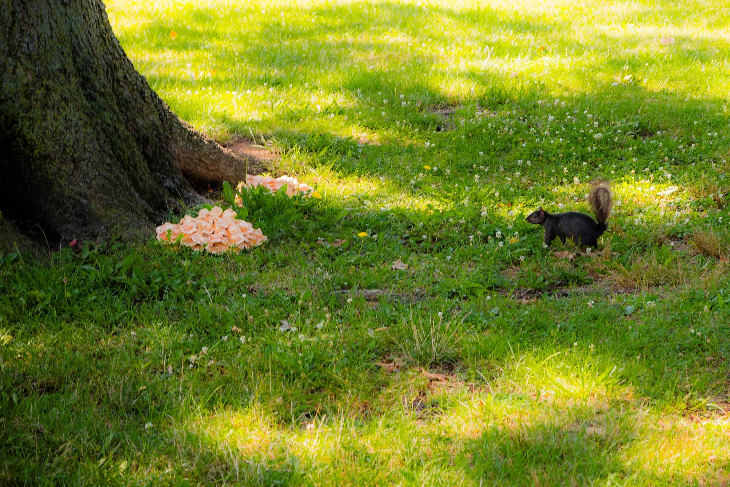
Environmental awareness in the 1970s–1980s rekindled interest in Pelham Bay’s natural systems. Activists and scientists began studying its salt marshes, advocating for conservation and cleanup. The park’s Kazimiroff Nature Trail, named after Bronx historian and naturalist Dr. Theodore Kazimiroff, opened in 1986, honoring his lifelong efforts to protect the park’s ecology. His “Save the Bronx Forest” campaign helped shift public perception—reminding New Yorkers that Pelham Bay Park was not merely a recreation ground, but an irreplaceable ecological reserve.
By the late 20th century, the park’s diverse ecosystems—Hunter Island Marine Zoology and Geology Sanctuary, Thomas Pell Wildlife Sanctuary, and Orchard Beach Lagoon—were granted formal protection, laying the foundation for its modern restoration.
21st Century: Restoration, Ecology, and Renewal
In the 21st century, Pelham Bay Park has emerged as both a natural sanctuary and a dynamic urban park. Ongoing projects by the New York City Department of Parks & Recreation, Natural Areas Conservancy, and local groups like the Friends of Pelham Bay Park have restored wetlands, stabilized shorelines, and expanded access to trails and waterfronts. The Hunter Island Salt Marsh Restoration Project has reestablished tidal flow and native vegetation, while the Pelham Bay Lagoon Restoration combats erosion and improves habitat for migratory birds and marine life.
The park’s facilities continue to serve millions of annual visitors. Orchard Beach remains a beloved summer destination, while the Pelham Bay Golf Course—home to two 18-hole courses—draws golfers from across the region. The Bartow-Pell Mansion, surrounded by its formal gardens and carriage house, offers tours, exhibitions, and concerts that connect visitors to the Bronx’s colonial and Gilded Age past.
Pelham Bay Park has also become a hub for outdoor education and environmental stewardship. Programs in birding, kayaking, and urban ecology invite Bronx residents to rediscover their shoreline and its wildlife. Restoration projects along the Hutchinson River and Lagoon Trail emphasize climate resilience, ensuring the park’s longevity amid rising sea levels and stronger coastal storms.
Pelham Bay Park Photo Gallery
Spirit and Legacy
The spirit of Pelham Bay Park is boundless—defined by its immensity, its history, and its harmony between city and nature. It is a place where the past and present merge: where the stone walls of Revolutionary battlefields overlook ballfields filled with children at play; where salt marshes teem with egrets beside highways of modern life.
Its legacy is that of New York’s great democratic wilderness—a park that belongs to everyone. From the Siwanoy’s hunting grounds to Thomas Pell’s manor, from WPA laborers to Bronx families escaping summer heat, each era has left its mark upon this landscape of memory and renewal.
New York City
Use this custom Google map to explore where every neighborhood in all five boroughs of New York City is located.
The Five Boroughs
One of New York City’s unique qualities is its organization in to 5 boroughs: Manhattan, Brooklyn, Queens, The Bronx, and Staten Island. These boroughs are part pragmatic administrative districts, and part vestiges of the region’s past. Each borough is an entire county in New York State - in fact, Brooklyn is, officially, Kings County, while Staten Island is, officially Richmond County. But that’s not the whole story …
Initially, New York City was located on the southern tip of Manhattan (now the Financial District) that was once the Dutch colony of New Amsterdam. Across the East River, another city was rising: Brooklyn. In time, the city planners realized that unification between the rapidly rising cities would create commercial and industrial opportunities - through streamlined administration of the region.
So powerful was the pull of unification between New York and Brooklyn that three more counties were pulled into the unification: The Bronx, Queens, and Staten Island. And on January 1, 1898, the City of New York unified two cities and three counties into one Greater City of New York - containing the five boroughs we know today.
But because each borough developed differently and distinctly until unification, their neighborhoods likewise uniquely developed. Today, there are nearly 390 neighborhoods, each with their own histories, cultures, cuisines, and personalities - and each with residents who are fiercely proud of their corner of The Big Apple.


