
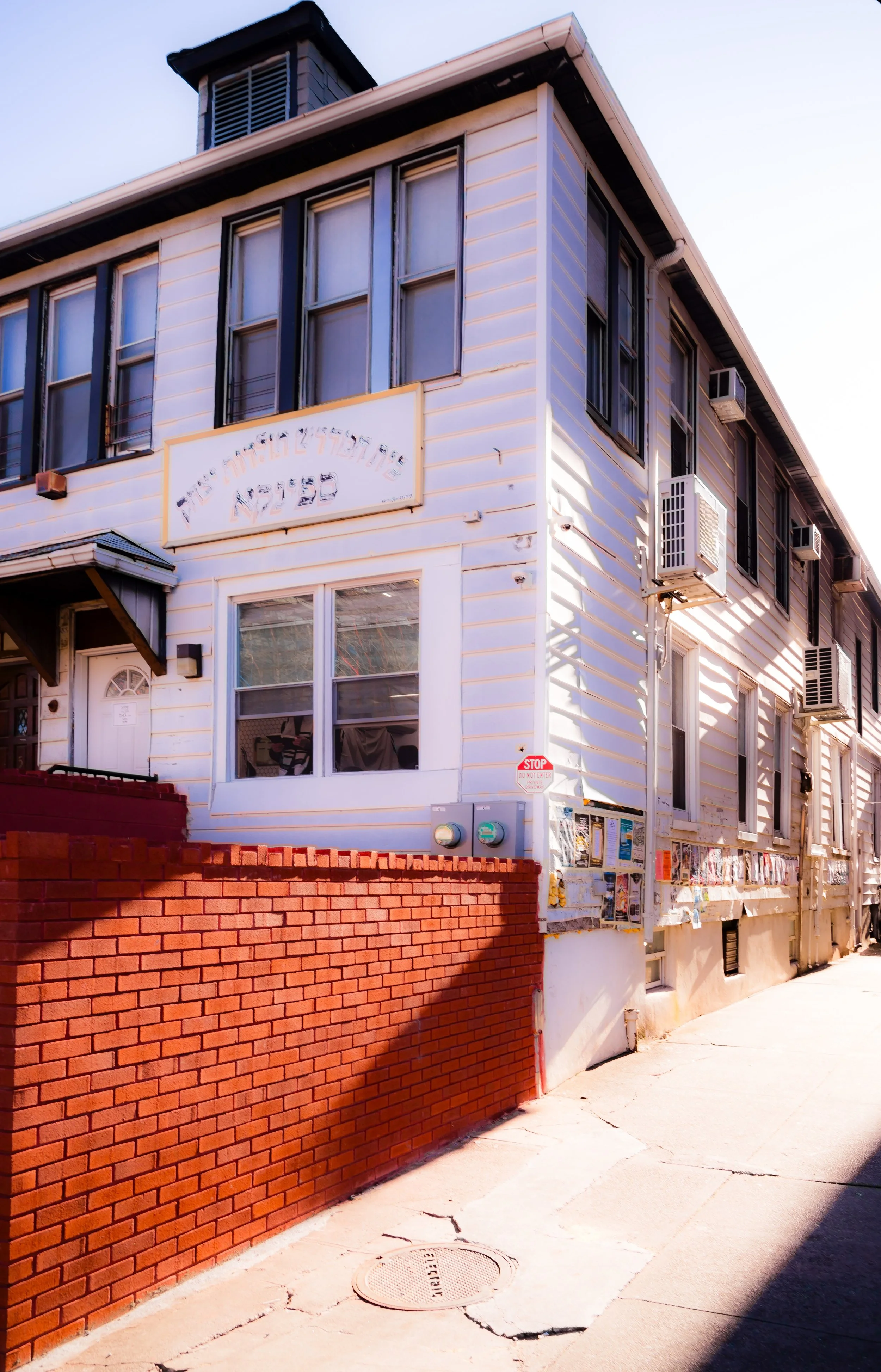
BOROUGH PARK
Brooklyn
Geographic Setting
Bounded by Martense Lane to the northwest, Dahill Road and McDonald Avenue to the east, Avenue N to the south, and a broad western edge defined successively by 60th Street to 16th Avenue, 16th Avenue to 65th Street, 65th Street to 8th Avenue, 8th Avenue to 60th Street, 60th Street to 9th Avenue, 9th Avenue to 37th Street, and 37th Street back to Martense Lane, Borough Park forms a vast, irregularly shaped district in the heart of southwestern Brooklyn. It is one of the city’s most populous and culturally distinct neighborhoods—a living urban village defined by its vibrant Hasidic Jewish community, its dense grid of attached homes and yeshivas, and the ceaseless rhythm of its streets.
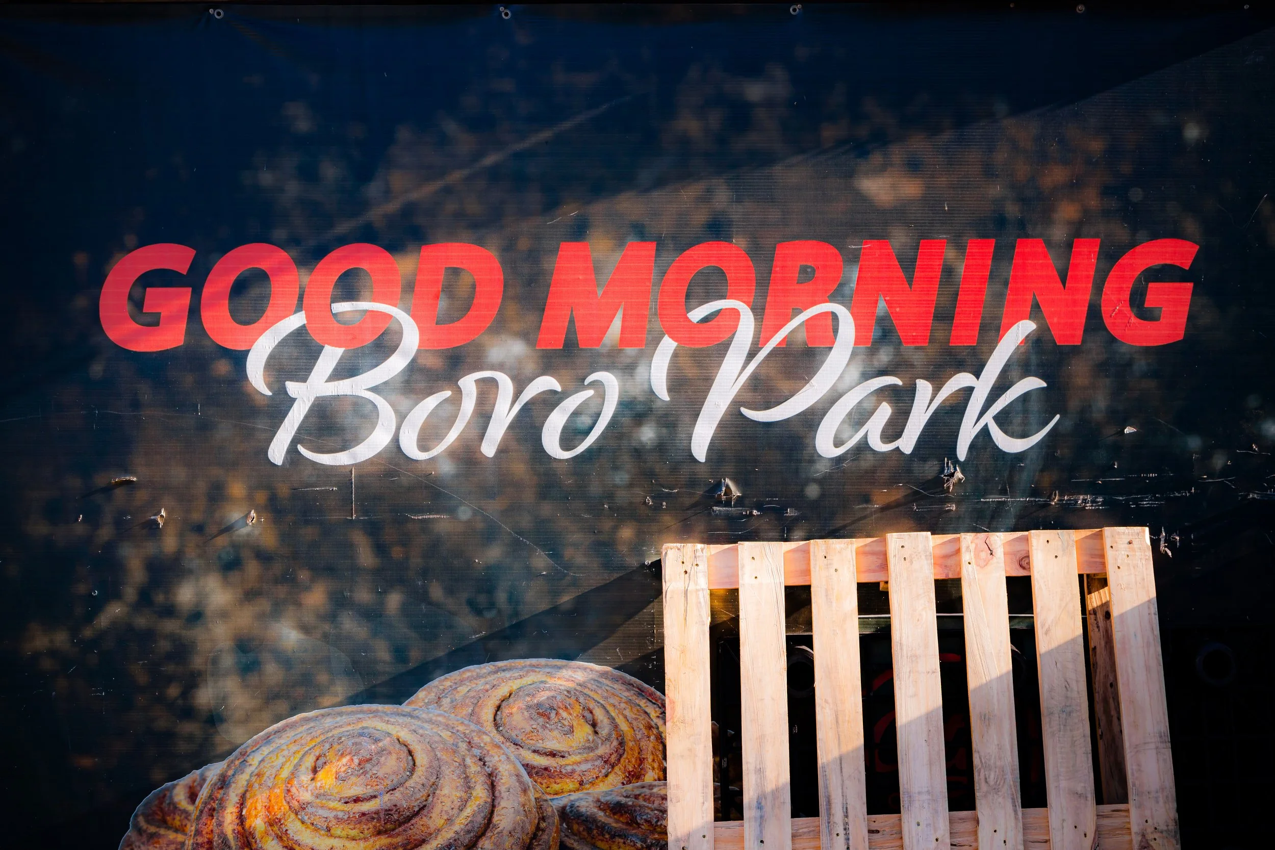
The neighborhood’s terrain rises gently from the industrial lowlands near McDonald Avenue toward the residential plateaus west of 13th and 14th Avenues, which serve as Borough Park’s commercial and social spine. Here, storefronts display Hebrew lettering, bakeries overflow with challah and rugelach, and the air is filled with the hum of Yiddish conversation. Along New Utrecht Avenue, the elevated D train cuts a diagonal path through the neighborhood, connecting it with both Coney Island and Midtown Manhattan. Despite its urban density, Borough Park feels self-contained—its institutions, schools, and businesses forming an interwoven fabric of faith and family that extends across generations.
Etymology and Origins
The name “Borough Park” dates to 1898, the year of Brooklyn’s consolidation into Greater New York. The name was chosen to emphasize its suburban appeal—“a park within the borough”—when developers sought to attract homebuyers to what had been a largely rural section of the old Town of New Utrecht. Prior to its development, the area consisted of farmlands and wooded tracts owned by Dutch and English families, traversed by country lanes like Martense Lane and Dahill Road, both of which still mark the neighborhood’s irregular borders.
The district’s transformation began in the 1890s, when developer Electus Litchfield and the Borough Park Improvement Company subdivided farmland into rectangular lots, promoting the area as a “modern residence park” for middle-class Brooklynites seeking larger homes, fresh air, and convenient trolley access. Early marketing materials boasted of wide streets, shade trees, and a sense of civic independence—qualities that, in time, would take on a very different but enduring meaning.
The Neighborhood
19th Century: Suburban Beginnings
In the final decades of the 19th century, Borough Park was still largely pastoral. Scattered farmhouses dotted the landscape, and unpaved roads connected it to neighboring Kensington, New Utrecht, and Bensonhurst. The arrival of the Brooklyn, Bath and West End Railroad (later part of the BMT D Line) and electric trolleys along New Utrecht Avenue spurred development. Brick and wooden two-family homes began to rise along 13th through 15th Avenues, while churches and small shops followed.
By the 1890s, Borough Park had become home to Irish, Italian, and Scandinavian immigrants, many of whom worked in nearby docks or factories. The opening of Washington Cemetery (1850) and the proximity of Green-Wood Cemetery gave the area a green fringe, while small synagogues appeared to serve the city’s first Jewish settlers in what was still a mixed-ethnic community.
In 1898, as Brooklyn formally joined New York City, Borough Park’s boosters proudly noted its modern amenities: piped water, gas lamps, and schools—all evidence that it had graduated from farmland to full-fledged suburb.
Early 20th Century: The Making of an Orthodox Enclave
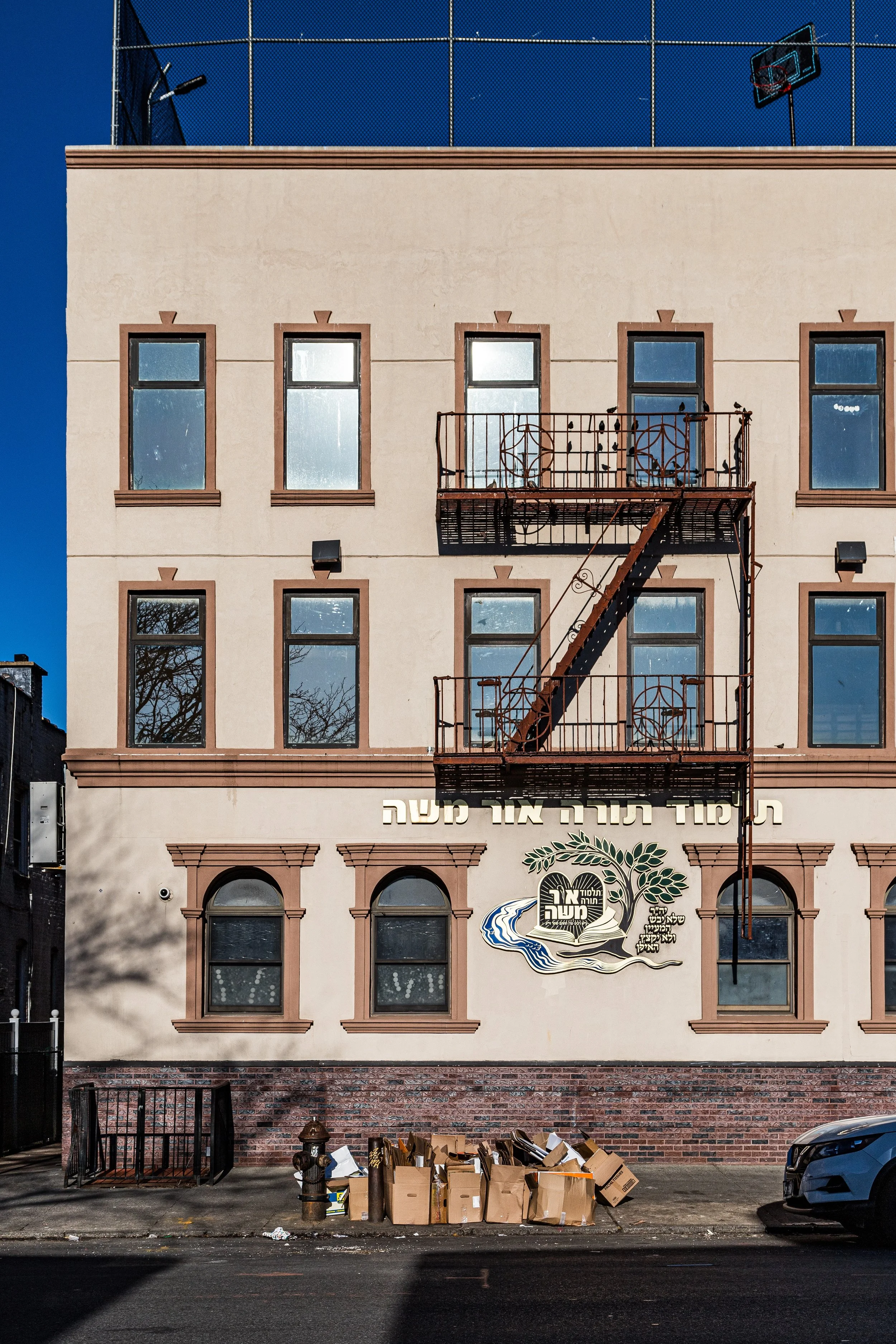
The early 1900s brought the first major wave of Jewish settlement to Borough Park, particularly after the completion of the Fourth Avenue Subway (BMT) in 1916, which offered direct service to Manhattan. Immigrants from Eastern Europe and later from Poland and Galicia established synagogues, yeshivas, and kosher markets along 13th Avenue, gradually transforming the area’s social fabric.
During the 1920s–1930s, Borough Park’s brownstone and brick housing stock expanded dramatically. Modest rowhouses, attached single-family dwellings, and low-rise apartment buildings filled the gridded streets between Fort Hamilton Parkway and McDonald Avenue. The neighborhood’s architecture—solid, practical, and humane—reflected its residents’ values: family, continuity, and community. Institutions like Young Israel of Borough Park (est. 1921) and Maimonides Hospital (founded 1911) anchored the neighborhood, providing both spiritual and physical care that continues today.
By the eve of World War II, Borough Park had emerged as a thriving, predominantly Jewish community—a mosaic of religious practice ranging from Modern Orthodox to traditional Hasidic sects.
Borough Park Photographic Video
Mid–Late 20th Century: Growth, Renewal, and Identity
The postwar decades solidified Borough Park’s transformation into one of the world’s most significant centers of Orthodox and Hasidic Judaism. Holocaust survivors and immigrants from Hungary, Romania, and the Soviet Union arrived in large numbers during the 1940s–1950s, joining earlier settlers and revitalizing local institutions. Distinct Hasidic dynasties—Bobov, Belz, Ger, and Satmar among them—established synagogues, yeshivas, and social service networks that became the pillars of daily life.
The neighborhood’s architecture adapted accordingly: older single-family houses were converted into multi-unit dwellings, new synagogues and schools filled former industrial lots, and commercial corridors along 13th and 16th Avenues buzzed with kosher butchers, Judaica shops, and bakeries. Despite the city’s fiscal crisis in the 1970s, Borough Park thrived through self-reliance, community charity, and an extraordinary birth rate that kept the population young and cohesive.
By the 1980s–1990s, the neighborhood’s streetscape had evolved into a dense yet orderly world unto itself: men in black coats and shtreimels hurrying to prayer, children crowding schoolyards, and minivans navigating narrow lanes between rows of brick homes. The area’s insularity—once seen as parochial—became its strength, sustaining a rich cultural and religious continuity through times of urban upheaval.
21st Century: Continuity and Expansion
Today, Borough Park remains one of Brooklyn’s most demographically distinct neighborhoods and a cornerstone of Orthodox Jewish life worldwide. Its population—estimated at over 100,000—continues to grow, driven by large families and a deeply rooted sense of community. 13th Avenue, the neighborhood’s main artery, remains its heartbeat: a continuous flow of shoppers, strollers, and carriages, flanked by kosher restaurants, clothing boutiques, Judaica shops, and banks catering to the observant community.
New developments have begun to rise along New Utrecht Avenue and 16th Avenue, though always within the aesthetic and cultural codes of the neighborhood. The Borough Park Jewish Community Council and local political representatives wield considerable influence in city affairs, advocating for housing, transportation, and education while safeguarding the area’s religious character.
Despite the pressures of modernization, Borough Park’s rhythms remain traditional. Shabbat transforms its busy streets into a landscape of quiet reverence, while festivals like Simchat Torah and Sukkot fill its sidewalks with light, song, and celebration. The district’s communal infrastructure—schools, mikvahs, synagogues, and charities—forms a social ecosystem that is remarkably self-sustaining, ensuring that Borough Park remains both old-world and enduringly alive.
Borough Park Photo Gallery
Spirit and Legacy
Borough Park’s legacy is one of faith, family, and perseverance. From farmland to suburb, from immigrant haven to Hasidic stronghold, it has evolved without surrendering its essence—a place where continuity is not nostalgia but a lived ideal. Its streets embody the rhythm of tradition within the machinery of the modern metropolis, proof that in a city defined by flux, rootedness can still thrive.
New York City
Use this custom Google map to explore where every neighborhood in all five boroughs of New York City is located.
The Five Boroughs
One of New York City’s unique qualities is its organization in to 5 boroughs: Manhattan, Brooklyn, Queens, The Bronx, and Staten Island. These boroughs are part pragmatic administrative districts, and part vestiges of the region’s past. Each borough is an entire county in New York State - in fact, Brooklyn is, officially, Kings County, while Staten Island is, officially Richmond County. But that’s not the whole story …
Initially, New York City was located on the southern tip of Manhattan (now the Financial District) that was once the Dutch colony of New Amsterdam. Across the East River, another city was rising: Brooklyn. In time, the city planners realized that unification between the rapidly rising cities would create commercial and industrial opportunities - through streamlined administration of the region.
So powerful was the pull of unification between New York and Brooklyn that three more counties were pulled into the unification: The Bronx, Queens, and Staten Island. And on January 1, 1898, the City of New York unified two cities and three counties into one Greater City of New York - containing the five boroughs we know today.
But because each borough developed differently and distinctly until unification, their neighborhoods likewise uniquely developed. Today, there are nearly 390 neighborhoods, each with their own histories, cultures, cuisines, and personalities - and each with residents who are fiercely proud of their corner of The Big Apple.


