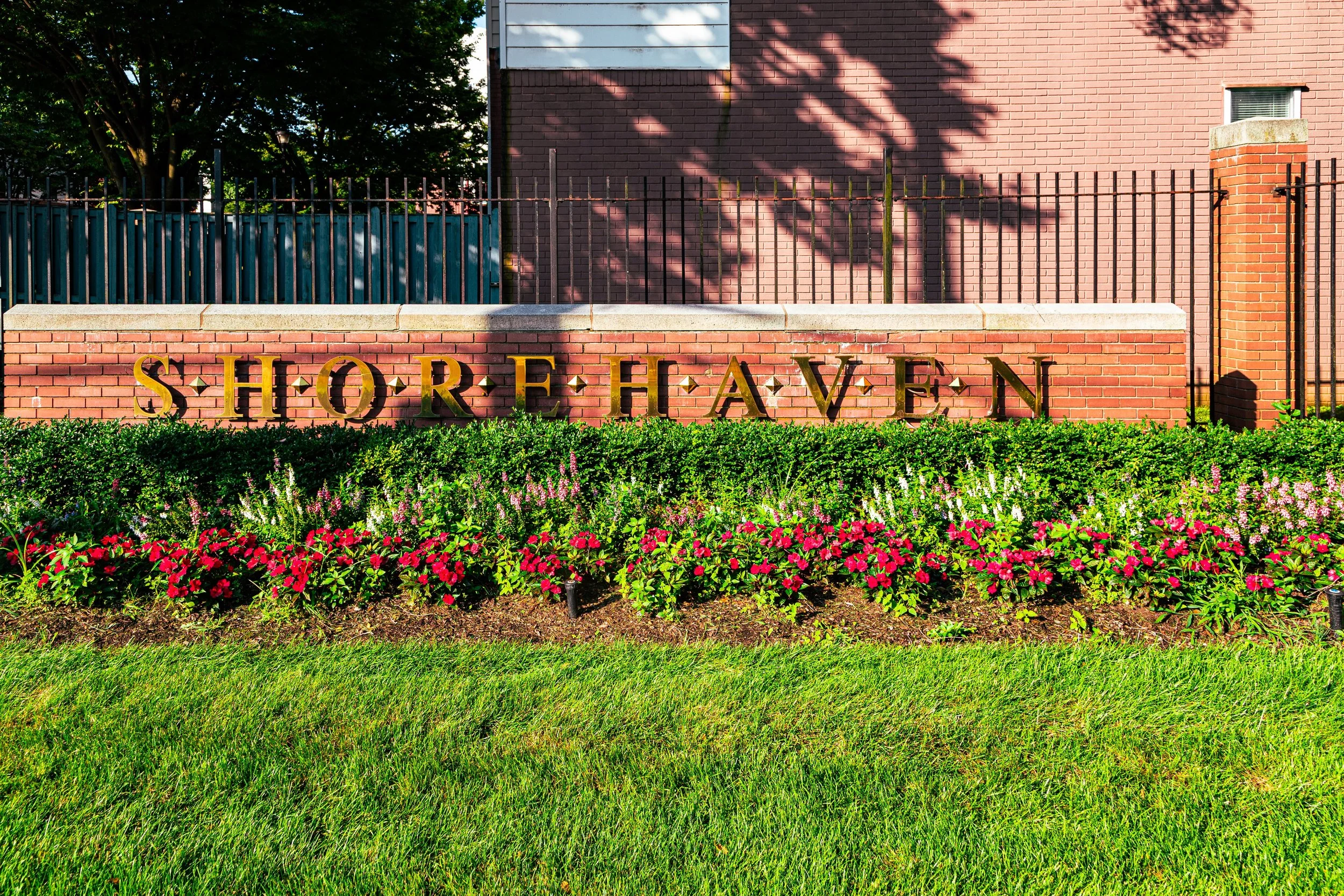
SHOREHAVEN
The Bronx
Geographic Setting
Bounded by Bolton Avenue to the west, Gildersleeve Avenue to the north, Soundview Avenue to the northeast, and the East River to the south, Shorehaven occupies a secluded waterfront stretch along the southeastern edge of the Bronx. Tucked between Soundview and Clason Point, it forms a peninsula overlooking the confluence of the Bronx River and the East River, with sweeping views toward Rikers Island, Queens, and the distant skyline of Manhattan. The neighborhood’s geography defines its identity: low-lying, breezy, and framed by water and marshland, it is one of the Bronx’s most distinctive examples of modern waterfront redevelopment layered upon historic shoreline industry.
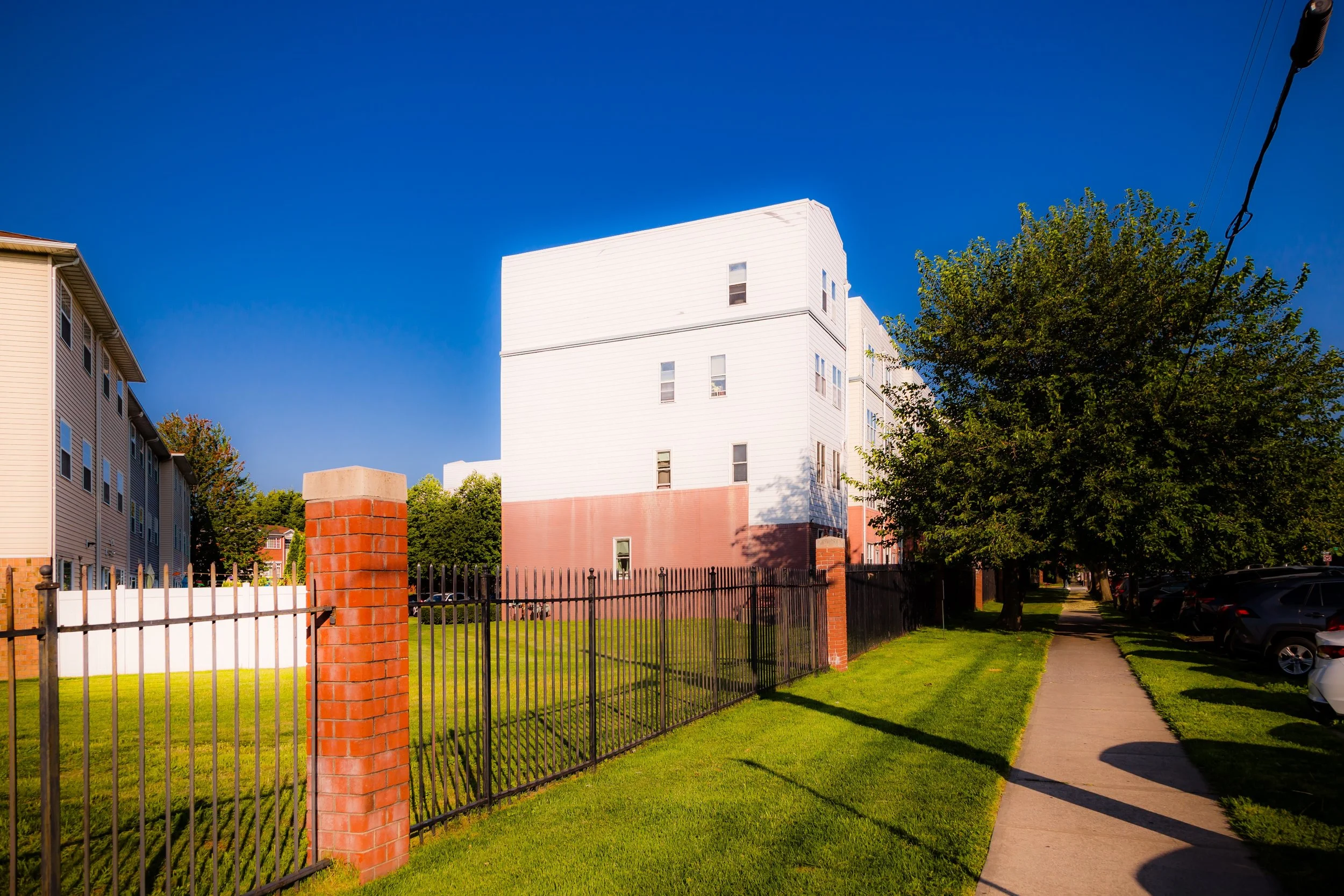
Within these boundaries, Shorehaven’s internal landscape is notably distinct from the gridded Bronx above it. The community centers on Harbor Pointe at Shorehaven, a planned residential development of townhouses, condominiums, and apartment buildings laid out along curving streets, walking paths, and landscaped lawns. Shorehaven Boulevard, Soundview Avenue, and Gildersleeve Avenue form its main circulation routes, while the Shorehaven Clubhouse and its adjoining pool, tennis courts, and marina anchor the neighborhood’s recreational core. To the south, Shorehaven Park and the Bronx River Greenway provide public access to the waterfront—a rare amenity in a borough whose industrial history often walled off the water from its residents.
Etymology
The name “Shorehaven” evokes both geography and aspiration. It combines the words shore—reflecting the area’s position along the tidal edge of the East River—and haven, meaning a place of safety or refuge. The term first appeared in development plans of the late 20th century, when city officials and private builders sought to transform the derelict industrial shoreline into a livable residential enclave. The name thus carries dual meaning: a literal description of a community “by the shore,” and a symbolic nod to the desire for renewal and sanctuary after decades of urban decline.
Though the name is modern, its maritime connotations echo the area’s older history as a working waterfront—a place where shipbuilders, oystermen, and longshoremen once labored along the same shoreline now lined with gardens and walkways.
The Neighborhood
Origins through the 19th Century
Before its transformation, the land that became Shorehaven was part of the Sound View and Clason Point tracts—marshy lowlands belonging to the Clason family in the 18th century and used for farming and coastal trade. The area’s proximity to both the Bronx River and East River made it ideal for small boatyards and fisheries. By the mid-19th century, this coastal stretch was dotted with summer resorts and working-class cottages that drew visitors from the city seeking relief from the summer heat.
The opening of Soundview Avenue in the late 1800s, connecting the interior Bronx to the shoreline, brought limited urbanization, but much of the area remained rural well into the 20th century. Marshland, creeks, and tidal inlets defined the landscape. As the city industrialized, parts of the coast were reclaimed and filled for ship repair, lumber storage, and light manufacturing. By the 1930s, the area’s waterfront had taken on a more industrial character, though its isolation from major transit routes prevented heavy urbanization.
Early 20th Century: From Maritime Edge to Urban Fringe
In the early 20th century, the area that would become Shorehaven was a mix of industrial yards and working-class housing. Its waterfront served barge operators and maritime repair shops tied to the nearby Bronx River Ship Canal, while inland streets like Bolton Avenue and Gildersleeve Avenue supported small residential clusters linked to the larger communities of Soundview and Clason Point.
The 1930s–1940s brought profound change to the Bronx’s shoreline. Under Robert Moses, sections of the East River waterfront were reshaped for parkland and infrastructure. The nearby Soundview Houses (completed in 1954) marked the city’s postwar commitment to public housing, but the adjacent Shorehaven peninsula remained largely industrial and neglected, hemmed in by waterways and warehouses. Its isolation left it physically intact but economically stagnant—a forgotten edge of the Bronx awaiting reinvention.
Shorehaven Video Coming Soon
Mid–Late 20th Century: Decline and Dormancy
By the 1960s–1980s, Shorehaven’s waterfront had fallen into decline. The industries that once occupied its shoreline—boatyards, freight depots, and scrap facilities—closed as shipping moved to larger ports in New Jersey. The land was left scarred by neglect and illegal dumping, while the adjacent waters of the East River grew polluted. The Bronx as a whole suffered from disinvestment during these decades, and Shorehaven’s remoteness compounded its neglect.
Yet this period of inactivity inadvertently preserved the site for future reuse. With its low density, water views, and open tracts of land, the area drew the attention of urban planners seeking new models of postindustrial redevelopment. By the late 1980s, as city agencies began promoting mixed-income housing initiatives, Shorehaven’s potential as a waterfront community—long ignored—was rediscovered.
21st Century: The Rise of Harbor Pointe and the New Bronx Waterfront
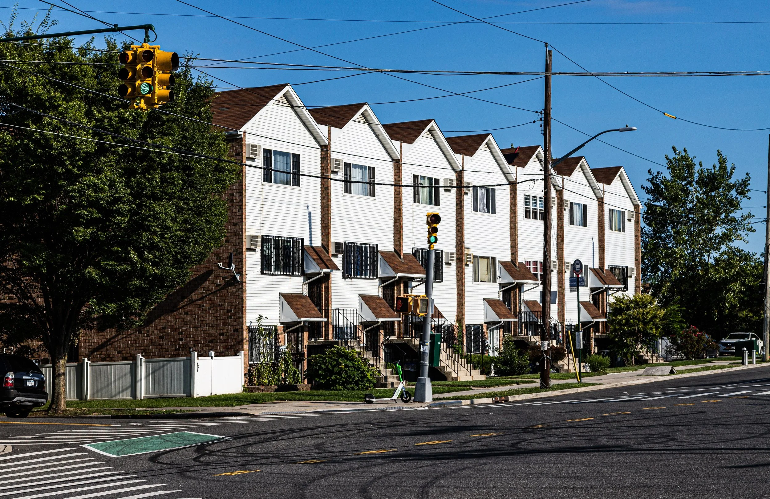
The rebirth of Shorehaven began in the 1990s and accelerated in the early 2000s with the creation of Harbor Pointe at Shorehaven, a master-planned community designed to bring middle-income housing to the Bronx waterfront. Built on land formerly used for shipping and storage, the project introduced more than 1,000 residential units in townhouses, condominiums, and midrise buildings. Landscaped promenades, private courtyards, and recreational facilities transformed the peninsula into one of the borough’s most modern enclaves.
The development coincided with broader city initiatives to reclaim the Bronx’s waterfront for public use. The Bronx River Greenway, whose southern terminus runs through Shorehaven, restored public access to the shoreline for the first time in over a century. Shorehaven Park, opened in the 2010s, added ballfields, walking trails, and riverfront seating, while new piers and docks revived the neighborhood’s maritime heritage. The result is a rare Bronx community where residents live steps from the water—a vision once nearly unthinkable in the borough’s industrial past.
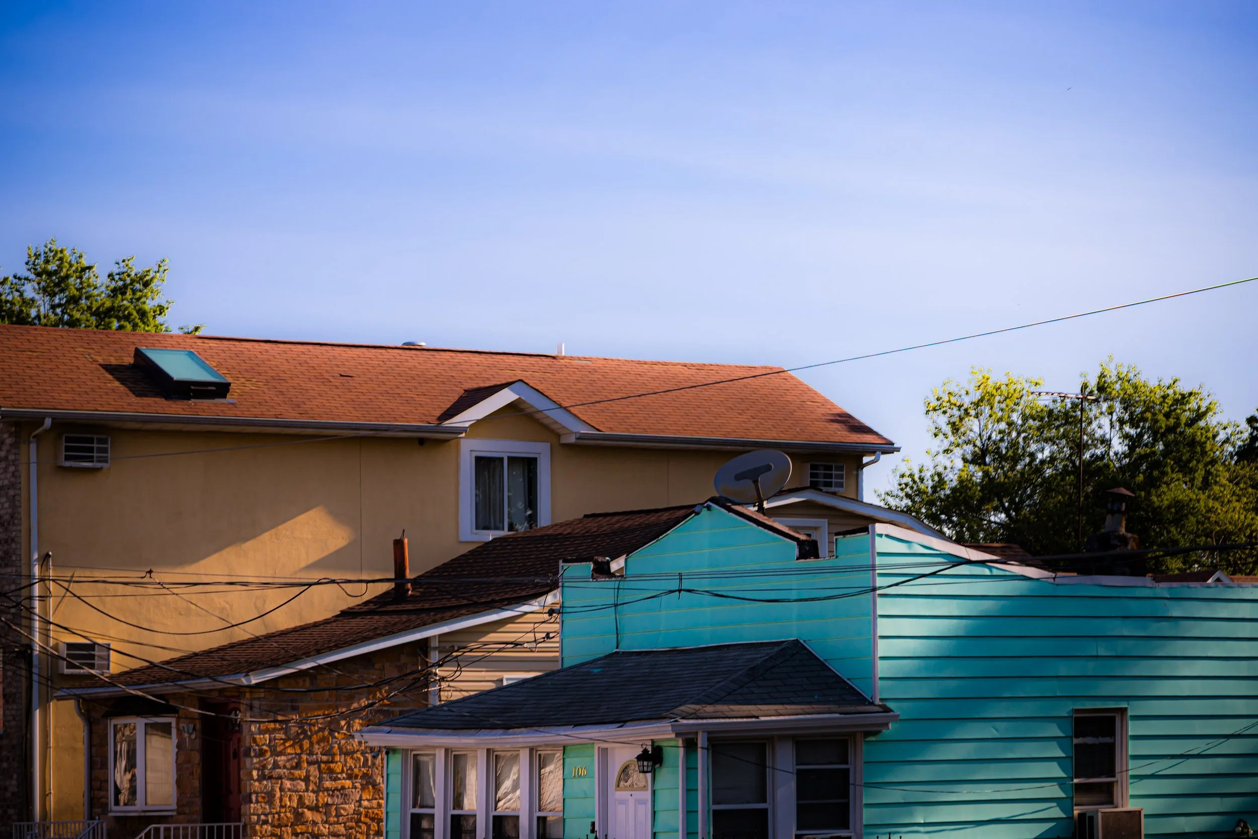
Today, Shorehaven is home to a diverse mix of Black, Latino, Caribbean, and South Asian families, many of whom were drawn by its combination of affordability, space, and coastal setting. Its homeowners’ associations maintain communal spaces and organize neighborhood events, reinforcing the sense of shared stewardship that defines the area. The district’s design—a mix of private homes and shared amenities—reflects a 21st-century vision of sustainable, community-based urban living.
Shorehaven Photo Gallery
Spirit and Legacy
The spirit of Shorehaven lies in its transformation—a story of reclamation, renewal, and redefinition. From a marshy industrial outpost to a vibrant waterfront neighborhood, it embodies the Bronx’s larger trajectory from neglect to reinvention. Here, new homes rise where shipyards once stood, and the sound of waves replaces the clang of machinery.
New York City
Use this custom Google map to explore where every neighborhood in all five boroughs of New York City is located.
The Five Boroughs
One of New York City’s unique qualities is its organization in to 5 boroughs: Manhattan, Brooklyn, Queens, The Bronx, and Staten Island. These boroughs are part pragmatic administrative districts, and part vestiges of the region’s past. Each borough is an entire county in New York State - in fact, Brooklyn is, officially, Kings County, while Staten Island is, officially Richmond County. But that’s not the whole story …
Initially, New York City was located on the southern tip of Manhattan (now the Financial District) that was once the Dutch colony of New Amsterdam. Across the East River, another city was rising: Brooklyn. In time, the city planners realized that unification between the rapidly rising cities would create commercial and industrial opportunities - through streamlined administration of the region.
So powerful was the pull of unification between New York and Brooklyn that three more counties were pulled into the unification: The Bronx, Queens, and Staten Island. And on January 1, 1898, the City of New York unified two cities and three counties into one Greater City of New York - containing the five boroughs we know today.
But because each borough developed differently and distinctly until unification, their neighborhoods likewise uniquely developed. Today, there are nearly 390 neighborhoods, each with their own histories, cultures, cuisines, and personalities - and each with residents who are fiercely proud of their corner of The Big Apple.


