GRANITEVILLE
Staten Island
Geographic Setting
Bounded by the Staten Island Expressway to the south, South Avenue to the west, Forest Avenue to the north, and Willow Road West to the east, Graniteville lies within Staten Island’s northwestern corridor—an area defined by its proximity to the island’s industrial spine yet rich in community life and natural features. Set between Mariner’s Harbor to the north and Bloomfield to the southwest, the neighborhood occupies gently undulating terrain that slopes toward the wetlands of Marsh Avenue and the Willowbrook Park system beyond.
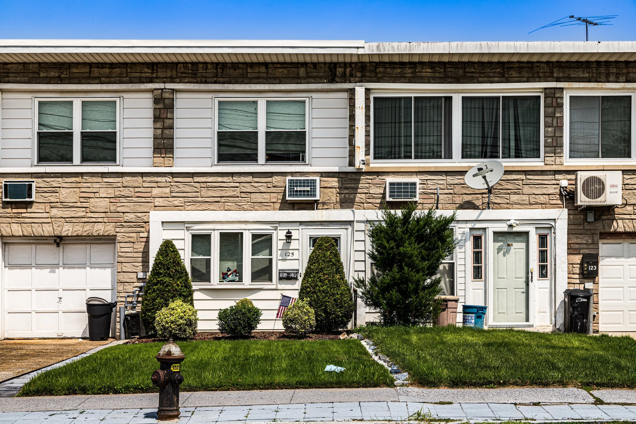
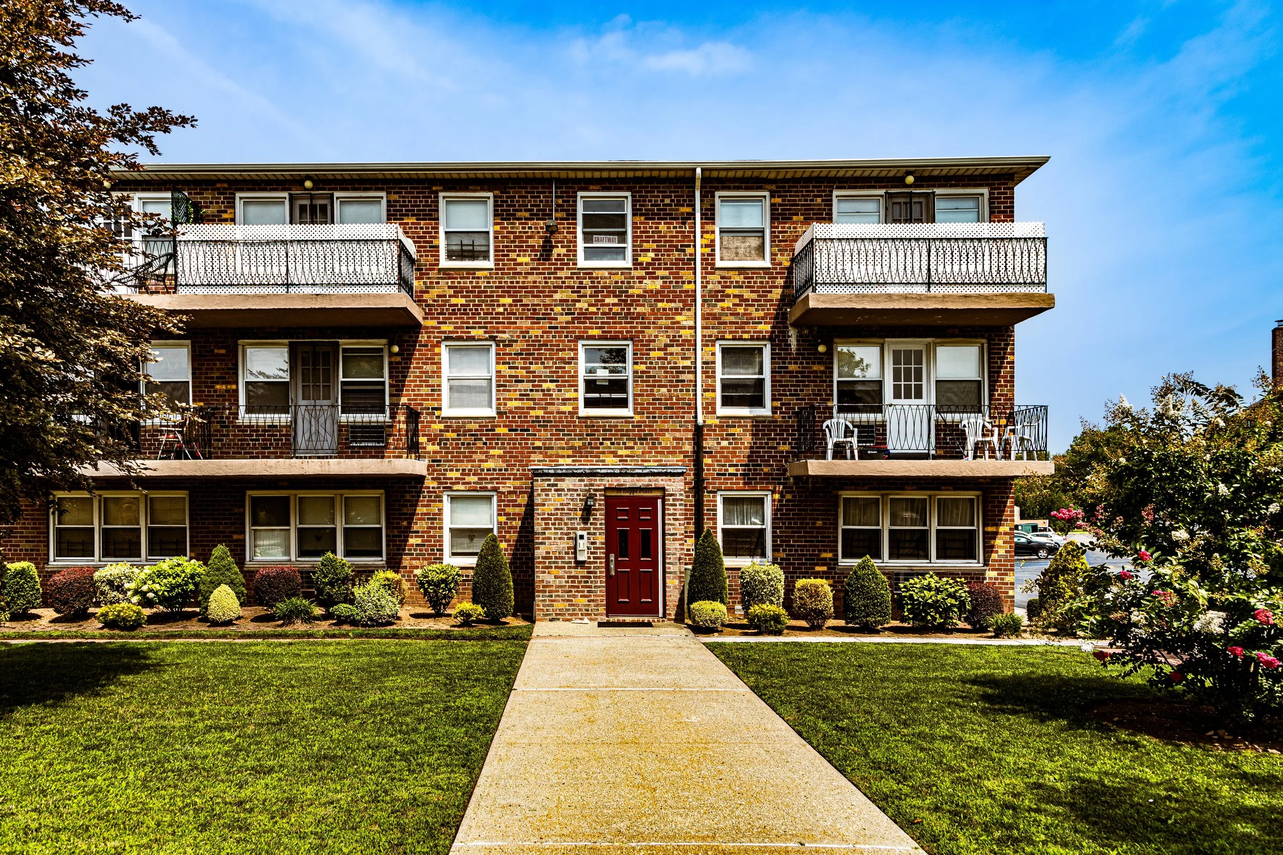
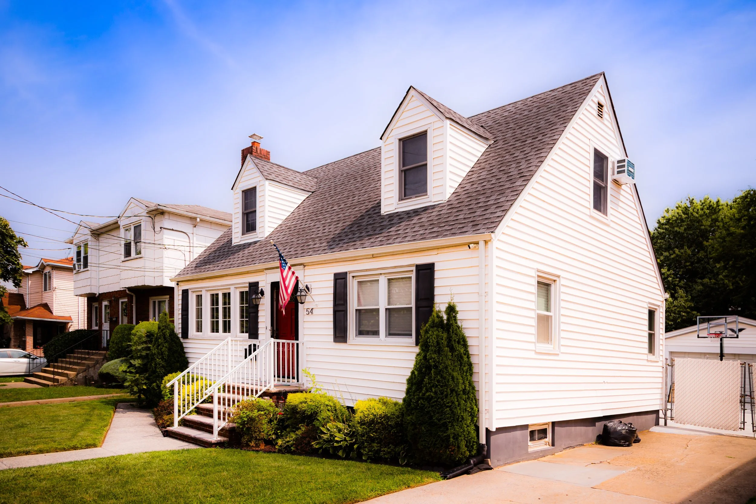
Despite being framed by major roads and commercial zones, Graniteville retains the intimate scale of a residential district. Its streets, many still shaded by mature maples and oaks, are lined with modest single-family homes, townhouses, and small apartment buildings that reflect the neighborhood’s 20th-century suburban development. To the east, the Graniteville Quarry Park and surrounding woodlands preserve traces of the area’s namesake industry and offer sweeping views over Staten Island’s lowlands. The neighborhood’s location—bordered by highways yet buffered by greenery—gives it both accessibility and a surprising sense of calm within the busy fabric of Staten Island’s North Shore.
Etymology
The name Graniteville originates from the granite quarrying operations that once defined the area in the 19th century. The district’s rich deposits of trap rock, used for paving stones and construction throughout New York City, made it an early industrial hub on Staten Island. The quarry, located near what is now Willow Road West, provided employment and lent the community both its name and its early character.
By the late 1800s, “Graniteville” appeared on maps as a formal place name, distinguishing it from neighboring Mariner’s Harbor and Port Richmond. The word captured both the physical and symbolic strength of the community—rooted in stone, shaped by labor, and enduring across generations.
The Neighborhood
Origins through the 19th Century
In the 18th and early 19th centuries, the land that became Graniteville formed part of the rural Town of Northfield, a landscape of farms, woodlots, and freshwater streams. Settlers of Dutch and English descent cultivated small plots along Forest Avenue, sending goods to the bustling markets of Port Richmond. The discovery of abundant stone deposits in the mid-1800s transformed this pastoral setting into an industrial site.
By the 1840s, quarrying companies had established operations here, cutting and transporting blocks of granite and trap rock by cart to the Kill Van Kull. The industry attracted immigrant laborers—Irish, German, and later Italian—who built modest cottages near the worksites. The quarry gave rise to a small but distinct settlement, complete with boardinghouses, a general store, and a few taverns catering to workers.
As quarrying expanded, the area developed its reputation as a place of industry and resilience. When the Staten Island Railroad (later the Staten Island Rapid Transit) opened in 1860, connecting the North Shore to the ferry terminals, Graniteville’s accessibility improved, and small-scale housing began to spread around Forest Avenue and South Avenue. By century’s end, the granite pits had begun to decline, but the community remained—a working-class village shaped by stone and sweat.
Early 20th Century: From Quarry to Community
As the 20th century began, the old quarrying operations gradually ceased, leaving behind rugged pits and hillsides that nature reclaimed. Some of these former industrial tracts were later converted into parkland and reservoirs, contributing to the neighborhood’s unusual topography. The remaining residents—descendants of quarry workers and newer immigrants from southern and eastern Europe—turned Graniteville into a stable, semi-rural community.
During the 1920s and 1930s, the neighborhood saw modest residential growth. Forest Avenue, already an important cross-island route, became the center of local commerce with shops, bakeries, and service stations. Churches such as Christ Assembly Lutheran and Our Lady of Pity served as social anchors, while small public schools reflected the area’s family-oriented identity.
Graniteville’s character through these decades was one of balance: industry nearby, quiet streets within. The quarries had given way to gardens and lawns, but the memory of labor and craftsmanship remained in the very stone of the neighborhood’s retaining walls and foundations.
Graniteville Video Coming Soon
Mid–Late 20th Century: Suburbanization and Infrastructure
The post–World War II era brought dramatic change to Graniteville as Staten Island underwent its great suburban transformation. The completion of the Staten Island Expressway (1964) and the Verrazzano-Narrows Bridge made the neighborhood far more accessible, prompting waves of new housing construction. Former industrial and undeveloped tracts were subdivided into residential blocks, while shopping plazas and warehouses appeared along South Avenue.
Graniteville evolved into a classic mid-century suburb: tidy single-family homes, tree-lined streets, and neighborhood schools. The 1960s also brought the Graniteville Quarry Park initiative, which preserved part of the original quarry site as open space—a decision that would prove visionary as Staten Island’s open lands rapidly disappeared. Meanwhile, the expressway’s proximity linked the community to the broader metropolitan region, attracting new residents from Brooklyn and elsewhere seeking affordable homeownership.
By the 1980s and 1990s, Graniteville’s demographic makeup reflected Staten Island’s growing diversity. The area retained a strong Italian-American core but welcomed families of Caribbean, Hispanic, and Asian descent, whose presence enriched local culture and commerce. Civic associations and religious institutions worked to maintain the neighborhood’s residential stability amid commercial expansion along the island’s western corridor.
21st Century: Green Resilience and Community Identity
In the 21st century, Graniteville remains a neighborhood of quiet endurance—a blend of historic resilience and modern adaptation. Its strategic location between the West Shore Industrial Corridor and the Willowbrook Greenbelt situates it at the intersection of commerce and conservation. The reopening and expansion of Graniteville Quarry Park have reconnected residents to their geological and historical roots: the old quarry site, with its exposed cliffs and scenic overlooks, now serves as both educational resource and urban sanctuary.
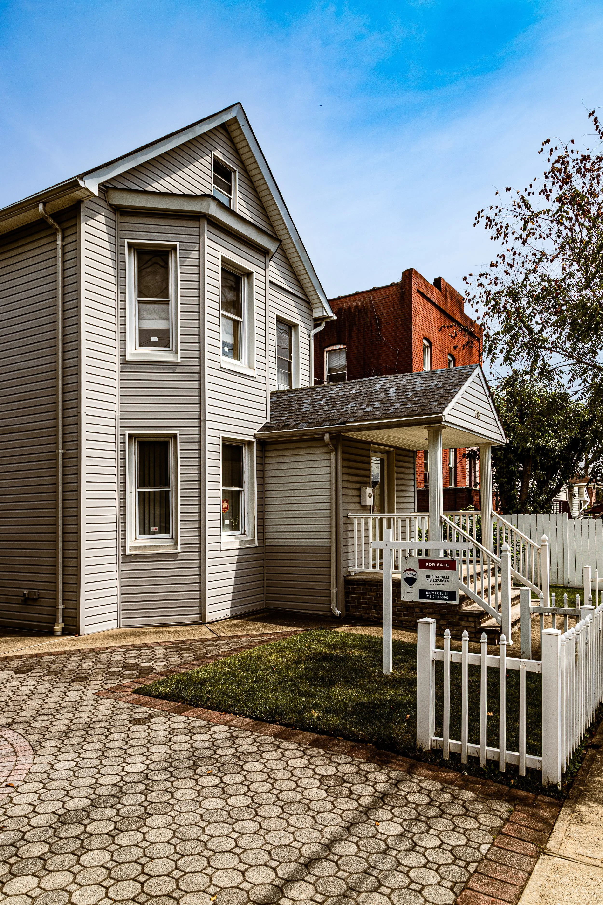
Residentially, Graniteville continues to thrive as a diverse, middle-class enclave. Many homes have been renovated or expanded, reflecting renewed investment, while new housing developments and retail centers along Forest Avenue and South Avenue provide convenience without erasing the area’s small-town rhythm. Schools, churches, and community centers remain active, fostering civic pride and intergenerational continuity. Environmental stewardship has become a defining cause, particularly following local flooding and stormwater challenges. Neighborhood groups and city agencies have collaborated to improve drainage, expand parklands, and strengthen the resilience of the surrounding wetlands.
Through these changes, Graniteville’s enduring character persists: practical, neighborly, and self-reliant—a community grounded as firmly as the stone that gave it its name.
Graniteville Photo Gallery
Spirit and Legacy
The spirit of Graniteville is one of persistence through transformation. Born of the quarry, shaped by labor, and refined by time, it stands as a testament to Staten Island’s working-class foundations and suburban evolution. Its legacy lies not only in its name but in its landscape—hills carved by industry now softened by trees and lawns, echoes of hammer and chisel replaced by the laughter of families and the hum of everyday life.
New York City
Use this custom Google map to explore where every neighborhood in all five boroughs of New York City is located.
The Five Boroughs
One of New York City’s unique qualities is its organization in to 5 boroughs: Manhattan, Brooklyn, Queens, The Bronx, and Staten Island. These boroughs are part pragmatic administrative districts, and part vestiges of the region’s past. Each borough is an entire county in New York State - in fact, Brooklyn is, officially, Kings County, while Staten Island is, officially Richmond County. But that’s not the whole story …
Initially, New York City was located on the southern tip of Manhattan (now the Financial District) that was once the Dutch colony of New Amsterdam. Across the East River, another city was rising: Brooklyn. In time, the city planners realized that unification between the rapidly rising cities would create commercial and industrial opportunities - through streamlined administration of the region.
So powerful was the pull of unification between New York and Brooklyn that three more counties were pulled into the unification: The Bronx, Queens, and Staten Island. And on January 1, 1898, the City of New York unified two cities and three counties into one Greater City of New York - containing the five boroughs we know today.
But because each borough developed differently and distinctly until unification, their neighborhoods likewise uniquely developed. Today, there are nearly 390 neighborhoods, each with their own histories, cultures, cuisines, and personalities - and each with residents who are fiercely proud of their corner of The Big Apple.


