BROOKVILLE
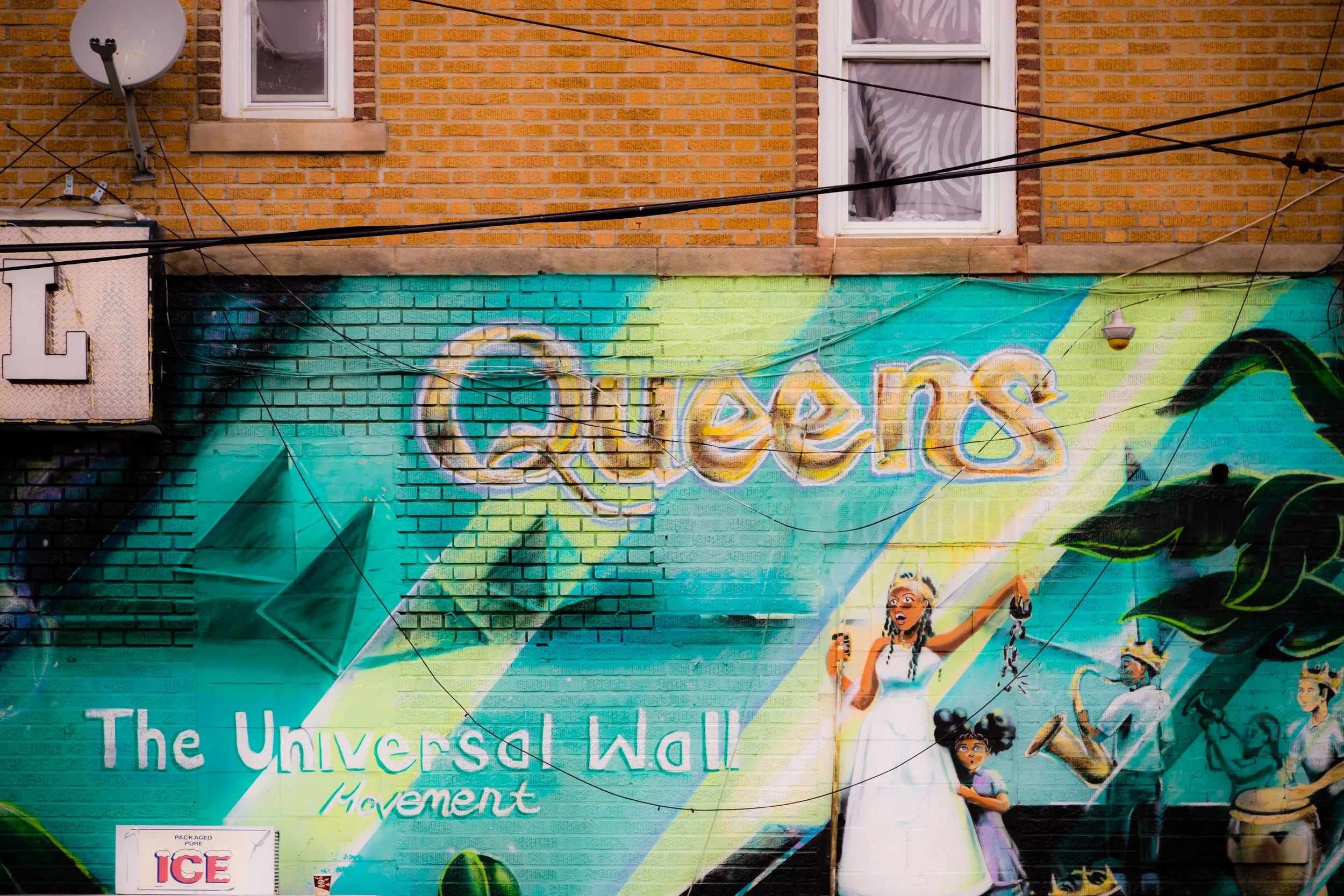
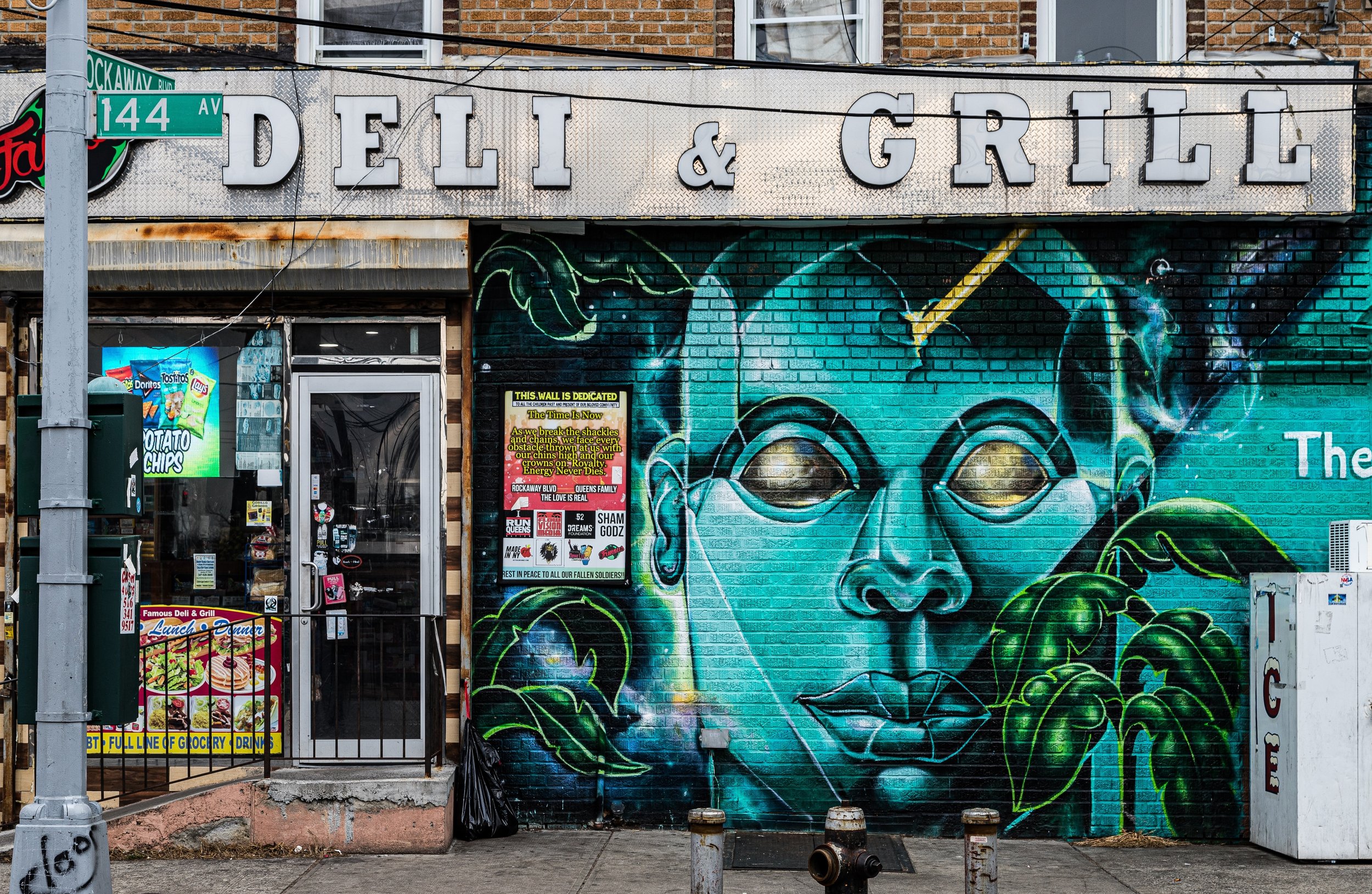
Queens
Geographic Setting
Bounded by Farmers Boulevard to the west, the Nassau Expressway to the south, the JFK Expressway to the east, and the Belt Parkway to the north, Brookville occupies the southeastern corner of Queens—a low-lying, tree-shaded residential enclave situated between Springfield Gardens and the runways of John F. Kennedy International Airport. The neighborhood’s geography reflects its dual identity: on one side, quiet suburban-style streets and modest homes; on the other, the hum of expressways and jet engines from one of the world’s busiest airports.
Within these borders, Brookville Boulevard—a curving, historic road that predates the borough’s grid—serves as the area’s spine, threading north–south through wetlands and residential blocks. The neighborhood’s interior consists primarily of detached single-family houses, many built between the 1930s and 1960s, surrounded by gardens and tree canopies. The presence of the Head of Bay, Hook Creek, and Springfield Park defines the region’s natural texture, with marshes and waterways forming the last remnants of Jamaica Bay’s once-vast tidal ecosystem. The Laurelton LIRR Station, just northwest of Brookville, and the proximity of the Belt Parkway provide essential links to the rest of Queens, Brooklyn, and Nassau County.
Etymology and Origins
The name “Brookville” is descriptive in the most literal sense—derived from the creeks and small streams (brooks) that historically crisscrossed the area before development. During the colonial and 19th-century periods, these waterways drained into Jamaica Bay, supporting farms, fisheries, and tidal mills. The region that became Brookville lay within the old Town of Jamaica, established by English settlers in the 1650s. For centuries, it remained largely rural—an expanse of meadows and marshlands used for grazing, hay cutting, and small-scale farming.
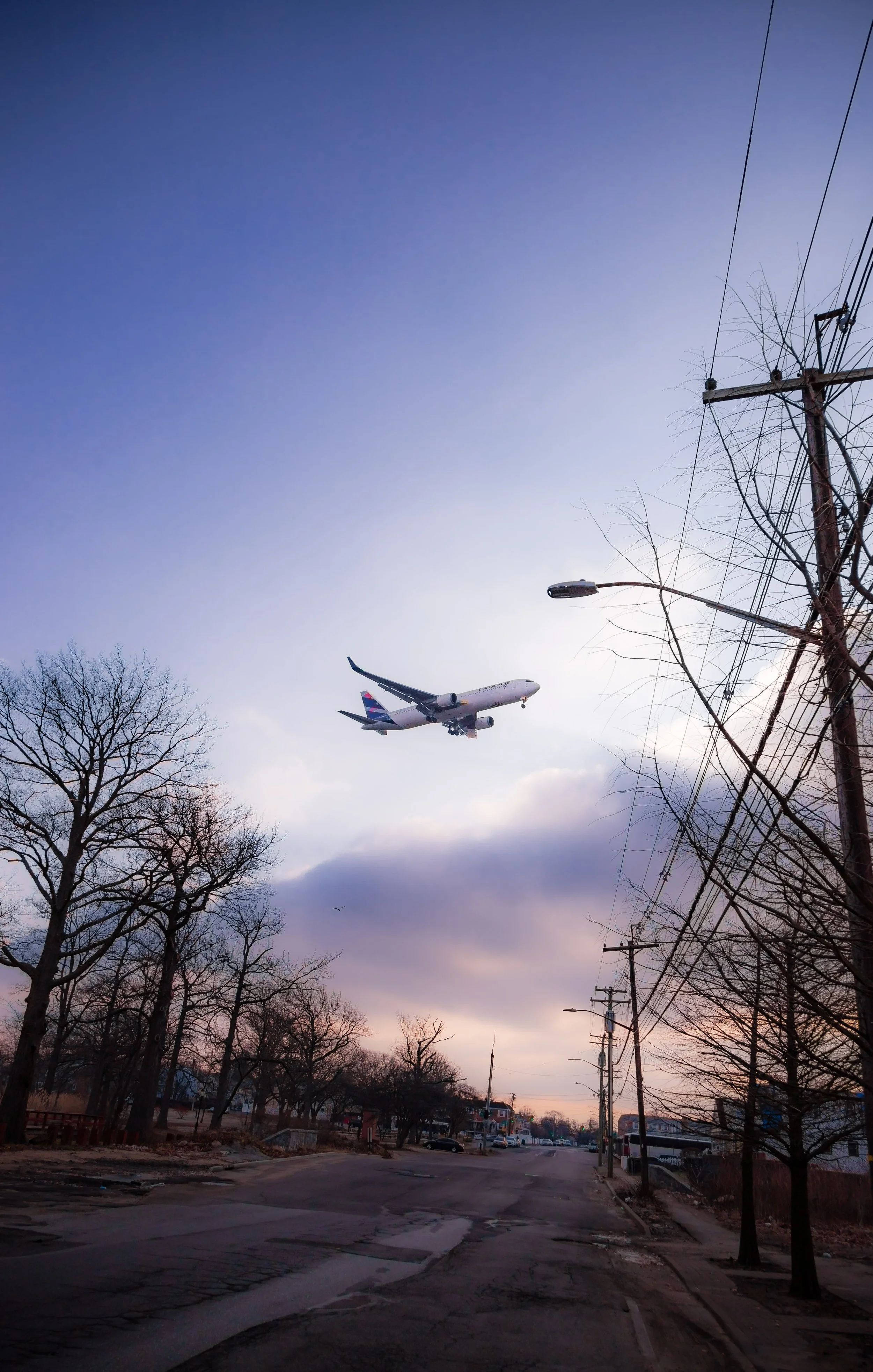
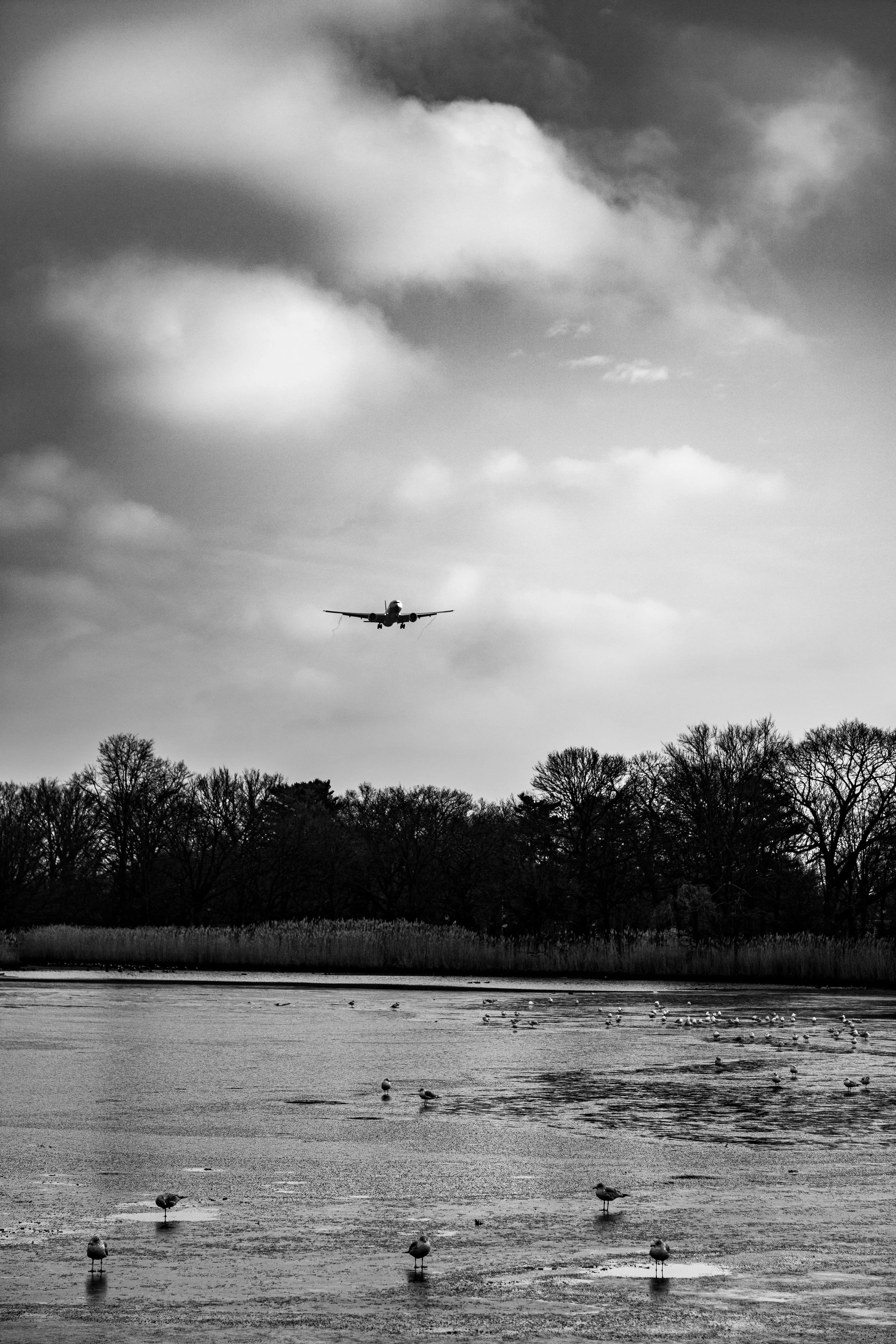
In the late 19th century, as Queens transformed through the extension of rail lines and the construction of new parkways, the area gradually shifted from farmland to semi-rural suburb. Its relative isolation, bounded by wetlands and watercourses, delayed dense urbanization until after World War II. When the city expanded the Belt Parkway and began construction of Idlewild Airport (later JFK) in the 1940s–1950s, Brookville’s southern edge was redefined by concrete and aviation. Yet even then, the community retained its quiet, residential identity—an island of calm at the fringe of metropolitan infrastructure.
The Neighborhood
Early–Mid 20th Century: Suburban Emergence
Brookville’s modern identity took shape during the interwar and postwar decades, when returning veterans and middle-class New Yorkers sought affordable homeownership within city limits. Developers subdivided the remaining farmland and built one- and two-story brick and frame houses along new residential streets such as 135th Avenue, Springfield Lane, and 145th Road. The layout favored modest plots and front lawns, reflecting the city’s larger suburban turn.
Throughout the 1940s and 1950s, Brookville’s population grew steadily. Its location near Idlewild Airport (opened 1948) offered both economic opportunity and environmental challenge: many residents worked at the airport or in nearby transportation industries, even as they adapted to the sound of aircraft overhead. The establishment of the Belt Parkway and Nassau Expressway connected the community to Long Island and Brooklyn, cementing its commuter accessibility. Churches, small groceries, and corner stores sprang up along Brookville Boulevard, serving a population proud of its relative seclusion from the dense cityscape to the north.
Late 20th Century: Demographic Shifts and Community Strength
By the 1970s and 1980s, Brookville had evolved into a predominantly African-American, middle-class neighborhood, part of the larger migration of families from Brooklyn and central Queens to southeastern sections of the borough. Its quiet streets and suburban housing stock appealed to professionals, educators, and civil servants seeking stability and space. This demographic continuity remains one of Brookville’s hallmarks—families who purchased homes in midcentury still form the backbone of the community today.
Civic life coalesced around churches such as St. Pius V Roman Catholic Church and local institutions tied to the Springfield Gardens Educational Campus, just beyond Brookville’s western edge. The community worked actively to maintain its residential character amid ongoing airport expansion. Noise abatement programs and environmental studies led to the installation of soundproofing in many homes and schools, while residents advocated for responsible urban planning that balanced infrastructure demands with neighborhood quality of life.
Brookville Photographic Video
21st Century: Environmental Stewardship and Local Identity
In the 2000s and 2010s, Brookville found itself at the nexus of two powerful urban trends: renewed investment in airport infrastructure and growing awareness of environmental preservation. Projects such as the Head of Bay Restoration Initiative and Hook Creek Wildlife Management Area have sought to rehabilitate the wetlands that border the neighborhood, providing flood control and biodiversity while reconnecting the community to its natural origins. The reforestation and expansion of nearby Springfield Park and the creation of new green buffers along the Belt Parkway have further enhanced its ecological resilience.
The area’s housing stock remains largely single-family, with occasional new construction reflecting contemporary suburban design. The demographic fabric has become more diverse, with Caribbean-American, African-American, and West African families comprising much of the population, joined by smaller numbers of South Asian and Hispanic households. Despite its proximity to JFK, Brookville remains a remarkably stable residential enclave—quiet, cohesive, and deeply tied to local identity.
Brookville Photo Gallery
Spirit and Legacy
Brookville’s legacy is one of endurance on the city’s edge—a neighborhood that has weathered waves of infrastructure and urbanization while preserving its human scale and green spirit. Its name, born of streams and wetlands, still resonates in the soft sound of wind through trees and the glimpses of water glinting beyond the Belt Parkway.
New York City
Use this custom Google map to explore where every neighborhood in all five boroughs of New York City is located.
The Five Boroughs
One of New York City’s unique qualities is its organization in to 5 boroughs: Manhattan, Brooklyn, Queens, The Bronx, and Staten Island. These boroughs are part pragmatic administrative districts, and part vestiges of the region’s past. Each borough is an entire county in New York State - in fact, Brooklyn is, officially, Kings County, while Staten Island is, officially Richmond County. But that’s not the whole story …
Initially, New York City was located on the southern tip of Manhattan (now the Financial District) that was once the Dutch colony of New Amsterdam. Across the East River, another city was rising: Brooklyn. In time, the city planners realized that unification between the rapidly rising cities would create commercial and industrial opportunities - through streamlined administration of the region.
So powerful was the pull of unification between New York and Brooklyn that three more counties were pulled into the unification: The Bronx, Queens, and Staten Island. And on January 1, 1898, the City of New York unified two cities and three counties into one Greater City of New York - containing the five boroughs we know today.
But because each borough developed differently and distinctly until unification, their neighborhoods likewise uniquely developed. Today, there are nearly 390 neighborhoods, each with their own histories, cultures, cuisines, and personalities - and each with residents who are fiercely proud of their corner of The Big Apple.


