NEPONSIT
Queens
Geographic Setting
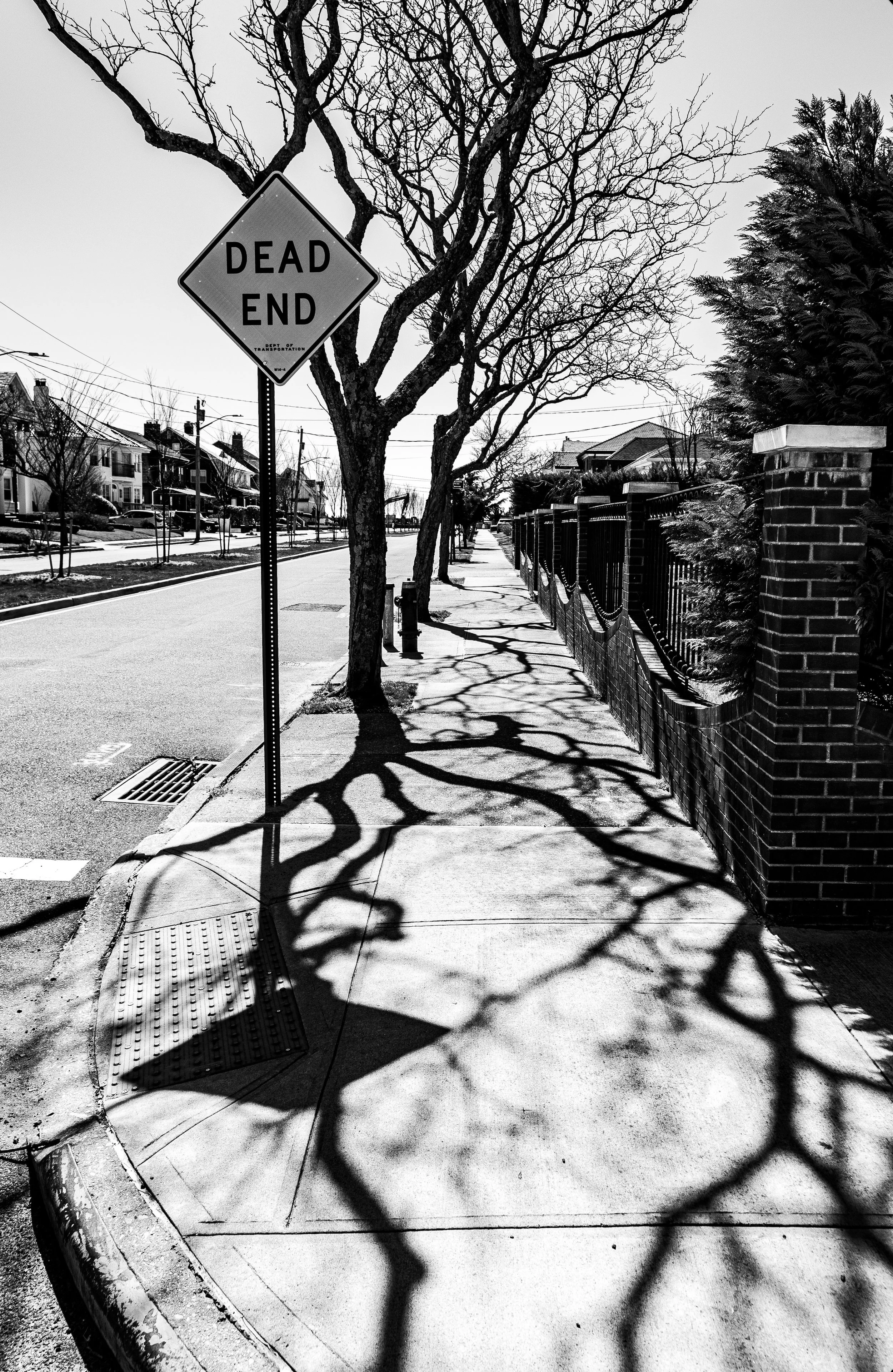
Set along the western shore of the Rockaway Peninsula, Neponsit occupies one of the most scenic and exclusive coastal stretches in New York City. It is bounded by Beach 142nd Street to the east, Beach 149th Street to the west, the Atlantic Ocean to the south, and Jacob Riis Park and Beach Channel Drive to the north. The neighborhood consists almost entirely of detached single-family homes laid out on a grid of wide, quiet streets lined with mature trees and ocean breezes.
The neighborhood’s southern edge opens directly onto Rockaway Beach, with a boardwalk offering uninterrupted ocean views, while its northern border abuts Jacob Riis Park, one of the largest public beaches in the city. From Beach 146th Street, where Neponsit’s modest commercial node once stood, the view stretches east toward the rest of the Rockaways and west toward Breezy Point. Despite its proximity to the Atlantic, Neponsit’s elevation and seawalls give it a sense of solidity and permanence—an island within an island.
Etymology and Origins
The name “Neponsit” is derived from an Algonquian word meaning “the place between waters,” an apt description for a peninsula bounded by Jamaica Bay and the Atlantic Ocean. The name was adopted in 1910 by the Neponsit Realty Company, which developed the area as a planned seaside community for affluent New Yorkers. Its founders envisioned a residential park modeled after Long Island’s Gold Coast suburbs—an exclusive enclave offering the beauty of the seashore within commuting distance of Manhattan.
Before its transformation, the land had been largely undeveloped dunes and marshes, used seasonally by fishermen and vacationers. The construction of the Rockaway Beach Branch of the Long Island Rail Road and the extension of Rockaway Beach Boulevard in the early 20th century made year-round residence feasible, ushering in an era of ambitious seaside development.
The Neighborhood
Early 20th Century: A Planned Seaside Community
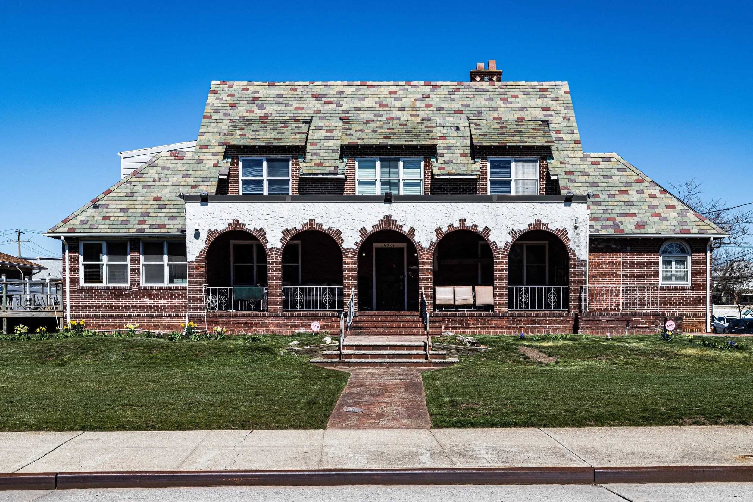
Development of Neponsit began in 1910 with the sale of large oceanfront lots restricted to single-family homes. Deed covenants prohibited commercial enterprises, apartment houses, or boardinghouses, ensuring that the neighborhood retained a purely residential character. The Neponsit Realty Company installed modern infrastructure—paved streets, sewers, and electric lighting—before building even began.
Architecturally, early Neponsit reflected the prevailing suburban and resort styles of the era: Mediterranean Revival, Dutch Colonial, and Tudor Revival homes, many designed by architects such as Henry Hohauser and J.S. Hedges. Broad lawns, stucco facades, tile roofs, and wraparound porches created a harmonious, sun-washed aesthetic. Advertisements promised “country living by the sea,” and early residents included doctors, lawyers, and merchants who commuted to Manhattan via the LIRR or ferry.
The neighborhood’s exclusivity was reinforced by the Neponsit Property Owners Association, founded in 1911, which continues to oversee community matters. In the 1920s, Neponsit gained its own landmark institution: the Neponsit Beach Hospital (opened 1915), originally a children’s tuberculosis sanatorium overlooking the ocean, later serving as a general hospital and rehabilitation facility until its closure in 1998.
Mid-20th Century: Prosperity and Preservation
By the 1930s, Neponsit had achieved the elegant suburban atmosphere its founders envisioned. Neighboring areas like Belle Harbor and Rockaway Park developed more densely, but Neponsit’s zoning restrictions maintained its low-rise, private character. The opening of Jacob Riis Park in 1937, designed by Robert Moses, brought a surge of visitors to the adjacent beach, yet Neponsit’s residential streets remained insulated from tourism by controlled access points.
The Rockaway Boardwalk, completed in the same year, extended along Neponsit’s shore, offering scenic walks and recreational access while preserving the area’s tranquility. During the postwar housing boom, new homes replaced a handful of the older wood-frame cottages, but the character of the neighborhood remained consistent—gracious, quiet, and resolutely residential.
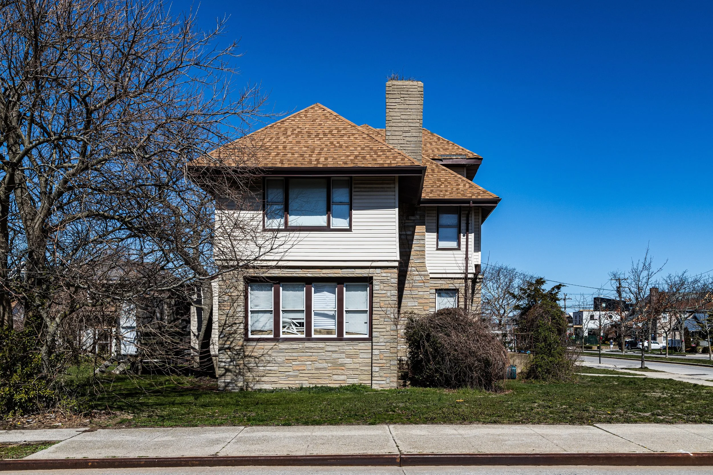
Houses built in the 1940s and 1950s reflected changing tastes: more ranch-style and split-level designs joined the earlier revival styles, but all adhered to strict lot sizes and setbacks. The Neponsit Property Owners Association and the Community Board 14 worked actively to resist rezoning or commercial encroachment. Churches such as St. Francis de Sales, just east in Belle Harbor, served as religious and social hubs for Neponsit residents.
Neponsit Video Coming Soon
Late 20th Century: Renewal and Resilience
Throughout the late 20th century, Neponsit continued to symbolize upper-middle-class stability on the Rockaway Peninsula. Generations of families maintained homes here, drawn by the sea air, private gardens, and relative seclusion. The closure of the Neponsit Hospital in 1998 led to debate over the site’s future, but community opposition prevented large-scale redevelopment; the property remains under city ownership, surrounded by protective dunes and fencing.
Hurricanes and nor’easters periodically tested Neponsit’s fortitude, none more so than Hurricane Sandy (2012), which flooded the peninsula and severely damaged many oceanfront homes. Yet the community’s rapid recovery—through homeowner reinvestment, FEMA support, and civic coordination—demonstrated its resilience. Rebuilding efforts focused on storm-resistant design: elevated foundations, reinforced seawalls, and dune restoration projects that now define the modern shoreline.
21st Century: Coastal Elegance and Enduring Privacy
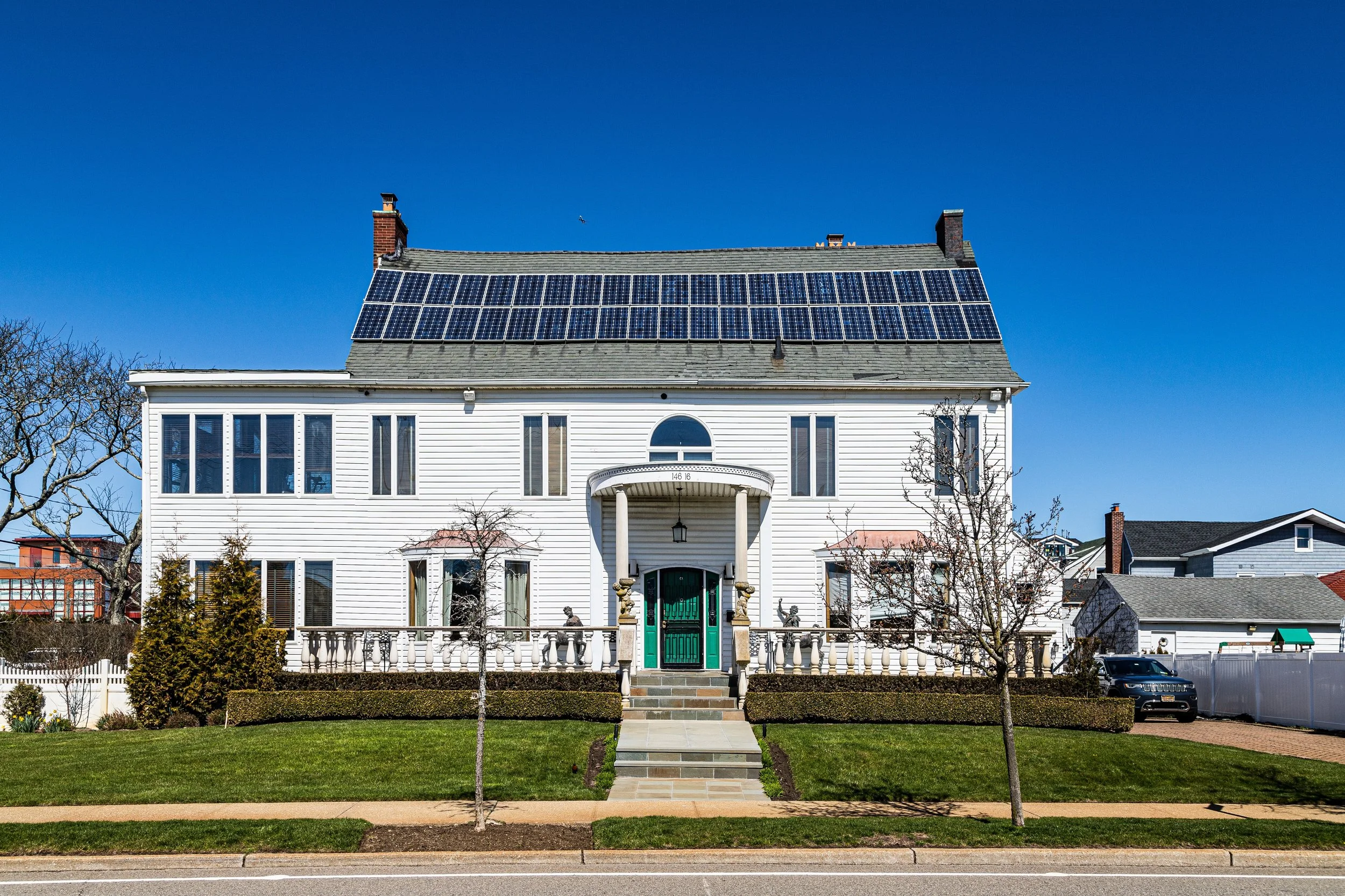
Today, Neponsit remains one of New York City’s most exclusive residential enclaves. Strict zoning and the absence of multifamily buildings preserve its low-density charm. Large contemporary homes, some newly constructed in limestone and glass, now stand beside restored Mediterranean villas from the 1920s. Lawns are immaculately kept, streets are quiet, and the Atlantic horizon remains visible from many doorsteps.
The proximity of Jacob Riis Park and Fort Tilden, now part of the Gateway National Recreation Area, enhances the area’s natural beauty and sense of open space. Despite being technically part of New York City, Neponsit functions much like a small coastal village—one with deep civic roots and a shared ethos of preservation. Its residents remain fiercely protective of their environment, supporting dune maintenance, beach nourishment, and architectural guidelines that honor the neighborhood’s historic design harmony.
Neponsit Photo Gallery
Spirit and Legacy
Neponsit stands as the serene apex of the Rockaways—a community where the ambition of early 20th-century planners to create a seaside suburb of refinement has been not only realized but sustained for more than a century. Its streets, lined with flowering trees and ocean views, evoke the quiet luxury of another era, while its resilience through storms testifies to the enduring strength of place and people.
New York City
Use this custom Google map to explore where every neighborhood in all five boroughs of New York City is located.
The Five Boroughs
One of New York City’s unique qualities is its organization in to 5 boroughs: Manhattan, Brooklyn, Queens, The Bronx, and Staten Island. These boroughs are part pragmatic administrative districts, and part vestiges of the region’s past. Each borough is an entire county in New York State - in fact, Brooklyn is, officially, Kings County, while Staten Island is, officially Richmond County. But that’s not the whole story …
Initially, New York City was located on the southern tip of Manhattan (now the Financial District) that was once the Dutch colony of New Amsterdam. Across the East River, another city was rising: Brooklyn. In time, the city planners realized that unification between the rapidly rising cities would create commercial and industrial opportunities - through streamlined administration of the region.
So powerful was the pull of unification between New York and Brooklyn that three more counties were pulled into the unification: The Bronx, Queens, and Staten Island. And on January 1, 1898, the City of New York unified two cities and three counties into one Greater City of New York - containing the five boroughs we know today.
But because each borough developed differently and distinctly until unification, their neighborhoods likewise uniquely developed. Today, there are nearly 390 neighborhoods, each with their own histories, cultures, cuisines, and personalities - and each with residents who are fiercely proud of their corner of The Big Apple.


