EMERSON HILL
Staten Island
Geographic Setting
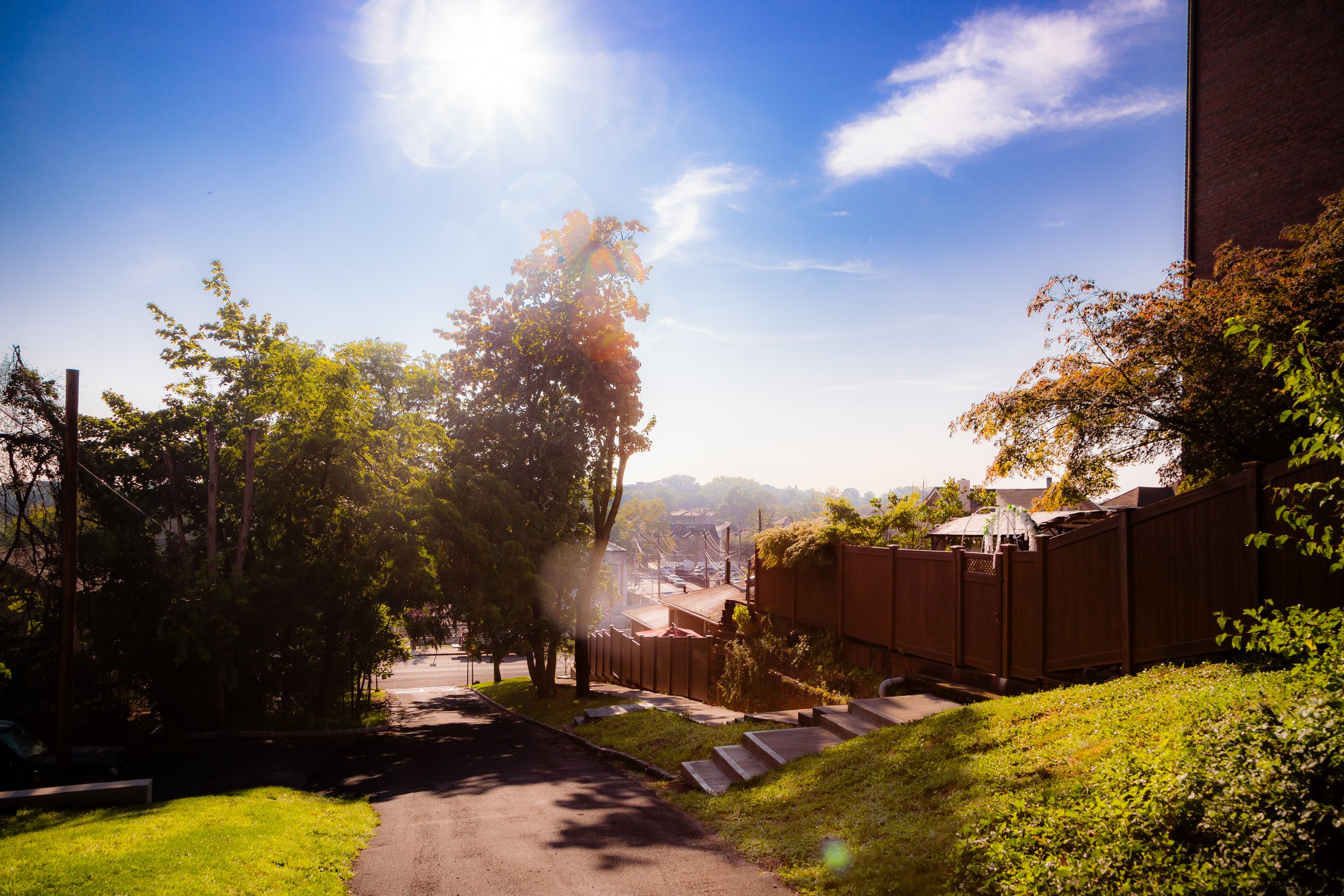
Bounded by the Staten Island Expressway to the north, Richmond Road to the east, Medford and Rome Avenues to the south, and Ocean Terrace to the west, Emerson Hill occupies one of Staten Island’s most distinguished natural elevations. Rising above the valleys of Concord and Dongan Hills, it is a secluded, wooded enclave of winding roads, stately homes, and commanding views of the Verrazzano-Narrows Bridge, New York Harbor, and the Lower Bay. Its terrain—steep, irregular, and forested—forms part of the island’s central moraine, descending eastward toward the lowlands along Richmond Road and northward to the expressway that skirts its base.
Despite its proximity to major thoroughfares, Emerson Hill feels worlds apart: a landscape of curving drives, stone gates, and shaded glens where the city’s noise fades into birdsong and the rustle of leaves. The area’s combination of topographical drama and architectural grace has long made it one of Staten Island’s most exclusive residential districts, comparable in tone to Todt Hill and Grymes Hill but more intimate in scale.
Etymology
The name Emerson Hill honors Judge William Emerson, elder brother of the transcendentalist philosopher Ralph Waldo Emerson, who settled here in the mid-19th century. William Emerson purchased the wooded hilltop estate in the 1840s and built a large home overlooking the eastern shore, where he lived with his family. His celebrated brother visited often, as did other literary figures of the period, turning the property into a small intellectual retreat within reach of New York City. The Emerson family’s influence was lasting—after William’s death, his home and surrounding lands became a touchstone of cultural memory and lent their name to the hill itself.
By the early 20th century, “Emerson Hill” was well established as both a toponym and a symbol of refinement—an address synonymous with elegance, privacy, and the arts.
The Neighborhood
Origins through the 19th Century
In the colonial and early American eras, the slopes of Emerson Hill were part of the rural hinterland of Southfield Township, composed of woodlots, small farms, and wagon paths running between Richmond Road and Todt Hill. The steep terrain discouraged dense settlement, leaving the area largely forested until the mid-1800s, when William Emerson’s arrival transformed it into a private estate.
The Emerson property became one of Staten Island’s earliest cultivated hilltop retreats. The judge’s residence—constructed in the Greek Revival style and surrounded by terraced gardens—reflected both affluence and aesthetic taste. Visitors from Manhattan praised the panoramic views of the Narrows and the tranquil seclusion of the wooded ridges. The family’s presence attracted other professional and artistic figures to the surrounding area, gradually turning what had been wilderness into a nascent enclave of country homes.
By the late 19th century, carriage roads linked the hilltop to Richmond Road below, and the vicinity of Concord and Old Town began to fill with middle-class commuters using the Staten Island Railway. Yet Emerson Hill itself remained sparsely populated, defined by its estates and its natural grandeur.
Early 20th Century: From Estate to Enclave
The early 1900s marked the transformation of Emerson Hill from private estate to planned residential district. Developers, inspired by the success of nearby Grymes Hill and Todt Hill, subdivided large tracts into spacious lots while preserving the wooded character of the land. The resulting community retained its exclusivity: winding lanes replaced the old carriage roads, and architectural styles favored the picturesque and the classical—Tudor manors, Georgian revivals, and stone cottages designed to complement the hillside terrain.
Notable among these was the 1920s Emerson Hill Gate, an elegant stone archway built along the entrance at Douglas Road, symbolizing both the neighborhood’s unity and its prestige. The area attracted Staten Island’s professional elite—judges, physicians, business owners, and artists—who valued its combination of beauty and privacy. Despite its suburbanization, Emerson Hill remained low in density, with homes carefully sited amid gardens and trees.
The neighborhood’s serene atmosphere also lent itself to cultural associations: its scenic roads and romantic architecture later served as film locations, most famously in The Godfather (1972), which used a local mansion as the Corleone family’s residence.
Emerson Hill Video Coming Soon
Mid–Late 20th Century: Stability on the Hill
The postwar decades brought tremendous change to Staten Island, but Emerson Hill largely resisted the forces of mass suburbanization that transformed much of the borough. The construction of the Staten Island Expressway (1964) created a physical border along the neighborhood’s northern base, improving access while reinforcing its isolation from surrounding areas. The Verrazzano-Narrows Bridge, completed that same year, connected Staten Island to Brooklyn and introduced new commuter populations, yet Emerson Hill’s zoning protections and difficult terrain preserved its low-density, estate-like fabric.
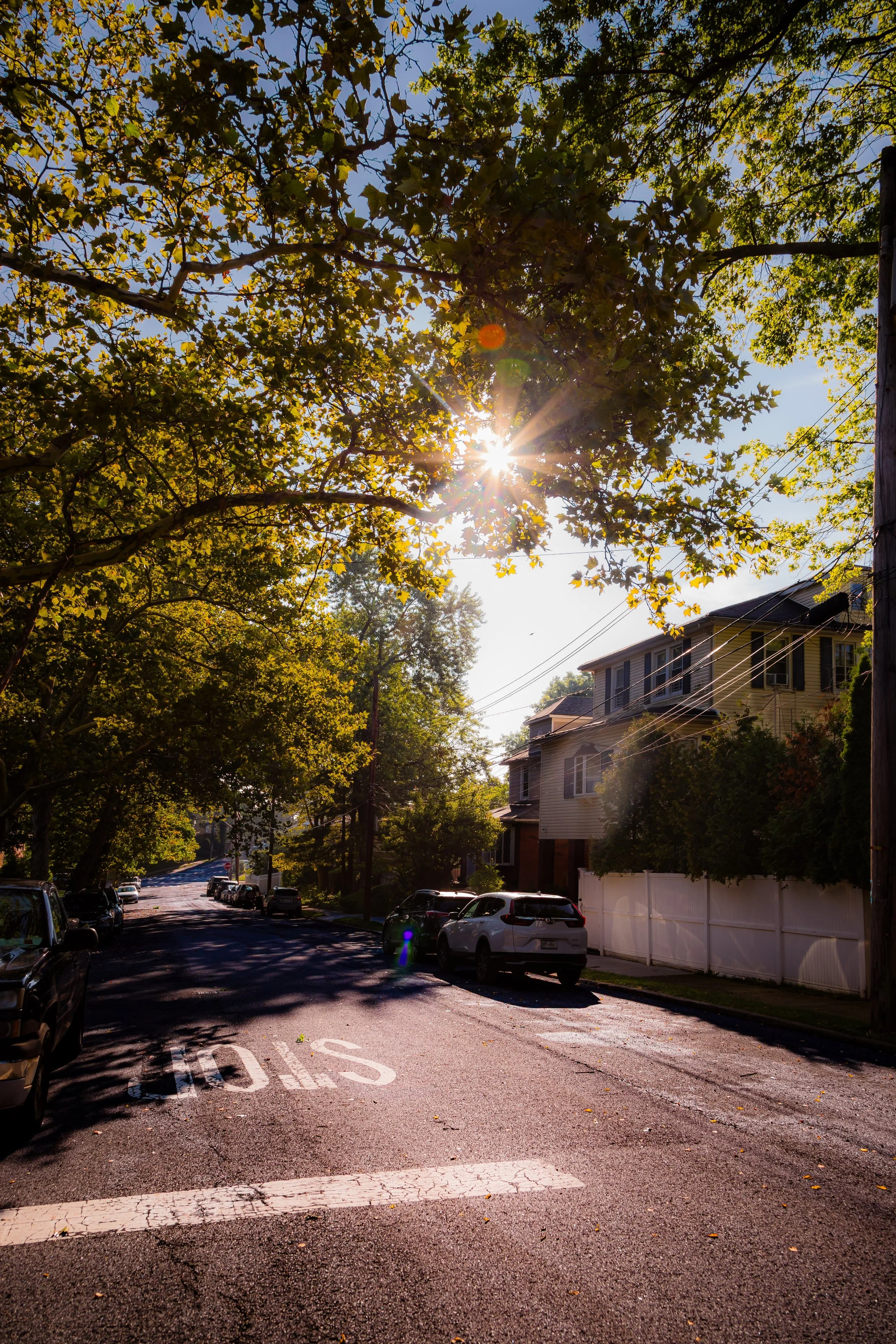
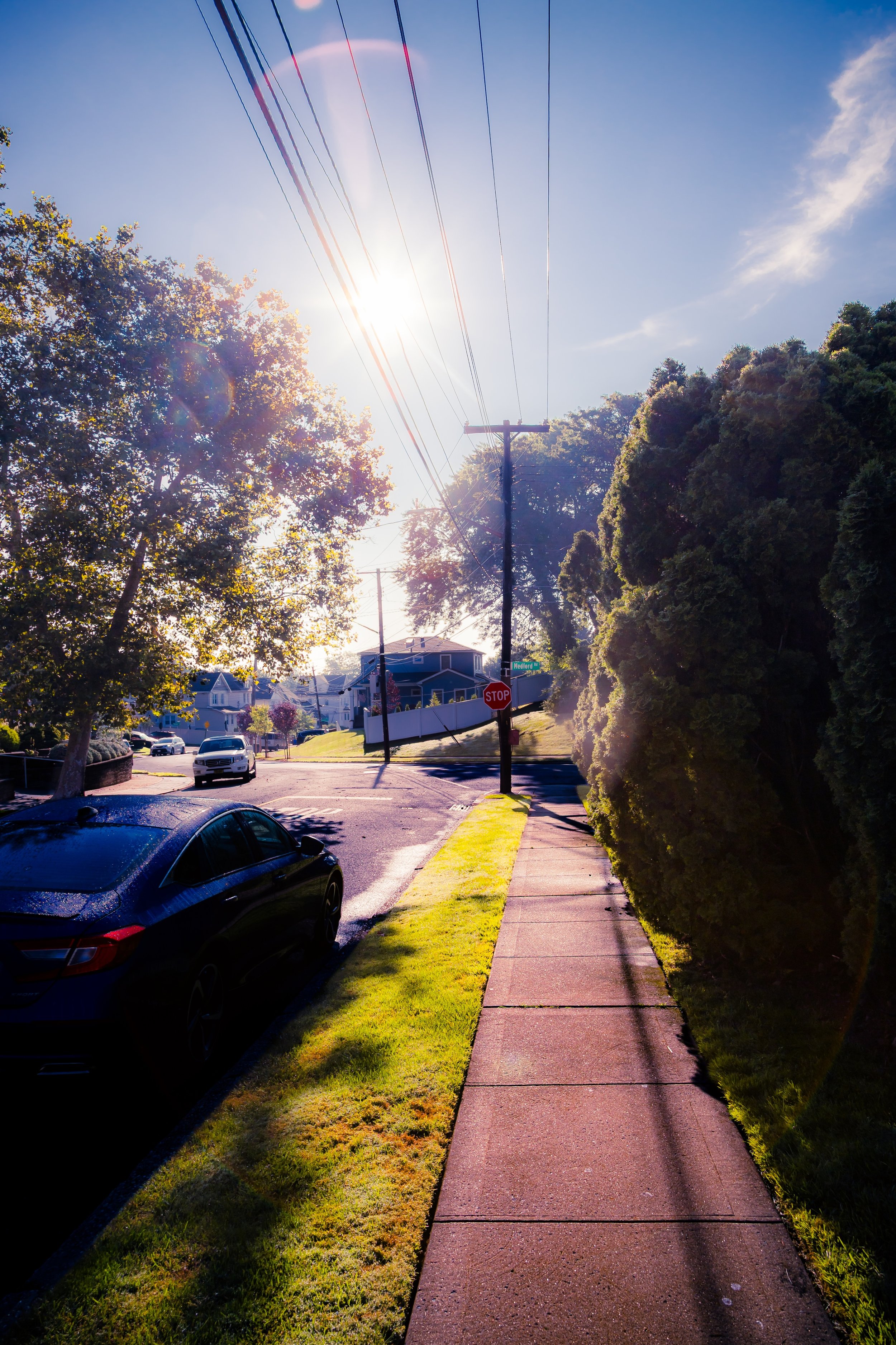
Through the 1950s and 1960s, a few modern homes joined the older structures, but the neighborhood’s architectural integrity remained intact. Families of long standing passed homes down through generations, maintaining manicured gardens and woodland buffers that enhanced the area’s sense of continuity. Civic associations advocated successfully for tree preservation and controlled development, ensuring that Emerson Hill’s streets—Douglas Road, Tanglewood Drive, and Longfellow Avenue among them—retained their curving, secluded character.
By the 1970s, Emerson Hill had become synonymous with stability: a quiet refuge for professionals and civic leaders amid a borough in flux.
21st Century: Heritage and Renewal
In the 21st century, Emerson Hill remains one of Staten Island’s most prestigious addresses, combining historic character with modern affluence. The neighborhood’s elevated setting offers some of the most dramatic vistas in New York City, and its proximity to both the Staten Island Expressway and Richmond Road keeps it connected to the cultural and economic centers of the borough. Restoration and careful renovation of older homes have become a hallmark of the community, with many properties listed or eligible for designation within local historic registers.
The area’s natural surroundings—bordering Reeds Basket Willow Swamp Park and the Greenbelt—reinforce its environmental importance. Residents actively support conservation and parkland initiatives, aware that the woodlands and steep slopes are vital to Staten Island’s ecology. New landscaping and infrastructure upgrades have balanced modern convenience with the preservation of its sylvan identity.
Demographically, Emerson Hill has grown more diverse while retaining its reputation for quiet prestige. Its winding drives, stone walls, and panoramic lookouts continue to attract those seeking beauty and privacy without distance from the city. On a misty morning, when fog drifts through the ravines and the faint sound of the expressway echoes below, Emerson Hill still feels like an elevated world apart—a remnant of the 19th-century vision that gave it life.
Emerson Hill Photo Gallery
Spirit and Legacy
The spirit of Emerson Hill lies in its union of nature, intellect, and heritage. Named for a family that embodied reflection and refinement, the neighborhood continues to mirror those ideals in its architecture and landscape. It represents the rare intersection of wilderness and civilization—a place where winding drives recall pastoral England, and where centuries-old trees frame views of one of the world’s great harbors.

New York City
Use this custom Google map to explore where every neighborhood in all five boroughs of New York City is located.
The Five Boroughs
One of New York City’s unique qualities is its organization in to 5 boroughs: Manhattan, Brooklyn, Queens, The Bronx, and Staten Island. These boroughs are part pragmatic administrative districts, and part vestiges of the region’s past. Each borough is an entire county in New York State - in fact, Brooklyn is, officially, Kings County, while Staten Island is, officially Richmond County. But that’s not the whole story …
Initially, New York City was located on the southern tip of Manhattan (now the Financial District) that was once the Dutch colony of New Amsterdam. Across the East River, another city was rising: Brooklyn. In time, the city planners realized that unification between the rapidly rising cities would create commercial and industrial opportunities - through streamlined administration of the region.
So powerful was the pull of unification between New York and Brooklyn that three more counties were pulled into the unification: The Bronx, Queens, and Staten Island. And on January 1, 1898, the City of New York unified two cities and three counties into one Greater City of New York - containing the five boroughs we know today.
But because each borough developed differently and distinctly until unification, their neighborhoods likewise uniquely developed. Today, there are nearly 390 neighborhoods, each with their own histories, cultures, cuisines, and personalities - and each with residents who are fiercely proud of their corner of The Big Apple.


