
HUGUENOT NORTH
Staten Island
Geographic Setting
Bounded by Drumgoole Road and the Korean War Veterans Parkway to the south, a western boundary running north along Marcy Avenue and Alverson Avenue, the West Shore Expressway to the north, and an eastern boundary following Huguenot Avenue south to Rosedale Avenue, east on Rosedale to Everton Avenue, southeast on Everton to Heenan Avenue, and south on Heenan back to Drumgoole, Huguenot North lies at the western edge of Staten Island’s South Shore—an area of tranquil residential streets, green corridors, and the transitional landscapes that bridge the suburban heartland and the wooded buffer of Staten Island’s interior.
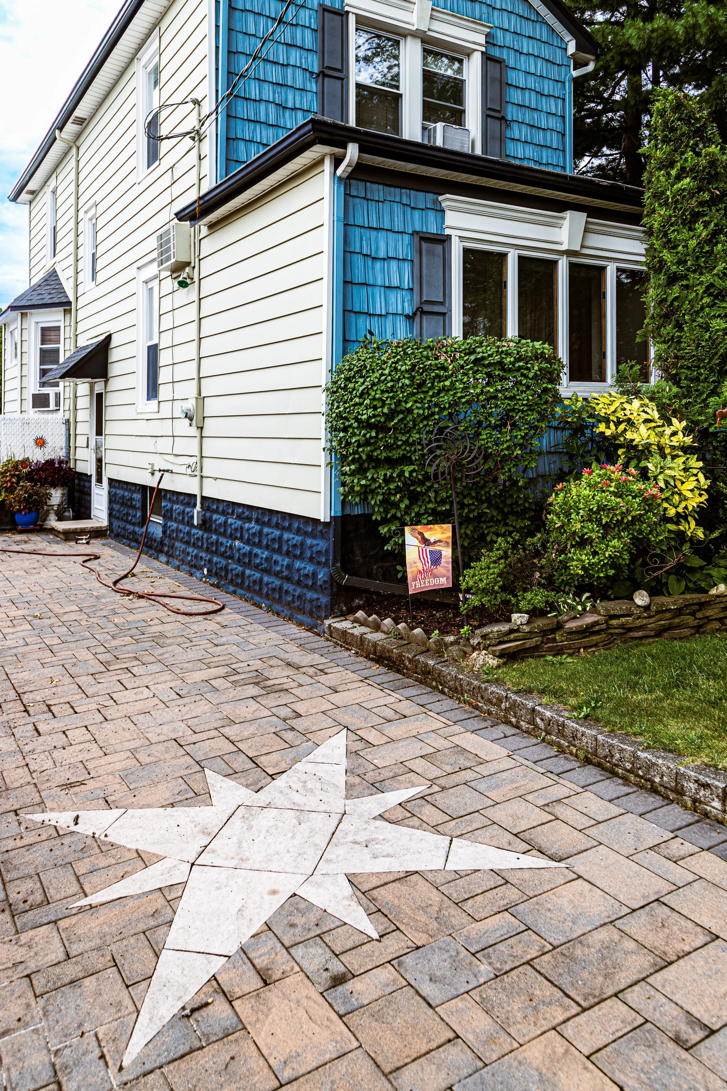
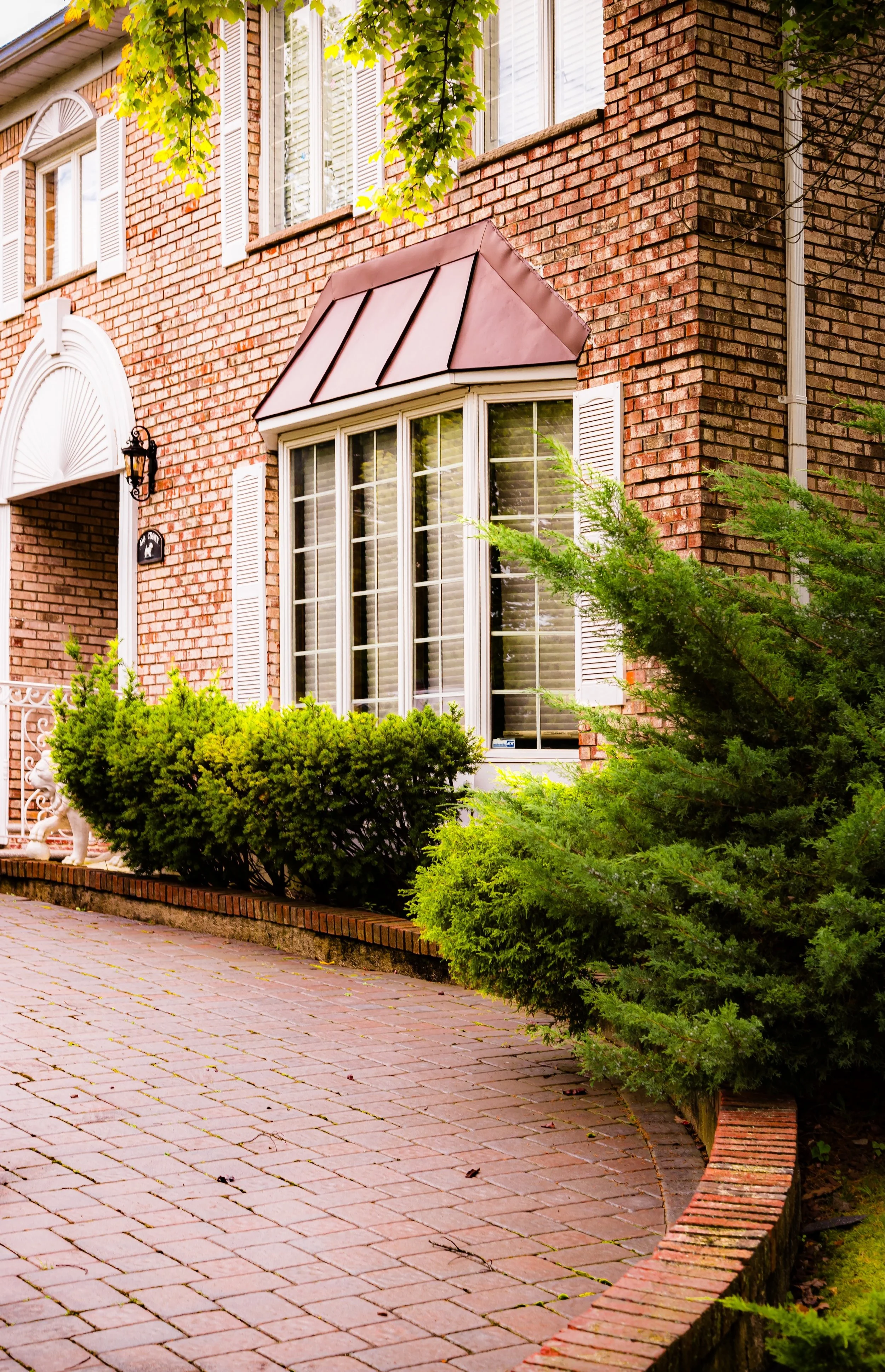
This section of Huguenot is set apart from the shoreline neighborhoods that share its name, distinguished by its inland elevation, its proximity to the Arden Heights Woods and Bloomingdale Park, and the presence of broad, tree-lined streets that trace the contours of former farmland. It forms a quiet yet well-connected enclave: bordered by major parkways and expressways, yet threaded through with local lanes—Rosedale, Heenan, Alverson, and Huguenot Avenue—that preserve a distinctly residential rhythm. The area’s mix of single-family homes, schools, and neighborhood parks exemplifies Staten Island’s transformation into a suburban borough where nature and planned development coexist in measured balance.
Etymology
The name Huguenot North reflects both continuity and geography—an extension of Huguenot, the larger South Shore neighborhood named for the French Huguenot refugees who settled on Staten Island in the late 17th and early 18th centuries. These Protestant settlers, fleeing religious persecution in France, found refuge on the island’s southern shores, establishing farms and small communities that left an enduring imprint on local toponymy.
The “North” designation distinguishes this inland section from the coastal portion of Huguenot, which borders the Raritan Bay. While the historic heart of Huguenot developed around its railway station and the shoreline, Huguenot North emerged later—its name evoking shared heritage while acknowledging its different landscape and urban form. The term underscores both connection and contrast: the same roots, transplanted slightly inland, where woods and parkland replaced tidal coves and shore roads.
The Neighborhood
Origins through the 19th Century
In the colonial and early American periods, the land now forming Huguenot North was part of the Town of Westfield, a broad agricultural district that extended from the Arthur Kill eastward toward the island’s midlands. The area’s fertile soils supported small farms, orchards, and dairies owned by families of Dutch, English, and Huguenot descent. Roads like Huguenot Avenue and Rosedale Avenue trace paths that began as farm lanes and property boundaries, linking inland homesteads to the larger thoroughfares of Richmond Valley Road and Arthur Kill Road.
Throughout the 19th century, the region remained predominantly rural, punctuated by woodlots and the occasional estate. The arrival of the Staten Island Railway in 1860 brought suburban potential to southern Staten Island, but development clustered primarily along the coastal line near Huguenot Station. Inland, this northern section remained quiet farmland, characterized by open fields, small family burial plots, and the occasional country lane winding toward the forested uplands that would later form the Staten Island Greenbelt.
Early 20th Century: From Farmland to Forested Suburb
In the early 1900s, the area that would become Huguenot North began to shift gradually from agricultural to residential use. Improved roads, better access to utilities, and the slow suburbanization of Staten Island’s South Shore brought modest development along Huguenot Avenue, while the interiors north of Drumgoole remained largely wooded. Local families subdivided their properties into residential plots during the interwar years, though the pace of construction was slow and the character remained semi-rural well into the 1940s.
Small churches and corner stores appeared near Huguenot Avenue, serving both inland and coastal residents. Meanwhile, the construction of the West Shore Expressway and later the Korean War Veterans Parkway reshaped the area’s periphery, transforming it from farmland to a network of modern roadways. Despite these changes, the core of Huguenot North retained its sylvan quality—quiet roads lined with oaks and maples, interspersed with open tracts that echoed its pastoral past.
Huguenot North Video Coming Soon
Mid–Late 20th Century: Suburban Growth and Green Preservation
The post–World War II era brought rapid transformation to Staten Island, and Huguenot North was no exception. The completion of the Verrazzano-Narrows Bridge (1964) and the West Shore Expressway made the South Shore easily accessible to commuters from Brooklyn and Manhattan, triggering a surge of residential development. Large portions of former farmland were subdivided into single-family lots, and new streets—Heenan, Everton, Alverson, and Marcy Avenue—were extended and paved to serve growing subdivisions.
Developers built split-levels, ranch-style homes, and Colonials typical of Staten Island’s 1960s–1980s suburban boom. Despite the expansion, the neighborhood retained a carefully planned layout: cul-de-sacs, green buffers, and parks helped preserve open space. The establishment of nearby Bloomingdale Park and Arden Heights Woods provided ecological and recreational continuity, while the wide corridors of the Korean War Veterans Parkway and West Shore Expressway framed the neighborhood in a ring of greenery and infrastructure.
By the late 20th century, Huguenot North had become a stable, family-oriented enclave—quiet, accessible, and distinctly suburban. Schools, churches, and small playgrounds anchored local life, while the surrounding woodlands reminded residents of the land’s enduring natural heritage.
21st Century: A Neighborhood Between Nature and Suburbia
In the 21st century, Huguenot North stands as a quintessential example of Staten Island’s balanced suburban development—an area where planned growth, preserved green space, and community institutions coexist. While new homes and small infill projects have appeared, the neighborhood has maintained its low density and wooded character. Its streets remain lined with mature trees, its sidewalks wide and calm, its layout defined by a sense of openness uncommon elsewhere in the city.
The nearby Arden Heights Woods Park, Bloomingdale Park, and Woodbrooke Estates wetlands form an ecological triad that defines the area’s identity as much as its housing stock. The community’s residents, many of whom are second- or third-generation Staten Islanders, have fostered a culture of stewardship and local pride—participating in civic associations, school activities, and environmental projects that maintain both livability and landscape.
Huguenot North’s geography also positions it at a crossroads between tranquility and connectivity. The West Shore Expressway provides efficient access to employment centers across the region, while local arteries like Huguenot Avenue and Arthur Kill Road preserve the neighborhood’s intimate, small-town scale. As Staten Island’s population continues to grow, Huguenot North remains a model of measured, sustainable suburban life.
Huguenot North Photo Gallery
Spirit and Legacy
The spirit of Huguenot North lies in its balance—between heritage and progress, between forest and family, between isolation and connection. It is a place where the rhythms of suburban life unfold beneath the shade of old trees, where the sounds of children and birds mix with the distant hum of parkways, and where modern homes rest on land once plowed by early settlers seeking freedom and stability.
Its legacy is one of quiet continuity. While much of Staten Island has transformed around it, Huguenot North has preserved the harmony envisioned by its planners and inherited from its landscape. It stands as a living bridge between the South Shore’s historic past and its suburban present—a neighborhood that honors its Huguenot name not through age, but through the endurance of its ideals: refuge, community, and peace.

New York City
Use this custom Google map to explore where every neighborhood in all five boroughs of New York City is located.
The Five Boroughs
One of New York City’s unique qualities is its organization in to 5 boroughs: Manhattan, Brooklyn, Queens, The Bronx, and Staten Island. These boroughs are part pragmatic administrative districts, and part vestiges of the region’s past. Each borough is an entire county in New York State - in fact, Brooklyn is, officially, Kings County, while Staten Island is, officially Richmond County. But that’s not the whole story …
Initially, New York City was located on the southern tip of Manhattan (now the Financial District) that was once the Dutch colony of New Amsterdam. Across the East River, another city was rising: Brooklyn. In time, the city planners realized that unification between the rapidly rising cities would create commercial and industrial opportunities - through streamlined administration of the region.
So powerful was the pull of unification between New York and Brooklyn that three more counties were pulled into the unification: The Bronx, Queens, and Staten Island. And on January 1, 1898, the City of New York unified two cities and three counties into one Greater City of New York - containing the five boroughs we know today.
But because each borough developed differently and distinctly until unification, their neighborhoods likewise uniquely developed. Today, there are nearly 390 neighborhoods, each with their own histories, cultures, cuisines, and personalities - and each with residents who are fiercely proud of their corner of The Big Apple.


