WILLOWBROOK
Staten Island
Geographic Setting
Bounded by Ashworth Avenue and Latourette Park to the south, Richmond Avenue to the west, Victory Boulevard to the northwest, the Staten Island Expressway to the north, Bradley Avenue to the east, and Brielle Avenue to the southeast, Willowbrook occupies a broad, gently rolling plateau at the geographic center of Staten Island. Surrounded by major arteries yet defined by expanses of greenery, it sits between Westerleigh to the north, Heartland Village to the southwest, and the wooded hills of LaTourette Park and the Greenbelt to the southeast.
The neighborhood’s name is literal and descriptive: a landscape once dominated by low meadows and willow-lined brooks that drained into the island’s central wetlands. Today, Willowbrook is characterized by a mix of suburban homes, parkland, medical and educational institutions, and traces of its agrarian past. Its broad streets, open spaces, and proximity to Willowbrook Park—one of Staten Island’s most beloved public parks—give it a tranquil, almost pastoral atmosphere amid the dense web of roads that encircle it.
Etymology
The name Willowbrook derives from the natural features that once defined the area: the abundance of willow trees growing along the small creeks and streams that meandered through its low-lying meadows. These brooks, which fed into the island’s central wetlands, were a defining feature of Staten Island’s midsection, inspiring both the neighborhood’s and later the park’s name.
Though the name evokes serenity, it also carries complex historical associations. The term “Willowbrook” became nationally known in the 20th century due to the Willowbrook State School, a large state-run institution once located here—an episode that profoundly shaped both the neighborhood’s history and the broader conversation about disability rights in America.
The Neighborhood
Origins through the 19th Century: From Farmland to Woodland Hamlet
Before suburban development, the land now known as Willowbrook was a landscape of farms, woodlands, and open fields within Staten Island’s interior. During the 18th and 19th centuries, it was part of the township of Castleton, a rural area centered around Richmond Road and Victory Boulevard. The fertile soil supported small-scale agriculture—particularly dairy farming and market gardening—which supplied produce to the island’s northern villages and to Manhattan via ferry.
Victory Boulevard, then known as the Richmond Turnpike, served as a key east–west route for farmers transporting goods between Richmondtown and the island’s western shore. The surrounding countryside was sparsely settled, dotted with farmhouses, mills, and orchards. Streams and low wetlands were common, and the gentle topography provided both fertile cropland and scenic vistas. The early name Willow Brook appeared on maps by the mid-19th century, referring to the natural watercourses that would later define the neighborhood and its park.
For much of this period, the area remained pastoral and relatively isolated, with few roads beyond Victory Boulevard and scattered farm lanes. It was the kind of landscape that would later inspire suburban planners and conservationists alike—a balance of open field and wooded ridge.
Early 20th Century: Institutional Landscape and Agricultural Continuity
Through the early decades of the 20th century, Willowbrook retained its rural identity even as development advanced elsewhere on Staten Island. Its central location, however, soon drew the attention of civic planners. In the 1930s, the City of New York acquired large tracts of land for institutional and recreational purposes, envisioning the island’s midsection as a “green core” surrounded by suburban growth.
One of the most consequential developments came in 1942, when the state began construction on the Willowbrook State School, a sprawling residential institution for people with intellectual and developmental disabilities. Built on over 375 acres of former farmland and forest, the complex opened in 1947 and soon became one of the largest of its kind in the nation. Designed as a self-contained campus with dormitories, medical facilities, and workshops, it was intended as a model of compassionate care. However, chronic underfunding and overcrowding soon turned the institution into a site of neglect and tragedy—its name becoming synonymous with the darker side of 20th-century social policy.
While the school dominated public awareness, the surrounding community retained its quieter rhythm. Modest homes appeared along Victory Boulevard and Bradley Avenue, but much of Willowbrook remained open land, forest, and field well into the mid-century. The area’s isolation from commercial centers helped preserve its semi-rural feel.
Willowbrook Video Coming Soon
Mid–Late 20th Century: Scandal, Reform, and Renewal
The most pivotal moment in Willowbrook’s modern history came in 1972, when journalist Geraldo Rivera exposed appalling conditions at the Willowbrook State School in a groundbreaking television report. His investigation revealed severe overcrowding, neglect, and inhumane treatment of residents, sparking national outrage and a major shift in public policy toward institutional care. The ensuing class-action lawsuit, Willowbrook v. Quern, led to the closure of the school in 1987 and laid the foundation for modern disability rights and community-based care in the United States.
The closure of the school opened a vast tract of land for new uses. Much of it was converted into Willowbrook Park, part of the larger Staten Island Greenbelt system—a 2,800-acre network of parks, trails, and natural preserves that now forms the island’s ecological heart. Other sections became home to The College of Staten Island (CSI), which relocated to the former state school grounds in 1993. The transformation of this site from an institution of confinement to a center of learning stands as one of the most dramatic and symbolic reinventions in New York City’s history.
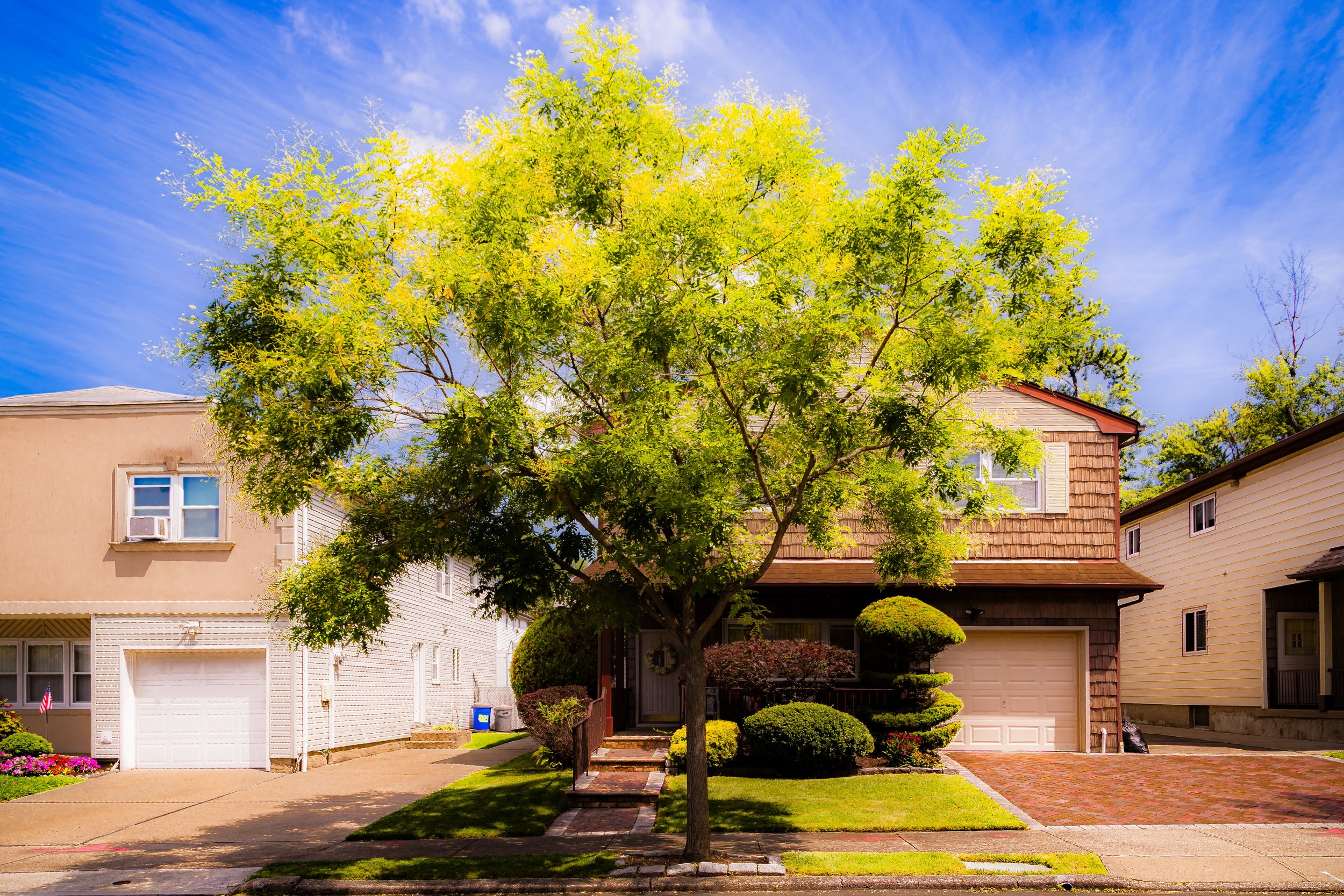
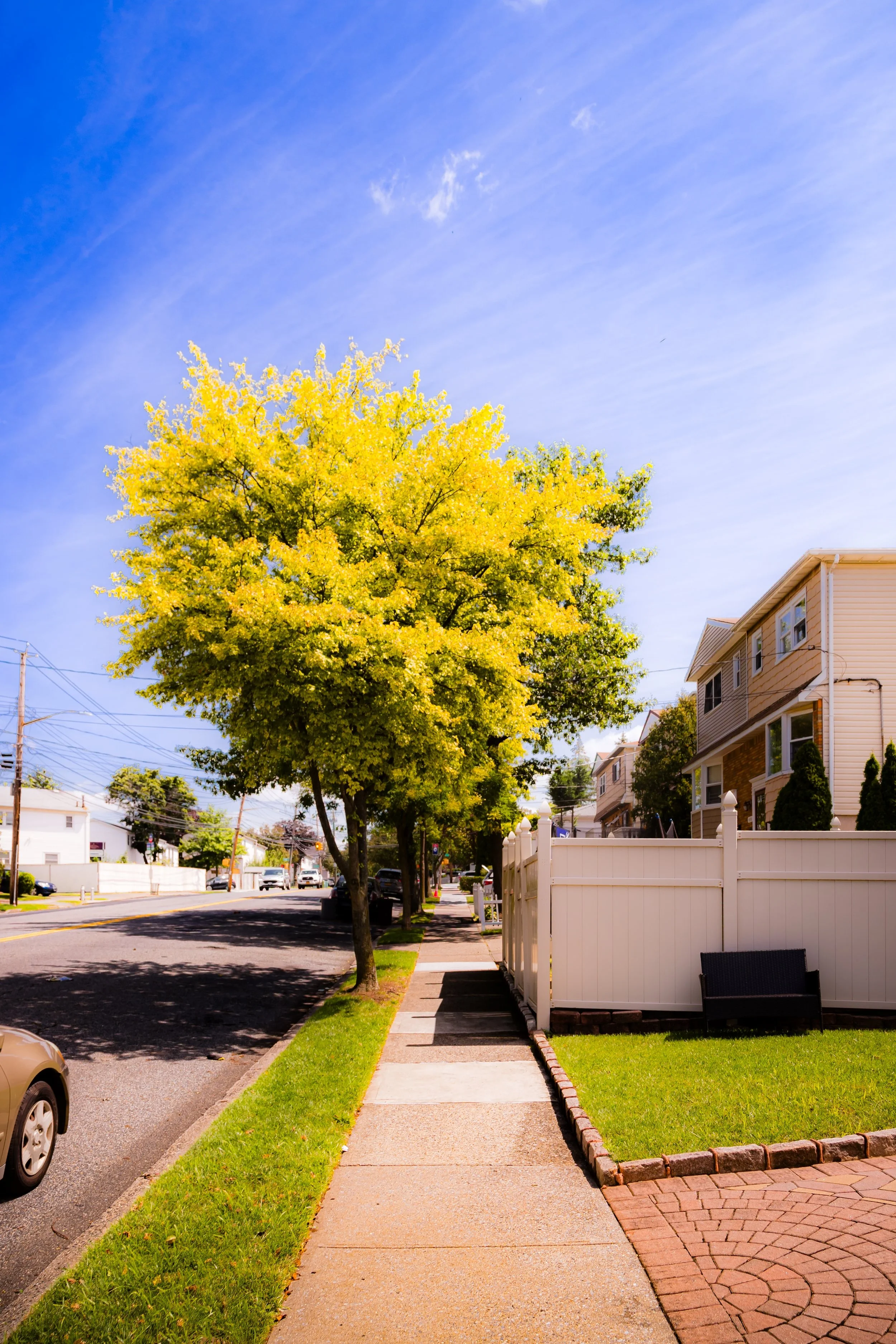
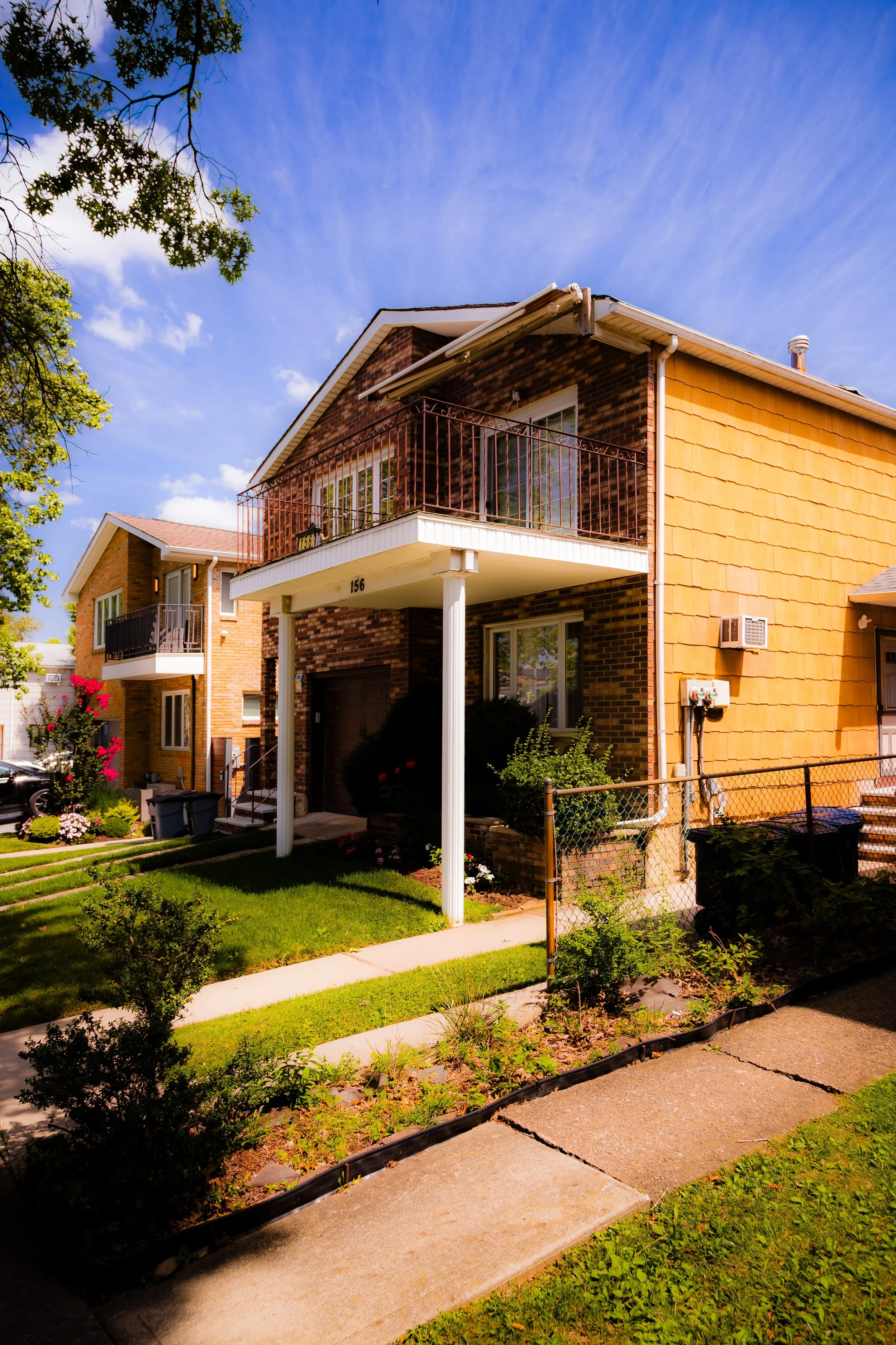
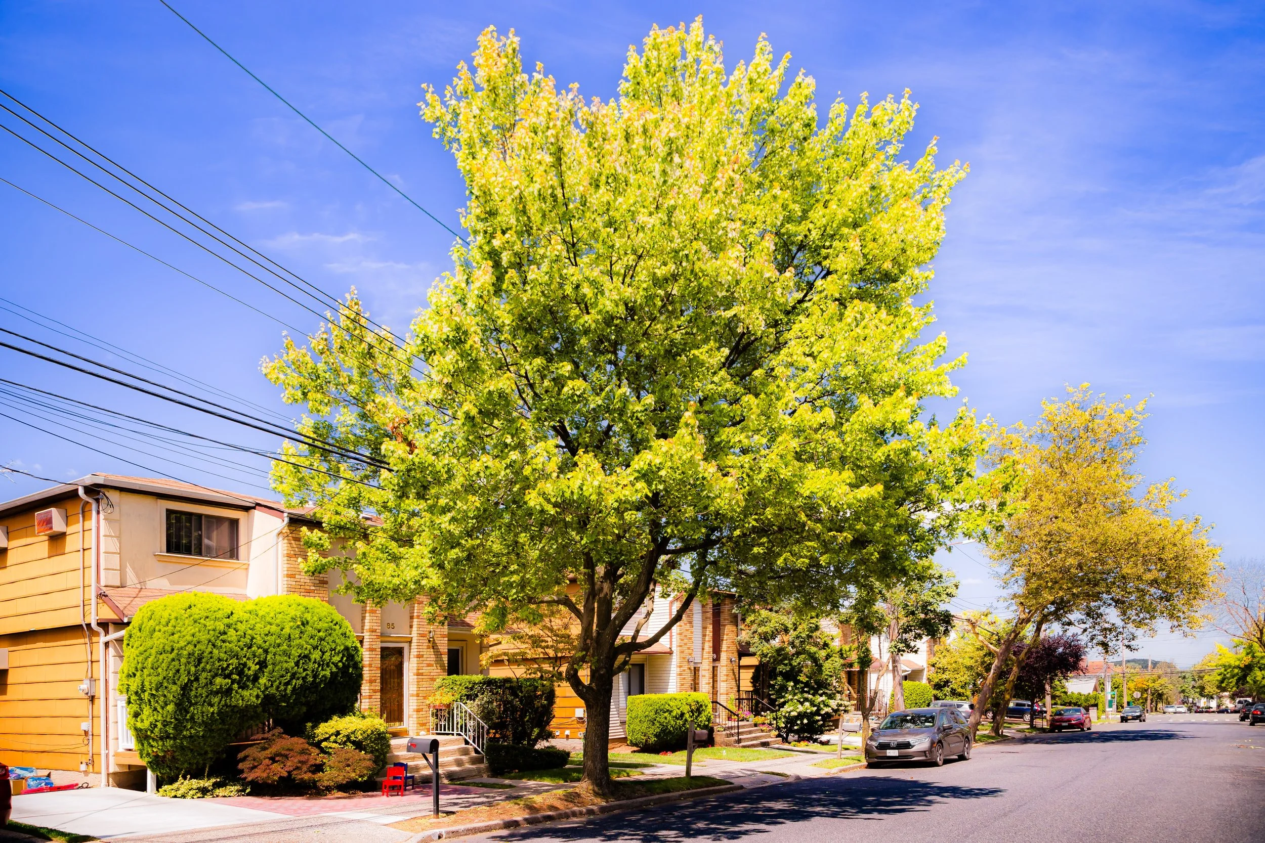
Meanwhile, residential growth accelerated throughout the 1960s to 1980s as suburbanization swept Staten Island. New one- and two-family homes filled in along Victory Boulevard, Bradley Avenue, and Brielle Avenue, while commercial corridors developed along Richmond Avenue and Victory. Yet despite its growth, Willowbrook retained wide lawns, broad streets, and an unusual amount of open space—a legacy of its institutional past and its proximity to protected parkland.
21st Century: Parks, Education, and Quiet Continuity
In the 21st century, Willowbrook has matured into a stable and multifaceted community blending suburban living, higher education, and natural recreation. The College of Staten Island, part of the City University of New York (CUNY), serves as both an intellectual and economic anchor, attracting students from across the borough and beyond. Its expansive campus—dotted with preserved trees, ponds, and meadows—mirrors the surrounding landscape and stands as a living monument to reform and renewal.
Willowbrook Park, one of the crown jewels of the Staten Island Greenbelt, offers 164 acres of walking trails, ballfields, and picnic areas centered around Willowbrook Lake. The park’s open meadows, shaded paths, and wildlife-rich ponds recall the original pastoral setting that gave the neighborhood its name. Each spring and summer, families gather for boating, festivals, and concerts, while birdwatchers and hikers use its trails year-round.
Residentially, Willowbrook remains one of Staten Island’s quieter communities. Its streets—lined with postwar ranches, Colonials, and split-level homes—reflect a suburban continuity distinct from both the island’s older North Shore neighborhoods and its newer South Shore developments. Nearby schools, community centers, and synagogues reinforce the area’s close-knit character. The intersection of Bradley Avenue and Victory Boulevard serves as a modest commercial hub with cafés, delis, and local services, maintaining a neighborhood-scale rhythm.
Increasingly, Willowbrook is also recognized for its environmental importance. Its adjacency to the Greenbelt and LaTourette Park places it at the center of Staten Island’s ecological recovery efforts, making it both a residential community and a gateway to the borough’s green heart.
Willowbrook Photo Gallery
Spirit and Legacy
The spirit of Willowbrook is one of transformation and renewal. From fertile farmland to institutional landscape to a community centered on learning and open space, it has continually redefined itself while retaining its essential character: open, green, and reflective. Its name—once associated with sorrow—now speaks to progress and healing, embodied in the parklands, college campus, and family homes that occupy its rolling terrain.
Willowbrook’s legacy is twofold: it is a place that witnessed one of America’s great social reckonings and one that emerged stronger, more humane, and more hopeful. The balance it now strikes—between education and environment, suburb and sanctuary—honors both its past and its potential.
New York City
Use this custom Google map to explore where every neighborhood in all five boroughs of New York City is located.
The Five Boroughs
One of New York City’s unique qualities is its organization in to 5 boroughs: Manhattan, Brooklyn, Queens, The Bronx, and Staten Island. These boroughs are part pragmatic administrative districts, and part vestiges of the region’s past. Each borough is an entire county in New York State - in fact, Brooklyn is, officially, Kings County, while Staten Island is, officially Richmond County. But that’s not the whole story …
Initially, New York City was located on the southern tip of Manhattan (now the Financial District) that was once the Dutch colony of New Amsterdam. Across the East River, another city was rising: Brooklyn. In time, the city planners realized that unification between the rapidly rising cities would create commercial and industrial opportunities - through streamlined administration of the region.
So powerful was the pull of unification between New York and Brooklyn that three more counties were pulled into the unification: The Bronx, Queens, and Staten Island. And on January 1, 1898, the City of New York unified two cities and three counties into one Greater City of New York - containing the five boroughs we know today.
But because each borough developed differently and distinctly until unification, their neighborhoods likewise uniquely developed. Today, there are nearly 390 neighborhoods, each with their own histories, cultures, cuisines, and personalities - and each with residents who are fiercely proud of their corner of The Big Apple.


