BLOOMFIELD
Staten Island
Geographic Setting
Bounded by the Staten Island Expressway to the north, Felton Street and Graham Avenue to the east, Victory Boulevard to the southeast, Travis and South Avenue to the south, and the Arthur Kill to the west, Bloomfield occupies the far northwestern quadrant of Staten Island—a landscape once defined by meadows, creeks, and tidal marshes now transformed into one of New York City’s largest industrial and logistics districts. The neighborhood stretches across low-lying land between the Fresh Kills estuary and the Arthur Kill waterway, facing the industrial shores of New Jersey. Its flat, open geography made it both an early agricultural frontier and, later, an ideal site for large-scale infrastructure, manufacturing, and modern distribution centers.
Today, Bloomfield is a place of contrasts: sprawling industrial campuses coexist with vestiges of old farm roads and patches of woodland that hint at the area’s rural past. The Goethals Bridge and West Shore Expressway loom nearby, linking Bloomfield to regional trade routes. Yet amid this expanse of warehouses and freight yards, remnants of the old landscape endure—small clusters of homes, quiet pockets near the Travis line, and views across the Arthur Kill where tugboats and container ships pass as they have for generations.
Etymology
The name Bloomfield evokes pastoral imagery—a deliberate gesture from an era when the area was still farmland. It first appeared on 19th-century maps and land deeds, likely chosen to convey the fertility and natural abundance of Staten Island’s western shore. The word “bloom” referred not to flowers in particular, but to the area’s verdant meadows and blooming orchards that once lined the banks of the Arthur Kill. Early settlers and developers often chose such bucolic names to attract newcomers, pairing rural beauty with modern ambition.
Over time, the name survived industrialization, landfill operations, and the rise of the Fresh Kills Landfill just to the south. Even as the physical landscape changed beyond recognition, “Bloomfield” endured—an echo of its original promise of open fields, renewed today in the green buffers and preserved wetlands that fringe its massive logistics parks.
The Neighborhood
Origins through the 19th Century
In the 17th and 18th centuries, the land that became Bloomfield was part of the island’s western commons—vast tracts of forest, marsh, and pasture used by early Dutch and English settlers for grazing and salt hay. The Lenape people had long fished and foraged along the Arthur Kill, their trails following the creeks that emptied into the tidal flats. After European settlement, these lowlands were gradually parceled into farms and homesteads extending from the uplands near Travis to the waterfront.
By the early 1800s, Bloomfield was a rural district of the town of Northfield, characterized by scattered farmhouses, meandering dirt lanes, and tidal mills along small inlets. The area’s fertile soil and proximity to waterways made it suitable for small-scale agriculture and market gardening. Barges carried local produce and timber across the Arthur Kill to Perth Amboy and Elizabethport, while fishermen and oystermen plied the tidal waters. The arrival of Victory Boulevard as a major east-west route in the mid-19th century provided better access to Port Richmond and New Brighton, integrating Bloomfield’s farms into the island’s growing economy.
Despite its promise, Bloomfield remained lightly settled throughout the century, overshadowed by denser development along Staten Island’s northern and eastern shores. It retained a reputation for quiet rural beauty—fields, brooks, and distant harbor views—well into the late 1800s.
Early 20th Century: Industry at the Edge
The dawn of the 20th century brought the first stirrings of industrial transformation. The Arthur Kill’s deep channel made Bloomfield’s western waterfront attractive for heavy industry, and oil storage, ship repair, and freight operations gradually replaced farmland. Rail spurs connected the area to the Baltimore & Ohio Railroad, integrating Staten Island into the broader industrial network of New York Harbor.
By the 1930s, the northern half of Bloomfield was dotted with factories and warehouses, while the southern portion near Travis remained semi-rural. The construction of Goethals Bridge (1928) cemented the area’s strategic importance, linking Staten Island directly to New Jersey and spurring additional industrial growth. Yet even as smokestacks rose along the Arthur Kill, small clusters of homes persisted near Victory Boulevard—modest cottages for workers who toiled in the waterfront plants or commuted to nearby Port Richmond.
During this era, Bloomfield exemplified the city’s shifting frontier: half farm, half factory, a liminal landscape between nature and industry. The name “Bloomfield,” once pastoral, now took on an ironic hue—its open meadows increasingly overshadowed by steel and concrete.
Bloomfield Video Coming Soon
Mid–Late 20th Century: From Landfill to Logistics
The mid-20th century transformed Bloomfield beyond recognition. In 1948, the Fresh Kills Landfill opened just south of the neighborhood, becoming the largest municipal landfill in the world. Though technically outside Bloomfield’s boundary, its presence defined the area’s identity for half a century. The odor, truck traffic, and stigma associated with Fresh Kills curtailed residential growth and solidified Bloomfield’s industrial trajectory.
At the same time, infrastructure expanded. The Staten Island Expressway (1964) and West Shore Expressway (1970s) created direct routes to the Goethals Bridge and Outerbridge Crossing, making Bloomfield a logistical linchpin within the region. Warehouses, storage yards, and energy facilities proliferated, while the remaining farms disappeared. By the late 20th century, much of Bloomfield had become a patchwork of industrial parcels, petroleum storage tanks, and unused wetlands.
Despite this, environmental advocates and civic leaders began to envision renewal. As New York City planned the closure of the Fresh Kills Landfill in the 1990s, Bloomfield’s proximity to both open land and major highways positioned it for reinvention. The challenge was to reconcile the area’s industrial role with its ecological significance—a dual legacy still shaping its evolution today.
21st Century: Reinvention and Renewal
In the 21st century, Bloomfield has reemerged as one of Staten Island’s most dynamic economic zones. The Matrix Global Logistics Park, completed in phases beginning in the late 2010s, brought state-of-the-art distribution facilities for companies like Amazon, IKEA, and ShopRite, transforming hundreds of acres of underused land into a modern employment hub. Wide boulevards, energy-efficient warehouses, and landscaped buffers have replaced the derelict lots of the past. The redevelopment capitalized on Bloomfield’s unmatched access to the Goethals Bridge and regional interstates, positioning it as the logistical heart of Staten Island’s economy.
Parallel to this industrial renaissance, environmental restoration has advanced. Portions of the Arthur Kill waterfront have been reclaimed as protected wetlands, and stormwater retention basins now serve as green infrastructure. The Freshkills Park project, directly adjacent to Bloomfield, promises to convert 2,200 acres of former landfill into one of the largest urban parks in the world—a dramatic inversion of the area’s 20th-century identity.
Residential life remains limited, but small enclaves persist along Victory Boulevard and the Travis border, where families maintain gardens and a sense of continuity amid the hum of truck engines and cranes. Bloomfield today stands as a testament to Staten Island’s adaptive capacity—a place where commerce, ecology, and memory intersect on reclaimed ground.
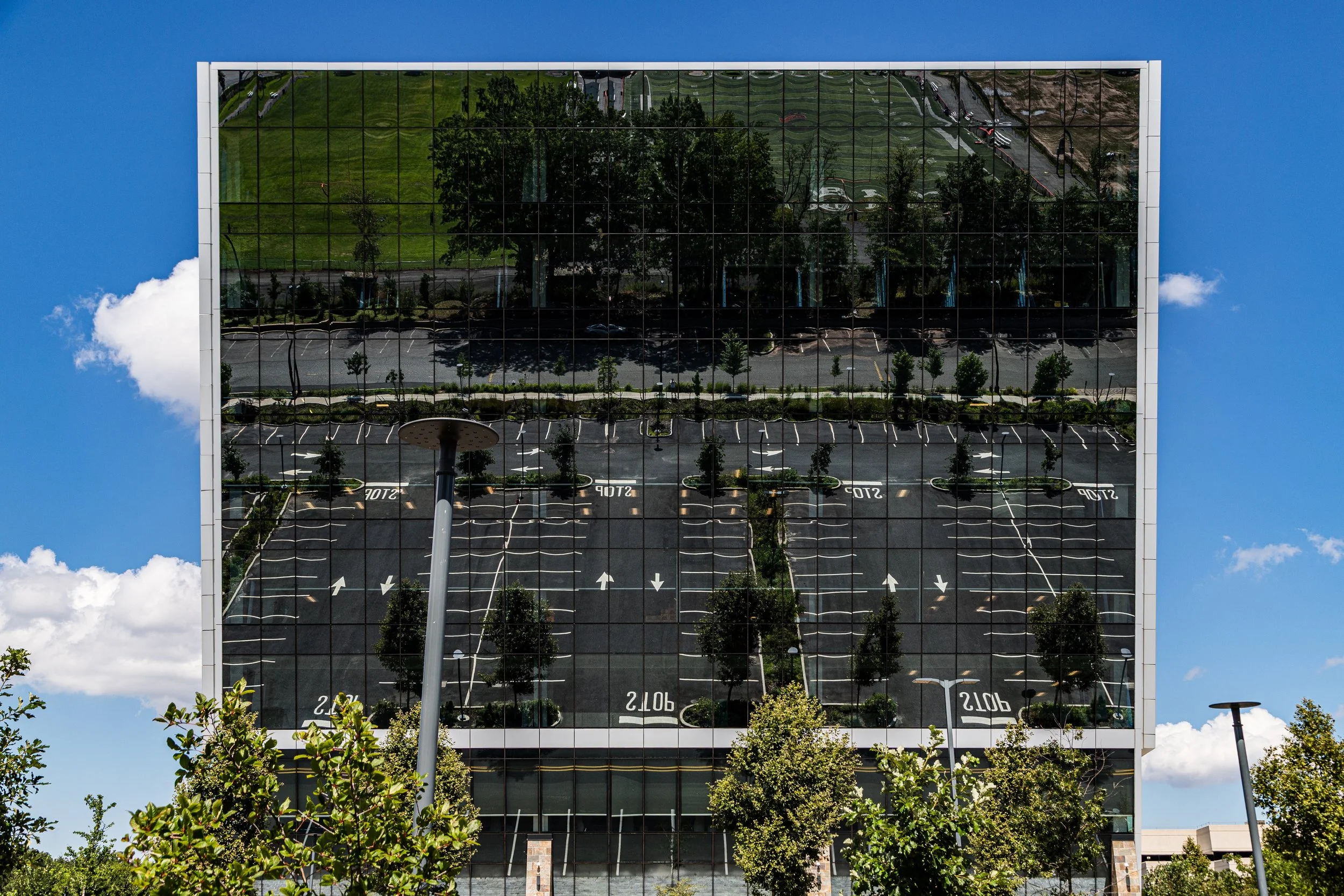
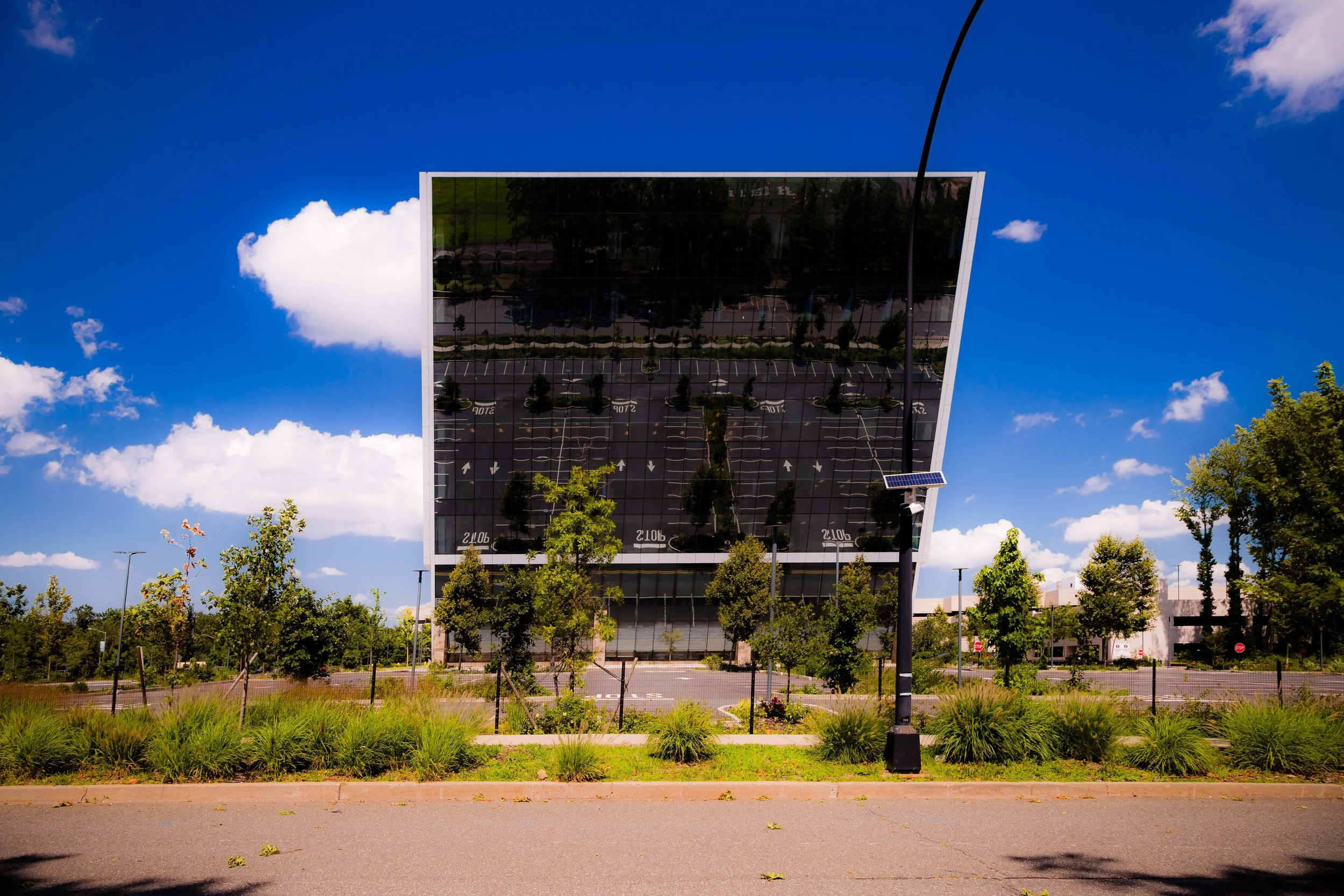
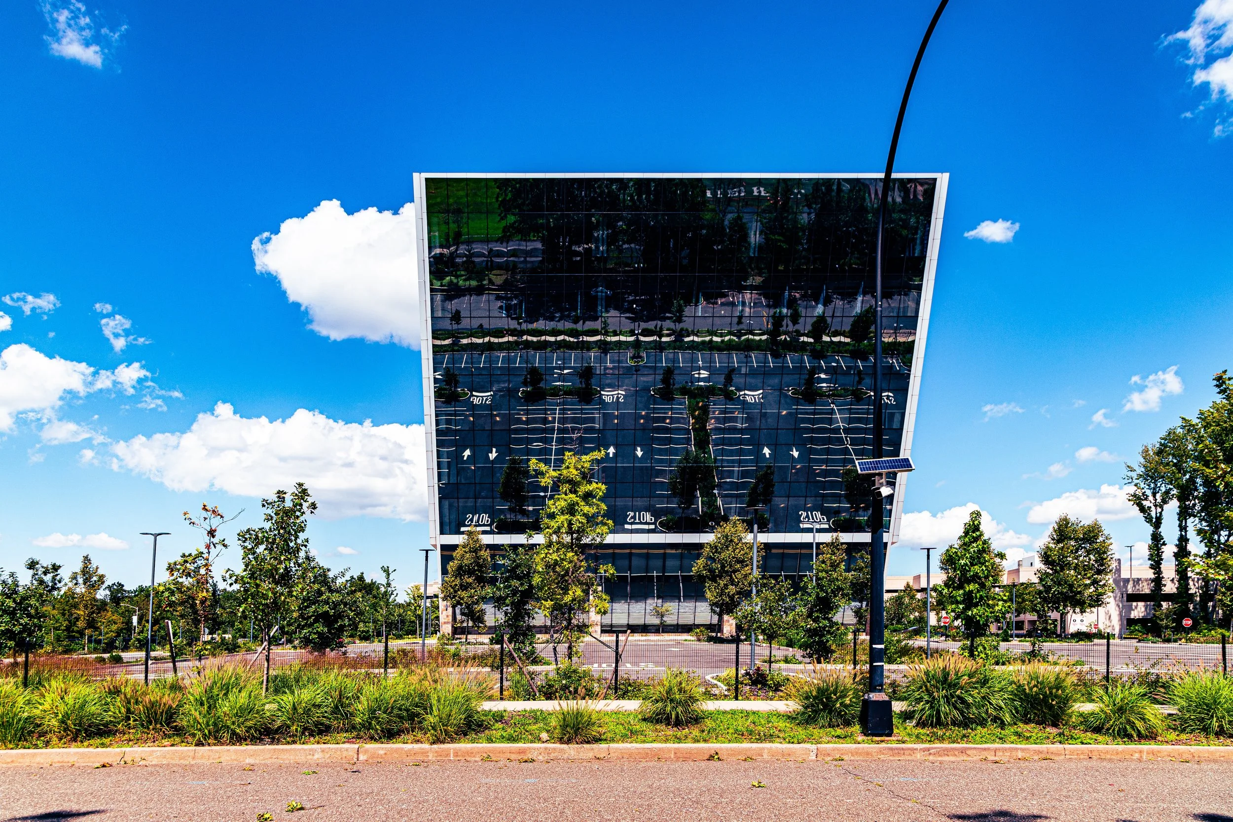
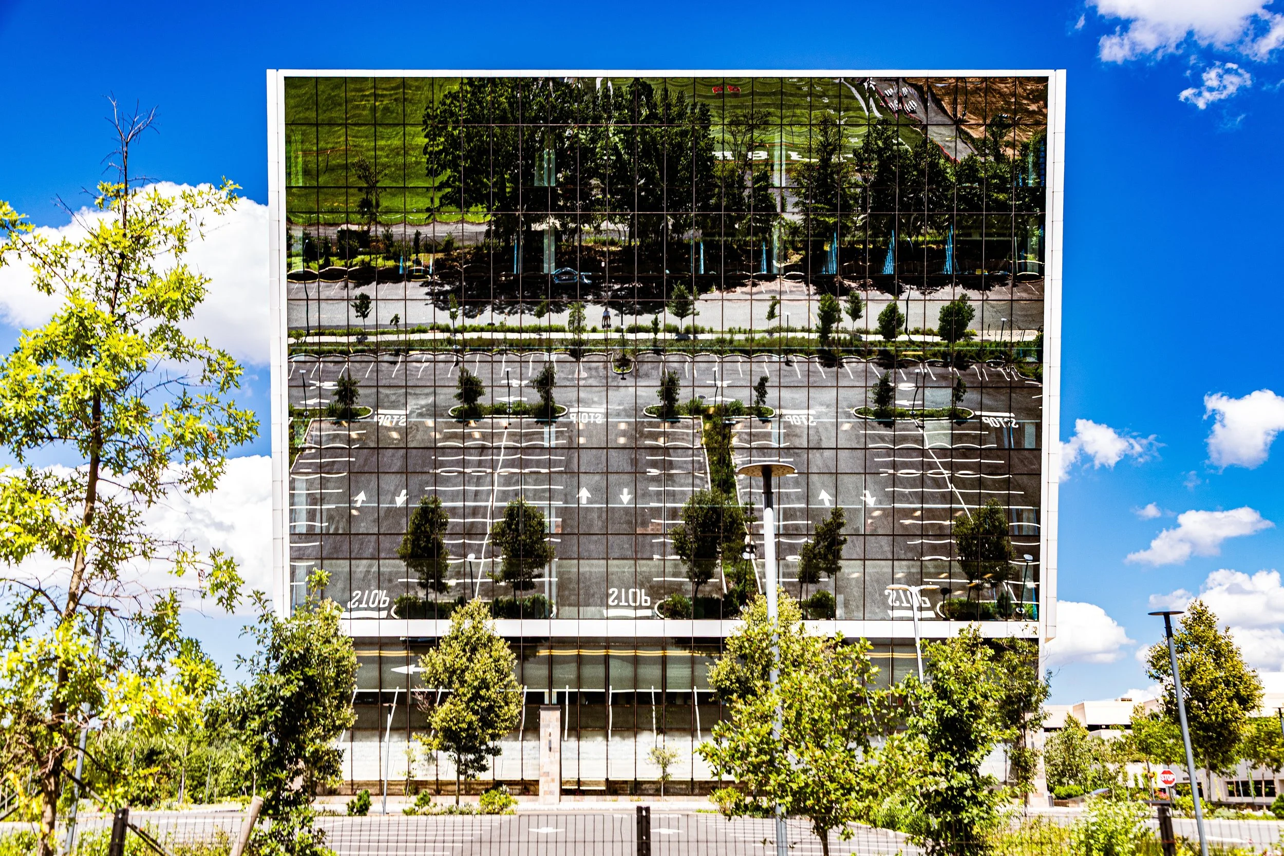
Bloomfield Photo Gallery
Spirit and Legacy
Bloomfield’s legacy is one of transformation and endurance. From meadows to factories, from landfills to logistics parks, its evolution mirrors Staten Island’s broader narrative: the constant negotiation between industry and environment, utility and beauty. Its name—once a rural idyll, later a byword for blight—has come full circle in the restoration of wetlands and the rise of sustainable development along the Arthur Kill.
For those who know it well, Bloomfield represents more than industry; it is the frontier where the island’s past and future converge. Beneath the asphalt lie the traces of fields and tide pools, the memory of farmers and shipwrights, and the promise of renewal written into the landscape itself.
New York City
Use this custom Google map to explore where every neighborhood in all five boroughs of New York City is located.
The Five Boroughs
One of New York City’s unique qualities is its organization in to 5 boroughs: Manhattan, Brooklyn, Queens, The Bronx, and Staten Island. These boroughs are part pragmatic administrative districts, and part vestiges of the region’s past. Each borough is an entire county in New York State - in fact, Brooklyn is, officially, Kings County, while Staten Island is, officially Richmond County. But that’s not the whole story …
Initially, New York City was located on the southern tip of Manhattan (now the Financial District) that was once the Dutch colony of New Amsterdam. Across the East River, another city was rising: Brooklyn. In time, the city planners realized that unification between the rapidly rising cities would create commercial and industrial opportunities - through streamlined administration of the region.
So powerful was the pull of unification between New York and Brooklyn that three more counties were pulled into the unification: The Bronx, Queens, and Staten Island. And on January 1, 1898, the City of New York unified two cities and three counties into one Greater City of New York - containing the five boroughs we know today.
But because each borough developed differently and distinctly until unification, their neighborhoods likewise uniquely developed. Today, there are nearly 390 neighborhoods, each with their own histories, cultures, cuisines, and personalities - and each with residents who are fiercely proud of their corner of The Big Apple.


