
ARDEN HEIGHTS
Staten Island
Geographic Setting
Bounded by Arthur Kill Road to the northeast, Drumgoole Road and the Korean War Veterans Parkway to the south, Heenan and Belfield Avenues to the west up to Vespa Avenue, then east to Arden Avenue and north along Arden back to Drumgoole Road, Arden Heights occupies a gentle rise within Staten Island’s South Shore. This elevated terrain once overlooked acres of tidal wetlands, ponds, and second-growth forests, a landscape that still whispers beneath the planned streets and landscaped parks that define the neighborhood today.
The area’s topography lends it a distinct sense of openness—rolling ground, mature trees, and long vistas toward Rossville and the Arthur Kill waterway to the west. Modern developments such as Village Greens, Aspen Knolls, and Arden Heights Woods integrate preserved green space into residential design, forming a rare continuum of suburban and natural worlds. The Arden Avenue corridor acts as a central spine, connecting the neighborhood to Eltingville and Annadale on the east and Woodrow on the southwest. The proximity of the Korean War Veterans Parkway ensures access to the island’s highway system, yet Arden Heights retains a distinctly inward calm—a community of cul-de-sacs, playgrounds, and ponds set apart from the city’s bustle.
Etymology
The name Arden Heights evokes both poetry and topography. “Arden” traces back to the Forest of Arden in Shakespeare’s As You Like It—a symbol of pastoral refuge and renewal. Paired with “Heights,” the name conjures an elevated haven above the plain, perfectly describing this South Shore district’s gentle ridges. The title likely emerged in the late 19th century when Staten Island developers, inspired by English romanticism, affixed bucolic names to their subdivisions—Annadale, Eltingville, Woodrow—to attract middle-class commuters seeking rustic charm within the metropolitan orbit. Though no single “Arden” family is known to have founded the area, the name’s resonance with natural retreat proved enduring. By the mid-20th century, “Arden Heights” had entered official use, distinguishing it from the neighboring districts whose boundaries had begun to blur amid postwar growth.
The Neighborhood
Origins through the 19th Century
Before suburbanization, the land that became Arden Heights formed part of a larger expanse of farmland and forest stretching between Rossville, Woodrow, and Greenridge. The original inhabitants were the Lenape, who hunted and fished along the marshes of the Arthur Kill and the streams that threaded through what is now Arden Heights Woods. In the colonial and early American eras, European settlers—mainly Dutch and English families—claimed the arable uplands for small farms and orchards. Names like LaForge, Bunnell, and Blossom appeared on 18th- and 19th-century deeds.
Transportation was limited to dirt roads and cart paths that connected isolated homesteads with Rossville Landing, where ferries ran to New Jersey. The 19th century brought gradual change: Arthur Kill Road became the main conduit linking the western shore to Richmondtown, and modest settlements began to form along its route. Yet Arden Heights remained sparsely populated well into the 1880s. The Staten Island Rapid Transit railway, though transformative for coastal communities like Annadale and Huguenot, skirted east of the area, leaving these uplands quiet and largely agricultural. By century’s end, Arden Heights existed in name only—a rural district of fields, woodlots, and meandering creeks awaiting the suburban tide.
Early 20th Century: The Rural Interlude
The first half of the 20th century preserved Arden Heights as one of Staten Island’s most rustic landscapes. Farms and greenhouses dotted Arthur Kill Road, and families still drew water from wells and cisterns. The air was filled with the scent of lilacs and tilled earth in spring, woodsmoke in autumn. Mail delivery was sparse; the nearest concentration of stores or schools lay in Eltingville or Rossville. The area’s identity was rooted in self-sufficiency and neighborly independence.
Even as other South Shore villages began to adopt suburban patterns, Arden Heights remained a landscape of open tracts and narrow lanes. Its remoteness shielded it from speculative building booms, and the absence of a rail station ensured that the automobile would be the defining force of its future. When the Outerbridge Crossing opened in 1928, connecting Staten Island to New Jersey, a few new homes appeared, but they stood far apart—bungalows surrounded by acres of grass. Electricity and paved roads arrived in phases, and into the 1940s, cows and horses still grazed behind weathered fences along Belfield Avenue. It was, in every sense, the rural fringe of a city that had yet to claim it.
Arden Heights Video Coming Soon
Mid–Late 20th Century: Suburban Revolution and Village Greens
The 1960s marked the end of Arden Heights’ pastoral age. The opening of the Verrazzano-Narrows Bridge (1964) transformed Staten Island overnight, drawing tens of thousands of new residents seeking suburban homes within commuting distance of Manhattan. Developers turned their gaze toward the South Shore, where open land was plentiful.
Arden Heights became the site of one of New York City’s most innovative residential experiments: the Village Greens development, constructed in the early 1970s. Designed as Staten Island’s first homeowner association community, Village Greens introduced townhouse living with shared amenities—parks, pools, and walking paths—woven through a network of curved streets and landscaped commons. Its planning echoed the “new town” principles emerging nationally at the time, emphasizing community design, recreation, and environmental integration.
At the same time, public investment followed. Public School 4 (Maurice Wollin School) opened to serve the growing population, and Arden Heights Boulevard became a main internal artery. Retail plazas and churches soon followed, creating a self-contained neighborhood where none had existed before.
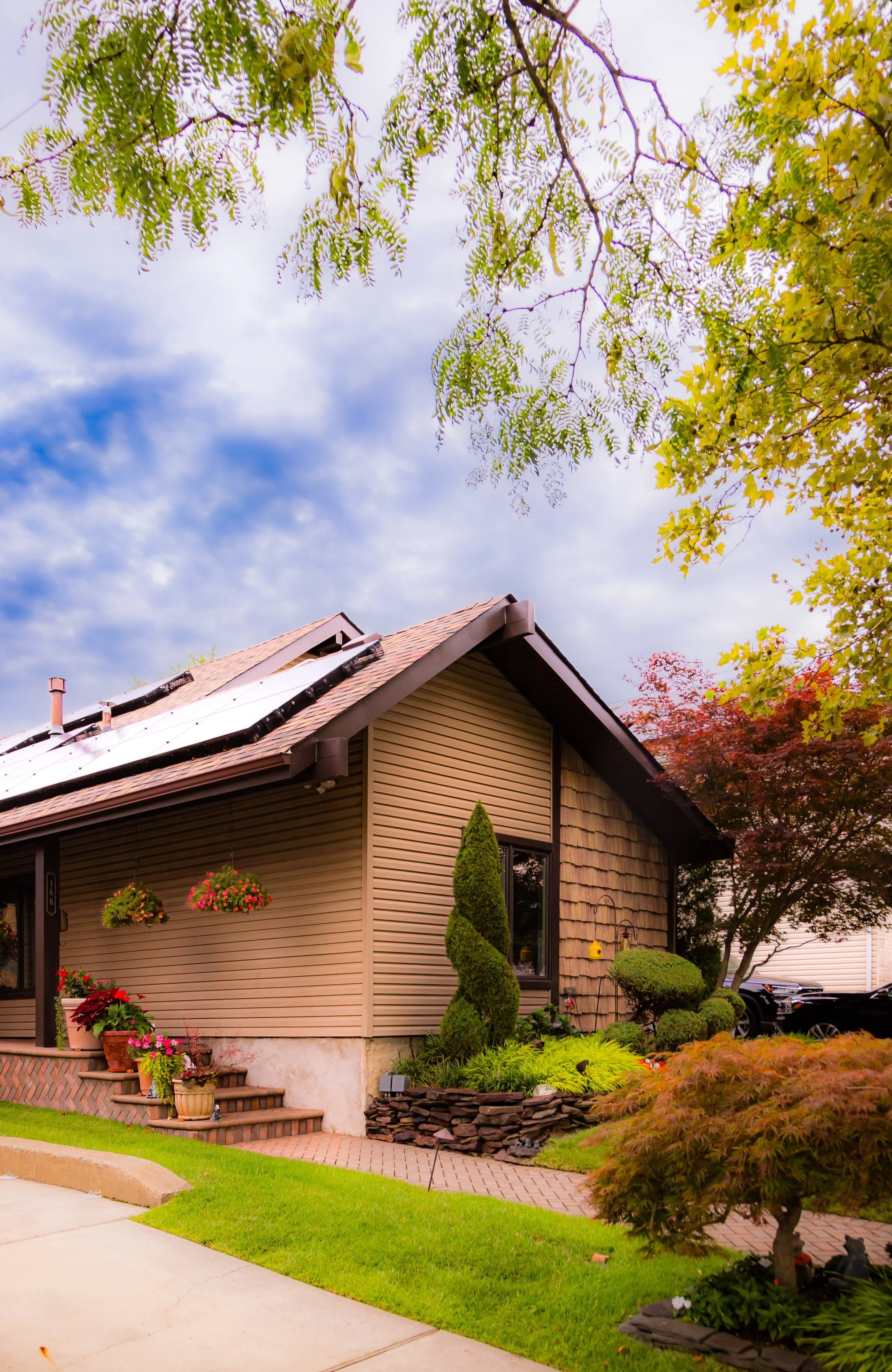
By the 1980s, additional housing complexes such as Aspen Knolls expanded the model, while environmentalists fought to preserve fragments of the remaining woods. Their efforts led to the protection of the Arden Heights Woods and adjacent wetlands—remnants of the original forest that once blanketed the area. The Korean War Veterans Parkway, completed in stages through the 1970s and 1980s, provided swift highway access while defining the community’s southern edge. The transformation was complete: Arden Heights had shifted from pastoral obscurity to emblem of Staten Island’s suburban promise.
21st Century: A Suburb in Maturity
In the 21st century, Arden Heights stands as one of Staten Island’s most cohesive residential enclaves—a place where planned development meets protected wilderness. The Arden Heights Woods Nature Preserve remains a vital green lung, threading through the community with trails, ponds, and upland forests that support owls, foxes, and migratory birds. The interplay between housing and nature is tangible: one can step from townhouse to trail within minutes, hearing frogs in the wetlands that once defined the entire landscape.
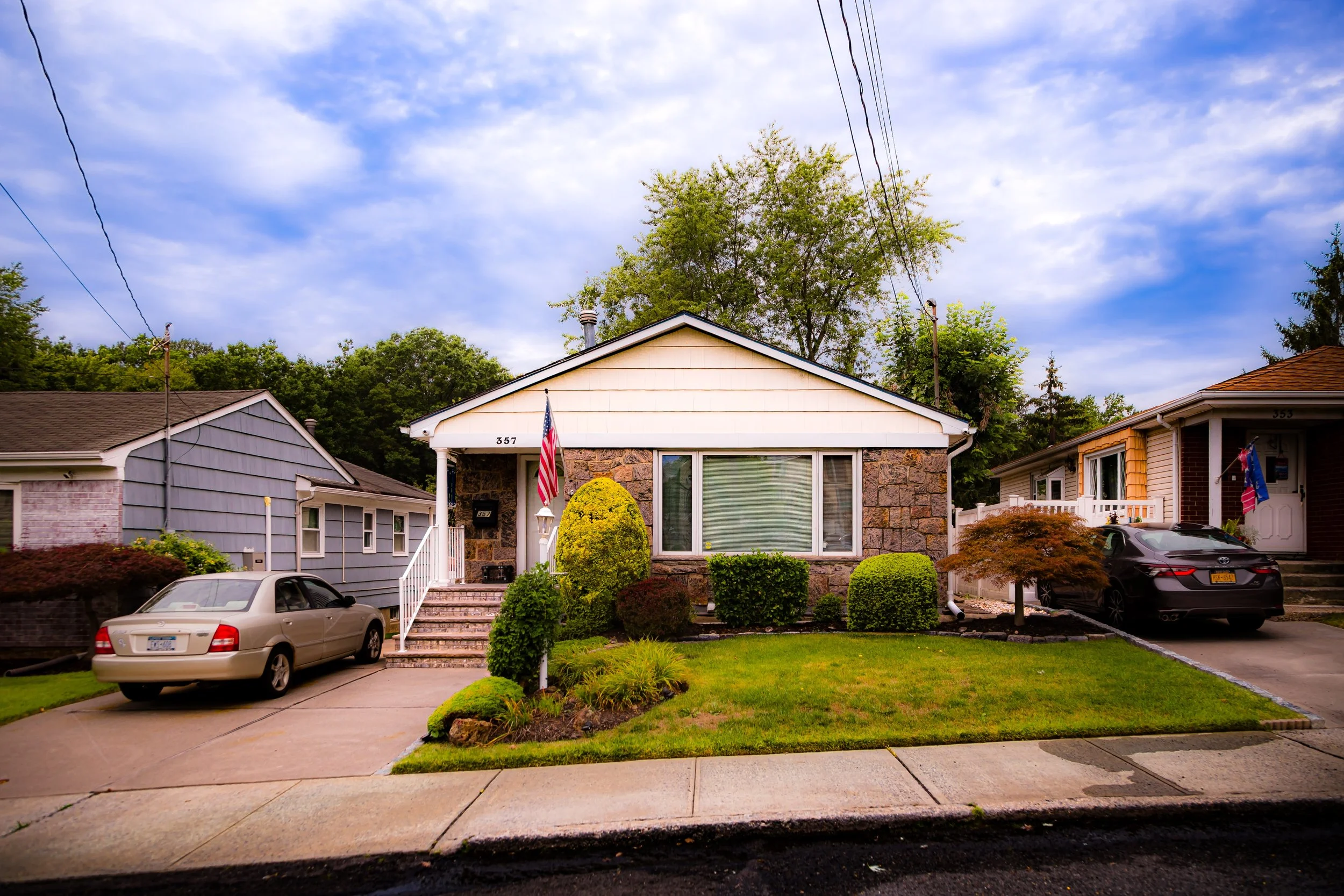
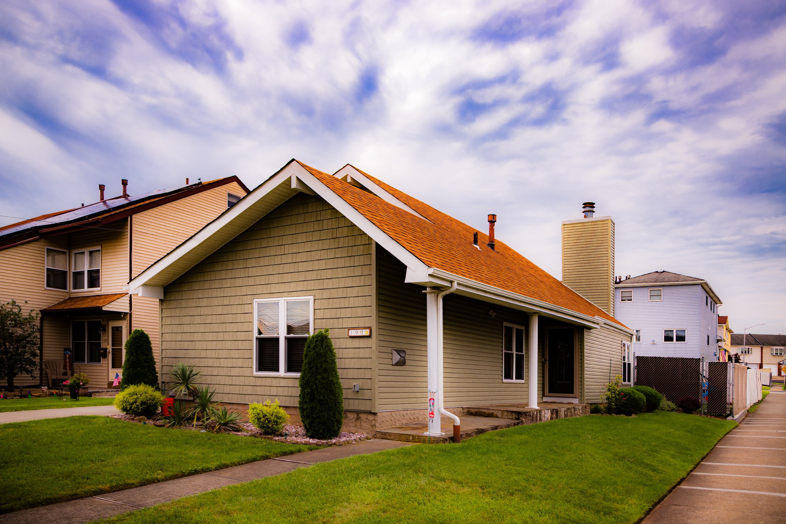
Demographically, the neighborhood reflects Staten Island’s growing diversity, with Italian-American, Irish-American, and increasingly multiethnic families living side by side. The local commercial spine along Arthur Kill Road and Arden Avenue features cafés, pizzerias, fitness centers, and small businesses that give the district a distinctly local feel—neither urban nor generic suburban. Schools, churches, and civic groups anchor community life, and residents are known for their meticulous maintenance of shared spaces.
Despite increasing traffic along the parkway and Arthur Kill Road, Arden Heights retains a sense of serenity uncommon in the city. Its residents describe it as a “neighborhood of greenspace and good neighbors”—a place where children still play in cul-de-sacs, and where the horizon remains framed by trees rather than towers.
Arden Heights Photo Gallery
Spirit and Legacy
The spirit of Arden Heights lies in its balance—between old Staten Island and new, between deliberate planning and organic growth, between the ideal of the pastoral and the practical needs of modern suburbia. Its name, born from Shakespearean imagination, now carries the weight of lived experience: decades of families carving lives from land once farmed, forested, and forgotten.
Arden Heights stands as a testament to Staten Island’s post-bridge transformation, but also to its enduring character. It embodies the borough’s struggle—and success—in blending environmental preservation with human settlement. The whisper of the original woods still lingers through the rustle of leaves along the Village Greens paths, a reminder that progress need not erase memory.
For its residents, Arden Heights is more than an address—it is a home sustained by design, nature, and the quiet continuity of community. From its curving streets and wooded trails to the laughter rising from its neighborhood pools, the area endures as a living expression of the Staten Island promise: that even within the world’s greatest metropolis, there remains space for air, light, and belonging.
New York City
Use this custom Google map to explore where every neighborhood in all five boroughs of New York City is located.
The Five Boroughs
One of New York City’s unique qualities is its organization in to 5 boroughs: Manhattan, Brooklyn, Queens, The Bronx, and Staten Island. These boroughs are part pragmatic administrative districts, and part vestiges of the region’s past. Each borough is an entire county in New York State - in fact, Brooklyn is, officially, Kings County, while Staten Island is, officially Richmond County. But that’s not the whole story …
Initially, New York City was located on the southern tip of Manhattan (now the Financial District) that was once the Dutch colony of New Amsterdam. Across the East River, another city was rising: Brooklyn. In time, the city planners realized that unification between the rapidly rising cities would create commercial and industrial opportunities - through streamlined administration of the region.
So powerful was the pull of unification between New York and Brooklyn that three more counties were pulled into the unification: The Bronx, Queens, and Staten Island. And on January 1, 1898, the City of New York unified two cities and three counties into one Greater City of New York - containing the five boroughs we know today.
But because each borough developed differently and distinctly until unification, their neighborhoods likewise uniquely developed. Today, there are nearly 390 neighborhoods, each with their own histories, cultures, cuisines, and personalities - and each with residents who are fiercely proud of their corner of The Big Apple.


