
PLEASANT PLAINS
Staten Island
Geographic Setting
Bounded by Drumgoole Road and the Korean War Veterans Parkway to the north, Maguire and Woodvale Avenues to the east, Prince’s Bay to the south, and Richard Avenue to the west, Pleasant Plains occupies a serene and semi-rural expanse on Staten Island’s far South Shore. The neighborhood stretches from wooded inland ridges down to the tidal wetlands and coves of Prince’s Bay, where marsh grasses sway beneath wide skies and the scent of saltwater mingles with pine and oak.
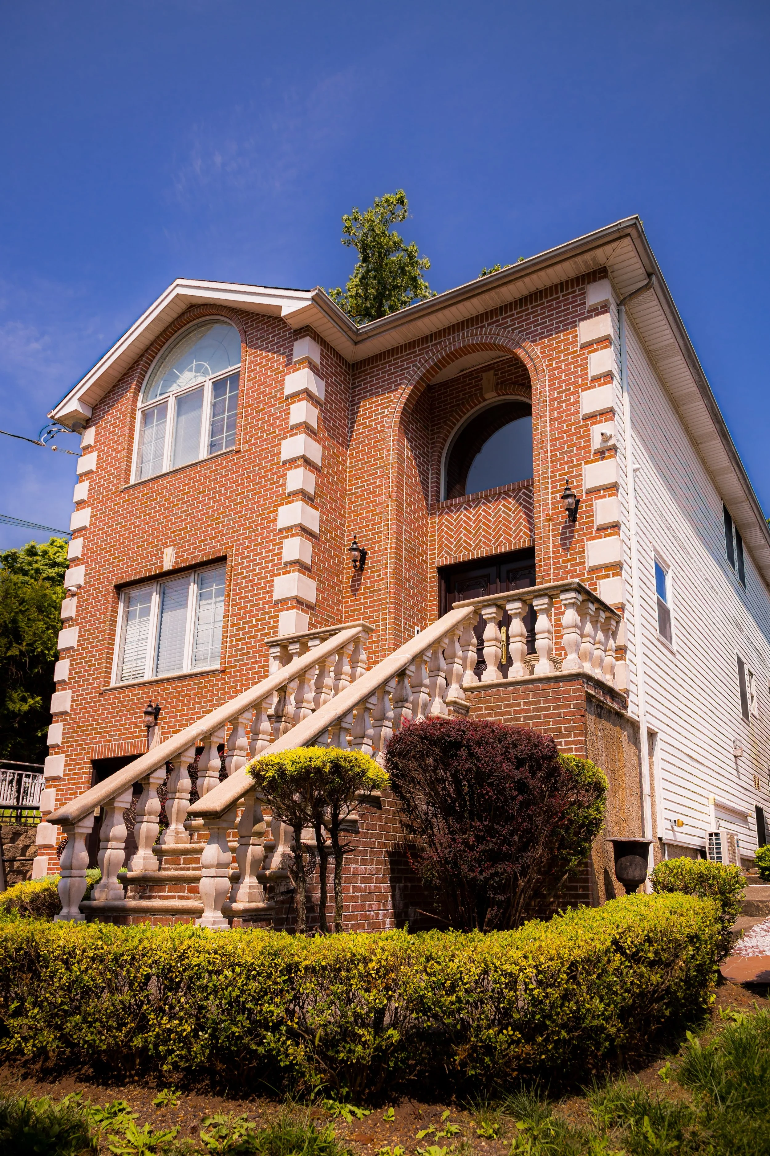
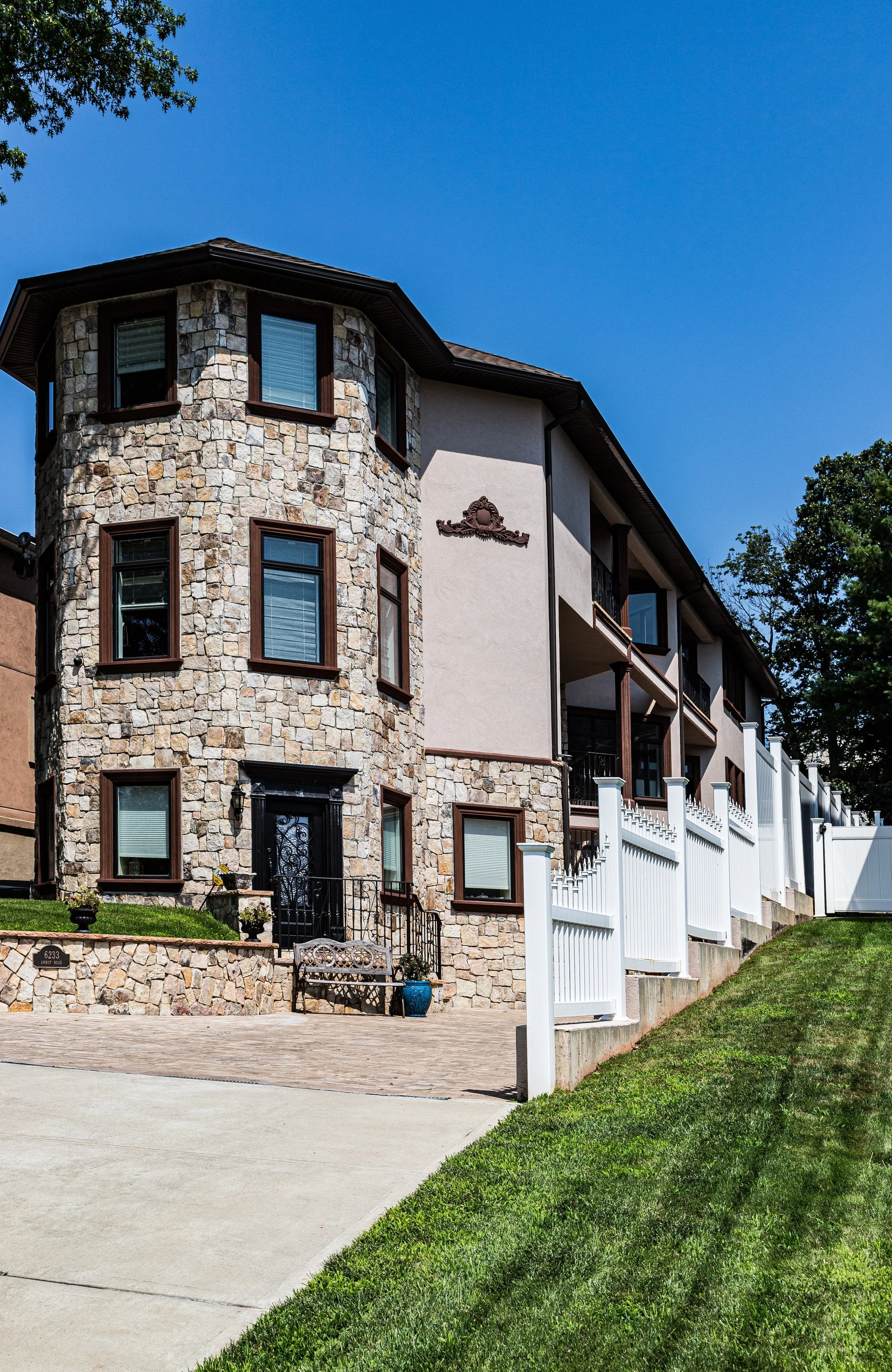
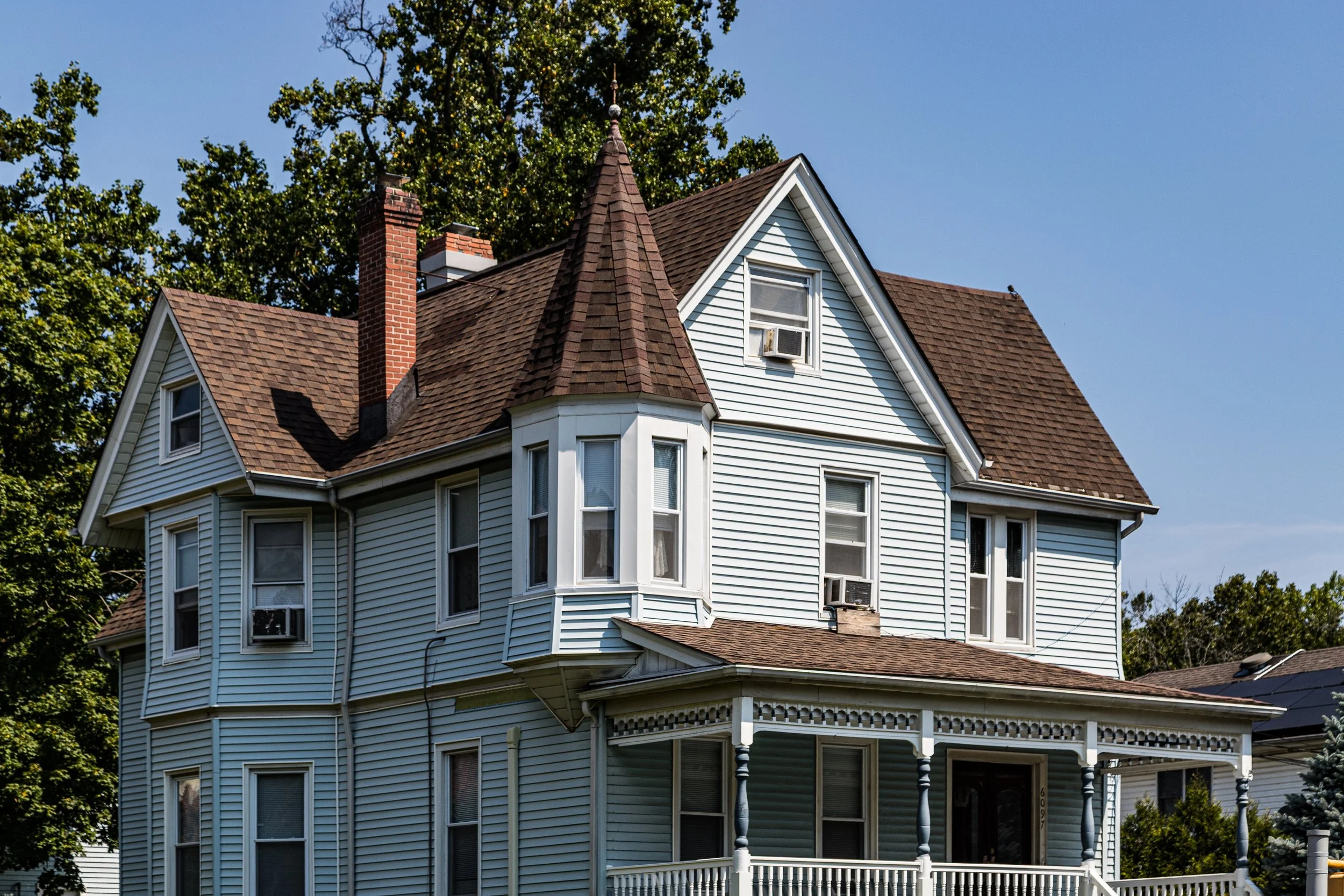
Set apart from the denser neighborhoods to the north, Pleasant Plains is characterized by its open landscapes—tree-lined streets, historic farmhouses, and stretches of preserved parkland interwoven with postwar homes. The Staten Island Railway bisects the community, its Pleasant Plains station anchoring a modest commercial cluster near Amboy Road, while nearby Bloomingdale Park and the Clay Pit Ponds State Park Preserve define the neighborhood’s green and ecological heart. Here, Staten Island still reveals its rural heritage—a quiet landscape of fields, forests, and bays that continues to embody its name: a place both pleasant and enduringly plain in the best sense of the word.
Etymology
The name Pleasant Plains first appeared in the early 19th century, a simple but evocative description of the area’s geography: broad, level tracts of fertile farmland stretching toward the south shore. The word “pleasant” captured not only the pastoral beauty of its meadows and oak groves but also the community’s tranquil temperament.
Early settlers—predominantly English and Dutch descendants—chose names that reflected the land’s physical character rather than grandiose ambition. In this case, Pleasant Plains stood in poetic contrast to the rocky highlands of Staten Island’s central spine, representing instead the island’s low, breezy, and agrarian southern reaches. Over time, the name came to signify both the landscape and the lifestyle of its residents: peaceful, green, and close to nature.
The Neighborhood
Origins through the 19th Century
Pleasant Plains traces its origins to the colonial era, when Dutch and English farmers established homesteads along the south shore’s fertile soil. In the 17th and 18th centuries, the area formed part of the larger Town of Westfield, a patchwork of farms, mills, and woodland that stretched from Tottenville eastward to Huguenot. Its proximity to the sheltered harbor of Prince’s Bay made it ideal for both agriculture and maritime trade. Farmers cultivated grains, vegetables, and orchard fruits while shipping oysters and timber to New York markets.
By the early 1800s, Pleasant Plains had developed into a small agrarian village centered around Amboy Road, the island’s principal coastal thoroughfare. Blacksmith shops, general stores, and churches served the scattered farmsteads. Among the earliest religious institutions was the St. Mark’s United Methodist Church, founded in 1827 and rebuilt in 1886, which remains a neighborhood landmark today. The surrounding plains supported some of Staten Island’s most productive farms, including those of the Seguine and Housman families, whose estates extended across much of the southern shore.
In 1860, the Staten Island Railway opened a station at Pleasant Plains, transforming the area from a purely rural hamlet into a connected community. The railway linked residents to ferry service at St. George and to neighboring villages such as Tottenville and Annadale, setting the stage for gradual suburbanization while preserving the village’s bucolic charm.
Early 20th Century: From Farmland to Village Community
At the dawn of the 20th century, Pleasant Plains remained largely agricultural but began to see small-scale development along Amboy Road and Bloomingdale Road. Local families sold off parcels of farmland for residential use, while small businesses and civic institutions flourished around the railway station. The construction of nearby Mount Loretto, a sprawling orphanage and mission founded by Father John C. Drumgoole in 1882, added a major institutional presence just south of the community, blending charitable work with pastoral seclusion.
Electric trolleys and the railway made Pleasant Plains increasingly accessible to commuters from elsewhere on Staten Island. Modest wood-frame houses and cottages replaced barns and outbuildings, creating a loosely defined suburban landscape amid still-rural surroundings. Residents enjoyed a self-sufficient rhythm of life: groceries from local markets, services from small tradesmen, and Sunday gatherings at St. Mark’s or at the mission chapel.
Even as industrialization reached other parts of Staten Island, Pleasant Plains remained a landscape of quiet roads, open skies, and family farms. The pace of change was slow, its growth steady but deliberate—a pattern that helped preserve its distinctive village identity through the modern era.
Pleasant Plains Video Coming Soon
Mid–Late 20th Century: Suburban Expansion and Preservation
The post–World War II period brought new suburban pressures to Staten Island, yet Pleasant Plains remained one of the borough’s most pastoral corners. The construction of the Korean War Veterans Parkway (1964–1972) defined the community’s northern boundary while providing easier access to the Verrazzano-Narrows Bridge. Modest suburban housing developments arose along Bloomingdale Road, yet much of the neighborhood’s southern and western sections retained open land and forest cover.
During the 1970s and 1980s, community advocates and environmentalists began pushing for the protection of Staten Island’s remaining natural areas. Their efforts culminated in the creation of the Clay Pit Ponds State Park Preserve (1977), a 260-acre expanse of ponds, woodlands, and rare coastal habitats bordering Pleasant Plains to the northwest. The park’s name recalls the 19th-century clay mining industry that once supplied Staten Island’s brickworks, but its present form serves as a sanctuary for native wildlife and a living reminder of the area’s natural heritage.
Through these decades, Pleasant Plains managed to balance growth and preservation. Bloomingdale Park, redeveloped in the early 2000s, became a central recreational space for families and youth sports, while the surrounding streets maintained their suburban calm. The neighborhood’s mix of mid-century ranches, Colonials, and newer custom homes reflects a pattern of measured, low-density development consistent with its character.
21st Century: Tranquility, Diversity, and Environmental Stewardship
In the 21st century, Pleasant Plains continues to embody its name: a quiet, residential enclave surrounded by some of Staten Island’s richest natural landscapes. The Staten Island Railway’s Pleasant Plains station remains a vital link to the rest of the island, while Amboy Road and Bloomingdale Road sustain a small-town rhythm of life—local delis, family businesses, and community churches serving generations of residents.
Demographically, the neighborhood reflects the broader evolution of Staten Island: a blend of long-established Italian- and Irish-American families joined by new residents of diverse backgrounds. Civic pride runs deep, expressed through active neighborhood associations and stewardship of the area’s parks and preserves. Environmental awareness defines much of Pleasant Plains’ modern identity. The community’s proximity to Clay Pit Ponds, Mount Loretto Unique Area, and Bloomingdale Park fosters a culture of conservation, with residents participating in cleanup drives, trail maintenance, and ecological education programs.
New development remains limited, guided by zoning restrictions and community oversight to preserve the area’s low-density character. As Staten Island continues to urbanize, Pleasant Plains stands as a model of balance—proof that growth can coexist with the preservation of open space and local history.
Pleasant Plains Photo Gallery
Spirit and Legacy
The spirit of Pleasant Plains lies in its name: an enduring sense of calm, balance, and belonging rooted in the land itself. From its earliest farms to its modern homes, the neighborhood has embodied Staten Island’s pastoral soul—quiet, self-reliant, and deeply connected to nature. Its legacy is not one of grand events but of quiet constancy: families tending gardens where orchards once grew, children walking to St. Mark’s beneath old oak canopies, and the tides of Prince’s Bay lapping at the same shorelines farmed centuries ago.
Pleasant Plains endures as a place where Staten Island’s rural past remains visible in its present, where the spirit of stewardship sustains both land and community.
New York City
Use this custom Google map to explore where every neighborhood in all five boroughs of New York City is located.
The Five Boroughs
One of New York City’s unique qualities is its organization in to 5 boroughs: Manhattan, Brooklyn, Queens, The Bronx, and Staten Island. These boroughs are part pragmatic administrative districts, and part vestiges of the region’s past. Each borough is an entire county in New York State - in fact, Brooklyn is, officially, Kings County, while Staten Island is, officially Richmond County. But that’s not the whole story …
Initially, New York City was located on the southern tip of Manhattan (now the Financial District) that was once the Dutch colony of New Amsterdam. Across the East River, another city was rising: Brooklyn. In time, the city planners realized that unification between the rapidly rising cities would create commercial and industrial opportunities - through streamlined administration of the region.
So powerful was the pull of unification between New York and Brooklyn that three more counties were pulled into the unification: The Bronx, Queens, and Staten Island. And on January 1, 1898, the City of New York unified two cities and three counties into one Greater City of New York - containing the five boroughs we know today.
But because each borough developed differently and distinctly until unification, their neighborhoods likewise uniquely developed. Today, there are nearly 390 neighborhoods, each with their own histories, cultures, cuisines, and personalities - and each with residents who are fiercely proud of their corner of The Big Apple.


