
NORTH RIVERDALE
The Bronx
Geographic Setting
Bounded by Riverdale Avenue to the east, West 254th Street to the south, the Hudson River to the west, and the Westchester County line to the north, North Riverdale forms the Bronx’s northernmost neighborhood—a tranquil, leafy enclave perched atop the Hudson’s eastern bluffs. It stands at the city’s edge both geographically and spiritually: a place where New York’s urban intensity gives way to the suburban calm of Hastings-on-Hudson and Yonkers just beyond the city line.
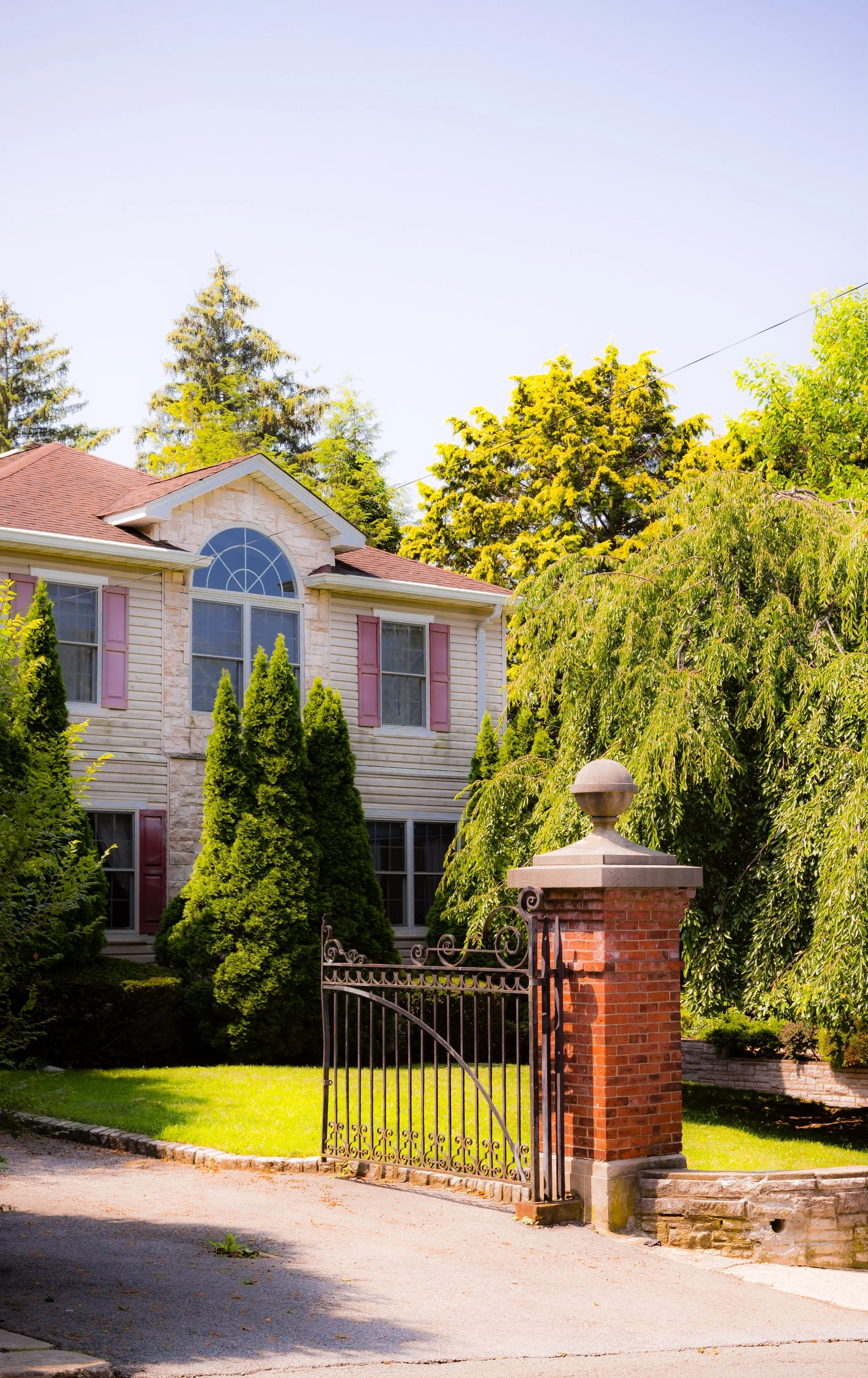
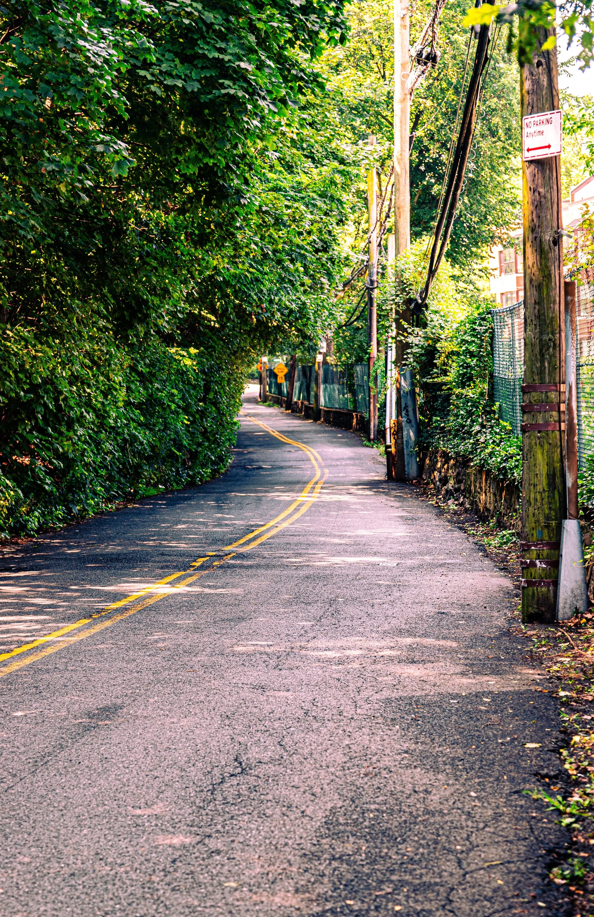
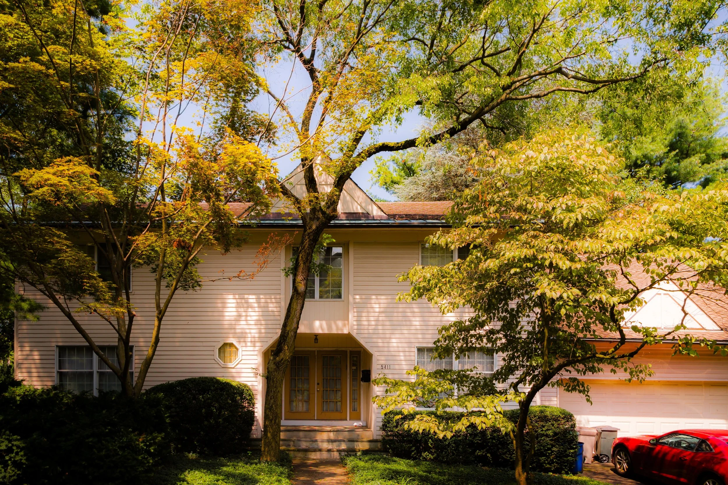
The neighborhood’s terrain rises steeply from the riverfront, affording panoramic views across the Hudson Valley and the Palisades of New Jersey. Its streets—Palisade Avenue, Independence Avenue, Fieldston Road, and Riverdale Avenue—curve through tree-lined slopes, connecting clusters of single-family homes, garden apartments, and modernist houses tucked amid parks and wooded ridges. The architecture is notably eclectic: Colonial and Tudor Revivals, mid-century ranches, and striking postwar modernist villas coexist in a landscape that feels more like a Westchester suburb than a New York City neighborhood.
Flanked by the College of Mount Saint Vincent on its southern boundary and Wave Hill just beyond, North Riverdale enjoys direct access to the Bronx’s green corridor—its western edge defined by the Hudson River Greenway and the cliffs of Seton Park, with Van Cortlandt Park a short distance inland. The combination of elevation, greenery, and quiet civic pride has long given North Riverdale its unique character as the Bronx’s final northern frontier.
Etymology
The name “North Riverdale” arose naturally from its position as the northern section of Riverdale, the Bronx’s historically affluent hilltop district overlooking the Hudson. “Riverdale” itself dates to the mid-19th century, when developers and estate owners coined the name to evoke pastoral gentility and proximity to the “North River”—the historic maritime name for the Hudson.
As the larger Riverdale area expanded in the early 20th century, its northernmost reaches—still sparsely developed and marked by large estates and wooded tracts—came to be distinguished as North Riverdale, denoting both geography and social continuity with its genteel southern neighbor.
The Neighborhood
Origins through the 19th Century
In the 18th century, the area that would become North Riverdale was part of the sprawling estates of Yonkers and Kingsbridge, comprising farmland, forest, and riverfront meadows belonging to colonial families such as the Tippets and the Delafields. The landscape’s rugged topography—its steep cliffs, rocky outcrops, and commanding views—discouraged intensive agriculture but made it ideal for country retreats.
By the mid-19th century, as railroads connected Manhattan to the Hudson Valley, the region evolved into a haven for wealthy industrialists seeking fresh air and privacy within reach of the city. Estates such as Greyston, Villa Charlotte Brontë, and Alderbrook dotted the bluffs, blending Gothic, Italianate, and Tudor styles into the wooded hills. The Hudson River Railroad (opened 1851)—today’s Metro-North Hudson Line—solidified Riverdale’s status as a commuter’s paradise. Though most early development occurred farther south, North Riverdale retained a semi-rural character, with winding carriage roads, stone walls, and sweeping lawns descending to the river.
The annexation of the western Bronx to New York City in 1874 brought new infrastructure but little urbanization to this corner. The area’s relative inaccessibility and elite ownership preserved its bucolic setting well into the next century.
Early 20th Century: Suburban Refinement and Institutional Growth
The early 1900s marked North Riverdale’s gradual transformation from rural estate land to an upper-middle-class residential district. The extension of Riverdale Avenue and the arrival of trolley lines improved access, while developers subdivided former estates into generous plots for detached homes. The College of Mount Saint Vincent, founded by the Sisters of Charity in the 1840s but formally relocated here by 1859, became the neighborhood’s intellectual and architectural anchor—a picturesque Gothic Revival campus perched above the Hudson, its stone buildings and river views defining the area’s skyline.
During the 1920s–1930s, stately single-family houses, Tudor-style cottages, and Colonial Revivals spread across the hills. Unlike most of the Bronx, North Riverdale developed without apartment density or commercial intrusion; zoning and topography favored residential continuity. Small churches and synagogues, like St. Margaret of Cortona Church (1926) and Riverdale Temple, reflected the area’s growing but close-knit population.
By the mid-20th century, North Riverdale had emerged as one of the Bronx’s most stable, quietly affluent neighborhoods—a hybrid of New York suburb and small town, defined by leafy streets, civic pride, and views that seemed to belong to another world entirely.
North Riverdale Video Coming Soon
Mid–Late 20th Century: Preservation and the Edge of the City
Through the postwar decades, North Riverdale remained remarkably insulated from the upheavals that transformed much of the Bronx. Its limited transit access, strong local institutions, and high homeownership rates shielded it from the urban decline that swept the borough in the 1960s–1970s. While the South Bronx burned, North Riverdale maintained tidy lawns, tree maintenance associations, and block parties.
The area’s relative seclusion attracted academics, professionals, and artists who valued its greenery and proximity to the city. Modernist homes designed by architects such as Eric Kebbon and Paul Rudolph appeared beside older Tudors, blending innovation with tradition. Meanwhile, civic groups like the North Riverdale Homeowners Association and the Riverdale Nature Preservancy championed environmental stewardship, protecting the neighborhood’s woodlands and resisting overdevelopment.
The Spuyten Duyvil Metro-North station (and later the Riverdale station) linked residents to Manhattan in under 30 minutes, reinforcing the area’s identity as a commuter enclave within the five boroughs. By the 1980s, North Riverdale had become synonymous with safety, quiet prosperity, and architectural diversity—a contrast to stereotypes of the Bronx’s urban grit.
21st Century: Continuity and Quiet Renewal
In the 21st century, North Riverdale remains one of New York City’s most bucolic neighborhoods, retaining its leafy, suburban character even as surrounding districts densify. New residents—drawn by good schools, scenic views, and community cohesion—have diversified the population while preserving its tranquil ethos. The College of Mount Saint Vincent continues to shape the neighborhood’s rhythm, its campus hosting cultural events and community programs that bridge academia and local life.
Small-scale development—sensitive infill housing and tasteful renovations—has refreshed the housing stock without disrupting the area’s harmony. The Hudson River Greenway and adjacent Seton Park provide vital recreational space, while environmental activism has focused on preserving the riverfront ecology and the mature tree canopy that defines the district’s aesthetic. Local businesses along Riverdale Avenue—cafés, family restaurants, and independent shops—maintain a village-like atmosphere.
Residents remain fiercely protective of their community’s identity, balancing modernization with stewardship. Community boards, homeowners’ groups, and park associations collaborate to ensure that North Riverdale continues to feel more like a garden suburb than an urban outpost.
North Riverdale Photo Gallery
Spirit and Legacy
The spirit of North Riverdale is one of serenity, continuity, and elevation—both literal and philosophical. Standing on the Hudson cliffs, the neighborhood feels suspended between city and countryside, its quiet streets and enduring architecture a testament to New York’s capacity for grace within its borders.
New York City
Use this custom Google map to explore where every neighborhood in all five boroughs of New York City is located.
The Five Boroughs
One of New York City’s unique qualities is its organization in to 5 boroughs: Manhattan, Brooklyn, Queens, The Bronx, and Staten Island. These boroughs are part pragmatic administrative districts, and part vestiges of the region’s past. Each borough is an entire county in New York State - in fact, Brooklyn is, officially, Kings County, while Staten Island is, officially Richmond County. But that’s not the whole story …
Initially, New York City was located on the southern tip of Manhattan (now the Financial District) that was once the Dutch colony of New Amsterdam. Across the East River, another city was rising: Brooklyn. In time, the city planners realized that unification between the rapidly rising cities would create commercial and industrial opportunities - through streamlined administration of the region.
So powerful was the pull of unification between New York and Brooklyn that three more counties were pulled into the unification: The Bronx, Queens, and Staten Island. And on January 1, 1898, the City of New York unified two cities and three counties into one Greater City of New York - containing the five boroughs we know today.
But because each borough developed differently and distinctly until unification, their neighborhoods likewise uniquely developed. Today, there are nearly 390 neighborhoods, each with their own histories, cultures, cuisines, and personalities - and each with residents who are fiercely proud of their corner of The Big Apple.


