LOCUST MANOR
Queens
Geographic Setting
Bounded by Baisley Boulevard to the northwest, 120th Avenue to the north, Farmers Boulevard to the east, the Belt Parkway to the south, and Guy R. Brewer Boulevard and Bedell Street to the west, Locust Manor occupies a low-lying pocket of southeastern Queens defined by its parkland, lakes, and postwar residential calm. Nestled between St. Albans, Springfield Gardens, and Rosedale, it sits within a triangle of green and water—bordered by Baisley Pond Park to the northwest and Springfield Park to the southeast—forming one of the borough’s most serene and self-contained communities.
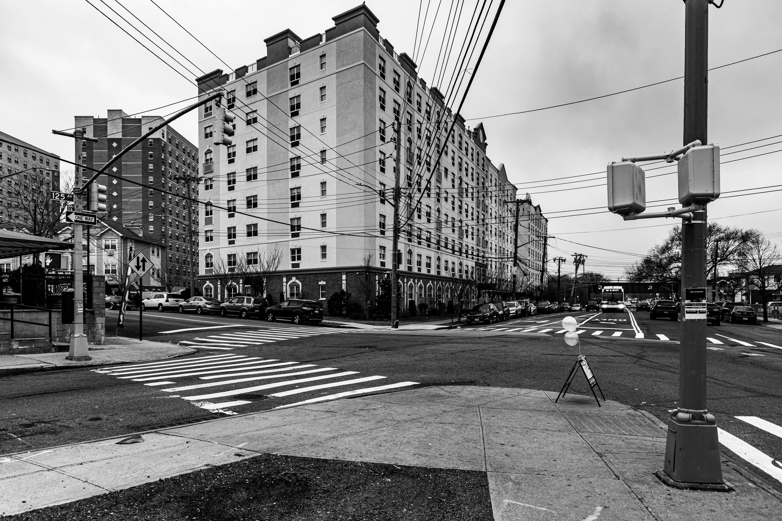
The neighborhood’s street grid unfurls around Locust Manor Station on the Long Island Rail Road, a vital transit link that connects residents to Jamaica Center and Manhattan while preserving the area’s suburban rhythm. Its homes—predominantly brick Tudors, Cape Cods, and postwar colonials—line gently curving streets shaded by sycamores and maples. Apartment co-ops, such as the Locust Manor Houses and the newer Springfield Gardens Condominiums, add to the housing diversity while maintaining the area’s low-rise character. To the south, the Belt Parkway and Guy R. Brewer Boulevard form the neighborhood’s transportation spine, linking it to JFK Airport and the broader South Queens region.
Etymology and Origins
The name “Locust Manor” evokes the area’s natural and rural past, referring to the stands of black locust trees that once grew throughout southeastern Queens. In the 19th century, the land that would become Locust Manor formed part of the Town of Jamaica’s agricultural belt, composed of farms, meadows, and ponds fed by creeks that drained into Jamaica Bay. The area was sparsely populated, known for its fresh air and fertile soil, and accessible only by carriage roads and the Long Island Rail Road’s southern branch.
The arrival of the LIRR Locust Manor Station in 1906 marked the area’s first major step toward development. The station took its name from a small residential subdivision then being marketed by local landowners, who sought to attract city dwellers to what was advertised as “country living within the city.” While growth remained modest in the early 20th century, the name endured—and would later be adopted by the postwar developments that transformed the landscape entirely.
The Neighborhood
Early–Mid 20th Century: From Farmland to Suburban Haven
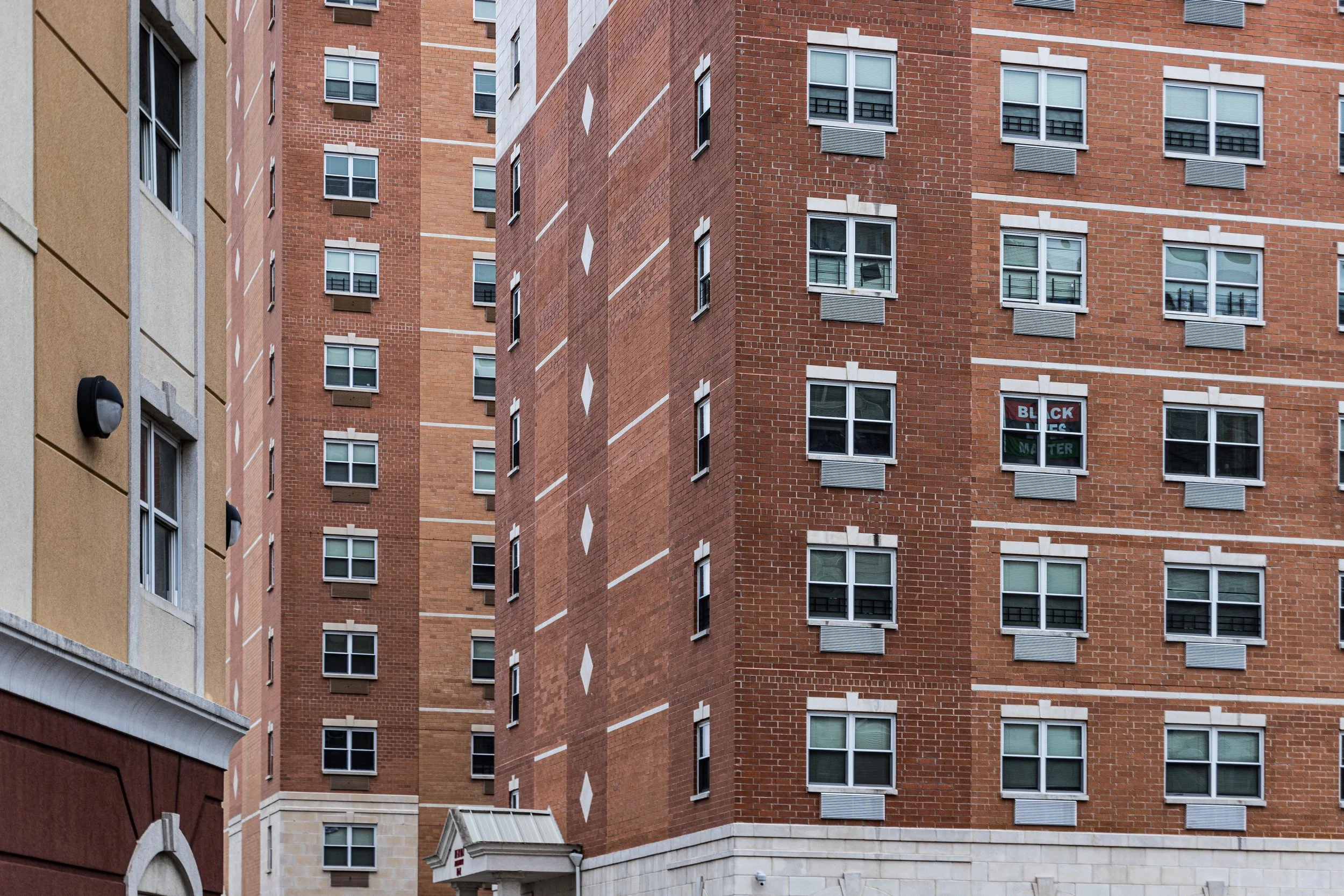
Locust Manor’s defining transformation came after World War II, as the last open tracts of southeastern Queens were subdivided into modern residential neighborhoods. The city’s expansion of sewers, schools, and park infrastructure in the 1940s and 1950s made the area ripe for housing development. In 1950, the New York City Housing Authority constructed the Locust Manor Houses, a cluster of low-rise red-brick buildings providing garden-style apartments for working- and middle-class families. The project, spread across several landscaped acres between Baisley Boulevard and 120th Avenue, represented a new urban ideal—public housing designed not as dense towers but as open, green, and human-scaled communities.
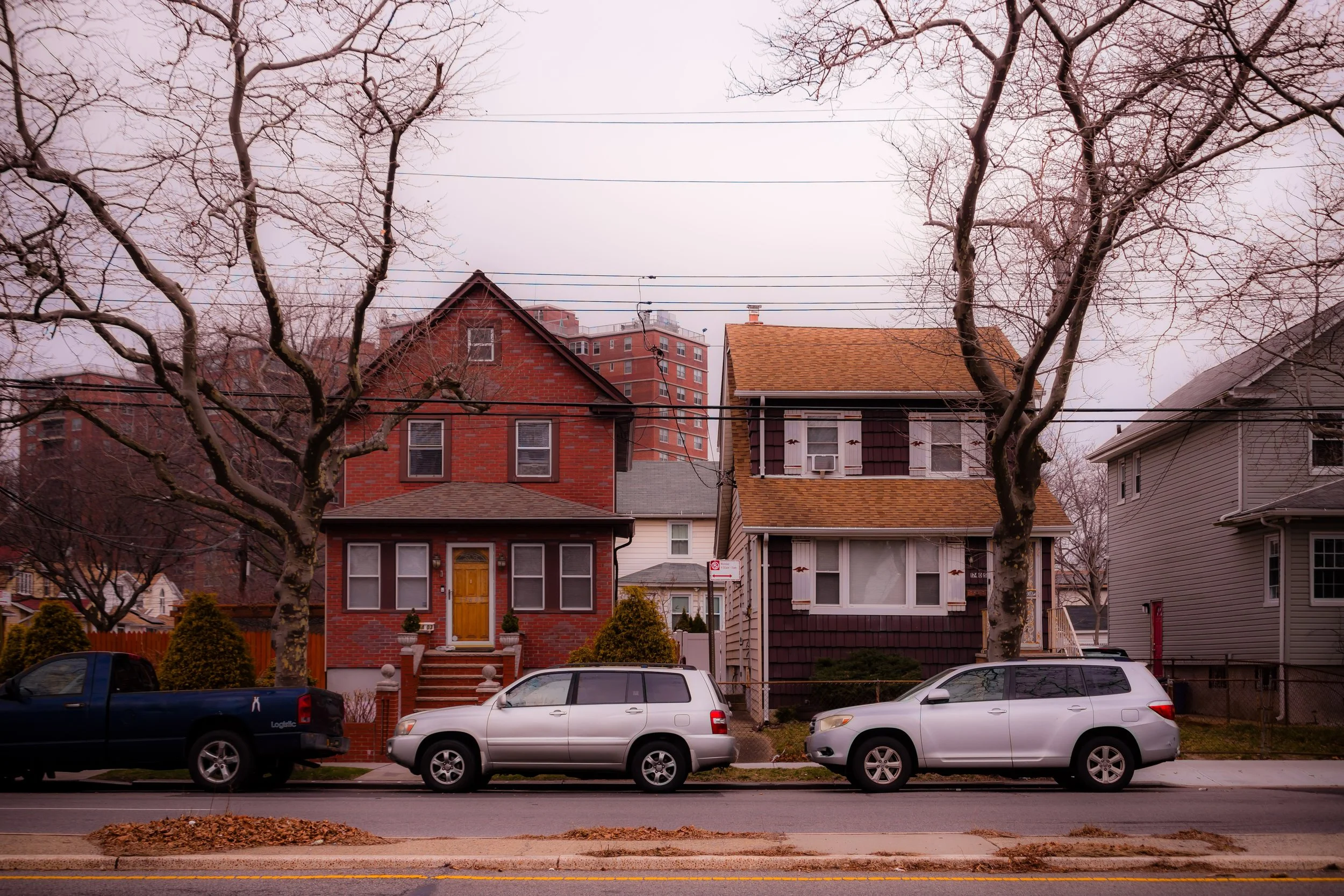
At the same time, surrounding parcels were developed with single-family homes, often purchased by veterans taking advantage of the G.I. Bill. Builders such as Bert and Harry Zimmerman and Arthur Levitt & Sons designed tidy brick homes with front lawns and driveways, catering to New Yorkers seeking suburban life without leaving city limits. By the mid-1950s, Locust Manor had emerged as one of Queens’ newest and most attractive planned neighborhoods, anchored by the LIRR Station and Baisley Pond Park, whose 30-acre lake offered boating, birdwatching, and open recreation.
The nearby Belt Parkway, completed in 1940, linked residents to both Manhattan and Long Island, reinforcing Locust Manor’s identity as a commuter-friendly suburb within the city.
Late 20th Century: Stability, Community, and Civic Life
From the 1960s onward, Locust Manor became a beacon of Black middle-class stability in southeastern Queens—a counterpart to neighboring St. Albans and Springfield Gardens. Many families who had served in the military or worked in city professions settled here, drawn by the area’s homeownership opportunities, good schools, and quiet streets. Churches such as St. Clement Pope Catholic Church, St. Albans Congregational Church, and Faith United Methodist Church served as spiritual and civic anchors, while community groups organized beautification drives and neighborhood watches that helped preserve Locust Manor’s sense of safety and pride.
The Locust Manor Civic Association, formed in the 1970s, played a key role in advocating for infrastructure improvements, park maintenance, and fair housing. Through periods of economic downturn that affected other parts of New York City, Locust Manor remained remarkably steady—its tree-lined streets and well-kept homes reflecting both resilience and a strong ethos of community stewardship.
During the late 20th century, the area’s demographics became increasingly diverse, welcoming Caribbean-American, African-American, and Hispanic families while maintaining a cohesive local culture rooted in education, civic engagement, and homeownership. Baisley Pond Park continued to serve as a social hub, hosting concerts, sports leagues, and the annual Community Day Festival, which celebrates the neighborhood’s heritage and unity.
Locust Manor Photographic Video
21st Century: Renewal and Reinvestment
In the 21st century, Locust Manor has experienced measured growth and renewal. The Locust Manor Station, renovated in the early 2000s, remains a vital commuter link for residents traveling to Midtown Manhattan and Long Island. The surrounding streets—120th Avenue, Farmers Boulevard, and Guy R. Brewer Boulevard—have seen modest commercial revitalization, with new small businesses, cafés, and service shops reflecting the neighborhood’s evolving diversity.
Residential investment has continued with the construction of new condominiums and two-family homes, complementing the original postwar housing stock. The Springfield Gardens Condominiums, completed in the 2010s near Farmers Boulevard, represent a new generation of middle-income housing, designed to keep homeownership accessible to local families. Meanwhile, Baisley Pond Park and Springfield Park—both restored under city green initiatives—serve as the lungs of the neighborhood, providing open space, playgrounds, and nature trails.
Locust Manor’s sense of community remains as strong as ever. Neighborhood associations and block clubs continue to organize seasonal cleanups, senior outreach programs, and youth mentorship initiatives. Its proximity to JFK International Airport, York College, and major highways offers convenience without sacrificing tranquility—making it one of the most livable corners of southeastern Queens.
Locust Manor Photo Gallery
Spirit and Legacy
Locust Manor’s legacy is one of rootedness, pride, and perseverance. From its pastoral beginnings to its rise as a bastion of middle-class homeownership, the neighborhood has embodied the ideals of stability and opportunity that define Queens’ southeastern communities. It is a place where generations of families have built lives grounded in education, service, and faith—where lawns are tended with care and neighbors greet one another by name.
New York City
Use this custom Google map to explore where every neighborhood in all five boroughs of New York City is located.
The Five Boroughs
One of New York City’s unique qualities is its organization in to 5 boroughs: Manhattan, Brooklyn, Queens, The Bronx, and Staten Island. These boroughs are part pragmatic administrative districts, and part vestiges of the region’s past. Each borough is an entire county in New York State - in fact, Brooklyn is, officially, Kings County, while Staten Island is, officially Richmond County. But that’s not the whole story …
Initially, New York City was located on the southern tip of Manhattan (now the Financial District) that was once the Dutch colony of New Amsterdam. Across the East River, another city was rising: Brooklyn. In time, the city planners realized that unification between the rapidly rising cities would create commercial and industrial opportunities - through streamlined administration of the region.
So powerful was the pull of unification between New York and Brooklyn that three more counties were pulled into the unification: The Bronx, Queens, and Staten Island. And on January 1, 1898, the City of New York unified two cities and three counties into one Greater City of New York - containing the five boroughs we know today.
But because each borough developed differently and distinctly until unification, their neighborhoods likewise uniquely developed. Today, there are nearly 390 neighborhoods, each with their own histories, cultures, cuisines, and personalities - and each with residents who are fiercely proud of their corner of The Big Apple.


