PROSPECT HEIGHTS
Brooklyn
Geographic Setting
Bounded by Flatbush Avenue and Grand Army Plaza to the west and southwest, Atlantic Avenue to the north, Washington Avenue to the east, and Eastern Parkway to the south, Prospect Heights forms one of Brooklyn’s most architecturally elegant and culturally resonant neighborhoods. Nestled between Downtown Brooklyn, Park Slope, and Crown Heights, it occupies a commanding rise above the surrounding borough—a district of broad, tree-lined streets, stately brownstones, and historic civic grandeur.
Its topography slopes gently southward toward Prospect Park, while its western edge, marked by Grand Army Plaza, anchors one of the city’s most iconic urban intersections. Within these boundaries stand many of Brooklyn’s most celebrated institutions: the Brooklyn Museum, the Brooklyn Botanic Garden, and the Brooklyn Public Library’s Central Branch. Along its avenues—Vanderbilt, Underhill, Carlton, and Washington—historic rowhouses mix with cafés, corner shops, and new residential buildings that continue the neighborhood’s tradition of graceful density. Prospect Heights embodies the transitional harmony between Brooklyn’s civic core and its residential heart.
Etymology and Origins
The name Prospect Heights emerged in the mid-19th century, derived from its elevated position above the surrounding plains and its proximity to Prospect Park, whose planning began in the 1860s. The term “heights” echoed similar designations across Brooklyn—such as Brooklyn Heights and Crown Heights—each referring to natural ridges or gentle elevations that shaped early settlement patterns.
Before development, the area formed part of the Town of Flatbush, a Dutch agricultural district settled in the 17th century. Its fertile soil supported farms and meadows owned by families like the Lefferts and Vanderbilts, whose holdings stretched from Atlantic Avenue to the future Eastern Parkway. By the early 19th century, the region had become semi-rural, dotted with farmhouses and small roads leading to the villages of Bedford and Flatbush.
The creation of Prospect Park (1867–1873) by Frederick Law Olmsted and Calvert Vaux, along with the construction of Eastern Parkway, transformed the landscape. Eastern Parkway—America’s first parkway—was conceived as a grand, Parisian-style boulevard linking Prospect Park to the proposed civic and cultural center that would rise along its northern edge. This vision became the catalyst for Prospect Heights’ emergence as one of Brooklyn’s premier residential neighborhoods.
The Neighborhood
19th Century: The Rise of a Brownstone District
Prospect Heights developed rapidly between the 1870s and 1890s, as streetcar lines and elevated railroads brought the area within commuting distance of Downtown Brooklyn and Manhattan. Builders filled its blocks with elegant brownstone and limestone rowhouses, reflecting the architectural fashions of the Gilded Age—Italianate, Neo-Grec, Romanesque Revival, and Renaissance Revival.
The Prospect Heights Association of Property Owners, organized in the 1880s, promoted civic improvement and enforced building standards that preserved architectural harmony. The neighborhood’s appeal rested on its combination of grandeur and domesticity: stately but not ostentatious, urbane yet neighborly. Residents were professionals, educators, and small business owners—largely Irish, German, and later Jewish families—who valued proximity to cultural amenities and public transit.
The Dean Street Rowhouses and St. Marks Avenue blocks became particularly noted for their craftsmanship, while Vanderbilt Avenue evolved into a genteel shopping street lined with grocers, pharmacies, and carriage houses. By the turn of the 20th century, Prospect Heights had achieved the mature brownstone character it retains today—a neighborhood shaped by the same civic optimism that built the park next door.
Early 20th Century: Civic Grandeur and Cultural Foundations
The early 20th century brought a wave of monumental construction that gave Prospect Heights its enduring civic identity. The Brooklyn Museum (opened 1897), designed by McKim, Mead & White, anchored the district’s cultural presence with its Beaux-Arts colonnade facing Eastern Parkway. The Brooklyn Botanic Garden (founded 1910) and the Brooklyn Central Library (completed 1941) soon followed, transforming the southern edge of the neighborhood into a cultural campus unrivaled in the borough.
Residential life flourished alongside these institutions. Elegant limestone apartment buildings and prewar co-ops appeared on Eastern Parkway and St. Johns Place, offering elevator living with park views. The population grew more diverse, with Italian and Jewish families joining earlier Irish and German residents. Churches and synagogues—including Congregation Beth Elohim and St. Joseph’s Church—became cornerstones of community life.
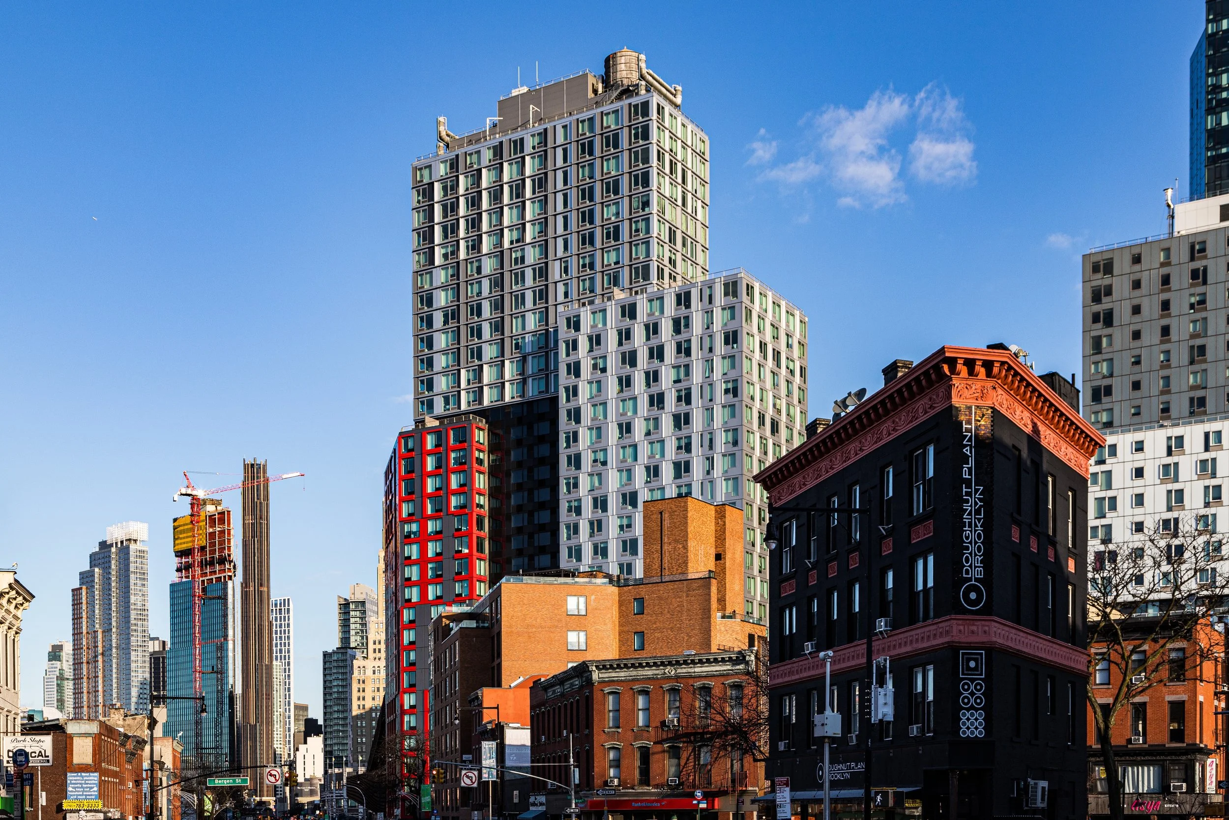
Through the 1920s–1940s, Prospect Heights maintained its middle-class stability, buffered from industrial encroachment by the green belt of Eastern Parkway and the prestige of Grand Army Plaza. The completion of Barclays Terminal (now Atlantic Terminal) and the convergence of multiple subway lines under Atlantic Avenue further strengthened its position as a vital link between Downtown Brooklyn and the borough’s residential south.
Prospect Heights Photographic Video
Mid–Late 20th Century: Urban Challenges and Community Activism
The postwar decades brought both decline and defiance. Like many Brooklyn neighborhoods, Prospect Heights faced the pressures of suburban flight, redlining, and economic disinvestment. By the 1960s–1970s, portions of the neighborhood—particularly near Atlantic Avenue—experienced property abandonment and rising vacancy. Yet even at its nadir, Prospect Heights retained strong community institutions.
Residents organized through block associations, churches, and the Prospect Heights Neighborhood Development Council, founded in the 1970s to combat neglect and preserve historic housing. Their activism paralleled similar movements in nearby Park Slope and Fort Greene, laying the groundwork for the neighborhood’s later revival.
At the same time, Prospect Heights became a beacon of Afro-Caribbean and African American culture, as families from Crown Heights and the wider Caribbean diaspora brought new energy to its streets. Annual West Indian Day Parade celebrations along Eastern Parkway—one of the city’s most vibrant cultural events—cemented the area’s place in Brooklyn’s multicultural identity.
21st Century: Renaissance and Redevelopment
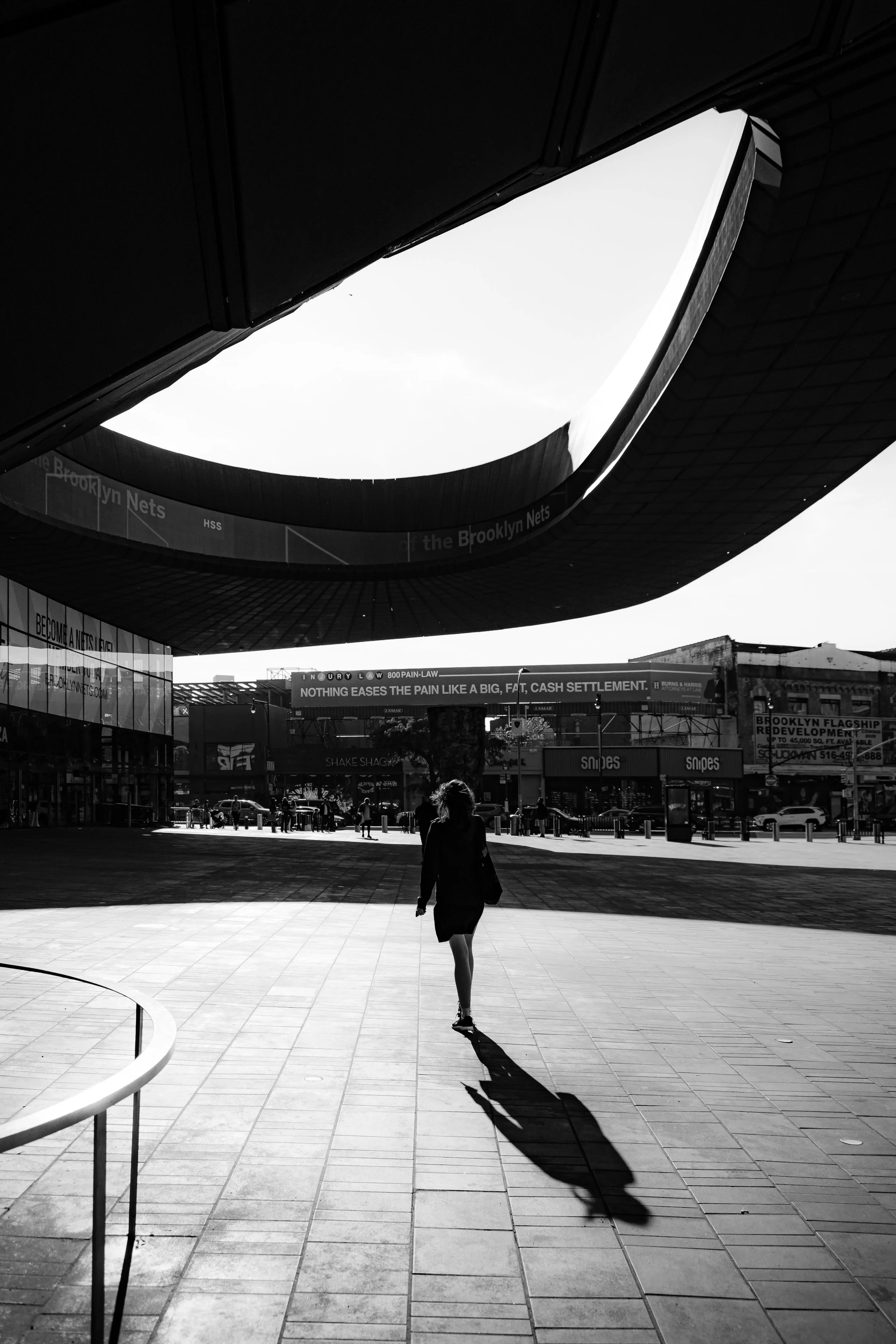
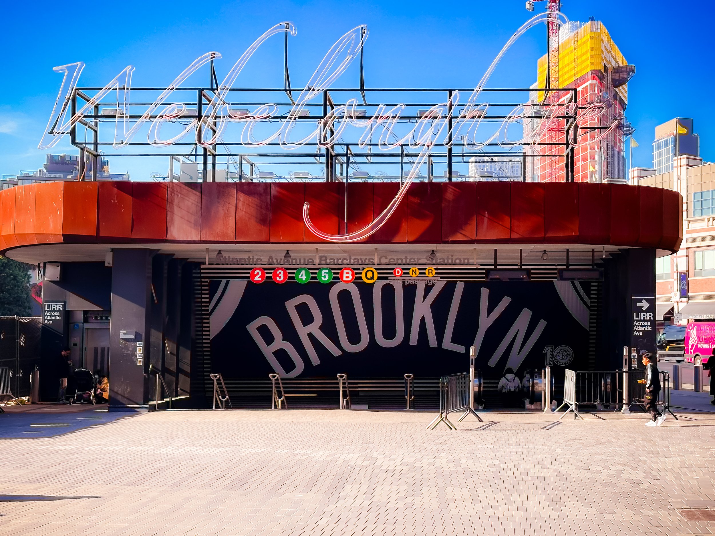
In the 21st century, Prospect Heights has experienced profound transformation. Restoration of its brownstones, the arrival of new residents, and major redevelopment around Atlantic Yards/Barclays Center have propelled it into the forefront of Brooklyn’s ongoing renaissance. The opening of the Barclays Center (2012) on the neighborhood’s northwest edge introduced a dramatic new civic landmark—controversial for its scale and impact, yet catalytic in reshaping the local economy.
Despite this influx of change, Prospect Heights has retained its essential character: walkable, tree-shaded, and architecturally coherent. Vanderbilt Avenue, once lined with hardware stores and grocers, has evolved into a corridor of cafés, restaurants, and independent boutiques, while Underhill Avenue has emerged as a community spine of family life and local institutions. Zoning protections and the Prospect Heights Historic District (designated 2009) ensure that much of its late 19th-century architecture remains intact.
The neighborhood’s population today reflects Brooklyn’s global identity: Caribbean, Jewish, African American, Latino, and international newcomers coexist within the same blocks, contributing to an environment of diversity and dialogue. Schools, farmers’ markets, and civic events such as the Vanderbilt Open Streets have reinforced Prospect Heights’ reputation as one of New York’s most livable communities.
Prospect Heights Photo Gallery
Spirit and Legacy
The spirit of Prospect Heights lies in its balance between civic grandeur and human scale. It is a neighborhood where architectural ambition meets grassroots community—a place defined as much by the colonnades of the Brooklyn Museum as by the stoops of Sterling Place. Over more than a century, it has exemplified Brooklyn’s capacity for reinvention without erasure, for resilience without rigidity.
New York City
Use this custom Google map to explore where every neighborhood in all five boroughs of New York City is located.
The Five Boroughs
One of New York City’s unique qualities is its organization in to 5 boroughs: Manhattan, Brooklyn, Queens, The Bronx, and Staten Island. These boroughs are part pragmatic administrative districts, and part vestiges of the region’s past. Each borough is an entire county in New York State - in fact, Brooklyn is, officially, Kings County, while Staten Island is, officially Richmond County. But that’s not the whole story …
Initially, New York City was located on the southern tip of Manhattan (now the Financial District) that was once the Dutch colony of New Amsterdam. Across the East River, another city was rising: Brooklyn. In time, the city planners realized that unification between the rapidly rising cities would create commercial and industrial opportunities - through streamlined administration of the region.
So powerful was the pull of unification between New York and Brooklyn that three more counties were pulled into the unification: The Bronx, Queens, and Staten Island. And on January 1, 1898, the City of New York unified two cities and three counties into one Greater City of New York - containing the five boroughs we know today.
But because each borough developed differently and distinctly until unification, their neighborhoods likewise uniquely developed. Today, there are nearly 390 neighborhoods, each with their own histories, cultures, cuisines, and personalities - and each with residents who are fiercely proud of their corner of The Big Apple.


